
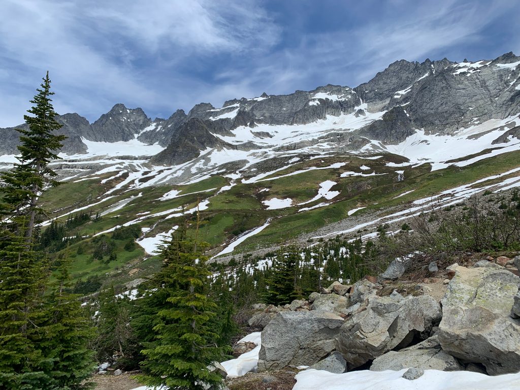
Place · 0.8 mi away
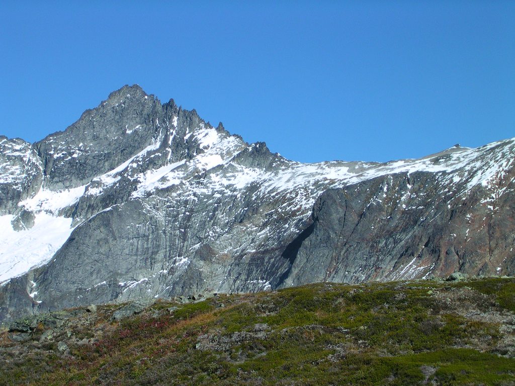
Forbidden Peak (8,815 ft) is a striking alpine summit in the Boston Basin area, prized by climbers for its knife-edge ridges and panoramic views. This is not a walk-up—every route involves real alpine decision-making, exposure, and a complex descent. It’s a dream objective if you have the skills, and a humbling place to learn if you don’t.
The standard approach climbs steeply from Cascade River Road into Boston Basin. The climber’s path is rough, overgrown in spots, and bouldery. Water is usually available in the basin and up toward the base of the technical gullies; filter or boil. Parties on the North Ridge commonly use Sharkfin Col to reach the Boston Glacier, with early-season snow gullies and a couple of rappels onto the glacier. Bivy sites exist along the North Ridge. Between Boston Basin and the end of the West Ridge rappels, don’t count on running water—carry what you need or melt snow.
Bring a light alpine rack (cams roughly 0.2–2 with nuts), alpine draws/slings, a single rope (60 m is common; some parties carry 70 m), helmets, and glacier kit where applicable. Early season often calls for aluminum crampons and a single axe; later in summer, firm morning snow or ice may justify burlier footwear and even a picket. The descent—frequently via the West Ridge—requires careful route-finding, mixed downclimbing, and multiple rappels. Expect tat anchors in the couloir; choose wisely. Navigation on lower slabs can be serious in the dark, so budget time and consider carrying a track.
Objective hazards include moat/bergschrund transitions, crevasses on the Boston and Forbidden Glaciers, and rockfall or insecure, thawing gullies as the season progresses. Rope snags on rappel are a known problem and have benighted parties. Popular weather windows can create bottlenecks on the ridge—build a generous time buffer. Trailhead break-ins have been reported; leave nothing visible.
For overnights, a backcountry permit is required within the park complex. There are no entry or parking fees within the park itself, but parking along Cascade River Road is typically on National Forest land—plan for a parking pass (such as a Northwest Forest Pass). The Boston Basin/Forbidden Peak pullout is essentially a climber’s trailhead with no services. In the alpine, composting toilets may be present at some established climbing zones in the park, but you should be prepared to pack out waste and follow Leave No Trace if none is available.
Mid- to late summer offers the most reliable weather and longer daylight for big days. Early season (June) often means steep snow in the approach gullies and some snow on route; as the season advances, those gullies can melt out into loose dirt and rock. Start very early to beat both crowds and afternoon creek crossings, and to give yourself margin for the intricate descent.
Place · 0.8 mi away
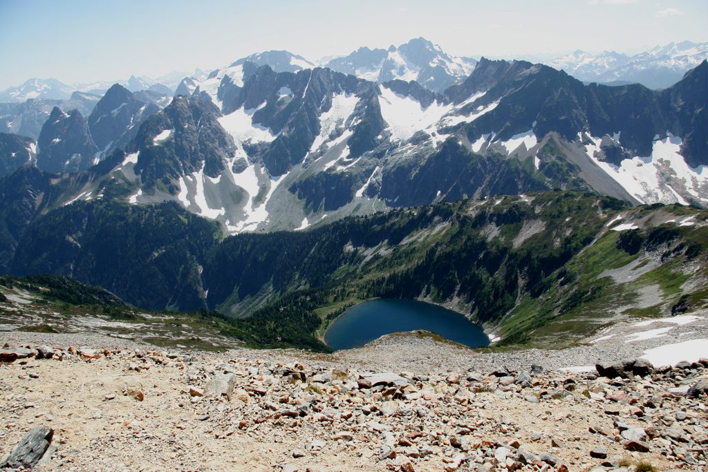
Place · 1.9 mi away
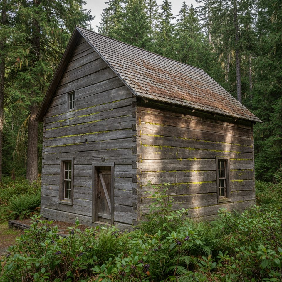
Place · 2.4 mi away

Place · 2.7 mi away
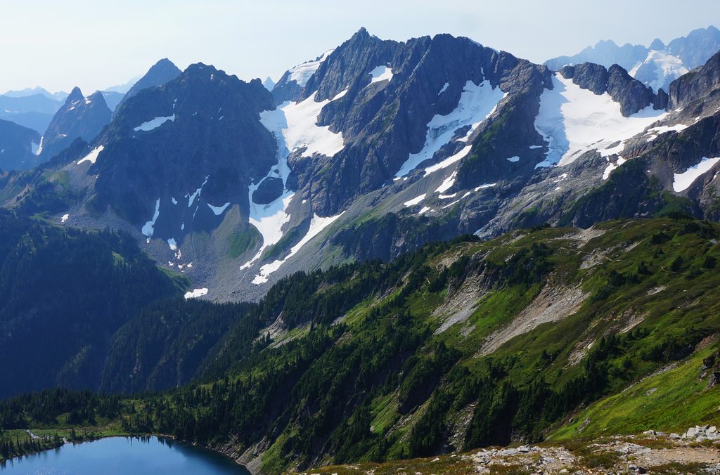
Challenging · 2.6 mi away
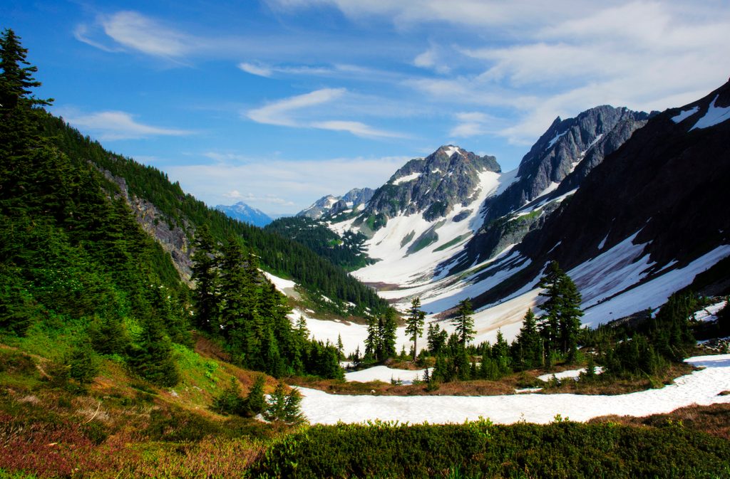
Moderate · 2.6 mi away
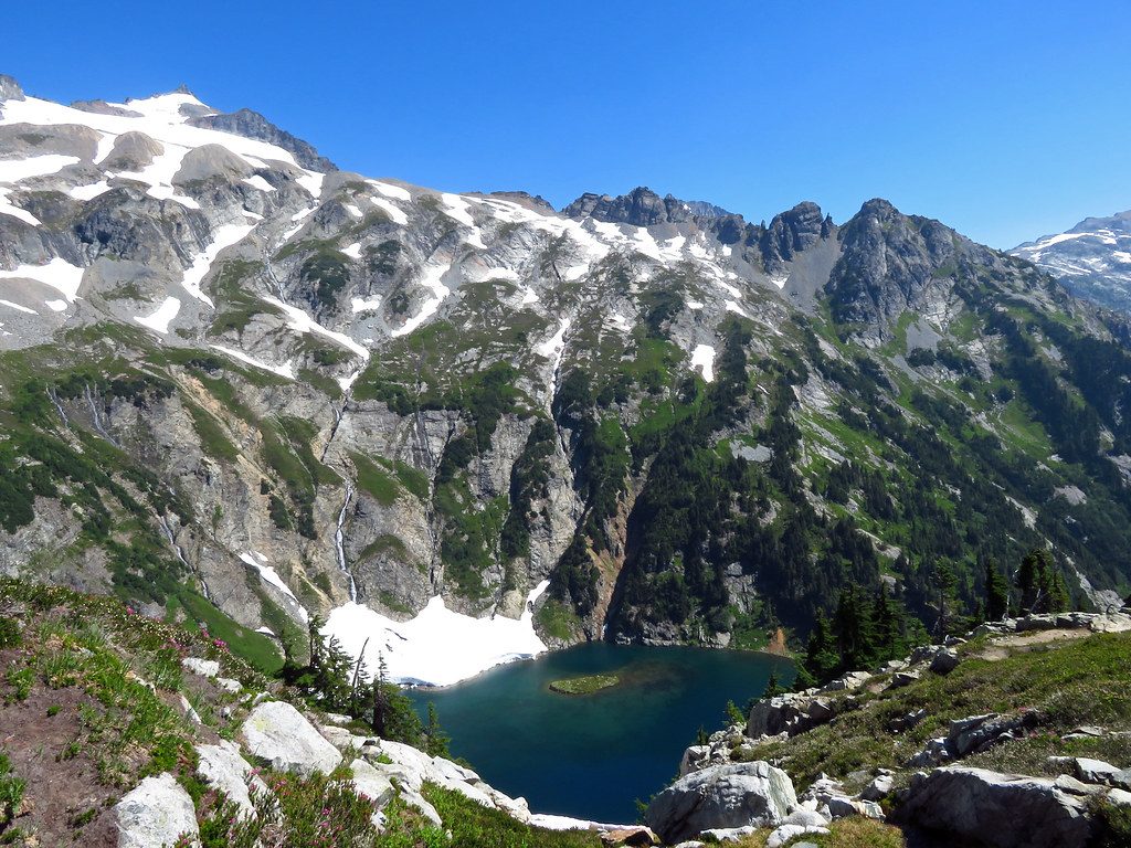
Challenging · 2.6 mi away
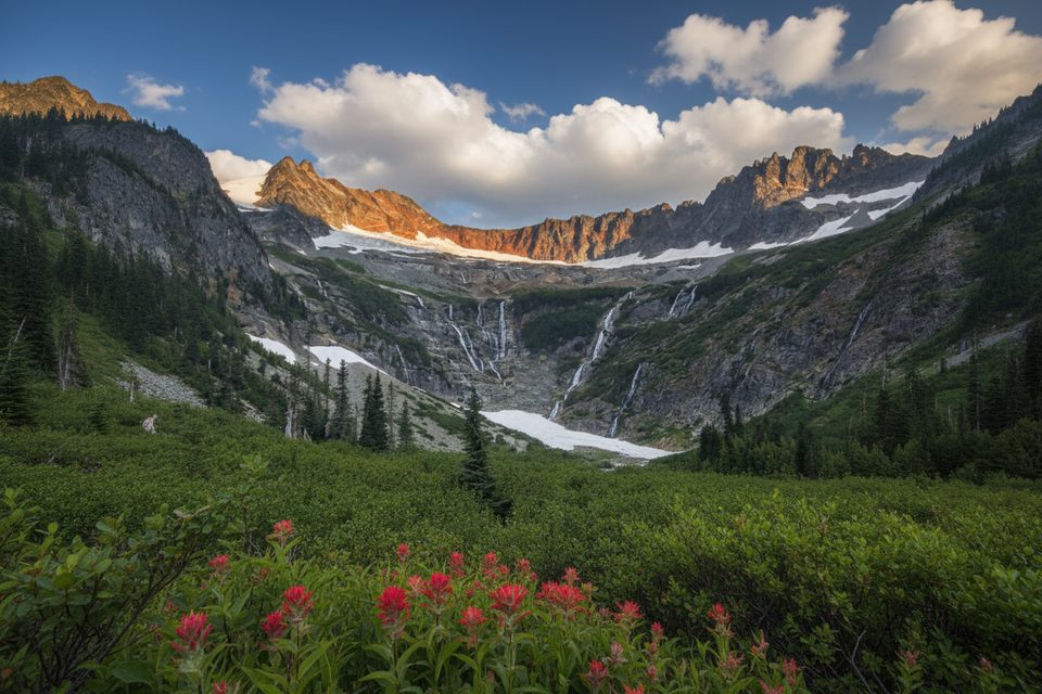
Challenging · 2.6 mi away

Parkwolf Tour Guide
