

Place · 0.8 mi away
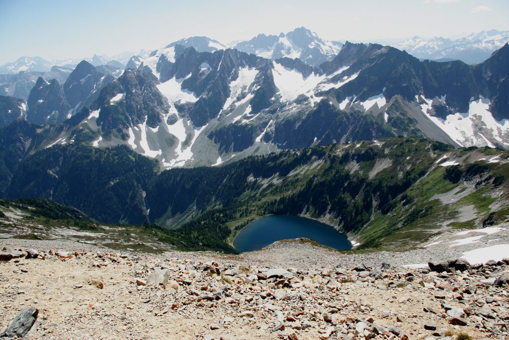
Perched at roughly 7,400 feet on Sahale Arm, this backcountry camp trades comfort for cinematic alpine drama—think serrated peaks, hanging glaciers, and, on clear days, distant views that can include both Mount Rainier and Mount Baker. Expect wind, exposure, and unforgettable sunsets. Sites are rock‑walled pads tucked into the moraine, and the open‑air “toilet with a view” is as famous as the panorama.
A backcountry permit is required year‑round, and Sahale is among the park’s most coveted camps. The park runs an Early‑Access Lottery in March, then a general on‑sale (typically late April) for remaining sites; about 40% are held for walk‑up permits. Reservations must be made at least two days before your start date, and all reserved permits must be picked up by 11 a.m. on your start day or they’re canceled. For trips accessed via Cascade River Road (this one), you must pick up in person at the Wilderness Information Center in Marblemount. Expect per‑person fees and a reservation fee. Bear canisters are required/strongly recommended and can be borrowed at the WIC. Build a realistic itinerary—online booking enforces daily mileage limits; call rangers if you need exceptions.
Camps usually melt out in early July and are snowed over again by late September. Cascade River Road often opens in July but varies by snow year; early season may require extra road walking. Before midsummer, anticipate steep, icy slopes and uncertain crossings; an ice axe can be necessary. No advance reservations are allowed for trips starting before July 1, though walk‑ups may be possible—check conditions with rangers when you pick up your permit.
From the Cascade Pass Trailhead, it’s about 12 miles round trip with roughly 3,940 feet of gain. You’ll grind up ~35 shaded switchbacks to Cascade Pass (about 3.7 miles), then turn up Sahale Arm for increasingly big views and increasingly steep, exposed terrain. The final 0.5–0.7 miles are on blocky talus/moraine to reach camp. If that talus is icy in the morning, waiting for sun‑softening can make the descent safer. Expect weekend crowds to Cascade Pass; things thin out as you climb the Arm.
Black bears, mountain goats, marmots, and pikas are common. Never feed wildlife. Urinate on rocks (not vegetation) to avoid attracting goats and damaging fragile meadows. Stay on durable surfaces, camp only in designated pads on your permit, and follow all waste rules (toilets or wag bags as conditions dictate). Fires aren’t allowed here.
August through late September is the sweet spot for snow‑free travel and stable water sources. Aim for weekdays to avoid the Cascade Pass day‑hiker surge. For photos, sunrise and sunset light up the peaks; midday can be harsh and windy. In early season, start later if the talus is icy—sun makes the footing friendlier.
If you strike out on Sahale, keep lower‑elevation options like Pelton Basin in your pocket; it offers reliable water and facilities and makes a solid plan B while still delivering huge scenery.
Place · 0.8 mi away
Place · 1.4 mi away
Place · 1.5 mi away
Place · 1.9 mi away
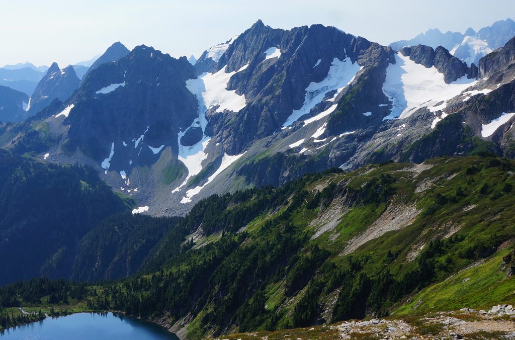
Challenging · 1.5 mi away
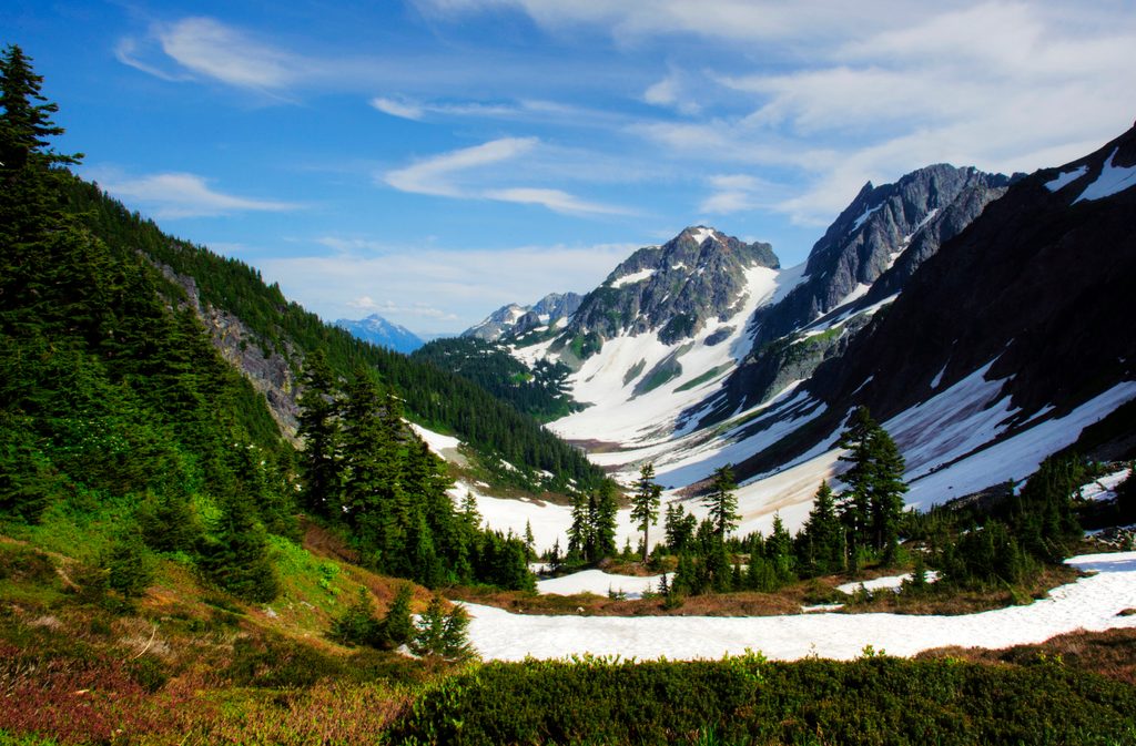
Moderate · 1.5 mi away
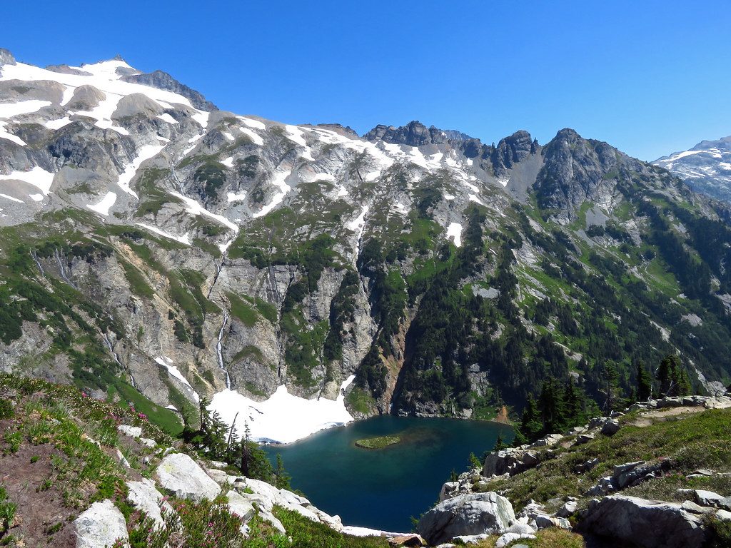
Challenging · 1.5 mi away
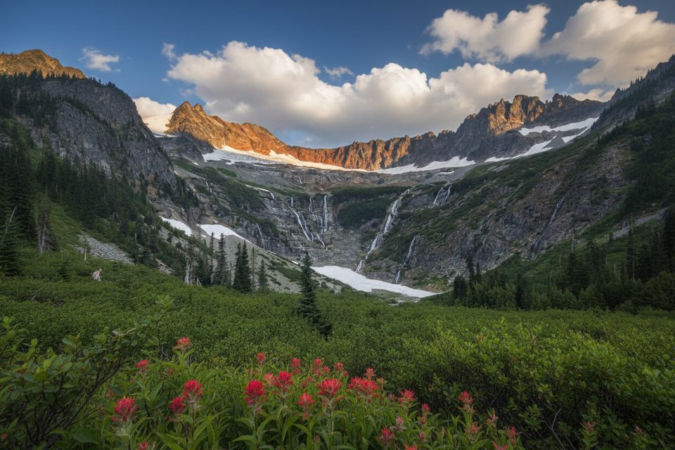
Challenging · 1.5 mi away

Parkwolf Tour Guide
