
Place · 0.9 mi away
Challenging
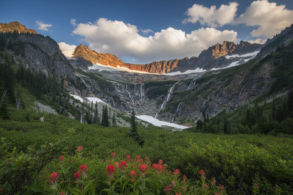
This is the steep spur trail that climbs from the Cascade Pass/Pelton Basin area up into Horseshoe Basin inside North Cascades National Park. Expect a punchy ascent to a high, tundra‑like hanging basin with big east‑side views, seasonal streams and waterfalls, and remnants of historic mining. Wildlife sightings are possible, and the terrain feels remote once you leave the main corridor.
The Horseshoe Basin Trail itself climbs over 1,300 feet in about 1.5 miles one way from the Pelton Basin area. Most hikers reach it via the Cascade Pass approach, which is a much longer undertaking: it’s about 17 miles with roughly 4,550 feet of gain to reach the basin from the Cascade Pass side, and is often done as an overnight. Plan your day around that reality—the spur is short but steep; getting there is the big lift.
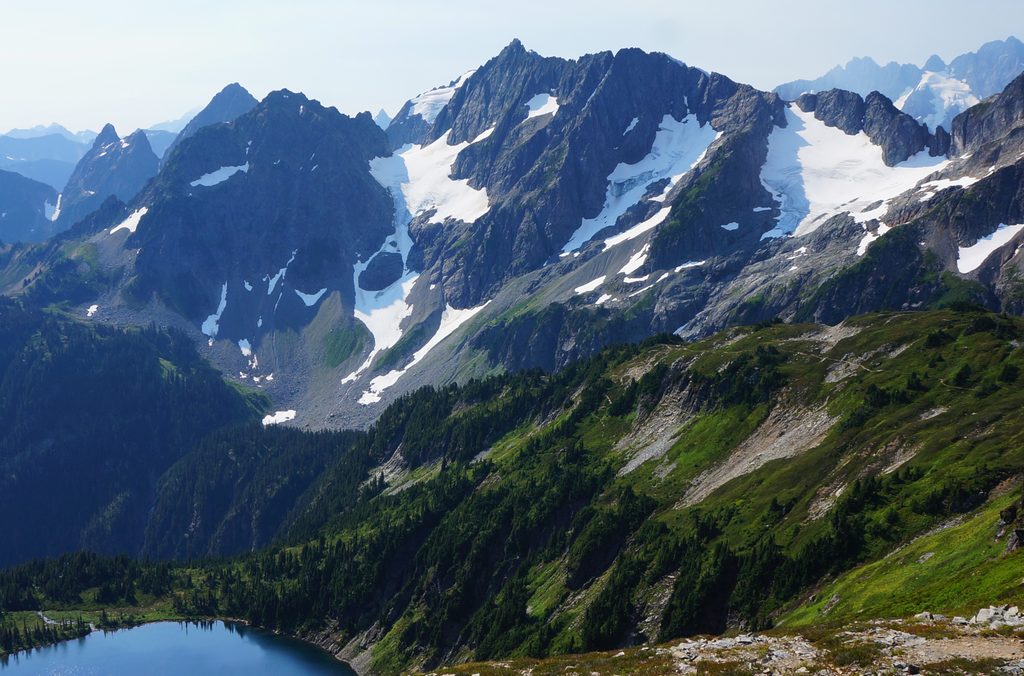
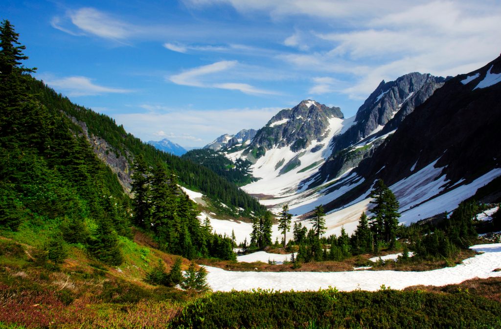
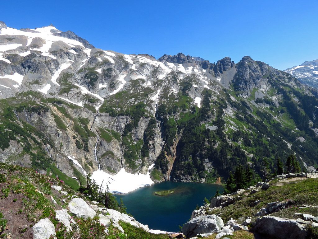
After the sustained climb, the basin opens into broad, emerald slopes with subalpine fir, trickling creeks and bright summer wildflowers. Look for cascading waterfalls and scattered relics from past mining activity. The landscape reflects classic North Cascades glacial carving—an elevated cirque with a high, continental feel on the range’s east side.
All overnight backcountry trips in the park require a permit picked up in person. Dogs aren’t allowed on park trails or in the backcountry. The Cascade Pass high country typically opens mid‑summer and can see fresh snow arrive by late September, so build flexibility into your plan.
Mid‑July through September is the sweet spot most years, after lingering snow melts out but before early autumn storms. Go early in the day for cooler temps and better light on the basin walls; afternoons can be hot on exposed slopes and thunderstorms can build quickly.
Park at the Cascade Pass trailhead (large lot with pit toilets) if approaching from the west; there is no road access via Stehekin, which is reached by boat, foot, or small plane.
Steep, exposed climb with limited water; high country often holds snow into midsummer and can see fresh snow by late September. Overnight permits required; no dogs on park trails.
Place · 0.9 mi away
Place · 1.1 mi away

Place · 1.3 mi away
Place · 1.5 mi away
Challenging · 0 mi away
Moderate · 0 mi away
Challenging · 0 mi away
Challenging · 7.2 mi away

Parkwolf Tour Guide
