
Place · 0.7 mi away

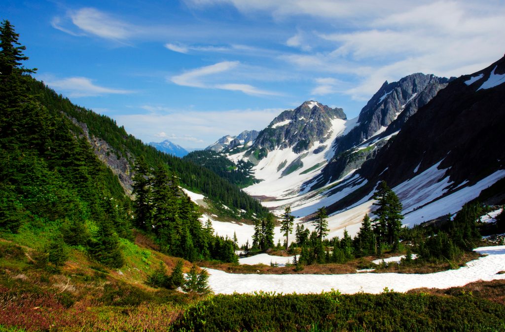
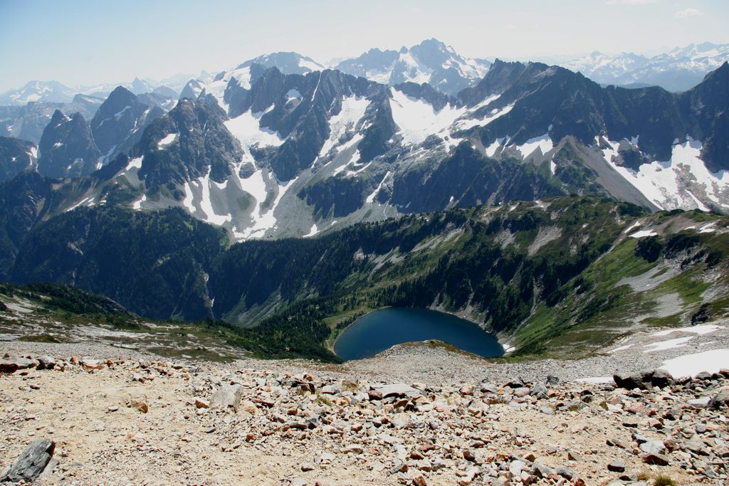
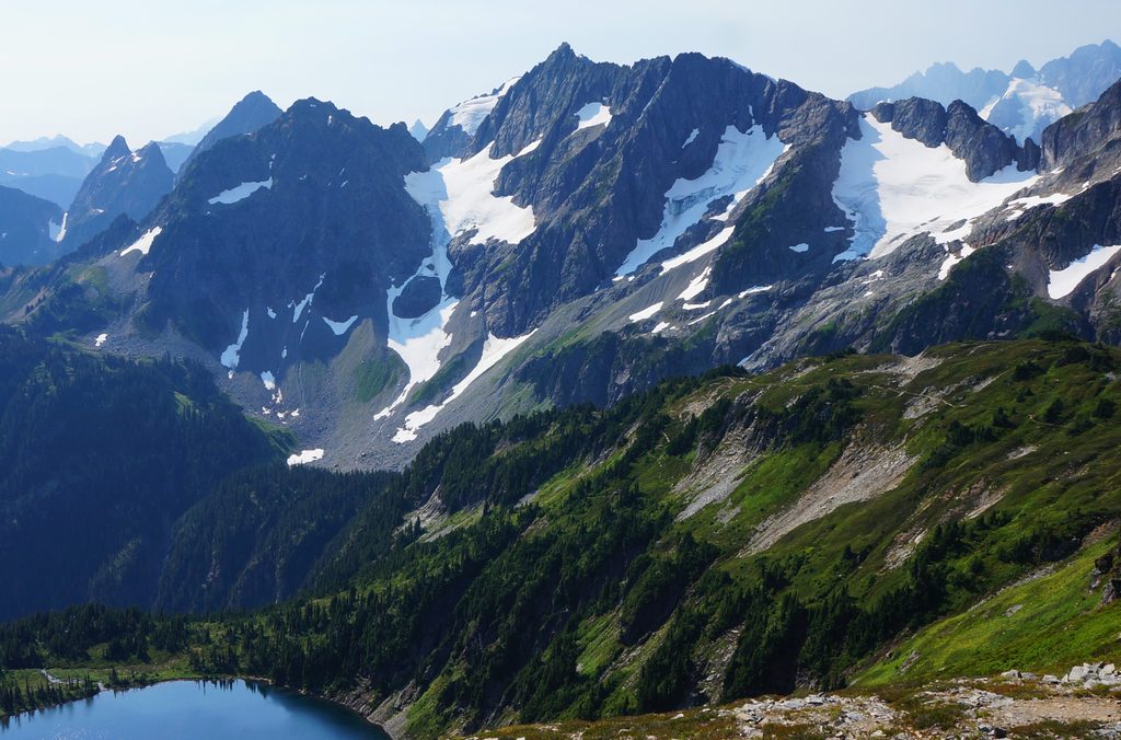
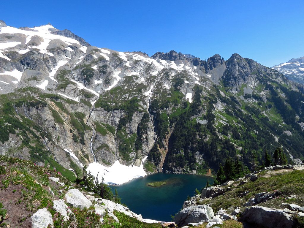
Doubtful Lake sits in a dramatic alpine bowl tucked below Sahale Arm, rewarding those who venture beyond Cascade Pass with a quiet, blue-green lake backed by serrated peaks. This is classic North Cascades country—glacier-carved terrain, big views, and a real sense of remoteness.
Plan on a challenging day: about 9.6 miles out-and-back with roughly 3,136 feet of total gain and an average hiking time around six hours. The approach to Cascade Pass is well-graded with many switchbacks that make the climb efficient rather than punishing. From the pass, the trail drops roughly 500 feet down steeper, rockier tread to reach Doubtful Lake—beautiful, but the footing demands attention, especially on the way back up.
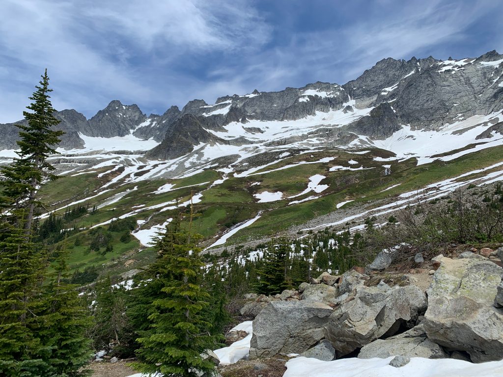
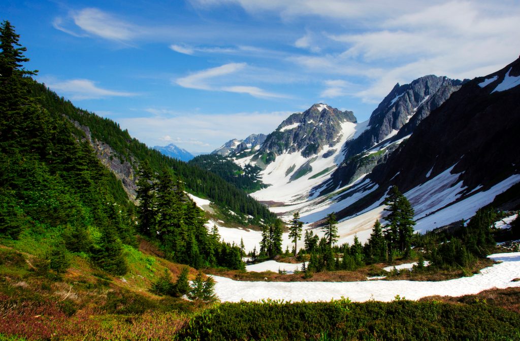
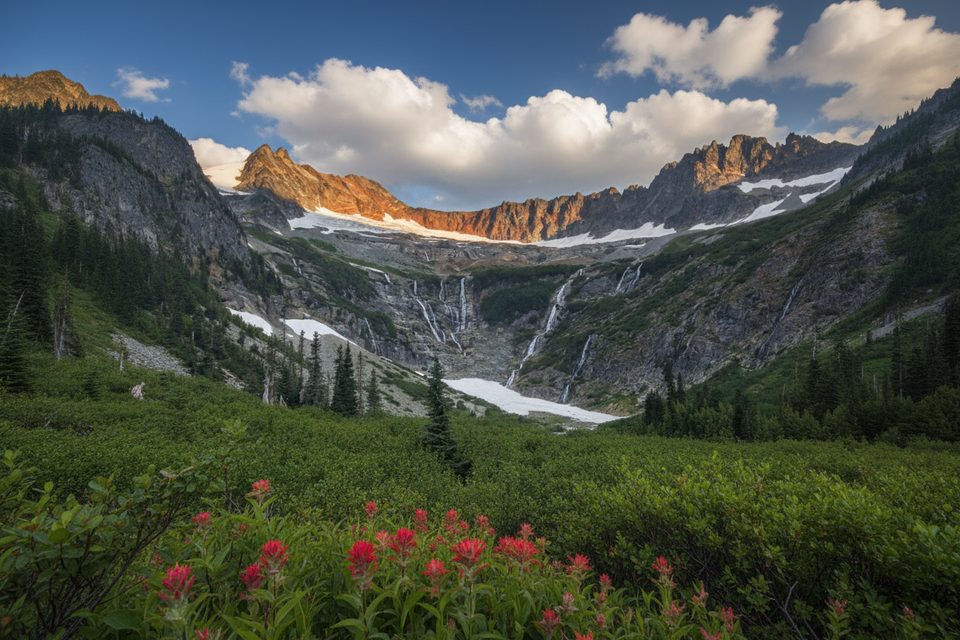
Expect panoramic ridgelines, lingering snow patches early in the season, and in summer a burst of wildflowers along meadows and open slopes. The route is known for wildlife: pikas squeaking from talus, marmots sunning, mountain goats on distant slopes, and bears in the broader area. Give all wildlife space, keep a clean camp if you’re staying overnight, and be bear-aware.
You won’t find amenities at Doubtful Lake itself. Use the toilets at the Cascade Pass trailhead and the simple backcountry toilet near the pass. Water sources aren’t available at the pass or along Sahale Arm, so carry what you need. The trailhead lot is sizable but fills early on weekends and holidays. Cascade River Road includes a long gravel, washboarded stretch with some narrow sections; drive slowly and download maps ahead of time as cell service drops before the park.
This is rugged, glaciated terrain where conditions change quickly. Snow can linger into summer, and the descent to the lake is steeper and rockier than the approach to the pass. Bears are occasionally reported near the trail; stay alert and follow best practices for food storage and wildlife encounters.
Start early to beat crowds at the trailhead and to enjoy cooler temps and calmer air at the lake. Autumn brings standout fall color along the slopes. Check current road and trail conditions before you go—access and snow coverage can shift quickly.
Place · 0.7 mi away
Place · 0.8 mi away
Place · 2.1 mi away
Place · 2.2 mi away
Challenging · 1.3 mi away
Moderate · 1.3 mi away
Challenging · 1.3 mi away
Challenging · 1.3 mi away

Parkwolf Tour Guide
