
Place · 0.3 mi away
Easy
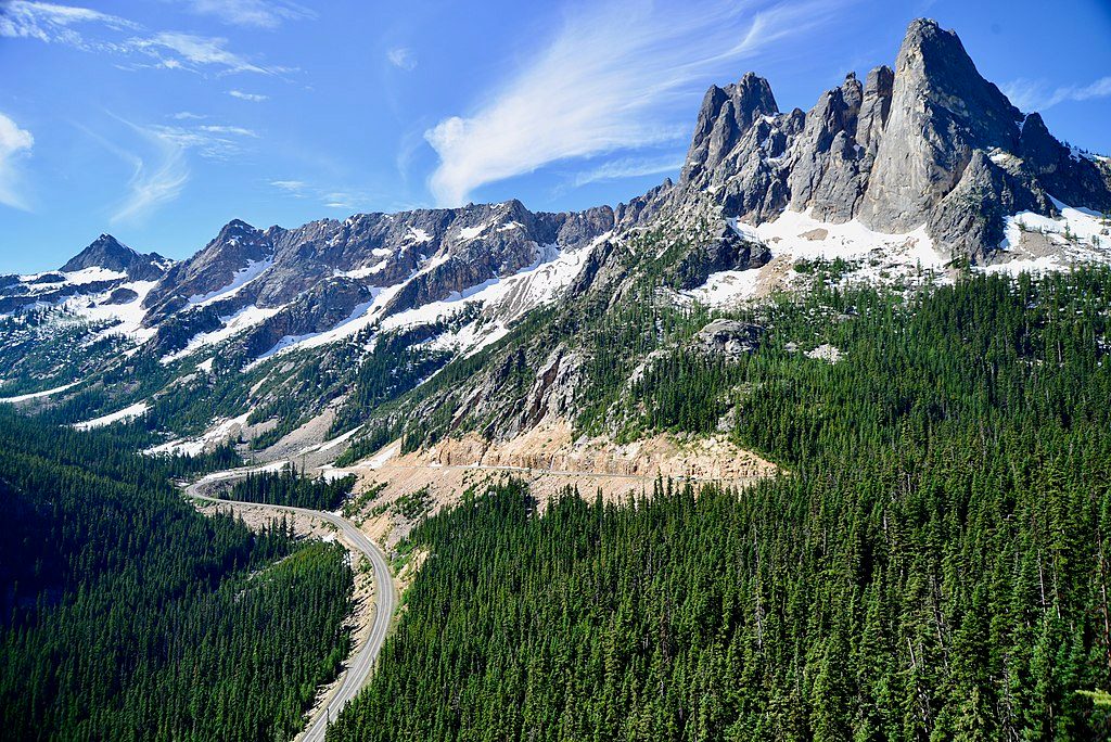
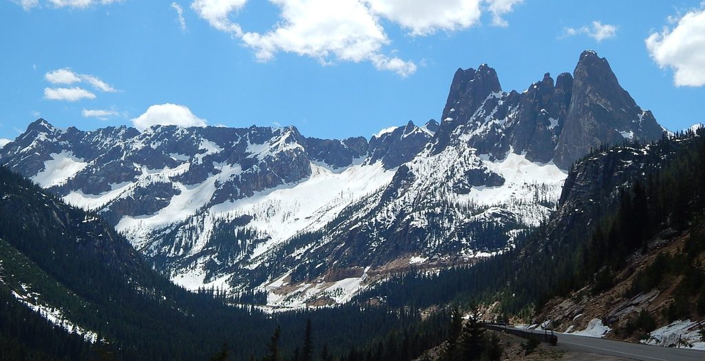
This is a quick-hit viewpoint with heavyweight scenery. In minutes you’re looking straight at Liberty Bell Mountain and the Early Winters Spires with the dramatic hairpins of Highway 20 curling below. It’s more “overlook” than “hike,” and that’s the point—maximum payoff for minimum effort.
Expect roughly 0.25–0.3 miles total on a short paved loop with minimal elevation gain (about 60–100 feet). The high point is around 5,581 feet, so the air can feel crisp even in summer. Plan 10–30 minutes including photo time.
From the parking lot, a paved, level approach of about 400 feet reaches the main viewpoint. The loop continues with some stairs and steeper grades, so wheelchair users and strollers often do the first section as an out-and-back. The site has accessible parking, restrooms, an information station, benches, picnic tables, and interpretive signs.
Clear days are everything here. Sunrise and sunset both work well, lighting up the granite spires and deep valleys. Autumn is a sleeper hit—golden larches dot the high country and make the views pop. Snow can linger into early July; shoulder seasons can be wintry.
A Northwest Forest Pass is required to park. Dogs are allowed on leash. This overlook is popular and highly rated, so expect company on fair-weather weekends. Occasional short-term closures happen for maintenance; fire restrictions and area closures also change with conditions. For snow and access updates, check current park alerts or call the Methow Valley Ranger Station before you go.
Stay behind railings at cliff-top viewpoints and watch footing where the loop gets steeper. Early-season snow and lingering ice are common—don’t underestimate slick patches at this elevation.
Don’t stop at the first platform—continue a bit farther for a higher, more open vantage with fewer trees. At night, the dark skies make this a surprisingly good stargazing pullout when the road is open; time it with meteor showers for a treat.
Craving a real hike after the overlook? Pair this stop with nearby favorites like Rainy Lake or the Maple Pass area for bigger mileage and more larch hunting in fall.
Signed, paved lot at Washington Pass Overlook off SR 20 with accessible spaces and restrooms; Northwest Forest Pass required.
Cliff-edge viewpoints with railings—keep behind barriers and watch footing on steeper/stair sections. Snow and ice can persist into early July. Expect intermittent maintenance closures and seasonal fire restrictions; confirm current conditions with the ranger station before you go.
Place · 0.3 mi away
Place · 3.9 mi away
Place · 4 mi away
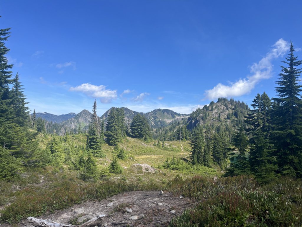
Place · 4.1 mi away
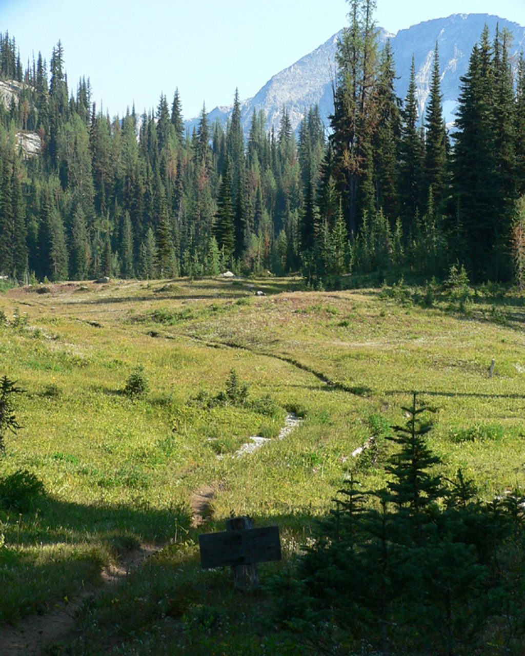
Challenging · 3.5 mi away
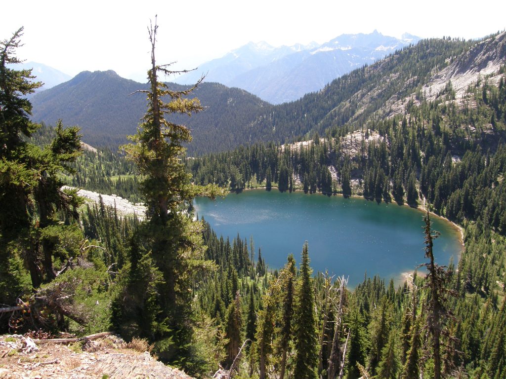
Challenging · 3.5 mi away
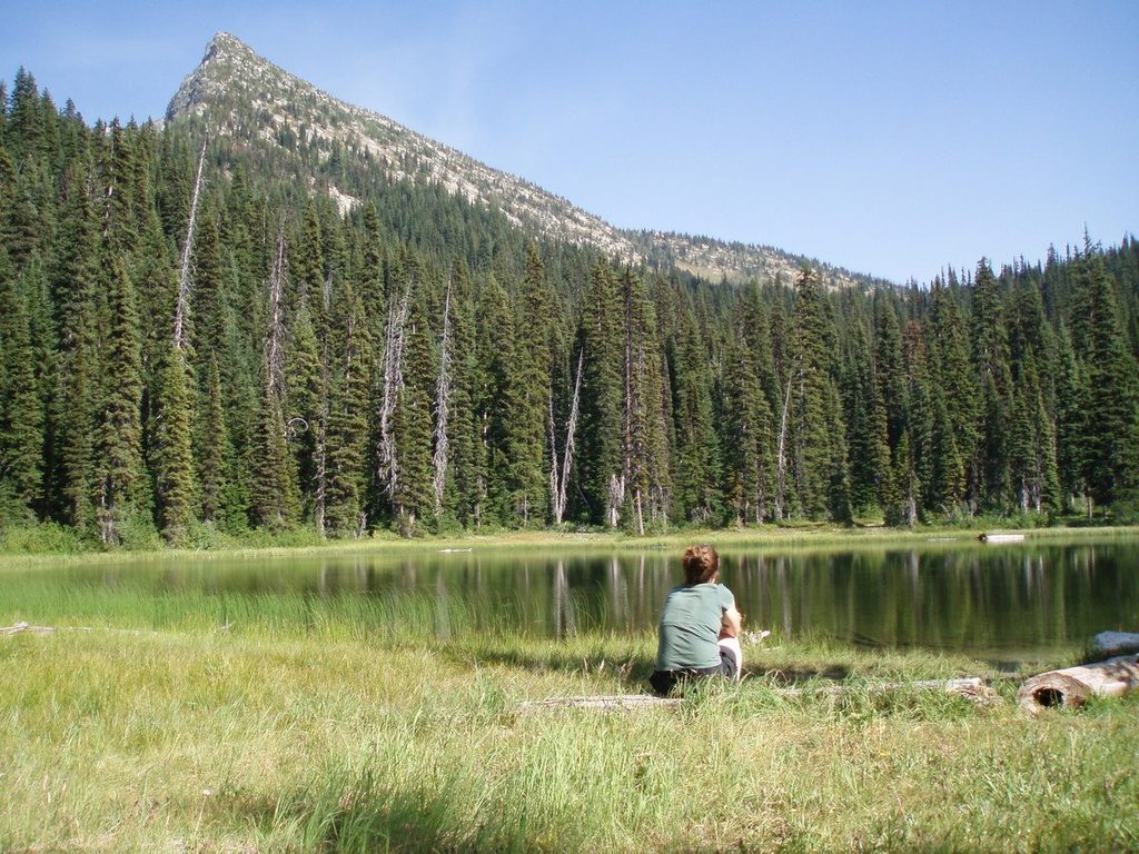
Challenging · 3.5 mi away
Challenging · 3.5 mi away

Parkwolf Tour Guide
