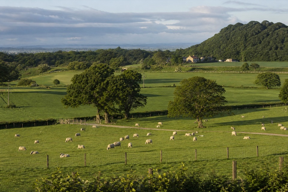
Guisborough Forest and Walkway Visitor Centre in North York Moors National Park

Visitor center · North York Moors National Park

Guisborough Forest and Walkway Visitor Centre

Cafe, play area and sculpture trail beside a flat old railway walkway

Photo: Wikimedia Commons
Type
Visitor center
Nearest trail
Right here
Audio stories
2 nearby
  • Trailhead
  • Restrooms
  • Parking
  • Picnic tables

Hear the audio tour

Guisborough Forest and Walkway

Overview

About Guisborough Forest and Walkway Visitor Centre

Why stop

  • Carvings and play features make a forest walk more engaging
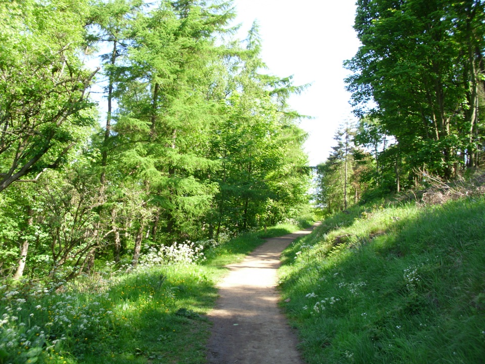
  • The level railway route gives an easy way into the woods

Heads up

  • Several wooded routes involve steep climbs
  • The hub gets busy with families, dogs, cyclists and runners
The Bousdale Beck and Hutton Lowcross routes involve steep sections that take noticeably more effort than the flat old railway walkway, so pick your route to match the energy you have.
Parkwolf’s verdictWorth knowing

Map

Where it is

Loading the North York Moors map
Full map
Visitor centerGuisborough Forest and Walkway Visitor Centre54.52891, -1.09815
Keep this map with you offline in the Parkwolf app

Plan your stop

Before you go

8 active North York Moors alerts

  • ClosureHawnby Bridleway 110 closurePublic Bridleway 25.122/110/1 in Hawnby is closed to pedestrians, cyclists and equestrians because its bridge is unsafe. - The closure is between grid references SE 5309 9073 and SE 5335 9097.Official details
  • ClosureWest Ayton Footpath 1 closurePublic Footpath 1 in West Ayton (Forge Valley) is temporarily closed because its boardwalk is unsafe. - The closure is between SE 9860 8494 and SE 9839 8712.Official details

See all 8 alerts
A park ranger sits on a dash-mounted phone, talking, as Parkwolf’s Tour Guide plays “Army Cutworm Moths: A Grizzly Bear Buffet” on Grand Loop Road below Dunraven Pass in Yellowstone
Parkwolf Tour GuideThe highest, rockiest slopes around here are a summer buffet for grizzly bears.

North York Moors Tour Guide

Your drive to Guisborough Forest and Walkway Visitor Centre, narrated.

Parkwolf is a GPS audio tour guide for North York Moors National Park. As you drive, it chimes in with what’s ahead: hidden gems, upcoming stops, history, geology, and wildlife, right through your car’s speakers.

Recorded for this place

Guisborough Forest and Walkway
0:00 / 0:32
“You're approaching Guisborough Forest and Walkway, where a flat former railway line gives you an easy way into the woods.”

Plays as you drive up to Guisborough Forest and Walkway Visitor Centre in the Parkwolf North York Moors Tour Guide.

More stories near here in the app

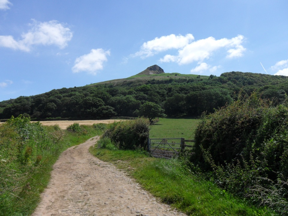
  • Roseberry Topping
  • The Rock Beside Roseberry
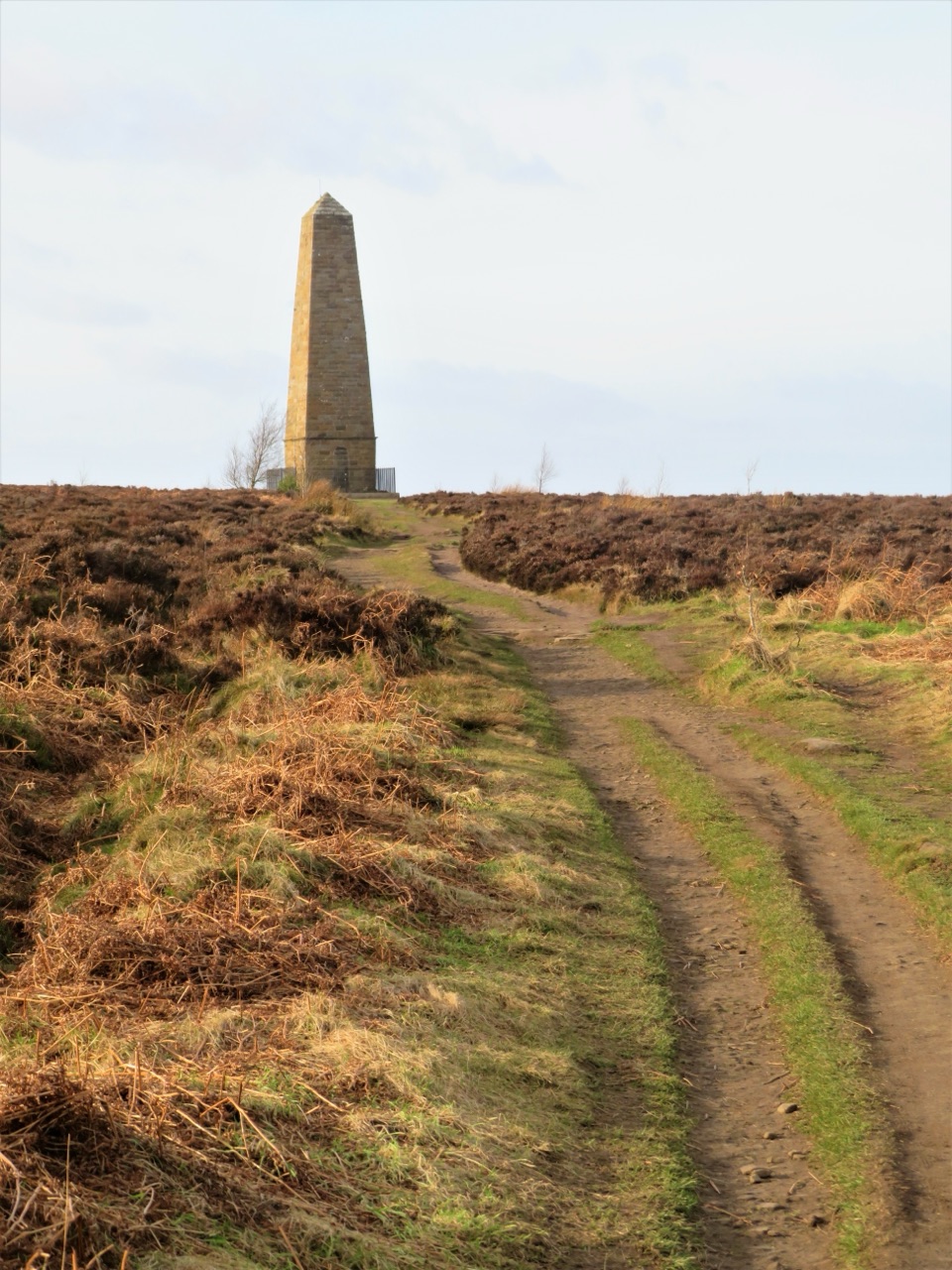
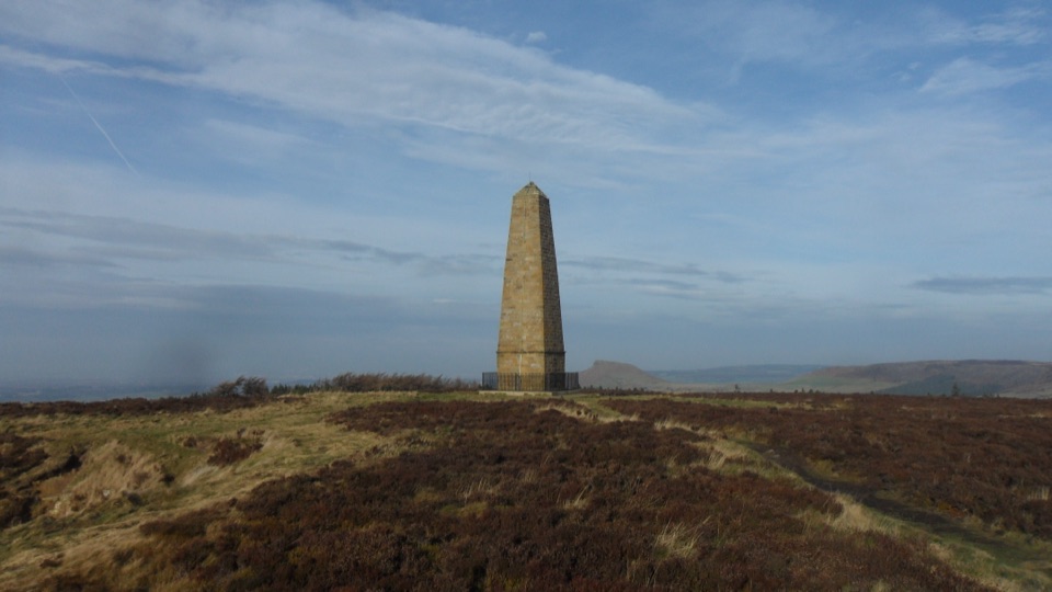
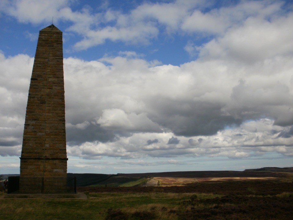
  • Gribdale Gate and Captain Cook's Monument
  • The Tunnel for Livestock
  • 298 audio storiesacross North York Moors’s roads, triggered by GPS as you drive
  • Wildlife heatmapsfor Eurasian Otter, Red Deer, Grey Seal, and 13 more
  • Works offlinemaps, 126 trails, 65 places, and audio download before you lose signal
  • CarPlay readysimple controls built for the drive
★★★★★
“Fantastic app with many points of information… It’s great to just turn on while you’re driving and it gives you an audio tour of the national Park. We love it!!!!”
JMJamesApp Store review
Download Parkwolf on the App StoreGet Parkwolf on Google Play

4.7 from 8,600+ ratings

Guide

More about Guisborough Forest and Walkway Visitor Centre

The gateway to forest and moorsSitting beside Pinchinthorpe Car Park, this visitor centre is the starting point for…

Sitting beside Pinchinthorpe Car Park, this visitor centre is the starting point for Guisborough Forest and the wider moors. Pick up local guide maps here before choosing between walking routes, cycle trails and bridleways.

What you'll find on siteCafe, toilets and baby change
  • Cafe, toilets and baby change
  • Picnic areas and a play area
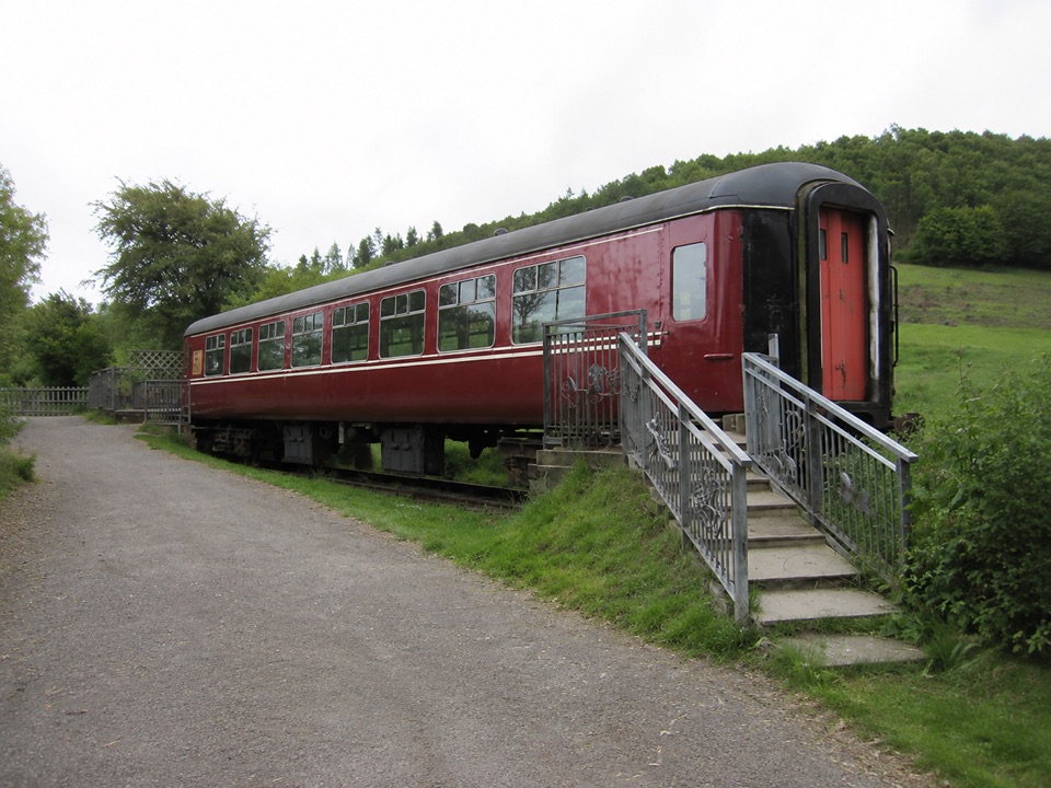
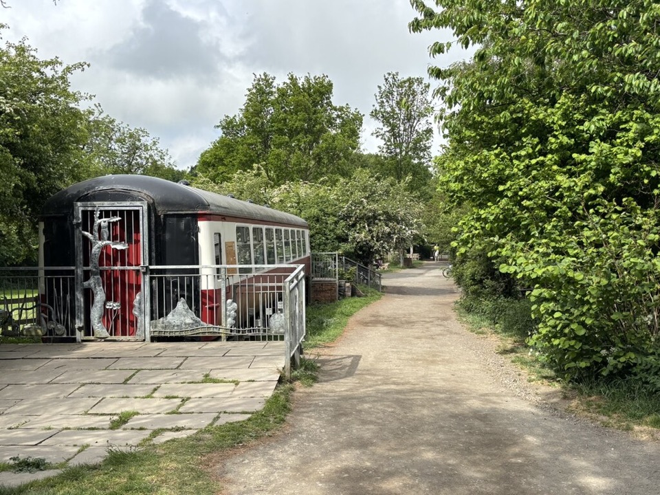
  • Chainsaw-carving Sculpture Trail and a preserved railway carriage
  • Pond dipping, trim trail and orienteering
  • Bike wash-off and an outdoor education space
  • Dogs allowed
From rail to reserveThe walkway follows a former railway line, and on-site interpretation explains the shift from…

The walkway follows a former railway line, and on-site interpretation explains the shift from rail to reserve. The old railway route is flat and level, which is why this is such a busy hub for families, dog walkers, cyclists and runners. Head out on the trails and you will find quieter sections further from the centre.

Choosing a routeFor a calmer start, aim for earlier on a weekday.

For a calmer start, aim for earlier on a weekday.

  • Harrison Close: 1.2km (0.75mi), about 30 minutes on surfaced paths
  • Bousdale Beck: opens with a steep beech-wood ascent
  • Hutton Lowcross: roughly a 2.5-hour circular with a moderately steep climb

Wildlife

Wildlife in North York Moors

All North York Moors wildlife maps

Sighting maps show where each species has been reported across North York Moors. Wildlife moves, so no sighting is guaranteed.

Keep exploring

Near Guisborough Forest and Walkway Visitor Centre

See it all on the map

Trails nearby

More stops nearby

Parkwolf’s North York Moors ranking

Top sights in North York Moors

All 65 places
  1. 1North Yorkshire Moors RailwaySight
  2. 2Roseberry ToppingSight
  3. 3Rievaulx AbbeySight
  4. 4Robin Hood's Bay and BeachSight
  5. 5Hole of HorcumSight
  6. 6Goathland StationSight

Take Parkwolf to North York Moors.

The audio tour guide for the drive, plus offline maps, trails, and wildlife heatmaps for when the signal drops.

4.7 from 8,600+ ratings

Download Parkwolf on the App StoreGet Parkwolf on Google Play