Parking
Start and finish in Guisborough town centre on Church Street, the documented start of the route. Arrange public town-centre parking before setting off and walk to the start; do not use private or short-stay lots without checking their terms.
North York Moors National Park, EN
A strenuous moorland loop to Captain Cook's Monument
Overview
This is a strenuous, high-level moorland loop that starts and finishes in Guisborough. Leave Church Street and climb through woodland and open moor to Commondale, then cross Great Fryup Dale, Glaisdale and Farndale Moors. The return runs through Westerdale and Baysdale, crosses Kildale and the high ground around Captain Cook's Monument, and continues over Great Ayton Moor and past Belmont Farm before dropping back to Guisborough.
Expect roughly 38.6 miles and about 1,650 metres of climbing, with heather moor, rough paths, bridleways, farm tracks, lanes, gates and stream crossings. The route strings together many rights of way and rural turns rather than following one continuous waymarked path, so carry a current map or GPS. Plan it as a very long challenge or split it over multiple days.
Dogs can use the public rights of way, but most moorland open-access land is not dog-accessible off the right of way. Keep dogs under control near livestock and on a lead shorter than 2 metres on moorland from 1 March to 31 July. Exposed weather, rough or muddy ground, road sections and remote stretches make this a demanding outing.
Map & elevation
Plan your hike

The highest, rockiest slopes around here are a summer buffet for grizzly bears.
North York Moors Tour Guide
Parkwolf is a GPS audio tour guide for North York Moors National Park. As you drive, it chimes in with what’s ahead: hidden gems, upcoming stops, history, geology, and wildlife, right through your car’s speakers.
Recorded for this area
The Tunnel for Livestock“One of Guisborough Forest's most surprising relics is a little tunnel under the old railway. It wasn't made for people: it let smaller livestock pass toward Lowcross Farm without crossing the tracks.”
Plays on the road 1.6 km from the trailhead in the Parkwolf North York Moors Tour Guide.
More stories near here in the app
“Fantastic app with many points of information… It’s great to just turn on while you’re driving and it gives you an audio tour of the national Park. We love it!!!!”


Wildlife
 15 sightingsEurasian OtterMost seen around 7 PMSighting map
 10 sightingsRed DeerMost seen around 7 AMSighting map
 79 sightingsGrey SealMost seen around noonSighting map
 26 sightingsWestern Barn OwlMost seen around 7 PMSighting map
 33 sightingsEuropean BadgerMost seen around 7 PMSighting map
 10 sightingsMute SwanMost seen around noonSighting map
Sighting maps show where each species has been reported across North York Moors. Wildlife moves, so no sighting is guaranteed.
Keep exploring
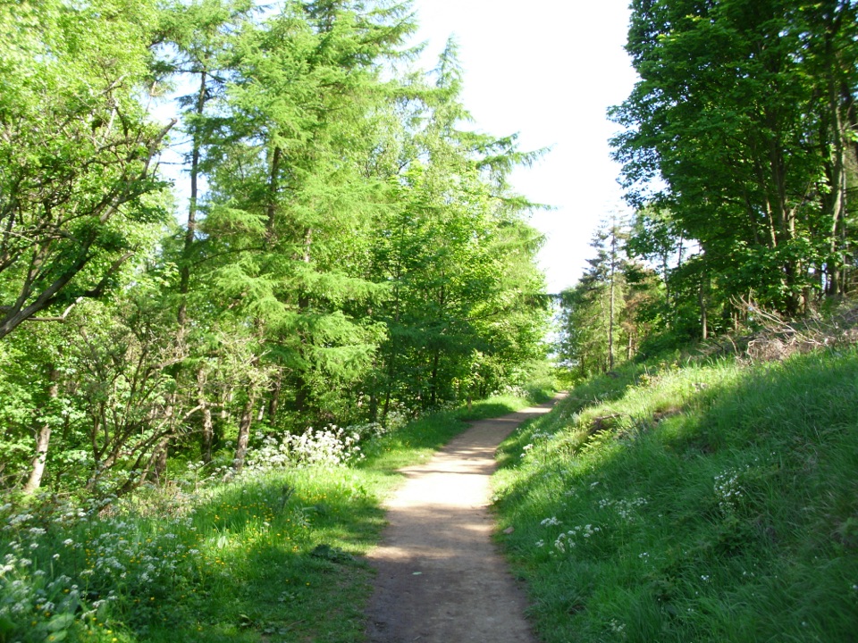 ModerateHutton Lowcross Trail6 km · 2.5 hr · 2.9 km awayWooded climbs to the Hanging Stone view, then quiet Blue Lake
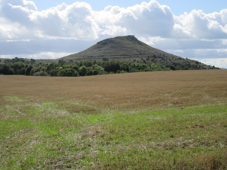 ModerateBousdale Beck Trail4.4 km · 1.5 hr · 2.9 km awaySteep beech climb, then easy forest tracks with views over Guisborough
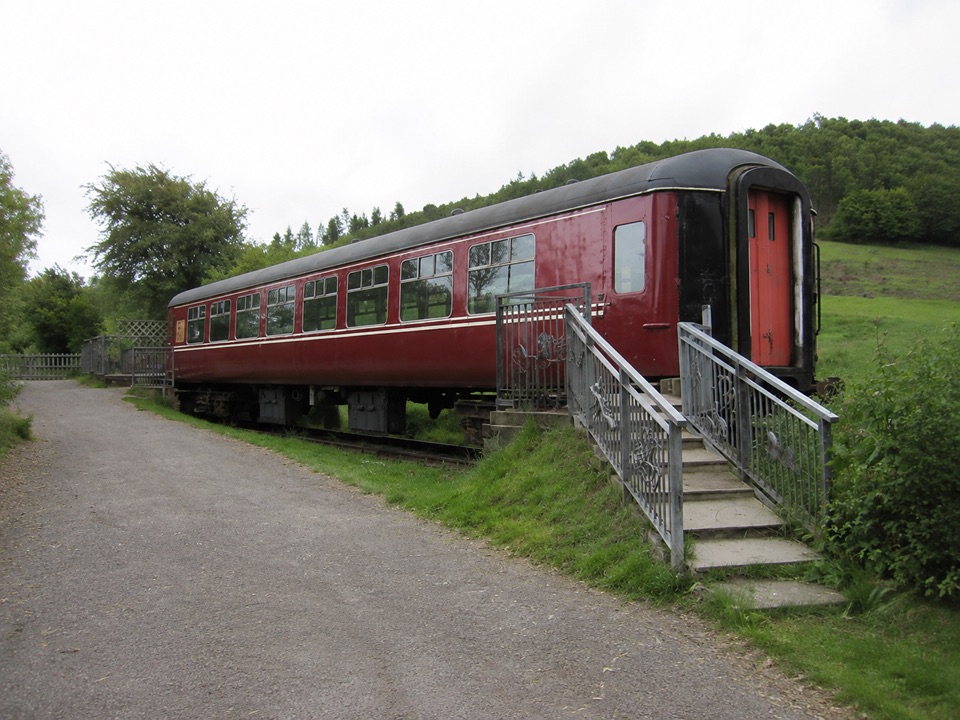 EasyHarrison Close Trail1.2 km · 30 min · 3.1 km awayHalf-hour heritage loop past a railway carriage, kibble and quiet ponds
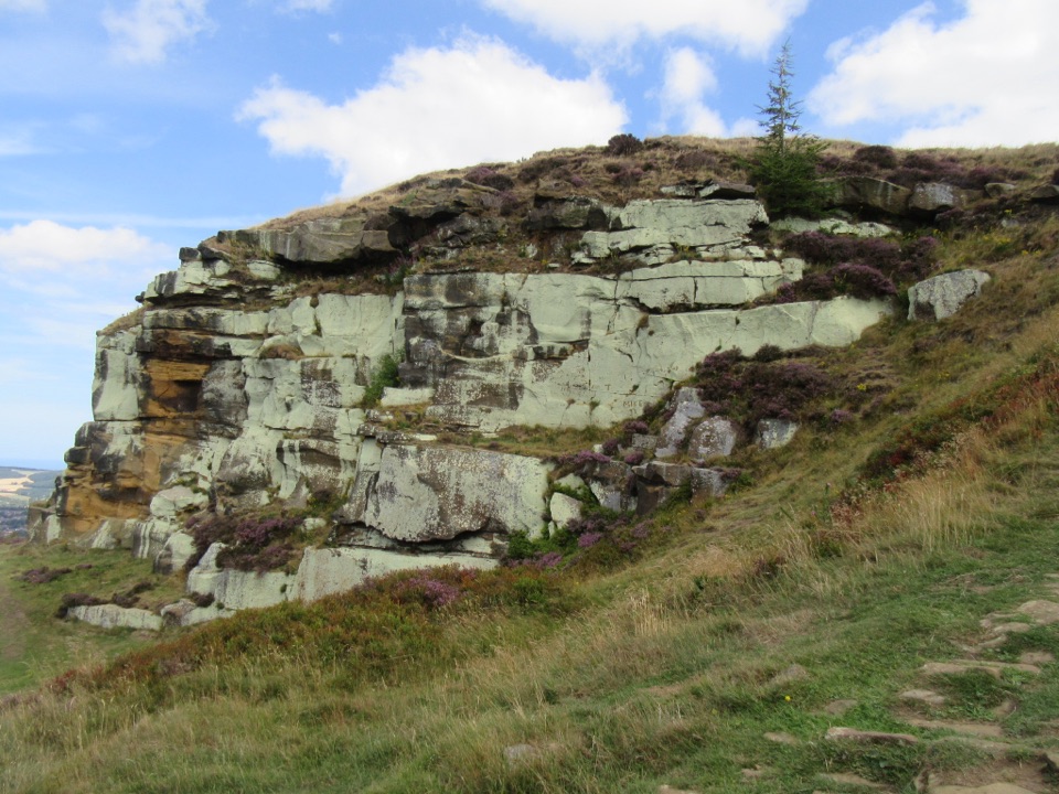 ModerateHighcliff Nab and Guisborough Moor Circular12.9 km · 3.5 hr · 3.2 km awayForest tracks and heather climb to a sandstone crag above Guisborough
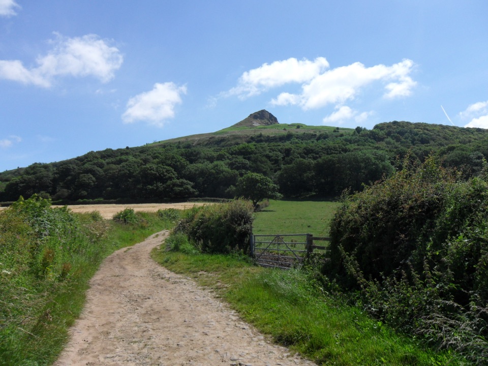 ModerateRoseberry Topping Woodland Wildlife Walk5.3 km · 1.5 hr · 5.5 km awayBluebell woods beneath a landmark hill, on a muddy 3.3-mile loop
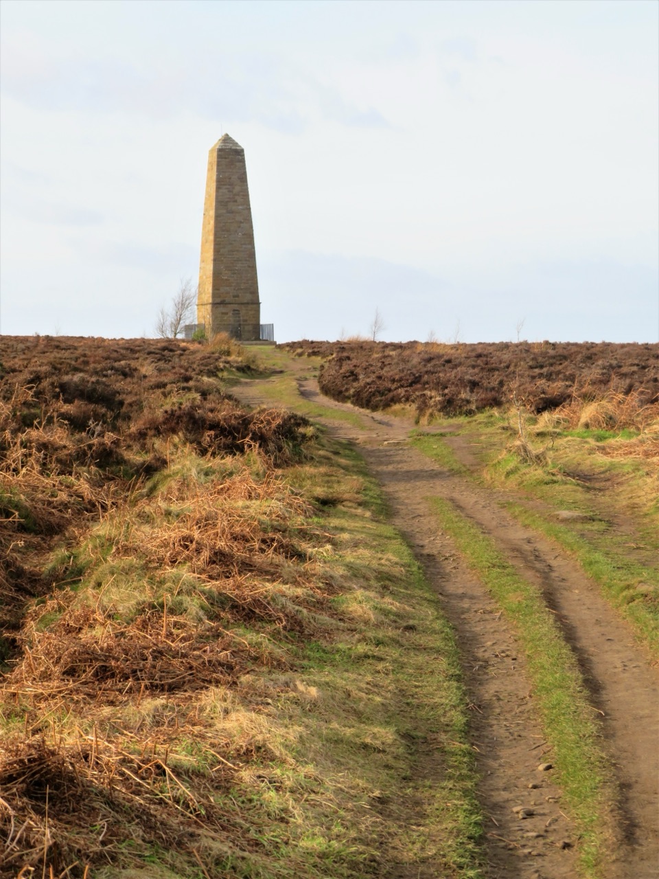
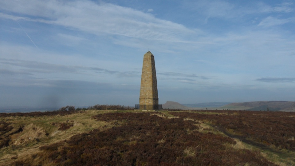 ModerateCaptain Cook's Monument Walk2 km · 1 hr · 5.5 km awayShort uphill climb to an 1827 obelisk with wide Tees Valley views
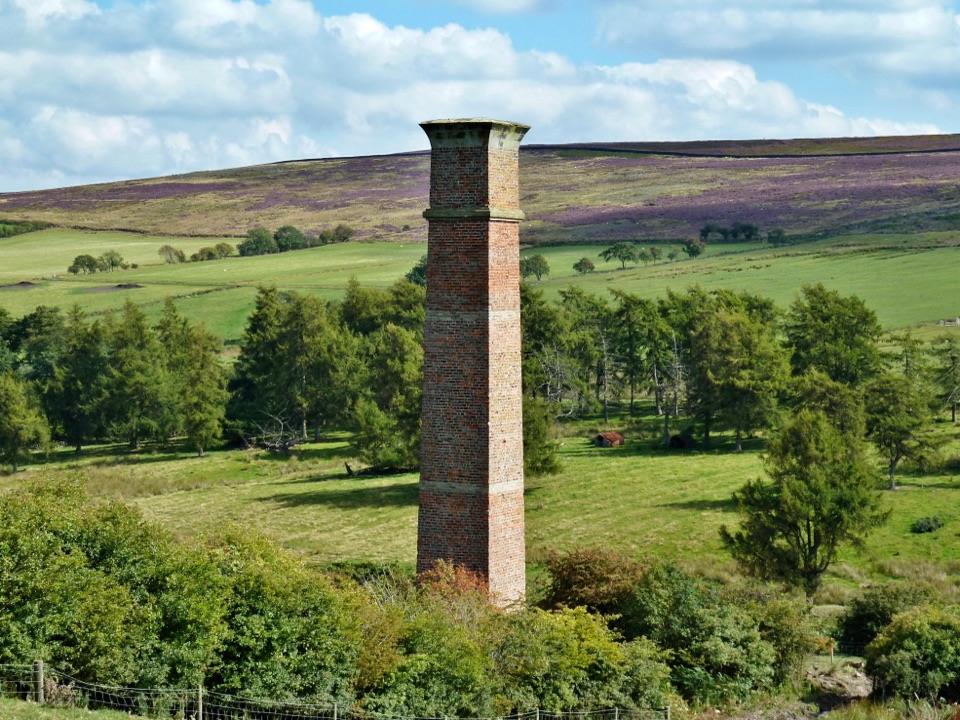 ModerateWarren Moor Mine from Kildale5.3 km · 1.5 hr · 6.6 km awayQuiet lanes and a steep grass descent to a lost ironstone mine
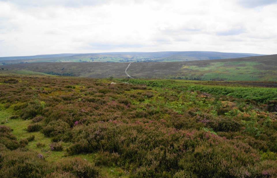 ModerateKildale Moor Walk14 km · 4.3 hr · 7.1 km awayRough, boggy moorland loop with big views and almost no waymarkers
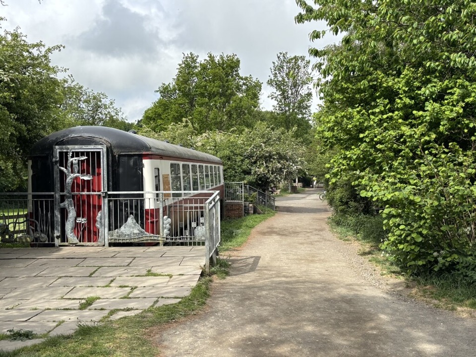 Visitor center · 3.1 km awayGuisborough Forest and Walkway Visitor CentreCafe, play area and sculpture trail beside a flat old railway walkway
 Sight · 5 km awayRoseberry ToppingSteep half-hour climb to a jagged summit with 360-degree Cleveland views
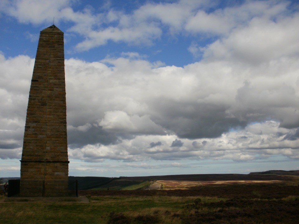 Sight · 6.4 km awayCaptain Cook's MonumentAn 18-metre sandstone obelisk on open moorland, earned on foot
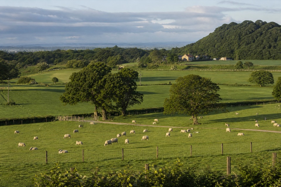 Campground · 7.7 km awayKildale Camping Barn and CampsiteQuiet working-farm pitches a field from the Cleveland Way
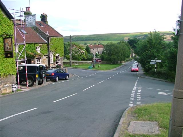 Sight · 11.8 km awayDanbyStone estate cottages where the Esk Valley meets open moorland
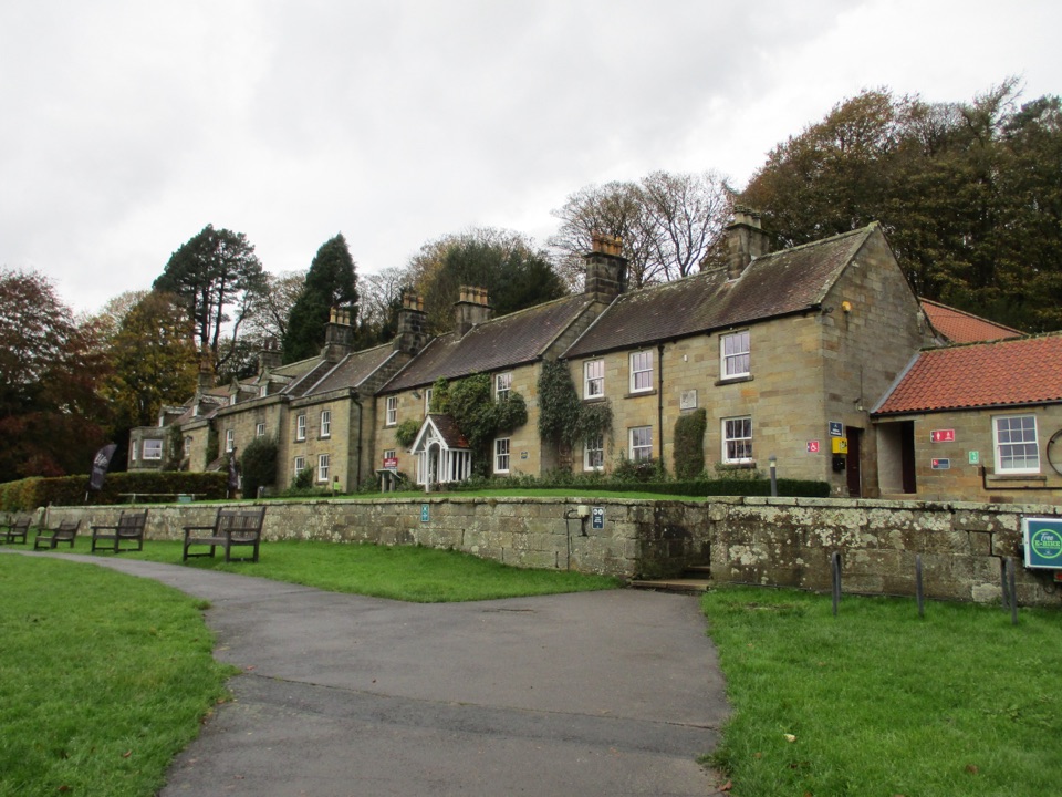 Visitor center · 12.6 km awayDanby Lodge National Park CentreDanby Lodge: riverside grounds, adventure play and ironstone heritage
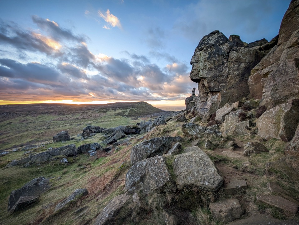 Sight · 13.7 km awayThe WainstonesSandstone pillars up a sharp climb from Clay Bank car park
 Sight · 13.8 km awayDanby BeaconFlame-shaped steel beacon on high moor, with sweeping coastal views
Parkwolf’s North York Moors ranking

The audio tour guide for the drive, plus offline maps, trails, and wildlife heatmaps for when the signal drops.





