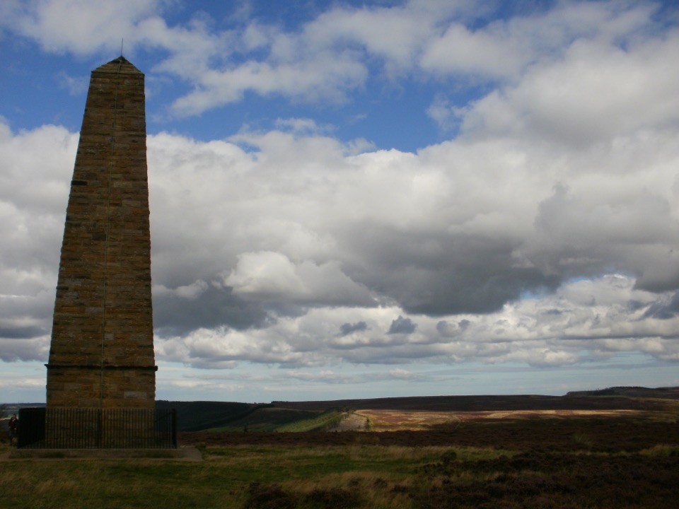
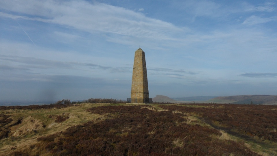
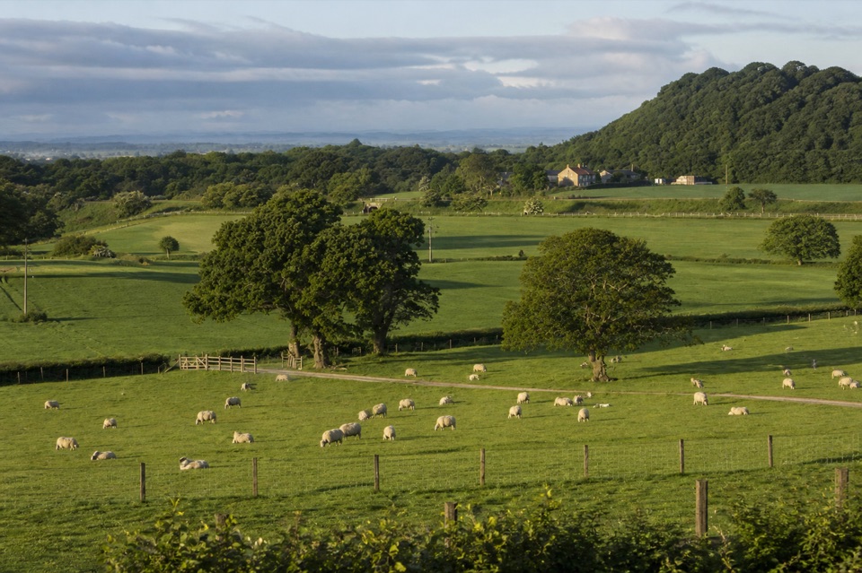
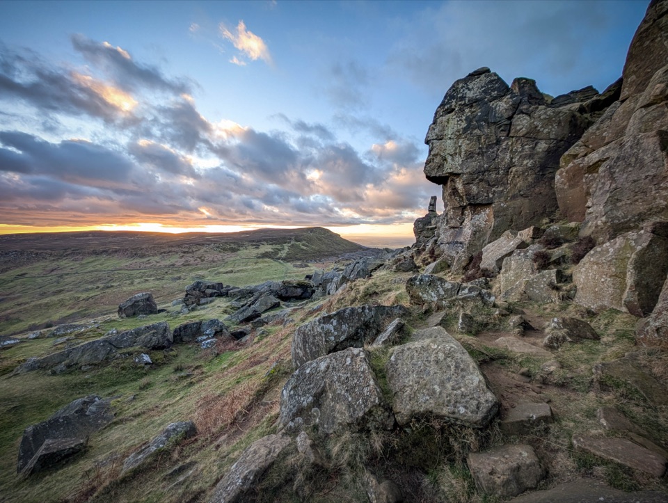
Low, angled light early or late in the day gives the best texture on the weathered sandstone and across the heather.
Late summer brings heather colour on the moor; winter gives stark, clear air but shorter daylight and boggier ground.
The obelisk photographs well both close up against sky and small in the distance across the moor, so shoot wide as well as tight.
8 active North York Moors alerts
ClosureHawnby Bridleway 110 closurePublic Bridleway 25.122/110/1 in Hawnby is closed to pedestrians, cyclists and equestrians because its bridge is unsafe. - The closure is between grid references SE 5309 9073 and SE 5335 9097.Official details
ClosureWest Ayton Footpath 1 closurePublic Footpath 1 in West Ayton (Forge Valley) is temporarily closed because its boardwalk is unsafe. - The closure is between SE 9860 8494 and SE 9839 8712.Official details
Parkwolf Tour GuideThe highest, rockiest slopes around here are a summer buffet for grizzly bears.
North York Moors Tour Guide
Your drive to Captain Cook's Monument, narrated.
Parkwolf is a GPS audio tour guide for North York Moors National Park. As you drive, it chimes in with what’s ahead: hidden gems, upcoming stops, history, geology, and wildlife, right through your car’s speakers.
Recorded for this place
Gribdale Gate and Captain Cook's Monument
0:00 / 0:23
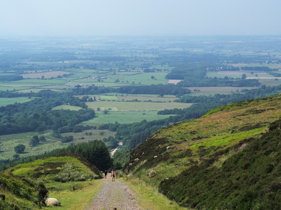
“You're approaching Gribdale Gate, the start of the walk to Captain Cook's Monument.”
Plays as you drive up to Captain Cook's Monument in the Parkwolf North York Moors Tour Guide.
More stories near here in the app
Kildale Station and Warren Moor Mine
Easby Moor's Other Memorial
The Rock Beside Roseberry
The Incline That Pulled Itself
298 audio storiesacross North York Moors’s roads, triggered by GPS as you drive
Wildlife heatmapsfor Eurasian Otter, Red Deer, Grey Seal, and 13 more
Works offlinemaps, 126 trails, 65 places, and audio download before you lose signal
CarPlay readysimple controls built for the drive
★★★★★
“Fantastic app with many points of information… It’s great to just turn on while you’re driving and it gives you an audio tour of the national Park. We love it!!!!”
JMJamesApp Store review
★★★★★4.7 from 8,600+ ratings
Guide
More about Captain Cook's Monument
The historyBuilt in 1827 by Robert Campion, a Whitby banker, as a memorial to James Cook, who grew up…
Built in 1827 by Robert Campion, a Whitby banker, as a memorial to James Cook, who grew up nearby.
Campion laid the foundation stone on 12 July 1827 and the monument was completed on 27 October 1827, Cook's birthday.
A later restoration repointed the stonework, blocked the former doorway, repaired the cap and added the plaque, the fencing and a lightning conductor.
Note the distinction: this is the moorland obelisk, not the separate Captain Cook Birthplace Monument down in the village.
What you see and doClimb to the obelisk, read the plaque, and walk the surrounding moorland tops.
Climb to the obelisk, read the plaque, and walk the surrounding moorland tops.
The Cleveland Way runs past here, so you can extend in either direction along the escarpment instead of turning straight back.
Guideposts help at junctions, and there are benches near the approach if you want a breather.
How to arriveGribdale Gate is the practical starting point by car, with a free parking area and free…
Gribdale Gate is the practical starting point by car, with a free parking area and free street-side parking, plus a picnic site.
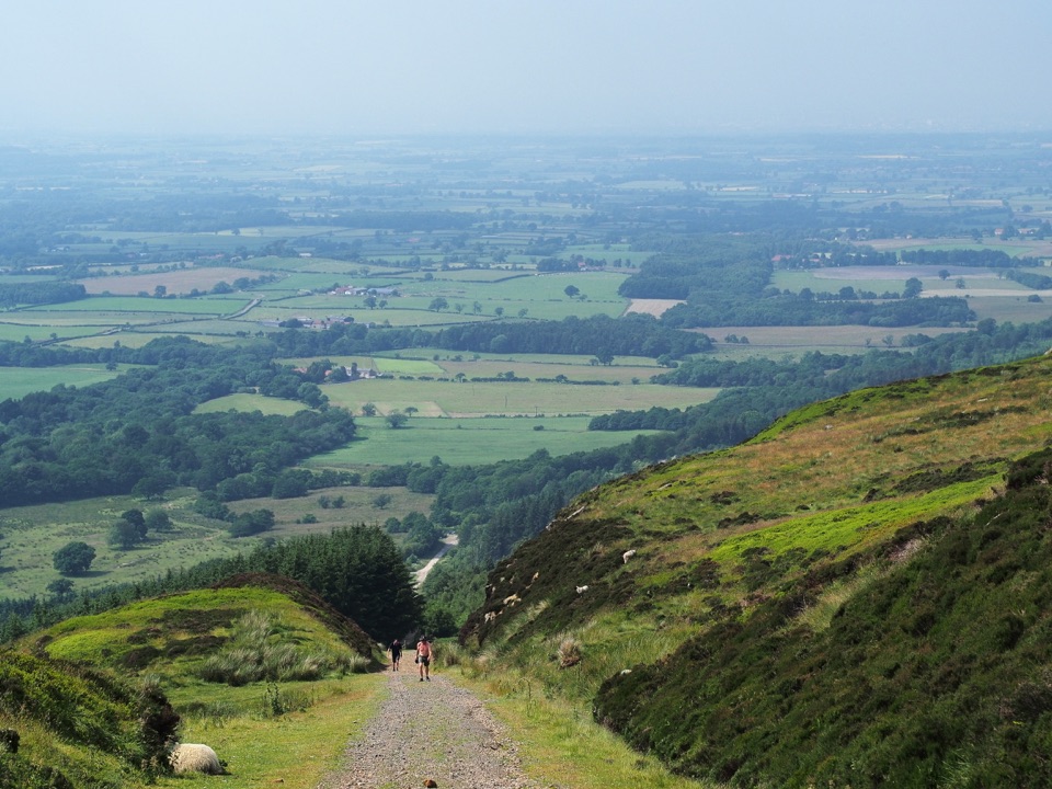
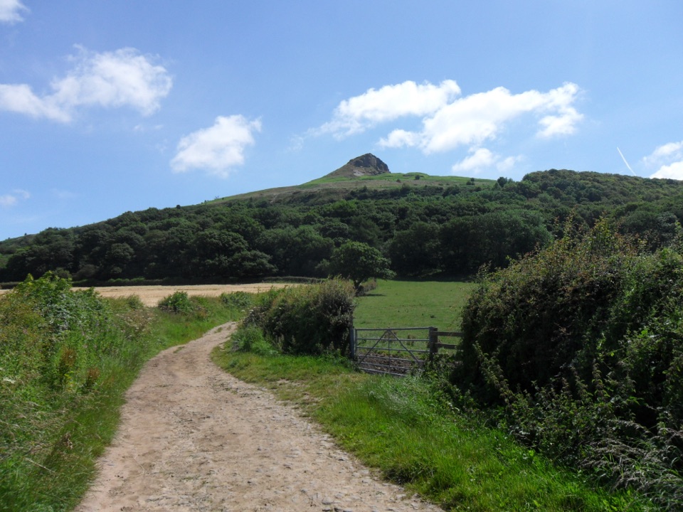
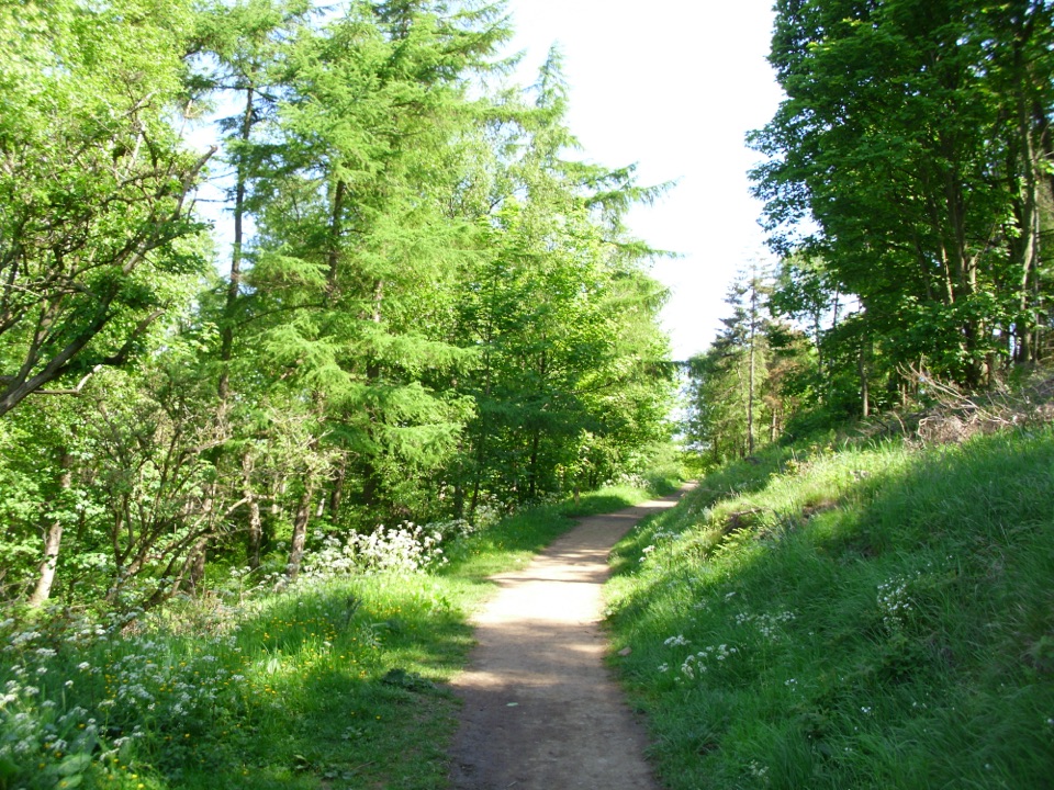
On foot from Great Ayton, you can start at the village green and climb through woods and farmland to the monument.
A short approach is roughly 1.3 miles with about 337 feet of climb, typically half an hour to an hour of walking. Treat that as an approximate estimate for a short approach only, since routes vary.
For a bigger day, a 7.2-mile loop from Great Ayton links the monument with the Cleveland Way and Roseberry Topping.
Practical notesNo facilities at the monument.
No facilities at the monument. Public toilets are in Great Ayton, and the picnic site is at the Gribdale Gate starting point. Do not count on water, food or a visitor centre anywhere on the walk.
Paths can be uneven, muddy or wet, with steps and stiles on some routes. Check that your chosen route suits everyone in your group before setting out.
The site is exposed open moorland, so wind and driving rain hit hard even when the valley feels calm.
What to bringWaterproof boots with grip, and a windproof layer whatever the season.
Waterproof boots with grip, and a windproof layer whatever the season.
Water and snacks, since there is nothing to buy on the hill.
A map or offline route, plus a charged phone, as the moor top can feel featureless in low cloud.
Honest drawbacksThere is nothing to enter or explore inside the monument; the doorway is blocked.
There is nothing to enter or explore inside the monument; the doorway is blocked.
Every arrival involves a climb, and the ground condition can make short distances feel longer.
In mist you may reach the top and see very little, which is a real risk on exposed moorland.
Why stopIt is a hollow pyramid of local sandstone, 18 metres (60 feet) high, finished with a…
It is a hollow pyramid of local sandstone, 18 metres (60 feet) high, finished with a pyramid-shaped benben stone cap.
The reward is the walk and the open moorland setting rather than anything to look round at the top, so treat it as a destination for a hike, not a quick sightseeing tick.