Parking
Start at Great Ayton village green. Roadside parking is available in Great Ayton; a car park at Gribdale lies on the route between the monument and Roseberry Topping but is not the official start.

#3 of 126 trails in North York Moors
North York Moors National Park, EN
Two summits, one 7.2-mile loop: stone steps, open moor, 360-degree views
Overview
Map & elevation
Plan your hike

The highest, rockiest slopes around here are a summer buffet for grizzly bears.
North York Moors Tour Guide
Parkwolf is a GPS audio tour guide for North York Moors National Park. As you drive, it chimes in with what’s ahead: hidden gems, upcoming stops, history, geology, and wildlife, right through your car’s speakers.
Recorded for this area
Roseberry Topping“You're coming up on Roseberry Topping, the jagged cone that stands alone above the fields near Newton under Roseberry.”
Plays on the road 2.3 km from the trailhead in the Parkwolf North York Moors Tour Guide.
More stories near here in the app
“Fantastic app with many points of information… It’s great to just turn on while you’re driving and it gives you an audio tour of the national Park. We love it!!!!”


Trail guide
This is a loop of 7.2 miles (11.52 km) in total, not a one-way distance, starting and finishing at Great Ayton village green (grid reference NZ562106). Allow 3 to 4 hours; 3.5 hours is a fair working estimate for steady walkers who stop for the views.
The appeal is the contrast: village streets, farmland and field paths, sheltered woodland, then exposed moor and two clear high points.
Rate this challenging, in the moderate to hard band. There are several steep climbs, engineered stone steps, uneven and rocky footpaths, muddy stretches, and stiles to cross. Two separate summit ascents in one circuit is the part people underestimate; the pull up to Roseberry Topping comes late, after the monument climb has already taken the sharpness out of your legs. Boots with grip and ankle support make more difference here than speed.
This route is not suitable for wheelchairs or pushchairs.
A good part of the middle section crosses open moorland with no shelter, so wind and low cloud are felt fully. Visibility matters for both navigation and the payoff at the top, and junctions on the moor need attention rather than assumption. Carry a map or offline route and check the forecast before committing. Note also a short road and lane section around Aireyholme Lane, where you should expect occasional vehicles.
Fill water and use the facilities in the village, since there is nothing on the moor. Other published versions of this walk range from roughly 6.5 to 7.6 miles depending on where they cut in and out; the figure above is the full managed circuit from the village green, so plan your time on that.
Wildlife
 15 sightingsEurasian OtterMost seen around 7 PMSighting map
 10 sightingsRed DeerMost seen around 7 AMSighting map
 79 sightingsGrey SealMost seen around noonSighting map
 26 sightingsWestern Barn OwlMost seen around 7 PMSighting map
 33 sightingsEuropean BadgerMost seen around 7 PMSighting map
 10 sightingsMute SwanMost seen around noonSighting map
Sighting maps show where each species has been reported across North York Moors. Wildlife moves, so no sighting is guaranteed.
Keep exploring
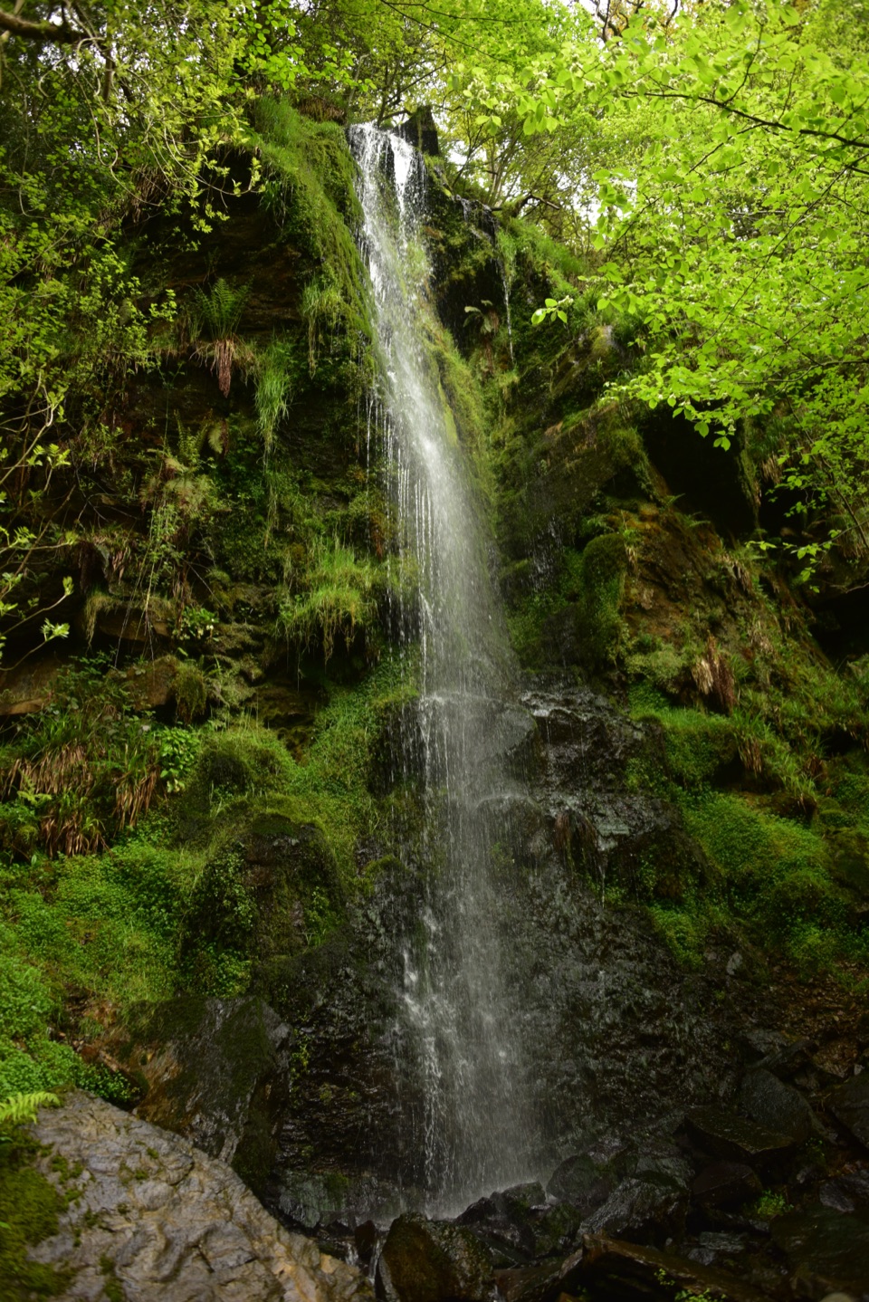
 ModerateRoseberry Topping Woodland Wildlife Walk5.3 km · 1.5 hr · 2.3 km awayBluebell woods beneath a landmark hill, on a muddy 3.3-mile loop
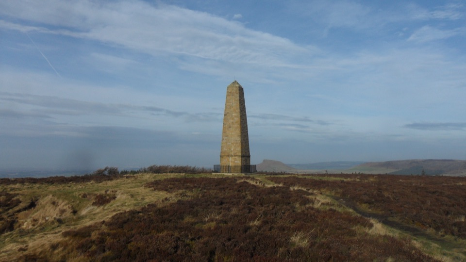 ModerateCaptain Cook's Monument Walk2 km · 1 hr · 2.9 km awayShort uphill climb to an 1827 obelisk with wide Tees Valley views
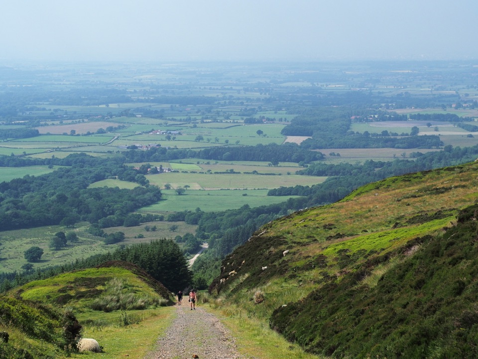 ModerateIngleby Incline Walk15 km · 4 hr · 4.3 km awayClimb a 1-in-5 ironstone incline to wide Cleveland plain views
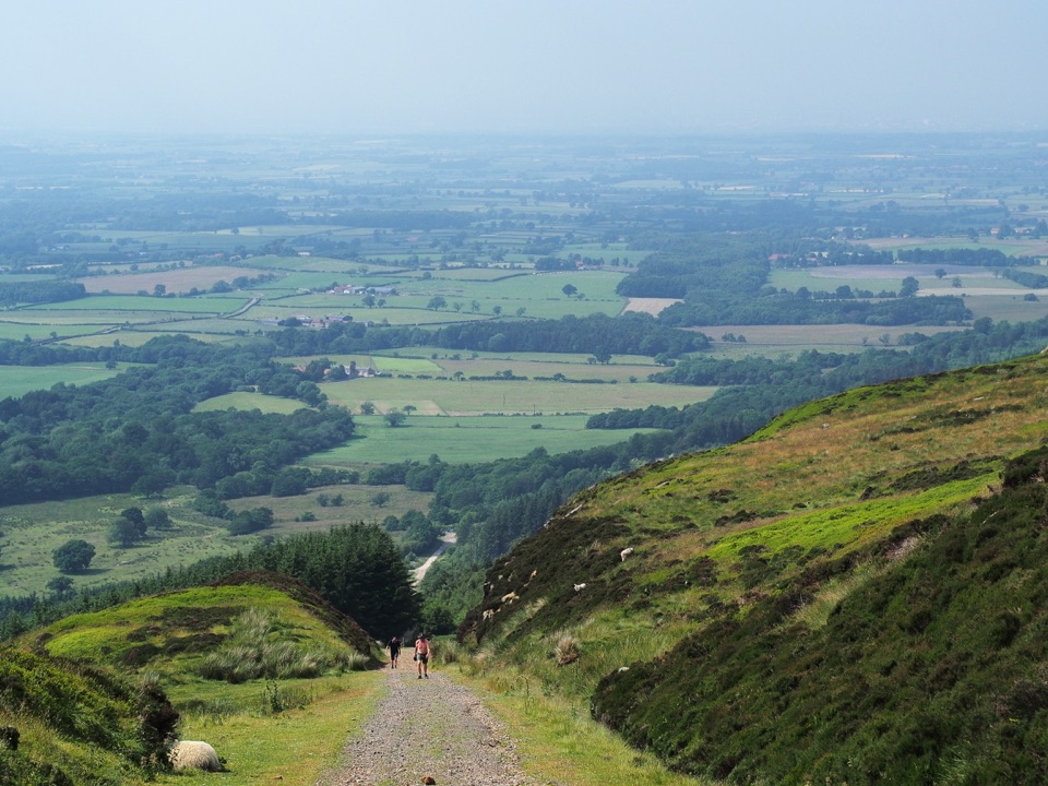 ChallengingMiles without Stiles (For some) - Ingleby Incline11.4 km · 3.8 hr · 4.3 km awayA mile of 1:5 Victorian railway incline, climbed on foot from Battersby
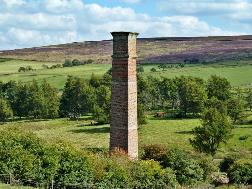 ModerateWarren Moor Mine from Kildale5.3 km · 1.5 hr · 4.3 km awayQuiet lanes and a steep grass descent to a lost ironstone mine
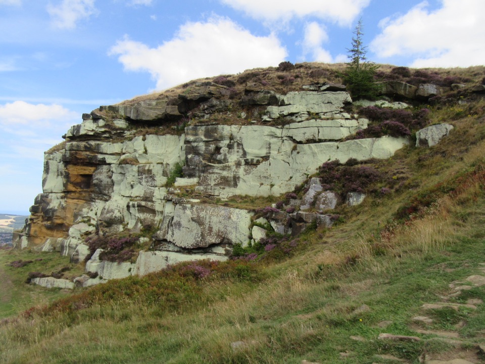 ModerateHighcliff Nab and Guisborough Moor Circular12.9 km · 3.5 hr · 5 km awayForest tracks and heather climb to a sandstone crag above Guisborough
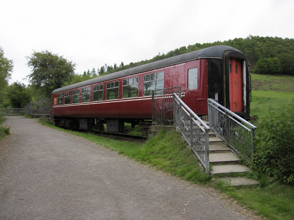 EasyHarrison Close Trail1.2 km · 30 min · 5 km awayHalf-hour heritage loop past a railway carriage, kibble and quiet ponds
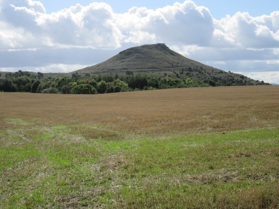 ModerateBousdale Beck Trail4.4 km · 1.5 hr · 5.1 km awaySteep beech climb, then easy forest tracks with views over Guisborough
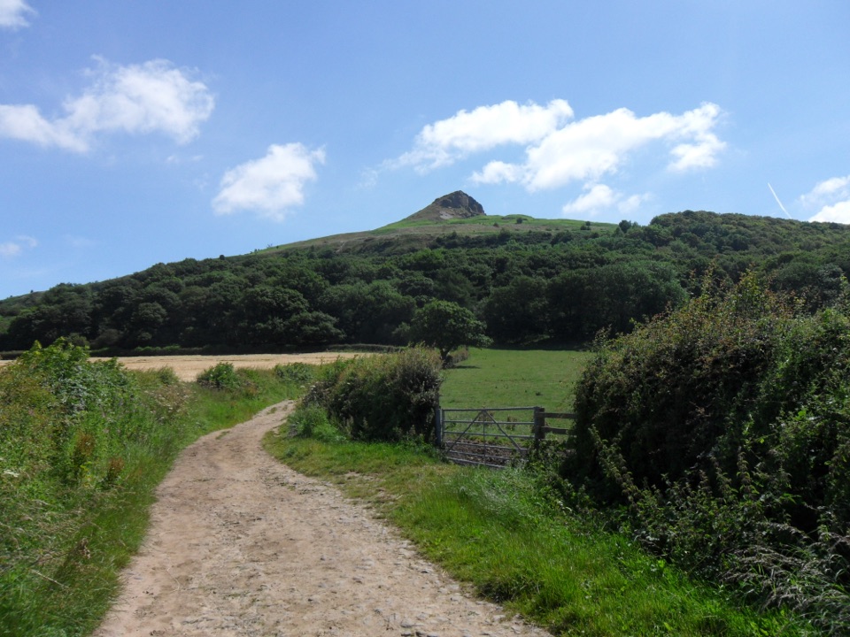
 Sight · 2.5 km awayRoseberry ToppingSteep half-hour climb to a jagged summit with 360-degree Cleveland views
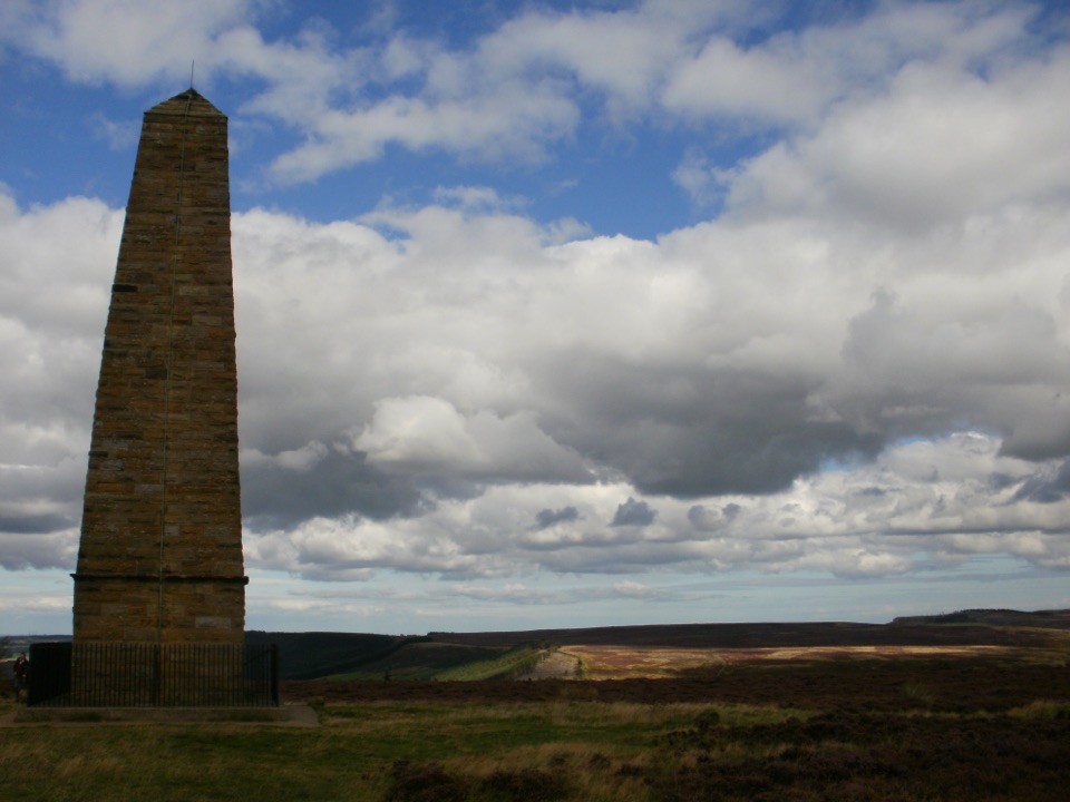 Sight · 2.8 km awayCaptain Cook's MonumentAn 18-metre sandstone obelisk on open moorland, earned on foot
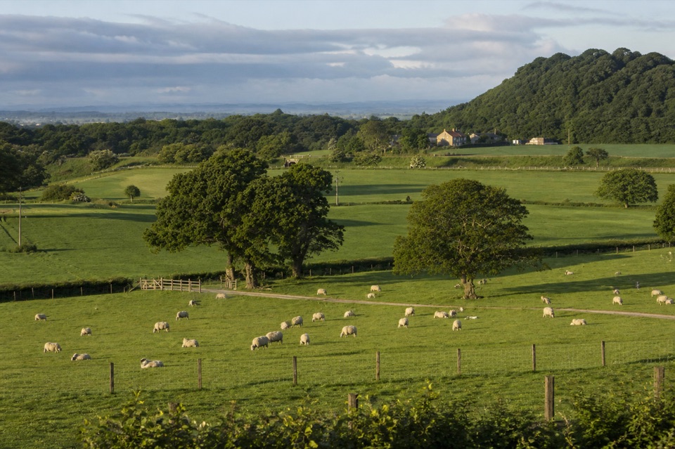 Campground · 4.6 km awayKildale Camping Barn and CampsiteQuiet working-farm pitches a field from the Cleveland Way
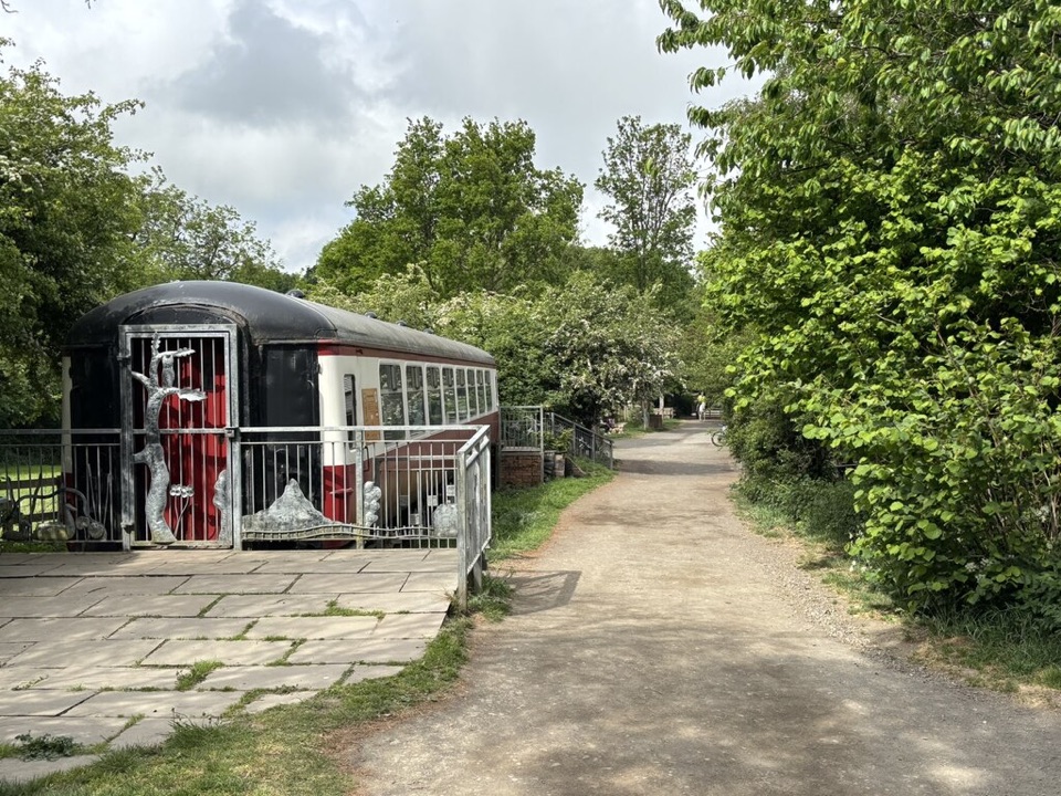 Visitor center · 5 km awayGuisborough Forest and Walkway Visitor CentreCafe, play area and sculpture trail beside a flat old railway walkway
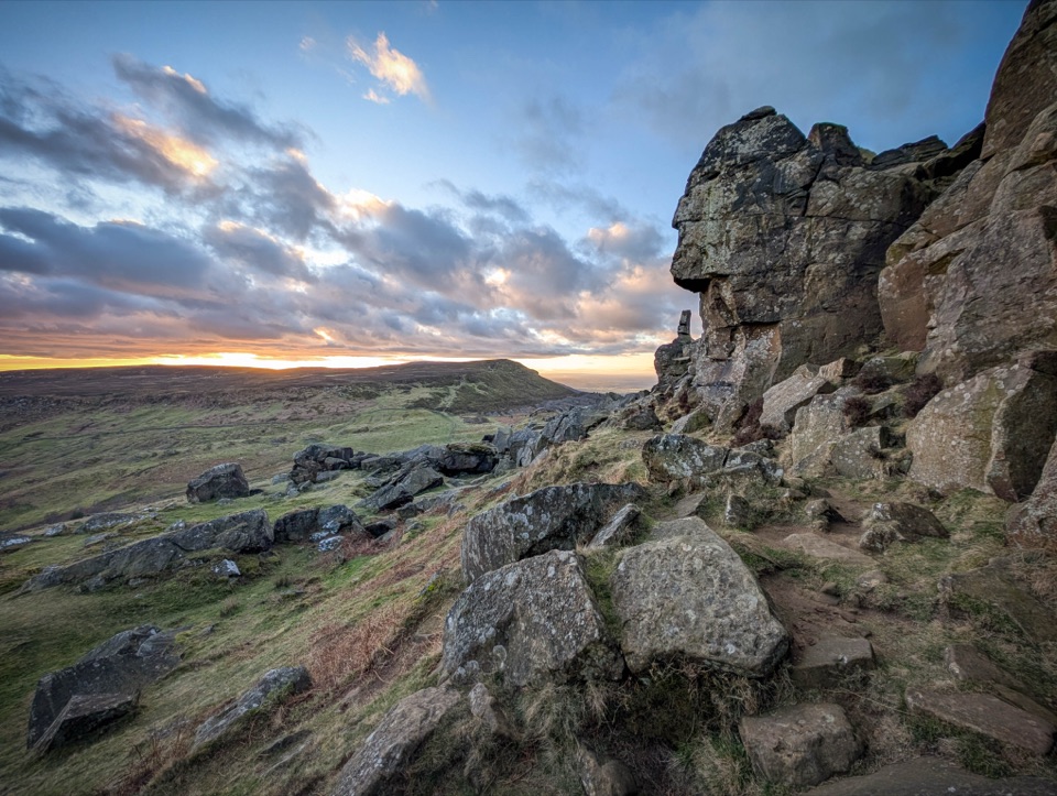 Sight · 7.1 km awayThe WainstonesSandstone pillars up a sharp climb from Clay Bank car park
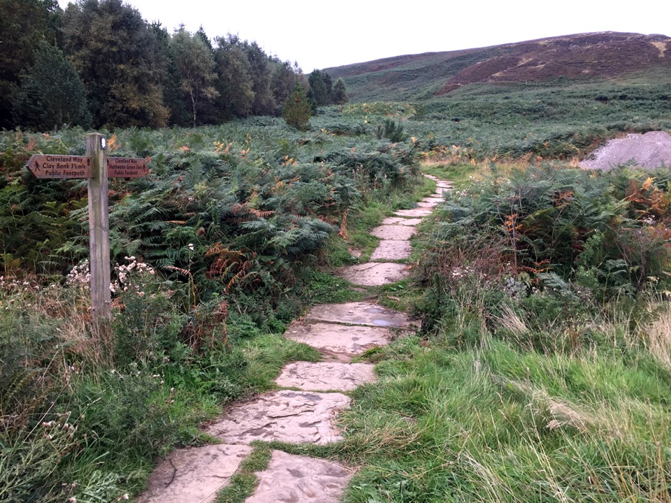 Sight · 8.5 km awayLord Stones Country ParkMoorland trailhead with cafe, camping and wide views across the plain
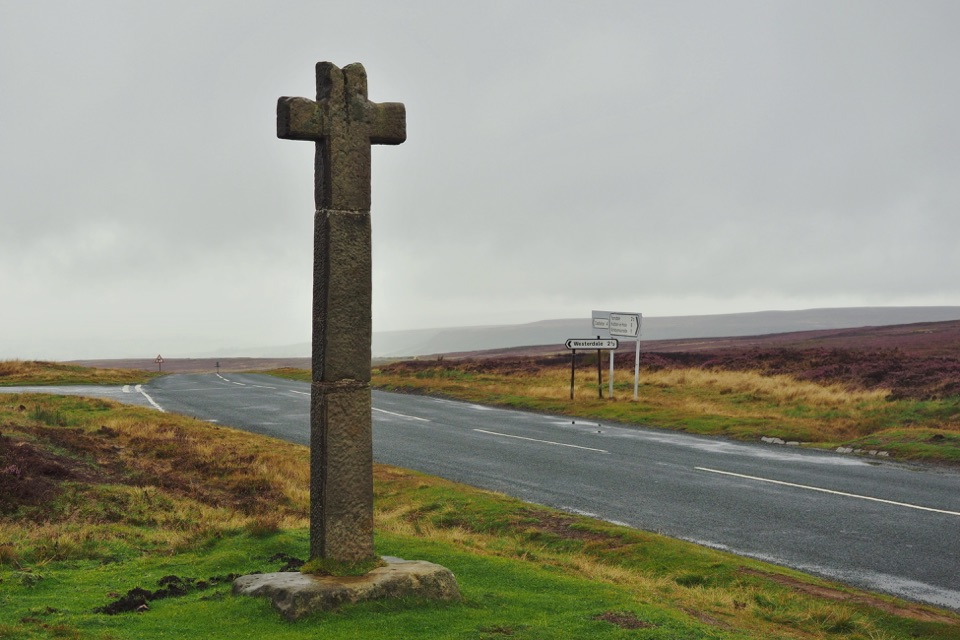 Sight · 14.3 km awayYoung Ralph CrossThe park's emblem in stone, alone on high open moorland
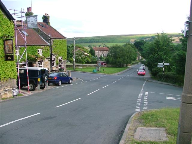 Sight · 14.6 km awayDanbyStone estate cottages where the Esk Valley meets open moorland
Parkwolf’s North York Moors ranking

The audio tour guide for the drive, plus offline maps, trails, and wildlife heatmaps for when the signal drops.