Bousdale Beck Trail in North York Moors National Park

North York Moors National Park, EN

Bousdale Beck Trail

Steep beech climb, then easy forest tracks with views over Guisborough

Photo: Wikimedia Commons
Length
4.4km
Time
1.5hr
Elev. change
102m
Difficulty
Moderate
  • Loop
  • Dogs allowed
  • High point 207 m

Hear the audio tour

Guisborough Forest and Walkway

Overview

About Bousdale Beck Trail

Why go

  • Views over Guisborough and the Tees Valley
  • Steep climb is front loaded

Heads up

  • Steep opening ascent
  • Shared forest roads can carry vehicles

Map & elevation

The route

Loading the North York Moors map
Full map
Elevation105–207 m
TrailheadGuisborough Forest and Walkway Visitor Centre54.52848, -1.09467
Keep this map with you offline in the Parkwolf app

Plan your hike

Before you go

Parking

Use the large pay-and-display car park at Guisborough Forest and Walkway Visitor Centre, Pinchinthorpe, TS14 8HD. Enter from the A173 about 300 metres from the A171 junction. It is managed by Redcar and Cleveland Council; there are no designated accessible parking spaces.


Safety

The walk starts with a steep ascent. Forest tracks and roads can be uneven, and vehicles may use shared forest roads. Follow the yellow waymarkers and any on-site signs.

8 active North York Moors alerts

  • ClosureHawnby Bridleway 110 closurePublic Bridleway 25.122/110/1 in Hawnby is closed to pedestrians, cyclists and equestrians because its bridge is unsafe. - The closure is between grid references SE 5309 9073 and SE 5335 9097.Official details
  • ClosureWest Ayton Footpath 1 closurePublic Footpath 1 in West Ayton (Forge Valley) is temporarily closed because its boardwalk is unsafe. - The closure is between SE 9860 8494 and SE 9839 8712.Official details
See all 8 alerts
A park ranger sits on a dash-mounted phone, talking, as Parkwolf’s Tour Guide plays “Army Cutworm Moths: A Grizzly Bear Buffet” on Grand Loop Road below Dunraven Pass in Yellowstone
Parkwolf Tour GuideThe highest, rockiest slopes around here are a summer buffet for grizzly bears.

North York Moors Tour Guide

Your drive to Bousdale Beck Trail, narrated.

Parkwolf is a GPS audio tour guide for North York Moors National Park. As you drive, it chimes in with what’s ahead: hidden gems, upcoming stops, history, geology, and wildlife, right through your car’s speakers.

Recorded for this trailhead

Guisborough Forest and Walkway
0:00 / 0:32
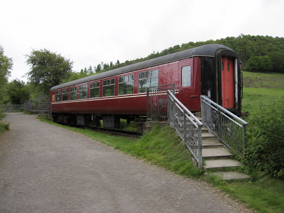
“You're approaching Guisborough Forest and Walkway, where a flat former railway line gives you an easy way into the woods.”

Plays as you drive up to this trailhead in the Parkwolf North York Moors Tour Guide.

More stories near here in the app

  • Roseberry Topping
  • The Rock Beside Roseberry
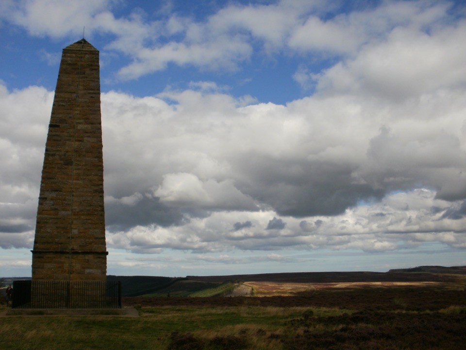
  • Gribdale Gate and Captain Cook's Monument
  • The Tunnel for Livestock
  • 298 audio storiesacross North York Moors’s roads, triggered by GPS as you drive
  • Wildlife heatmapsfor Eurasian Otter, Red Deer, Grey Seal, and 13 more
  • Works offlinemaps, 126 trails, 65 places, and audio download before you lose signal
  • CarPlay readysimple controls built for the drive
★★★★★
“Fantastic app with many points of information… It’s great to just turn on while you’re driving and it gives you an audio tour of the national Park. We love it!!!!”
JMJamesApp Store review
Download Parkwolf on the App StoreGet Parkwolf on Google Play

4.7 from 8,600+ ratings

Trail guide

Hiking Bousdale Beck Trail

The shape of the walkThis is a continuous circular walk of about 2.

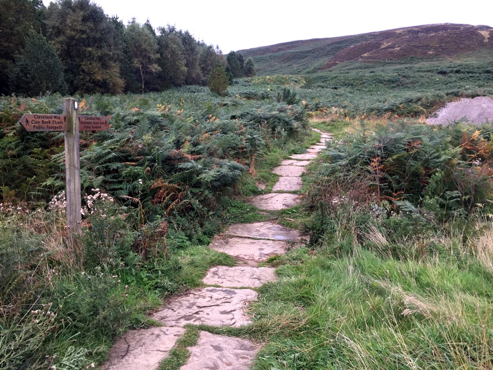
This is a continuous circular walk of about 2.75 miles (4 km), waymarked in yellow, starting and finishing at the Guisborough Forest and Walkway Visitor Centre. Most people take around 1.5 hours. A short link path from the visitor centre takes you onto the loop proper, and the yellow markers are the navigation aid to follow at junctions.

Route sequenceFrom the visitor centre the route climbs fairly quickly through beech woodland, then settles…

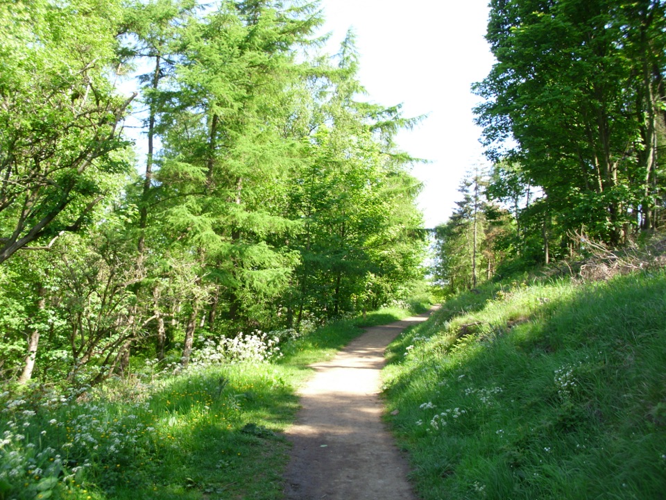
From the visitor centre the route climbs fairly quickly through beech woodland, then settles onto forest track and forest roads that carry you through varied forest habitats before dropping back to the start. The hard work is front loaded, so once you are up, the rest is steady walking rather than repeated ups and downs.

How hard it feelsRate it moderate, largely because of the steep opening ascent, with roughly 130 metres of climb…

Rate it moderate, largely because of the steep opening ascent, with roughly 130 metres of climb overall. There is nothing technical about it. If you are happy with one sustained pull uphill at the beginning, the remainder is straightforward, though steep inclines feature along the way.

Footing and trafficExpect forest track and forest road underfoot, with the route roughly 90% off road.

Expect forest track and forest road underfoot, with the route roughly 90% off road. Because these are working forest routes, vehicle use is possible on the shared forest roads, so walk expecting occasional vehicle activity and obey any signs you meet on site.

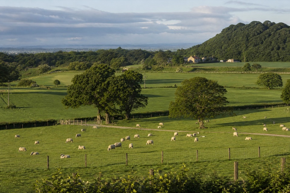
What you get for the climbThe reward is views over Guisborough and beyond from the higher ground, plus the change in…

The reward is views over Guisborough and beyond from the higher ground, plus the change in character as you move from beech woodland into the wider mix of forest habitats and back again.

Best useA good choice for a half morning or an afternoon leg stretch when you want a real climb without…

A good choice for a half morning or an afternoon leg stretch when you want a real climb without committing to a moor day. If you would rather have less distance and less ascent, the nearby Bousdale Circular is the shorter, gentler option.

Parking, access and dogsStart from the Guisborough Forest and Walkway Visitor Centre.

Start from the Guisborough Forest and Walkway Visitor Centre. The car park is large and is managed by Redcar and Cleveland Council, and there are no designated accessible parking spaces. Dogs are allowed throughout the forest, but keep yours close and under close supervision, particularly on the sections shared with vehicles, and follow the signs on site.

Wildlife

Wildlife in North York Moors

All North York Moors wildlife maps

Sighting maps show where each species has been reported across North York Moors. Wildlife moves, so no sighting is guaranteed.

Keep exploring

Near Bousdale Beck Trail

See it all on the map

Trails that start nearby

Places near the trailhead

Parkwolf’s North York Moors ranking

Top-rated trails in North York Moors

All 126 trails
  1. 1Cleveland Way National TrailChallenging · 175.4 km
  2. 2Coast to Coast Path National TrailChallenging · 305.8 km
  3. 3Roseberry Topping and Cook’s MonumentModerate · 11.6 km
  4. 4Levisham Moor & Hole of HorcumModerate · 8.4 km
  5. 5Ravenscar to Robin Hood's BayChallenging · 17.7 km
  6. 6Lyke Wake WalkChallenging · 64.7 km

Take Parkwolf to North York Moors.

The audio tour guide for the drive, plus offline maps, trails, and wildlife heatmaps for when the signal drops.

4.7 from 8,600+ ratings

Download Parkwolf on the App StoreGet Parkwolf on Google Play