
Place · 2.3 mi away
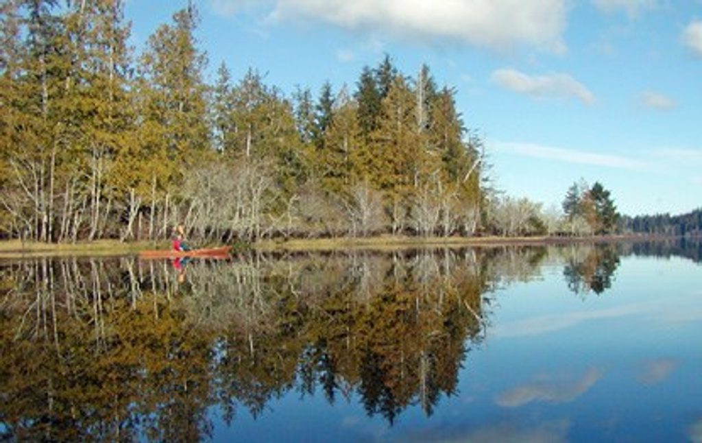
Tucked into the far northwest corner of the park, Ozette Lake is big, quiet, and wonderfully wild. It’s among Washington’s largest natural, undammed lakes and still feels unaltered: mossy forests, mirror‑calm coves on the right day, and trailheads that slip straight to the Pacific.
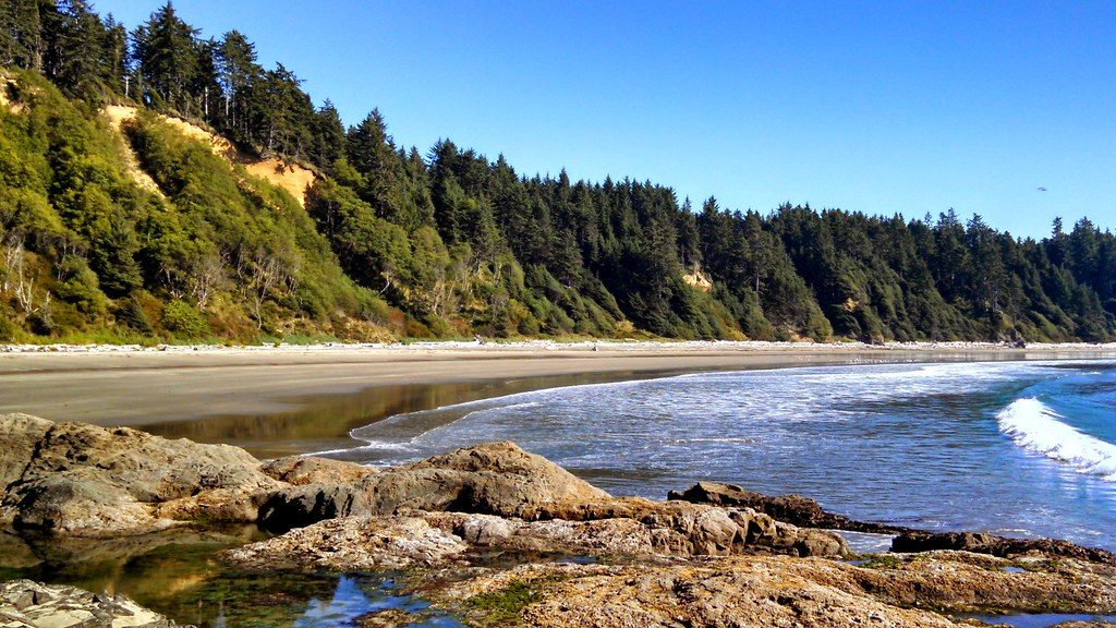
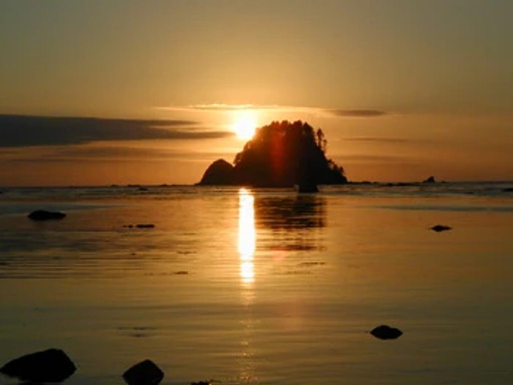
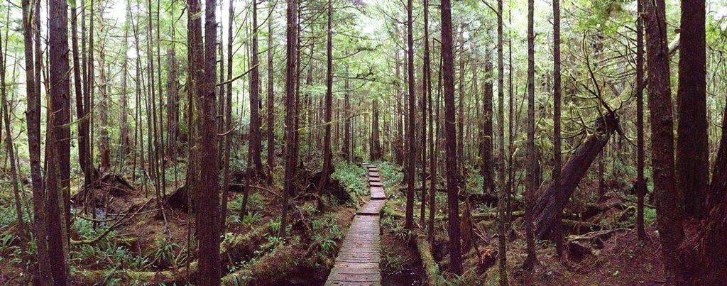
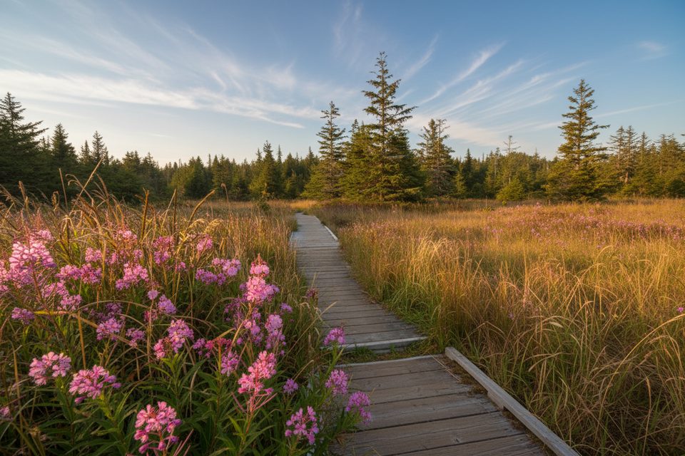
From the north shore, cedar boardwalks traverse wetlands to Cape Alava and Sand Point, forming the popular 9‑mile Ozette Triangle loop. On the coast, you’ll find tidepools, sea stacks, and history etched in stone—54 petroglyphs at Wedding Rock. The lake itself holds three little islands (Tivoli, Garden, and Baby) that make paddling here feel like exploration rather than exercise.
This is a paddler’s lake with many nooks—bays, coves, and river mouths reward unhurried exploration. There’s a boat ramp near the ranger station on the north shore, and paddlers can camp at designated boat‑in sites around the shoreline. Be conservative with conditions: the park notes frequent wind and 1–2 foot waves and emphasizes wearing a life jacket; cold‑water rescues here are no joke.
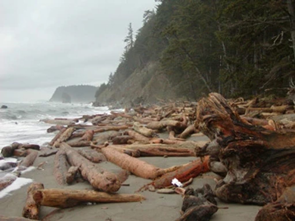
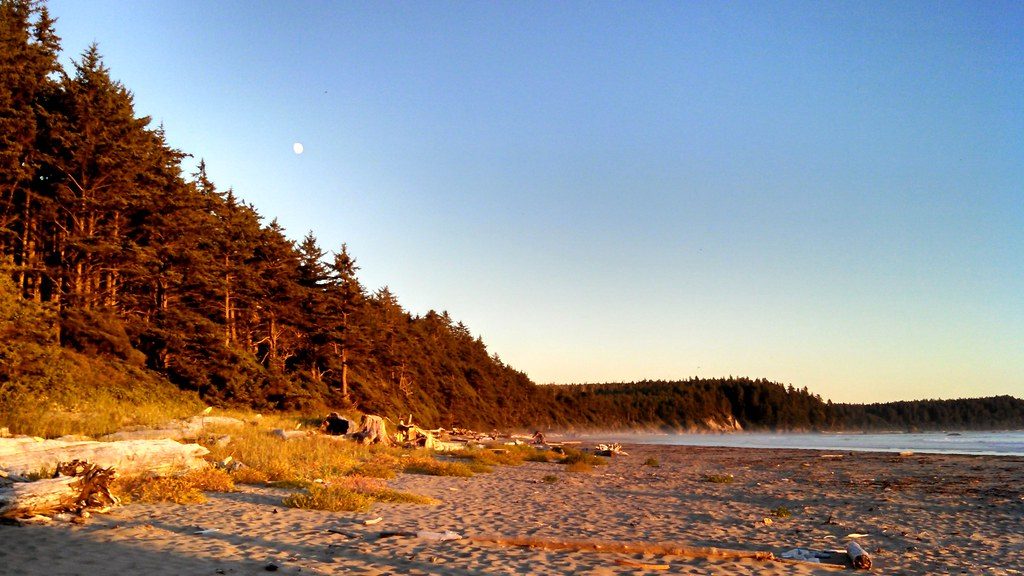
The Cape Alava and Sand Point boardwalks are the classic routes, linked by a rugged beach walk for the full Triangle. If you plan the coast segment, bring a tide chart—some stretches are impassable at high tide—and note that campfires are prohibited between Yellow Banks and Wedding Rocks (including Sand Point).
Ozette takes its name from a long‑inhabited Makah village. A mudslide preserved a 300‑year‑old site that later yielded tens of thousands of artifacts, now cared for at the Makah Cultural and Research Center. On the coast, the Wedding Rock petroglyphs add another layer of story to the landscape.
Watch for seals along the coast and gray whales during migration. Around the lake and forest, expect eagles, ospreys, and the usual cast of Olympic Peninsula residents like Roosevelt elk, deer, and river otters.
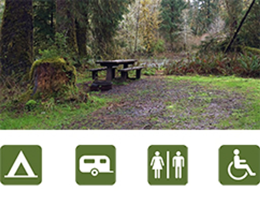
This is a lightly developed corner of the park: there’s a small campground at the north end, vault toilets, seasonal drinking water, a ranger station, and the main trailhead/parking. If you’re camping on the lake’s shoreline or islands (and anywhere along the wilderness coast), the park requires all food and scented items be stored in approved bear canisters.
Summer brings the most hikers on the Ozette Triangle and is when the campground typically has potable water available. If you’re combining lake time with the coast, plan around low tides. For paddling, pick stable weather windows and always build in turnaround margins—the wind can come up fast any time of year.
Place · 2.3 mi away
Place · 4 mi away
Place · 4.3 mi away
Place · 4.3 mi away
Moderate · 4.5 mi away
Easy · 4.5 mi away
Easy · 4.5 mi away
Easy · 4.5 mi away

Parkwolf Tour Guide
