
Place · 2.3 mi away
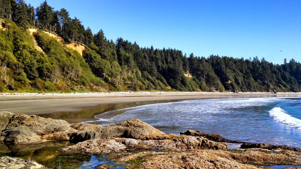
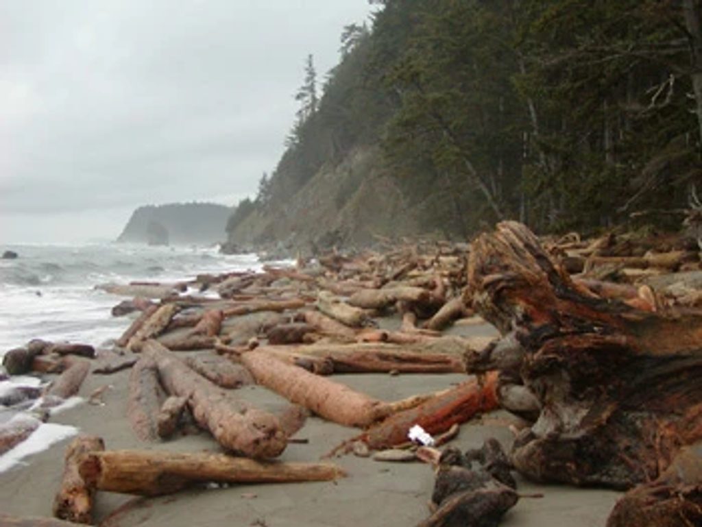
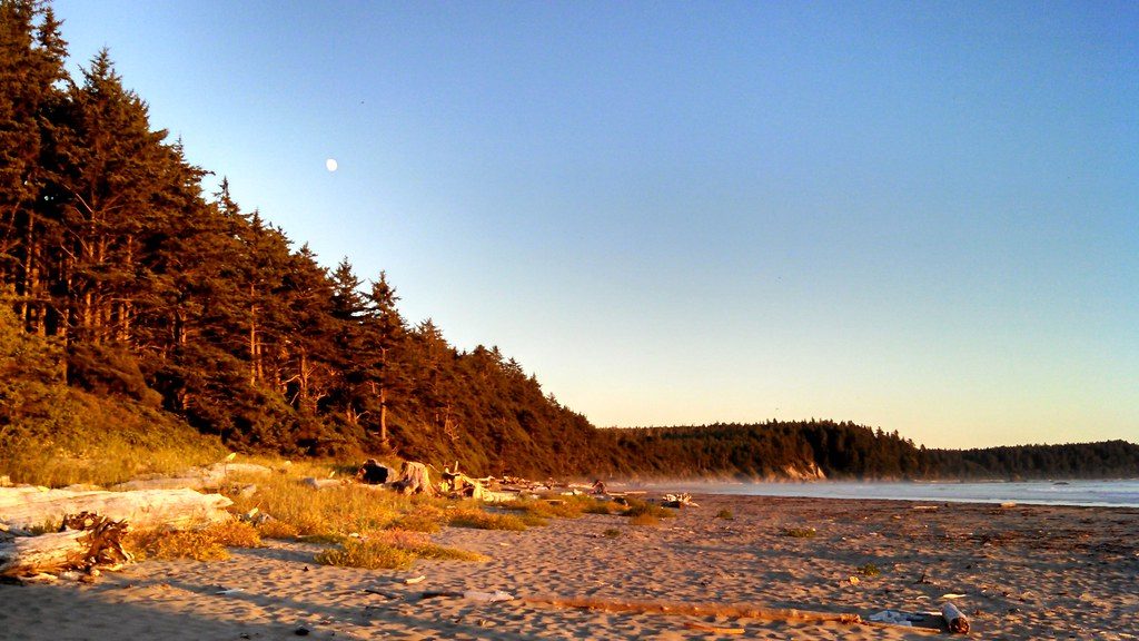
Yellow Banks is a rugged slice of the wilderness coast: broad sand, piles of driftwood, and yellow-tinged bluffs glowing in low light. It’s harder to reach than the park’s roadside beaches, which keeps crowds away and the vibe wonderfully remote.
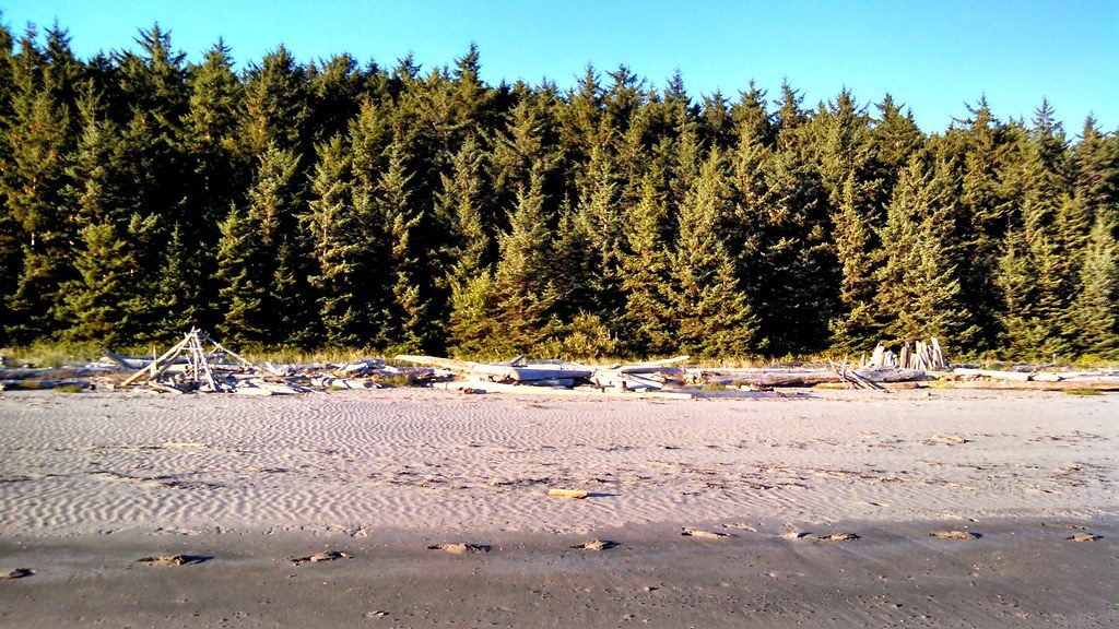
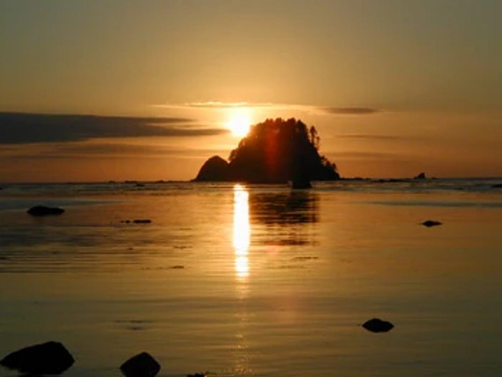
Expect sweeping ocean views, offshore sea stacks, and long, open beach walking broken up by rocky points. The namesake bluffs add a golden hue, especially around sunset. Tidepools dot the rocks, driftwood is everywhere, and it all feels raw and untamed.
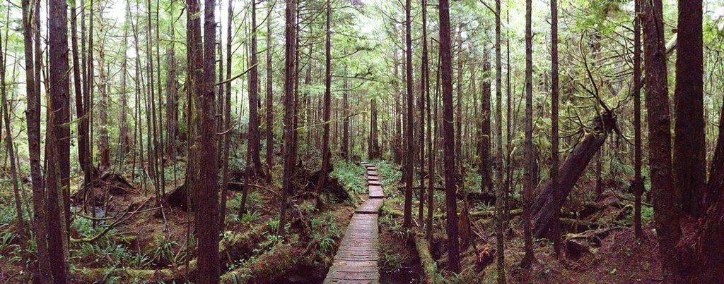
Most people start at the Ozette trailhead and hike the Ozette Triangle toward Sand Point, then continue along the beach to Yellow Banks (about 11 miles round trip). Travel on this coast is tide-dependent; plan your day around the low tide window.
A rocky point just north of Yellow Banks has a "tunnel" workaround that some hikers use when the tide is up—it’s wet, slimy, and extremely slippery. The beach itself can be slow going with mud, slick rocks, and driftwood clambering. Fog, wind, and rain are common; come prepared.
This is a backcountry camping area, not a developed campground. Overnight permits are required, and space is limited—expect small, sometimes cramped sites. Many camp on the beach above the high tide line or tuck into forested spots for wind protection. There are no facilities at Yellow Banks; pit toilets are at Sand Point and Cape Alava. Water comes from nearby creeks—treat or filter it, and know that late-summer flows can be low.
Bald eagles are regulars, and you may spot seals or sea otters offshore. Tidepools shelter marine life, and shorebirds work the wrack line. Keep a respectful distance from any carcasses; they draw scavengers and raptors.
Shoulder seasons and weekdays amplify the solitude. Aim for low tide to simplify headland crossings, and target golden hour for photography—those bluffs light up. Summer brings the most stable weather but also bugs; evenings can be still and spectacular.
Place · 2.3 mi away
Place · 2.3 mi away
Place · 3.9 mi away
Place · 4 mi away
Moderate · 4.2 mi away
Easy · 4.2 mi away
Easy · 4.2 mi away
Easy · 4.2 mi away

Parkwolf Tour Guide
