Pros & cons
PROS
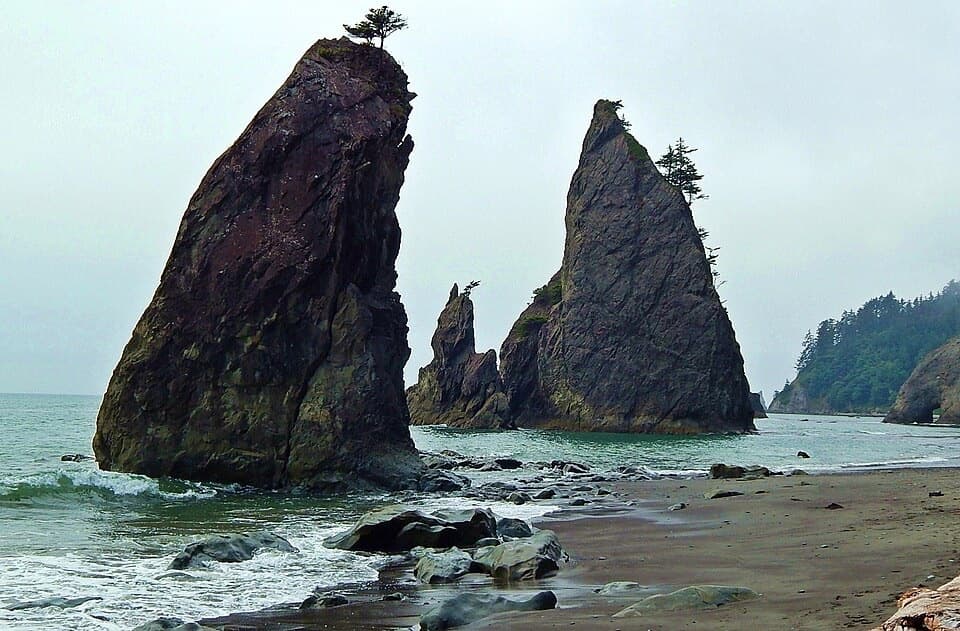
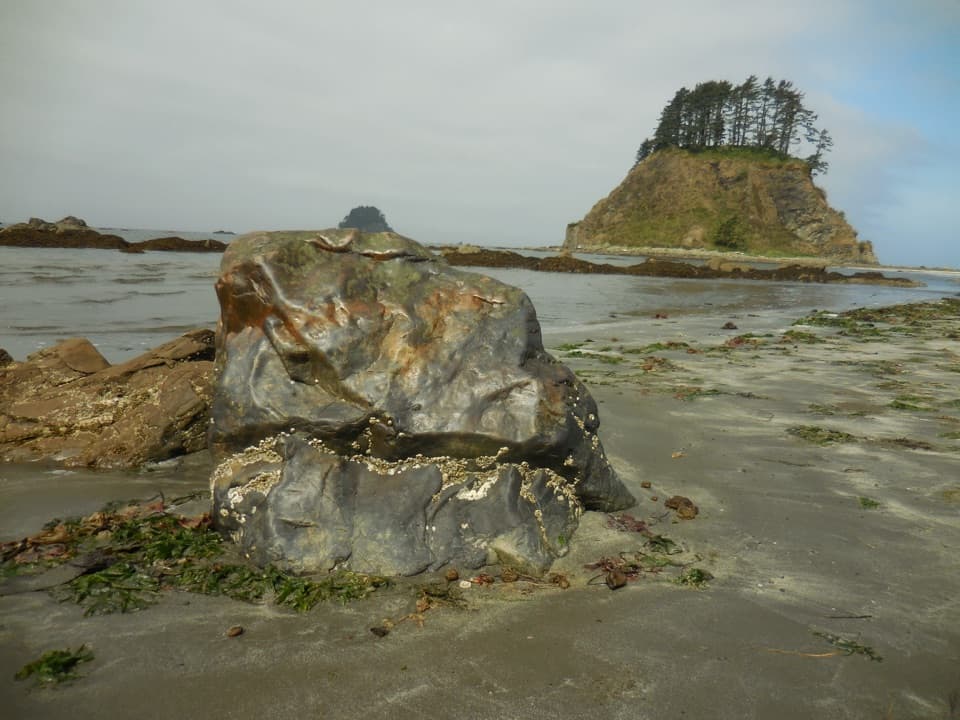
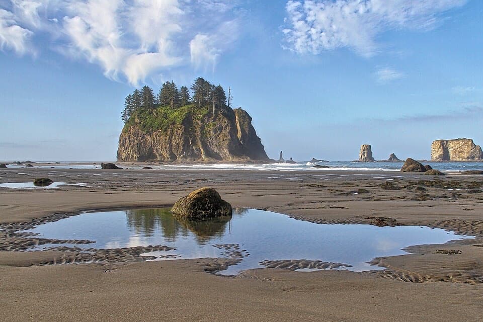
- Wide sandy beach with tidepools and offshore sea stacks
- Easy, mostly boardwalk approach from Ozette
CONS
- Boardwalk planks can be very slick when wet
- Some beach sections are impassable at high tide
Overview
Sand Point is the big payoff on the Ozette coast: a broad, sandy headland where a flat, cedar‑planked trail through lush forest suddenly spills you onto the open Pacific. It’s a cornerstone of the Ozette Triangle loop and a favorite out‑and‑back dayhike for anyone starting near Lake Ozette.
What you'll see
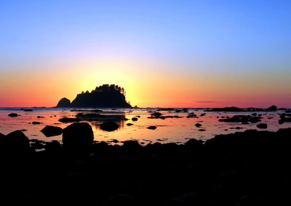
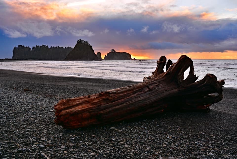
- A sweeping beach backed by forest, dotted with driftwood and framed by sea stacks and rocky outcrops.
- Low‑tide tidepools north of the point teeming with anemones, starfish, crabs, and other intertidal life.
- Big‑sky sunsets and that wonderful contrast of dark rainforest to bright, wind‑washed coast.
Getting there
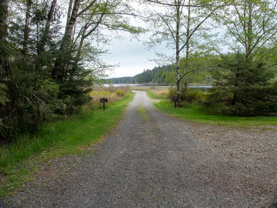
From the Ozette area, follow the virtually level boardwalk trail about three miles to reach Sand Point. Expect damp, sometimes muddy sections and slick boards if it’s been raining.
Camping and logistics
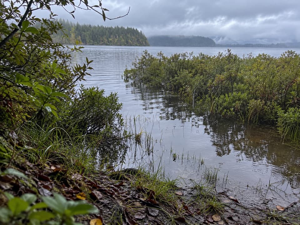
Sand Point has designated backcountry camping areas and pit toilets. Camping is popular and quota‑controlled in season, so secure a wilderness permit in advance. There’s no potable water—treat or boil creek water (it’s tannin‑stained) and pack extra in late summer when flows can be low. A bear canister is required for food storage. Follow Leave No Trace and local fire rules; burn only driftwood where fires are allowed.
Wildlife
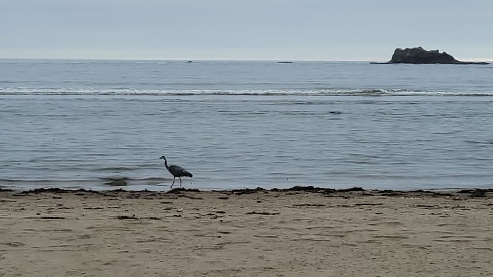
Keep an eye out for bald eagles cruising the shore, plus seals and sea otters offshore. The intertidal zone is the star at low tide. Tracks and occasional black bear sightings happen—store food properly.
Safety and tide timing
A tide table is essential. Travel along the coast north or south can be hazardous or outright blocked at high tide or during storms. Plan your movements for low tide windows and be ready for quick weather changes.
Best time to visit
- For tidepools: arrive around low tide, ideally on minus‑tide days.
- For photos: late afternoon into sunset lights up the beach and sea stacks.
- For fewer people: weekdays and shoulder seasons; summer weekends see the most backpackers.
- For traction: go slow on wet boardwalks—grippy footwear helps.
Where it is
48.1256, -124.7111Tips for Sand Point
- 01Bring a tide table and plan beach travel for low tide windows.
- 02Wear grippy shoes—the cedar boardwalks are slick when wet.
- 03Secure a wilderness permit early for summer weekends at Sand Point.
- 04Treat or boil all water; creeks can run low late in the season.
- 05Carry a bear canister and store all food and scented items.
Amenities
Near Sand Point
All places →All trails →
1.6 mi awayWedding RocksRemote coastal petroglyphs tucked between Cape Alava and Sand PointScenic Viewpoint
2.3 mi awayYellow BanksRemote yellow-bluffed beach for solitude, tides, and big sunsets
2.8 mi awayOzette CampgroundTiny lakeside basecamp for the Ozette Triangle and wild coastTrailhead · Restroom
2.8 mi awayOzette Ranger StationRemote hub for Ozette Triangle hikes and Lake Ozette accessTrailhead · Restroom
2.8 mi awayOzette Triangle LoopClassic coast loop: boardwalk forest, wild beach, and Wedding Rocks.Moderate · 9.4 mi · 5.5 hr
2.8 mi awaySand Point TrailEasy boardwalk to a wild Pacific beach with big payoff.Easy · 6 mi · 3 hr
2.8 mi awayCape Alava TrailBoardwalk stroll to the Lower 48’s westernmost pointEasy · 6.2 mi · 4 hr
2.8 mi awayAhlstrom's Prairie TrailQuiet forest-to-prairie stroll to Cape Alava’s rocky coastEasy · 3.1 mi · 2.5 hr