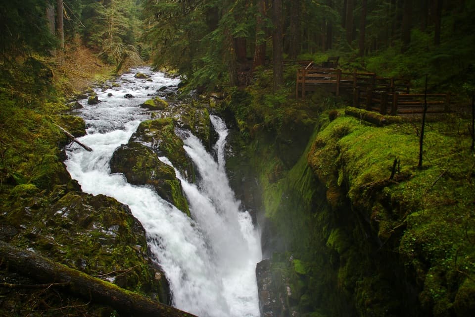
Parking
Park at Ozette Ranger Station; the trail starts just beyond it. A picnic area and accessible restrooms are nearby.

Olympic National Park, WA
A mostly boardwalk walk to a wide Pacific beach.
Overview
Map & elevation
Plan your hike

The highest, rockiest slopes around here are a summer buffet for grizzly bears.
Olympic Tour Guide
Parkwolf is a GPS audio tour guide for Olympic National Park. As you drive, it chimes in with what’s ahead: hidden gems, upcoming stops, history, geology, and wildlife, right through your car’s speakers.
See the Olympic audio tourRecorded for this trailhead
Ozette: The Walk to Cape Alava“You’re nearing Ozette Ranger Station beside the lake, the starting point for the walk to Cape Alava. Choose this for a half-day outing through coastal forest and prairie to a rocky Pacific beach.”
Plays as you drive up to this trailhead in the Parkwolf Olympic Tour Guide.
More stories near here in the app
“Fantastic app with many points of information… It’s great to just turn on while you’re driving and it gives you an audio tour of the national Park. We love it!!!!”


Trail guide
Sand Point Trail is a 5.6-mile out-and-back from Ozette Ranger Station to a wide sandy beach on Olympic's Pacific coast. The park lists the beach at 2.8 miles one way; allow about 3 to 4 hours with a short stop at the shore. Most of the walk is boardwalk through coastal forest, with gentle ups and downs and about 150 feet of total gain. It's a good choice if you want a beach walk without taking on the full Ozette Triangle. The return trip is still a real half-day outing, even though the climb is mild.
The trails start behind Ozette Ranger Station and share a short stretch with the Cape Alava route. At the signed junction, turn left for Sand Point. The path runs through coastal forest, shifting from more open growth to thicker shade, with salal and small flowers along the understory. Most of the route is wooden boardwalk with a few steps and small rises. Some sections are uneven, and the boards get very slippery when wet or frosty; softer-soled shoes grip better than stiff, hard-lug boots.
Near the coast, you'll hear the waves before the path forks. Either branch reaches the beach; the left one is more direct to the campsites and privy. The final approach crosses driftwood piles, then the forest opens onto broad sand with room to wander. Tidepools and shorebirds are worth a closer look, and binoculars may help spot marine mammals offshore. For a photo, use the reflective pools and sea stacks to give the wide beach some scale when they're visible.
The boardwalk trail ends at the beach. Continuing north along the shore toward Cape Alava turns this into the separate Ozette Triangle, roughly a 9-mile loop with about 3 miles of sand and rocky beach between the two boardwalk legs. That shoreline has tide-dependent headlands; check a tide table before going farther and don't try to round a headland when the water is in.
Park at Ozette Ranger Station; the trail starts just beyond it. A picnic area and accessible restrooms are nearby. Pets aren't allowed on park trails or beaches. The day hike doesn't require a wilderness camping permit, but an overnight at the coast does; bear canisters are required and campfires are prohibited at Sand Point.
Wildlife
 710 sightingsOlympic MarmotMost seen around 11 AMSighting map
 30 sightingsHumpback WhaleMost seen around 6 PMSighting map
 42 sightingsGrey WhaleMost seen around noonSighting map
 23 sightingsMountain LionMost seen around 8 PMSighting map
 71 sightingsMountain GoatMost seen around 7 AMSighting map
 306 sightingsBald EagleMost seen around 11 AMSighting map
Sighting maps show where each species has been reported across Olympic. Wildlife moves, so no sighting is guaranteed.
Keep exploring
 ModerateCape Alava Trail6.6 mi · 4 hr · At the trailheadBoardwalk, prairie, and rocky Pacific shore on a long out-and-back.
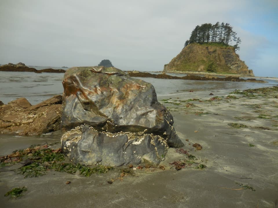 ModerateOzette Loop9.2 mi · 5 hr · At the trailheadBoardwalks, tide pools, and a rugged coast on one full loop.
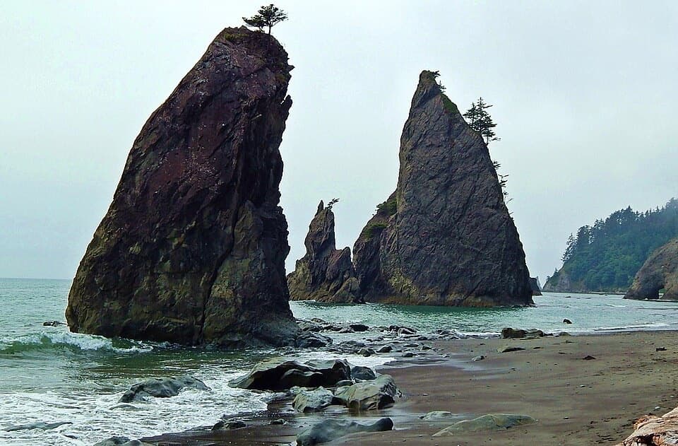 ChallengingNorth Coast Route: Sand Point to Rialto Beach17.3 mi · 13 hr · 2.6 mi awaySea stacks and shipwreck memorials, with tides setting the pace
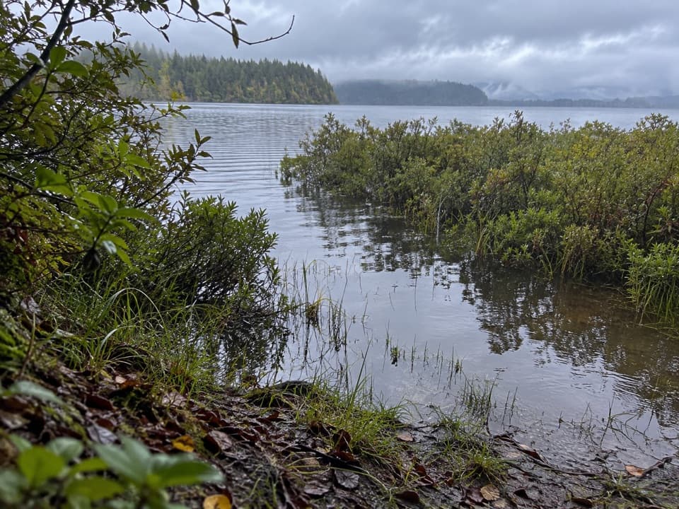 ModerateEricson's Bay Primitive Trail2 mi · 1.5 hr · 2.7 mi awayA remote, flat coast-to-lake walk on slick old boardwalk.
 ChallengingAllens Bay Route2.2 mi · 3 hr · 6.3 mi awayA rough lake-to-coast route to a remote shipwreck memorial.
 ModerateShi Shi Beach and Point of Arches Trail8 mi · 5 hr · 9.7 mi awayA muddy, steep descent opens onto tide pools and sea stacks.
 Ranger station · At the trailheadOzette Ranger StationA seasonal information stop before Ozette's coast walks.
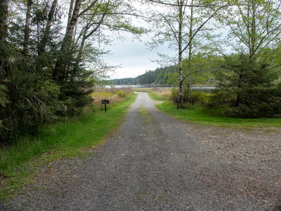 Sight · 0.1 mi awayOzette Boat LaunchA small-boat launch on a lake that can turn rough fast.
 Campground · 0.1 mi awayOzette CampgroundA small lakeside base for Ozette's coastal trailheads.
 Lodging · 0.5 mi awayThe Lost Resort at Lake OzetteA rustic base for overnight trips to Ozette's remote coast.
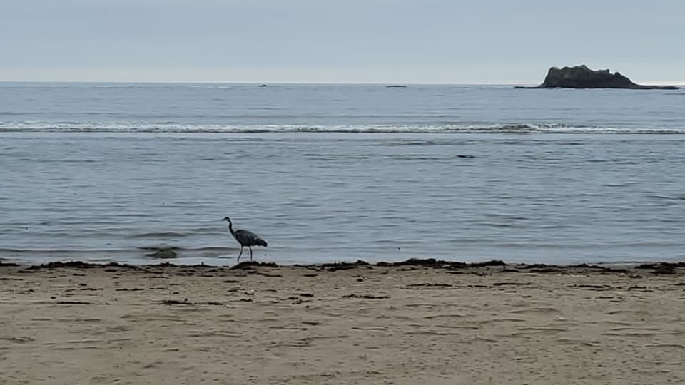 Beach · 2.8 mi awaySand PointTidepools and a sandy beach reward the long Ozette boardwalk.
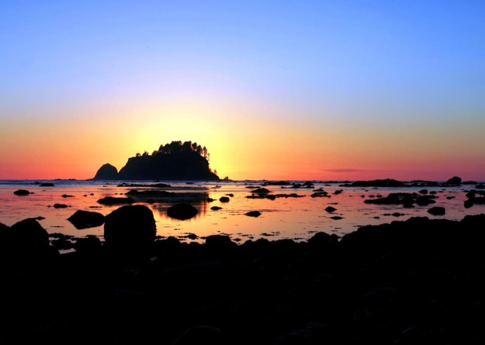 Beach · 3 mi awayCape AlavaA remote coast reached by boardwalk through prairie and forest.
 Sight · 6.6 mi awayPoint of ArchesEight miles of beach walking lead to a headland of sea stacks.
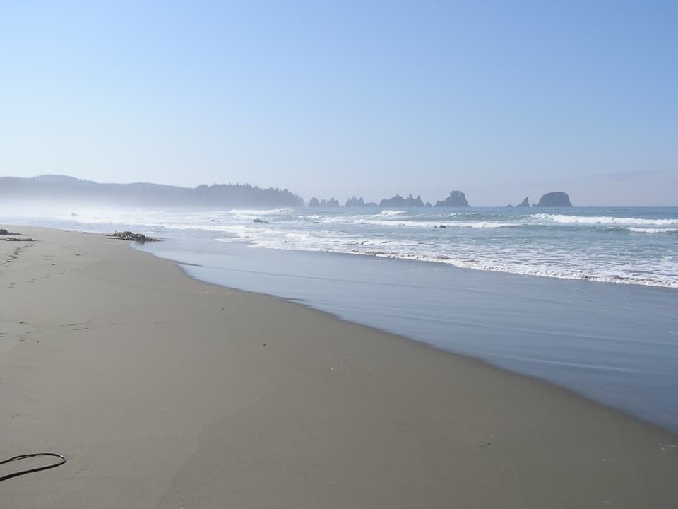 Beach · 8.4 mi awayShi Shi BeachA muddy coastal hike ends among tide pools and sea stacks.
Parkwolf’s Olympic ranking

The audio tour guide for the drive, plus offline maps, trails, and wildlife heatmaps for when the signal drops.