
Place · 0 mi away
Easy
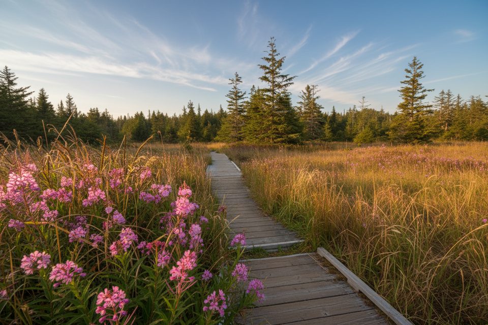
If you want the Ozette area without the crowds, this is your move. Ahlstrom’s Prairie is a rare, open wetland set inside dense coastal rainforest—quiet, birdy, and strikingly different from the rest of the peninsula’s spruce-hemlock woods. The trail is easy, mostly flat, and far less traveled than the nearby beach loop.
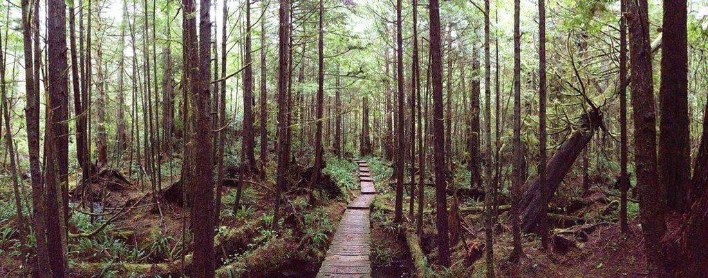
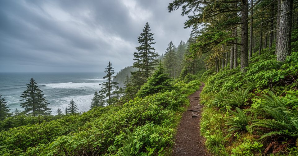
Starting behind the Ozette Ranger Station, the path heads west on a mix of dirt and boardwalk, moving from mossy forest into the broad, grassy expanse of Ahlstrom’s Prairie before ducking back into woods. Stairs and a short, steeper descent deliver you to the rocky beach at Cape Alava. It’s about 3.1 miles one way from the ranger station to the coast, crossing the prairie en route. Expect sections of wet or muddy tread and slippery boardwalk when it’s damp.
Keep an eye out for warblers and woodpeckers in the forest edge, deer grazing the prairie, and occasional signs of elk or black bear. At the prairie’s edge, you may notice subtle traces of late-1800s homesteading by the Ahlstrom family—nothing dramatic, but a hint of the area’s cultural history.
Footwear matters here—waterproof shoes help, especially after rain, and tread carefully on slick boards. Bugs can be a thing in late spring and early summer, so bring repellent. No permit is needed for day hiking; overnight coastal camping requires a wilderness permit. If you want more, continue along the beach and return via the Sand Point trail to make the classic Ozette Triangle (~9.4 miles total). Only do the beach portion at lower tides; that’s when tidepools shine and travel is safer.
Late spring through summer brings wildflowers in the prairie and more reliable footing. Fall is quieter and less buggy. Winter is very wet and muddy. For any beach extension, plan around low tide for safety and the best exploring.
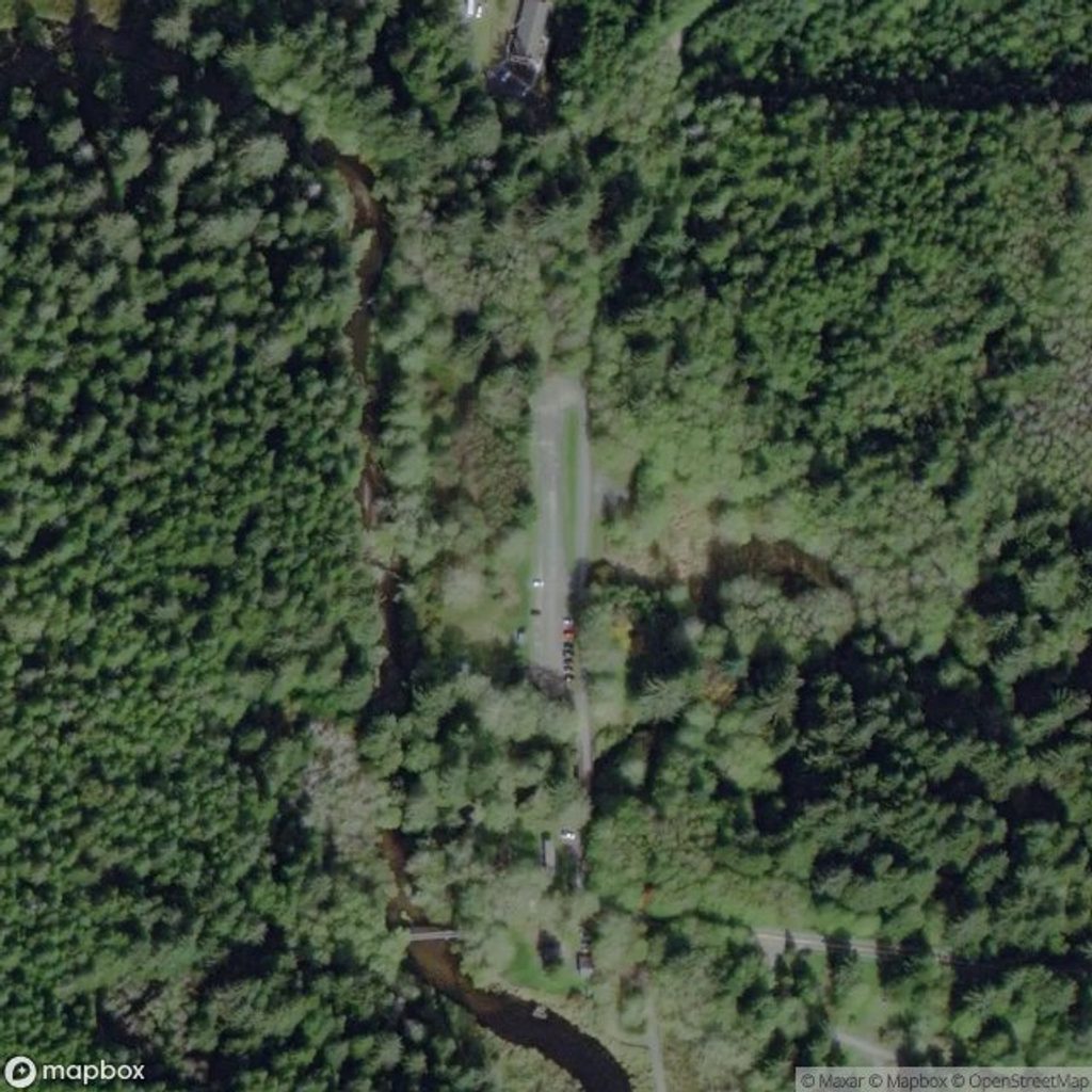
Park at the Ozette Ranger Station lot on Hoko Ozette Road; the trail begins directly behind the ranger station.
Boardwalks are slippery when wet; expect mud after rain. If continuing onto the beach, check tide tables and plan for lower tides. Stay on trail to protect the fragile wetland.
Place · 0 mi away
Place · 0.2 mi away
Place · 2.4 mi away
Place · 2.8 mi away
Moderate · 0 mi away
Easy · 0 mi away
Easy · 0 mi away
Challenging · 0 mi away

Parkwolf Tour Guide
