
Place · 0 mi away
Easy
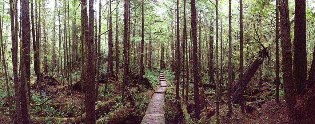
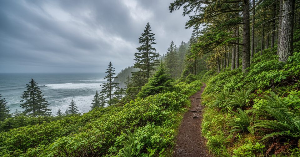
A classic Olympic coast experience without big elevation. The Cape Alava Trail leaves the Ozette Ranger Station and threads lush coastal rainforest on long cedar boardwalks before delivering you to rugged Pacific beach at Cape Alava—the westernmost point in the contiguous U.S. Expect rainforest shade, ferny undergrowth, and a dramatic ocean reveal with offshore rocks and sea stacks.
It’s about 3.1 miles one way from Ozette Ranger Station to the beach (6.2 miles total out-and-back) with roughly 100 feet of total gain—easy terrain, but the boardwalk can be slick when wet and there are some stair sections. Many hikers extend it into the classic Ozette Triangle loop (about 9.4 miles total) by continuing south along the beach to Sand Point and returning on the Sand Point Trail.
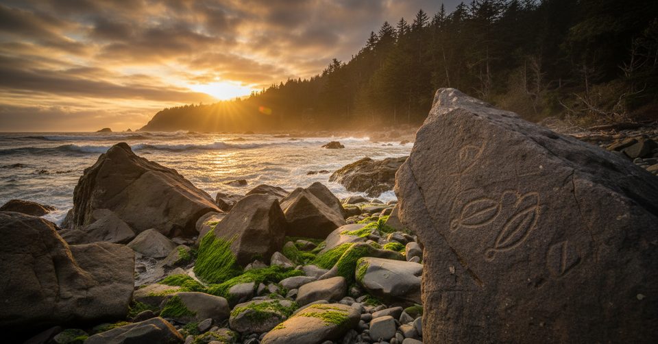
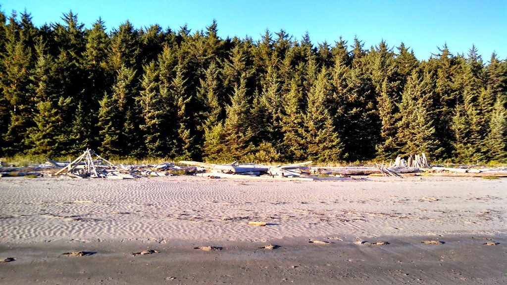
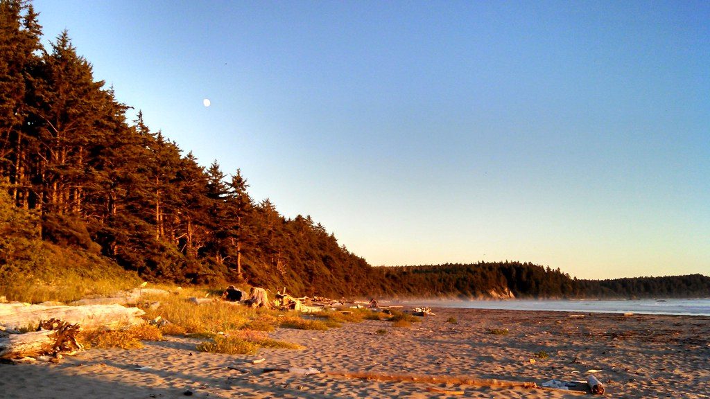
The forest is a dense, cool mix of conifers and hardwoods with salal and ferns crowding the boardwalk edges. At the coast, look for tidepools, sea stacks, and wildlife—sea lions on offshore rocks, otters in the surf, and bald eagles overhead. You’re walking ancestral Makah land; nearby, the Ozette Archaeological Site (uncovered in the 1970s) speaks to centuries of coastal life, with artifacts now housed in the Makah Museum in Neah Bay.
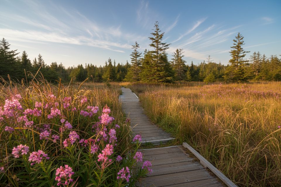
Most of the route is elevated wooden boardwalk with occasional stairs—great for traversing boggy ground but slippery when wet. If you add the beach leg, expect slower travel over sand, pebbles, and cobbles. Traction footwear earns its keep here.
April through October offers the best odds for drier boardwalks and friendlier beach conditions. The trail is open year-round, but winters can be wet and slick. For the loop or tidepooling, plan around low tide regardless of season.
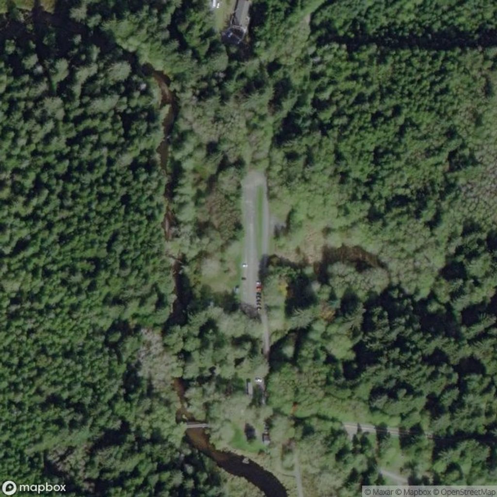
Park at the Ozette Ranger Station/Trailhead at Lake Ozette; this signed lot serves both the Cape Alava and Sand Point trails.
Boardwalks and stairs are slick when wet; if adding the beach leg, plan for lower tides. No pets. Overnight coastal camping requires a permit and bear canister.
Place · 0 mi away
Place · 0.2 mi away
Place · 2.4 mi away
Place · 2.8 mi away
Moderate · 0 mi away
Easy · 0 mi away
Easy · 0 mi away
Challenging · 0 mi away

Parkwolf Tour Guide
