Pros & cons
PROS
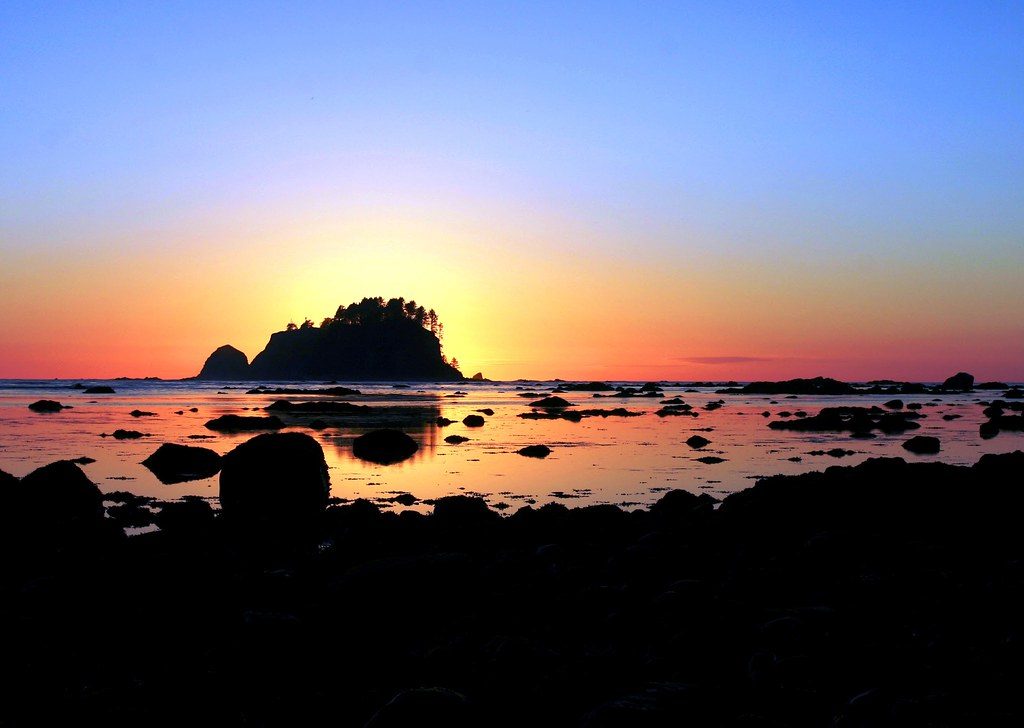
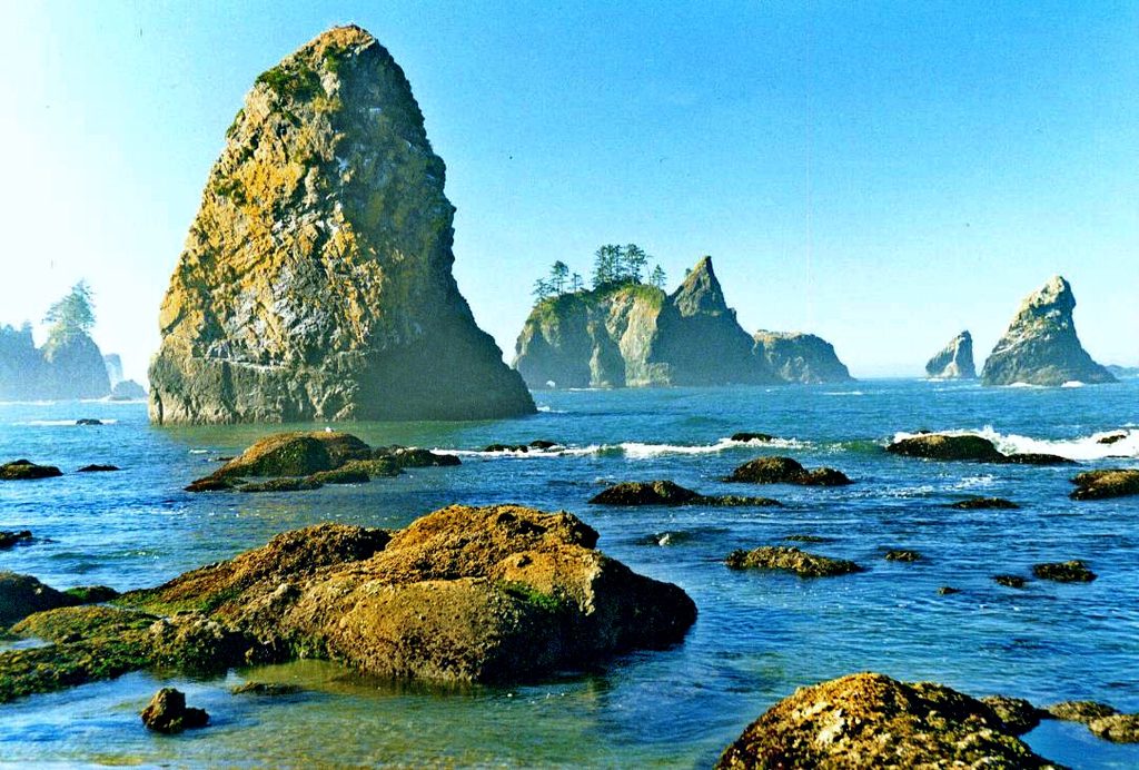
- Point of the Arches sea stacks and excellent tide pools at low tide
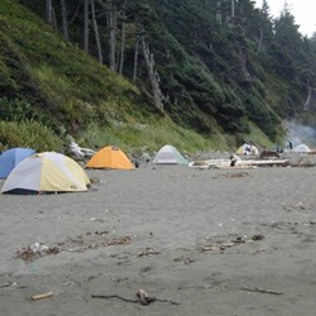
- Beach camping right on the sand with wilderness permits
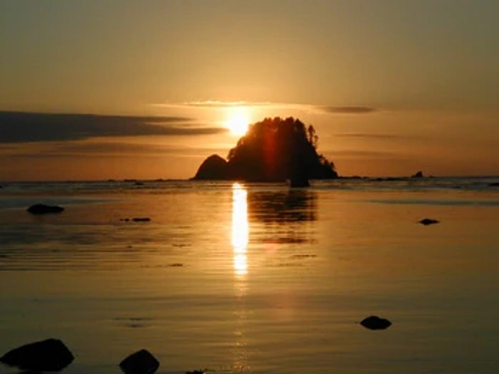
- Jaw‑dropping sunsets, dark skies, and occasional bioluminescence
CONS
- Approach trail is notoriously muddy and can be strenuous near the beach
- Multiple permits and cash-only parking logistics
- Can feel crowded in summer despite the remote vibe
Why go
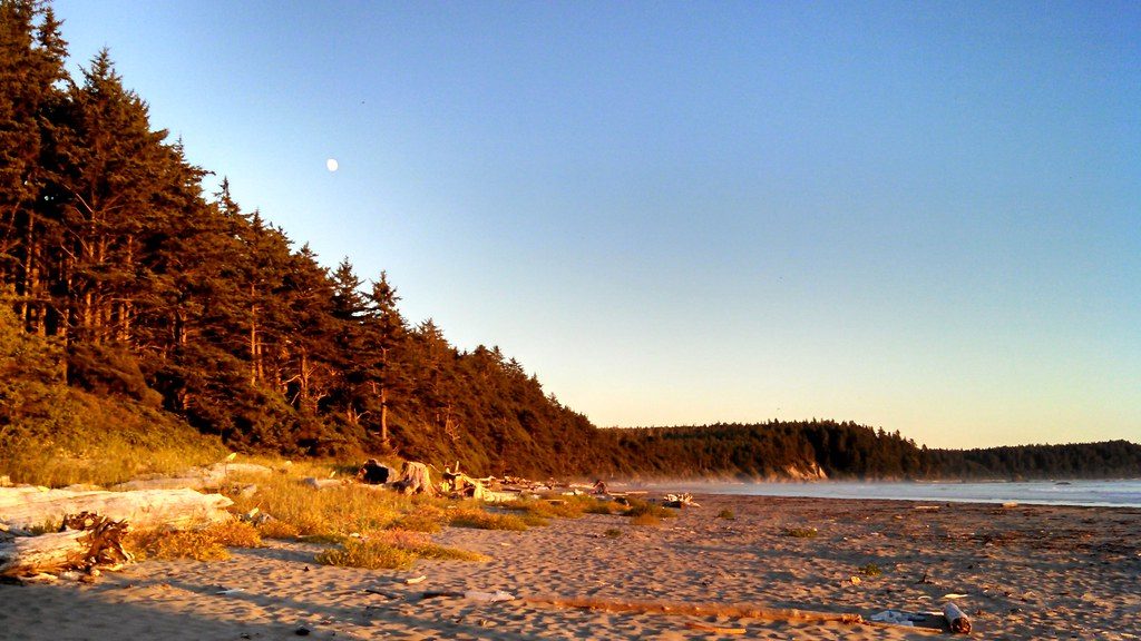
Shi Shi is the park’s wild coast at its best: a rainforest walk that opens onto a sweeping strand of sand, surf, and sculpted sea stacks. It’s the place photographers, tide‑poolers, and backpackers daydream about. The southern end, Point of the Arches, is the headliner—jagged stacks, arches, and caves that glow at sunset and reveal thriving tide pools at a good low tide. On clear, moonless nights, you’ll get big-sky stars and, if you’re lucky, bioluminescence flickering in the wash.
Getting there and permits
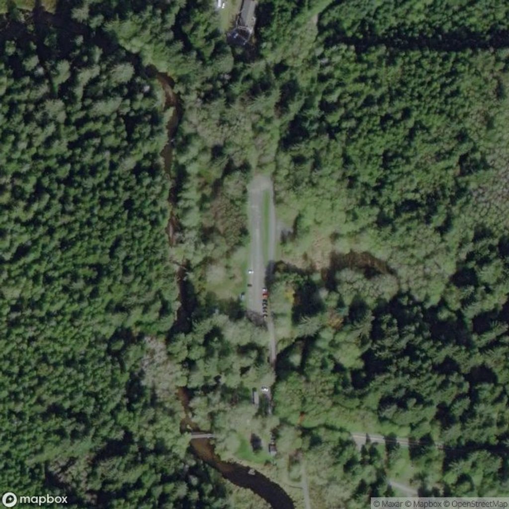
Access starts on the Makah Reservation; you’ll need a Makah permit to park, and overnight stays on the beach require an Olympic National Park wilderness camping permit. The trailhead lot is day-use only; overnight visitors use nearby private, cash-only lots about 0.6 miles back (common reports note around $10/day, with higher rates for overnight). “Shi Shi” is pronounced “shy‑shy.”
The hike and conditions
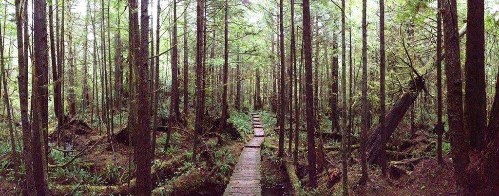
It’s an easy, mostly flat forest approach until the final descent, which is steep and sandy. The big caveat: mud. Expect it—ankle-deep in wet periods—and come with waterproof footwear. Fallen trees are common, but passable. Once on the beach, it’s a lovely walk of roughly 1.5–2 miles south to Point of the Arches.
Tide pools and shoreline exploring
Time your visit for a favorable low tide to safely reach and explore the arches and tide pools. High tide can cut off access to the stacks, and the best marine life viewing happens as the tide bottoms out. Always keep an eye on the ocean and your turnaround time.
Camping on the sand
Backcountry camping is allowed directly on the beach (no developed campground). Expect misty, damp nights—your gear will get dewy even without rain. There are no services; pack in everything and pack out all trash. Natural water is available at Petroleum Creek, but you must filter or treat it.
Wildlife
The intertidal zone is the star: colorful anemones, crabs, and more. Overhead, watch for shorebirds and eagles. Offshore sightings can include marine mammals; visitors occasionally report whales cruising past the surf line.
Practicalities
- Facilities are minimal. Vault/pit toilets are reported at the trailhead and along the beach. No potable water, stores, or Wi‑Fi. Nearest services are in Neah Bay.
- Dogs aren’t allowed here.
- Bring cash for private parking and permits, sturdy waterproof footwear, and a tide chart saved to your phone.
Best time to visit
- For tide pooling and arches: days with an afternoon or evening low tide are ideal, especially around sunset for photography.
- Summer brings the most reliable weather and the most people; weekdays help. Shoulder seasons are quieter but wetter, muddier, and windier.
- Photographers: late-day light is best; stay for blue hour and stars on clear nights.
Where it is
48.2598, -124.6827Tips for Shi Shi Beach
- 01Check tide charts and aim for a low tide to reach Point of the Arches.
- 02Carry cash for private, overnight parking near the trailhead and for permits.
- 03You need a Makah permit for access and an ONP wilderness permit to camp.
- 04Wear waterproof boots—the forest trail is famously muddy and slick.
- 05Filter water from Petroleum Creek; there’s no potable water on site.
Amenities
Near Shi Shi Beach
All places →All trails →
1.2 mi awayPoint of ArchesSea stacks and tide pools at Shi Shi’s wild south endScenic Viewpoint
6.7 mi awayOzette Indian Village Archeological SiteBuried Makah village site on a wild coast, reached by boardwalk
6.9 mi awayCape AlavaWesternmost point and wild beach on the Ozette TriangleRestroom · Campground
7.3 mi awayOzette Triangle LoopClassic coast loop: boardwalk forest, wild beach, and Wedding Rocks.Moderate · 9.4 mi · 5.5 hr
7.3 mi awaySand Point TrailEasy boardwalk to a wild Pacific beach with big payoff.Easy · 6 mi · 3 hr
7.3 mi awayCape Alava TrailBoardwalk stroll to the Lower 48’s westernmost pointEasy · 6.2 mi · 4 hr
7.3 mi awayAhlstrom's Prairie TrailQuiet forest-to-prairie stroll to Cape Alava’s rocky coastEasy · 3.1 mi · 2.5 hr
7.3 mi awayOzette Ranger StationRemote hub for Ozette Triangle hikes and Lake Ozette accessTrailhead · Restroom