
Place · 0 mi away
Challenging
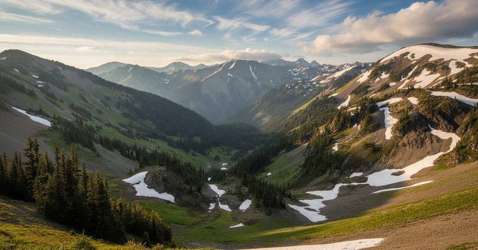
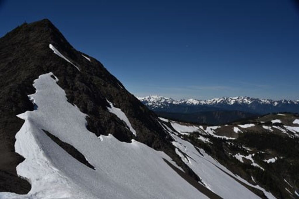
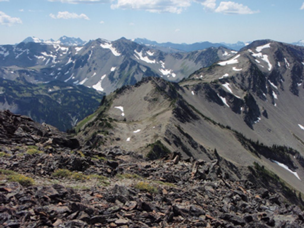
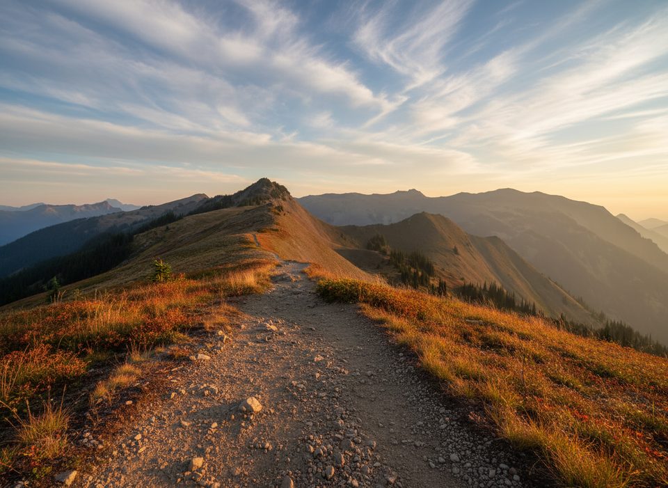
Start at Obstruction Point and you’re instantly in true high country—no long forest approach, just big views and crisp air. The classic Badger Valley Loop drops steeply off the ridge into meadows, works down-valley to Grand Lake, then claws back up to Lillian Ridge for a skyline walk back to the car. Expect a strenuous day with a backcountry feel and far fewer people than the more accessible Hurricane Ridge walks.
Length varies by how you connect things: the standard loop is roughly 8–10.5 miles total, tying Badger Valley to Grand Lake and returning via Lillian Ridge. There’s a longer, tougher variation pushing 13–14 miles that includes Grand Pass before swinging through Badger Valley. Either way, the elevation change is real (reports cite around 3,900–4,600 feet for longer variants), and most of the route is above treeline—scenic, exposed, and windy.
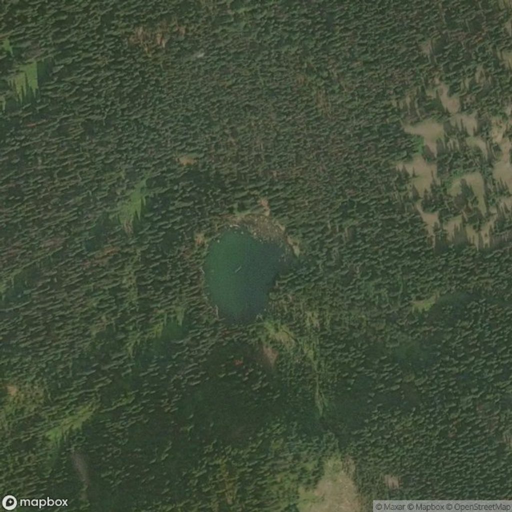
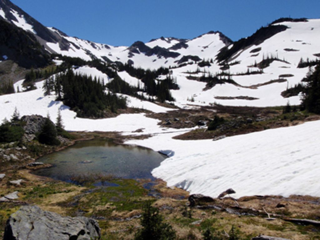
Scenery is why you’re here. You’ll get wide-open alpine meadows with July wildflowers, clear lakes (Grand Lake is the jewel; Gladys Lake is a worthy detour), and broad panoramas from Lillian Ridge. Keep an eye out for marmots (burrows dot the meadows) and black-tailed deer, especially near water. The landscape was carved by ice—U‑shaped valleys, rocky moraines, and those glassy basin lakes give away the glacial story.
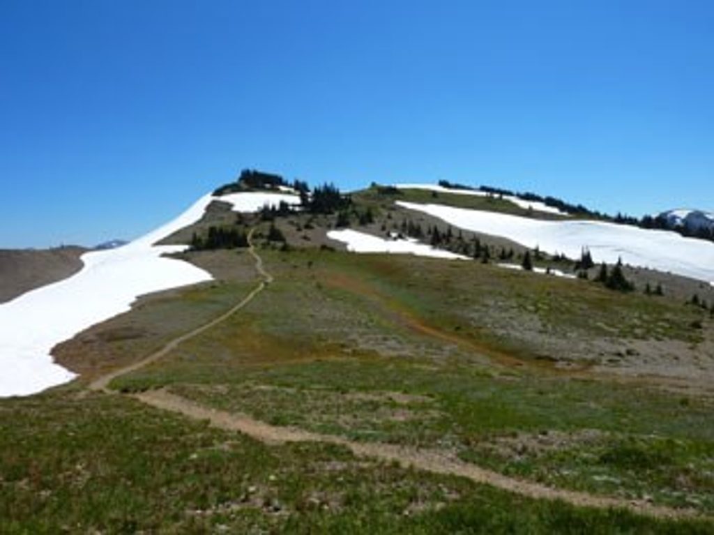
Trail character: the initial descent is steep with loose gravel, and sections on Lillian Ridge are rocky and narrow. Stream crossings pop up, and junctions with Deer Park/Grand Pass/Grand Valley trails can be confusing if you’re not paying attention. Footing is never technical, but it’s consistently demanding—save energy for the climb back to the ridge.
Best time to hike: July through September. Obstruction Point Road typically opens in summer, snow lingers late, and weather turns quickly in fall. July is prime for wildflowers; late summer brings more stable weather (and more bugs near the lakes—bring repellent). Start early for calmer winds and to buffer for alpine weather shifts.
Tips: check road conditions before committing to the drive—Obstruction Point Road is steep, narrow gravel. Bring layers for wind and sudden cold, sturdy boots for the loose/rocky tread, and enough water and calories for a sustained climb out of the valley. Carry a map or GPS—junctions are easy to blow past in this open terrain. If you want to go bigger, add Grand Pass; if you’d prefer shorter, turn around at Grand Lake instead of completing the loop.
Bottom line: this is a memorable, demanding loop that strings together lakes and a ridgeline in one alpine package. If you’re new to Olympic’s high country, this feels like cheating—in the best way—because you drive to the alpine and spend the day above treeline.
Park at Obstruction Point Trailhead at the end of Obstruction Point Road. The road is steep, narrow gravel—check seasonal road status and conditions before you go.
High-elevation exposure with fast-changing weather; steep, loose tread on the initial descent; rocky ridge sections; seasonal road access; bugs near lakes; and multiple junctions—carry a map/GPS and layers.
Place · 0 mi away
Place · 0.5 mi away
Place · 1.6 mi away
Place · 2.5 mi away
Challenging · 0 mi away
Challenging · 0 mi away
Challenging · 0 mi away
Moderate · 0 mi away

Parkwolf Tour Guide
