
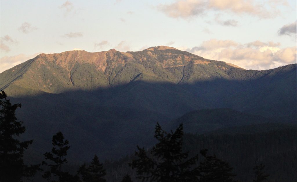
Place · 0.1 mi away
Easy
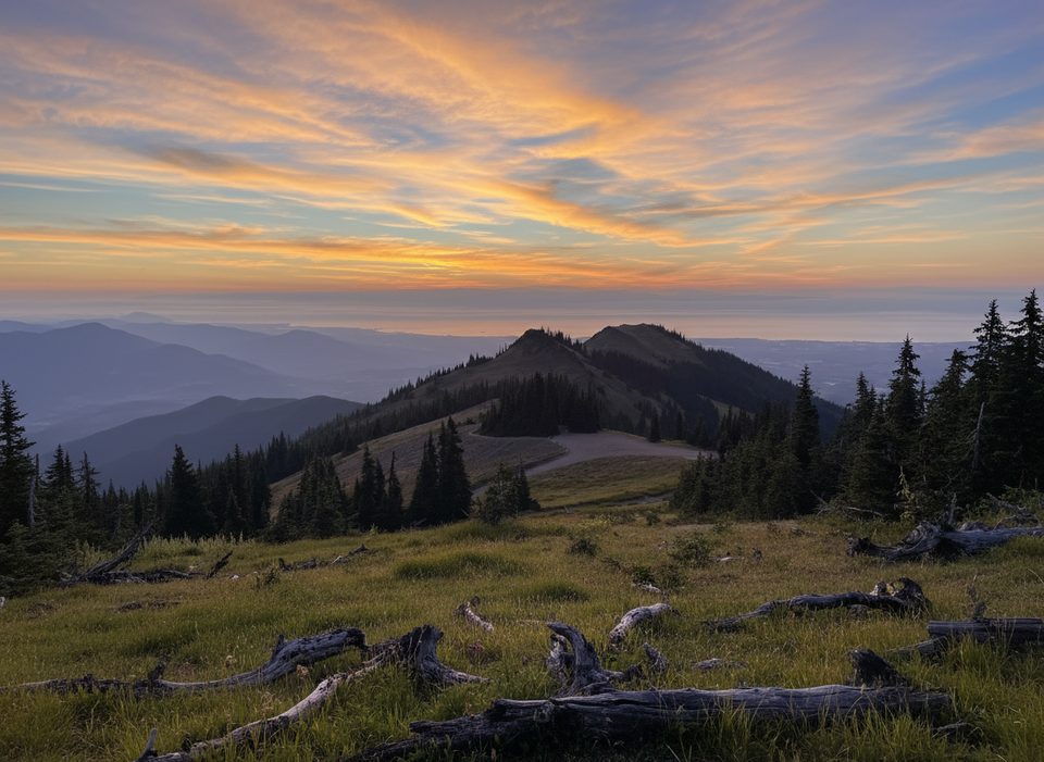
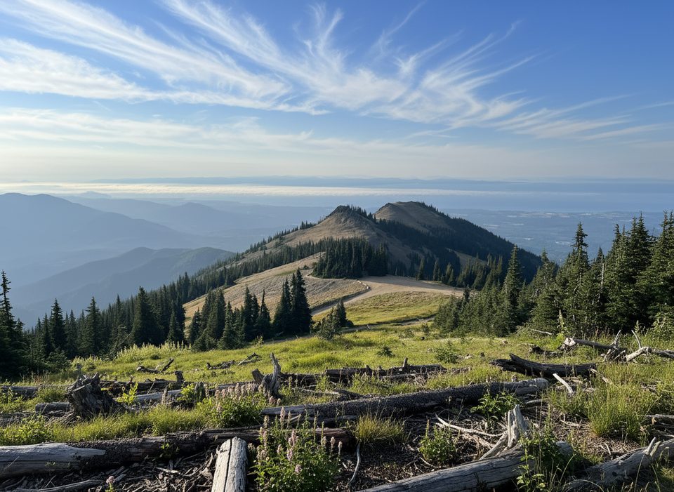
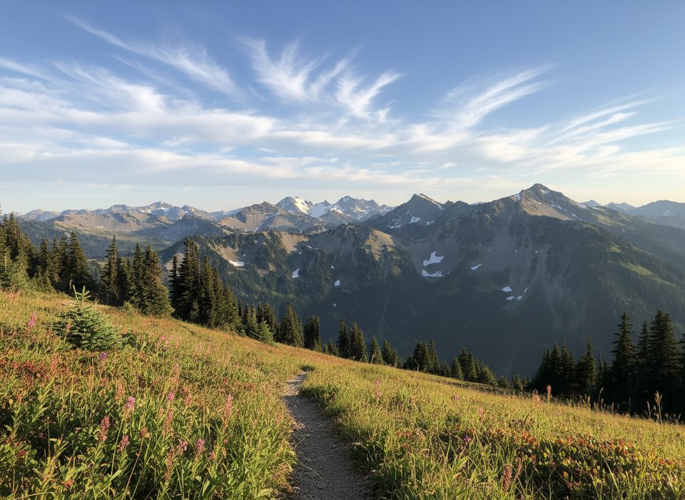
A half-mile total loop at the end of Deer Park Road, this little ridge-top wander dishes out oversized views with almost no effort. You’re circling Blue Mountain’s summit in the park’s famous rain shadow—drier, sunnier, and often clearer than the west side. On a crisp day you can spot the Strait of Juan de Fuca, Vancouver Island, the Cascades, Gray Wolf Ridge, and a sea of Olympic peaks and valleys.
The loop starts right by the parking area near Deer Park Campground and climbs gently along an old road before circling the summit. Expect about 100–170 feet of gain, well-graded tread, and a comfortable 20–40 minutes for most hikers. It’s family-friendly and well maintained. In late spring and summer, wildflowers line the path, and it’s common to see deer (appropriately) and the occasional rabbit. An interpretive pamphlet is often available at the trailhead, adding context to the ecology and geology.
This is the dry side of the Olympics. Thanks to the rain-shadow effect, places just north (like Sequim) see roughly 16 inches of annual rain versus around 140 inches on the west side—hence the open forests, sunnier skies, and frequent long-range visibility. You may also notice trees bearing scars from a notable 1988 fire.
Late spring through early fall, once the road melts out. Snow can linger into early summer. Summer brings the best bet for clear, far-reaching views and peak wildflowers. Evenings are magic—golden light and fewer people than Hurricane Ridge—just bring layers for wind and cooler temps.
The final 9 miles of Deer Park Road are gravel, narrow, and steep with limited pullouts—drive slowly and skip RVs or trailers. The nearby Deer Park Campground has basic amenities but no potable water, so fill up beforehand. Weather flips quickly at elevation; pack a wind layer even on warm days.
If the loop leaves you wanting a bigger workout, hikers commonly tackle a separate, longer outing from the same area along the Obstruction Point Trail toward Maiden Peak for broader panoramas.
Park at the end of Deer Park Road near Deer Park Campground/Blue Mountain; the loop starts by the summit parking area.
The last 9 miles of Deer Park Road are steep, narrow gravel with limited pullouts; no trailers/RVs. No potable water at Deer Park. Road closes for snow in the off-season and weather changes quickly—carry layers.
Place · 0.1 mi away
Place · 0.5 mi away
Place · 0.5 mi away
Place · 2.9 mi away
Easy · 0 mi away
Challenging · 0.5 mi away
Challenging · 0.5 mi away
Challenging · 0.5 mi away

Parkwolf Tour Guide
