
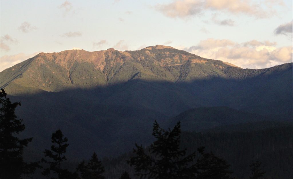
Place · 0.1 mi away
Easy
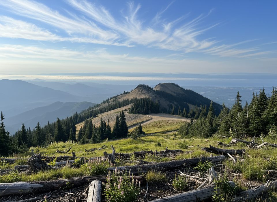
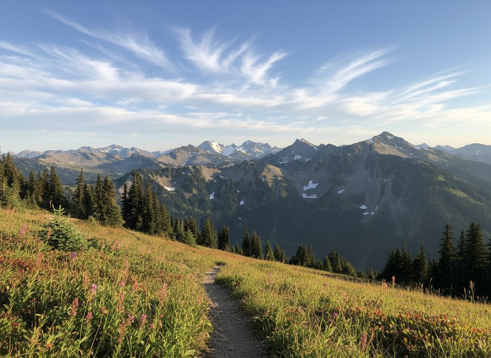
This is the quick win at Deer Park: a 0.5-mile total loop that pops up to Blue Mountain’s summit for sweeping views of the Cascades, Strait of Juan de Fuca, Vancouver Island, and the Olympic high country. Expect an easy grade and roughly 100–170 feet of total climbing—kid-friendly, but fully exposed.
Starting right by Deer Park Campground at the end of Deer Park Road, the loop climbs gently to the summit, then meanders back through sparse subalpine forest and along sections above steep drop-offs. You’re walking in the Olympic rain shadow—notice the drier, sunnier feel, open meadows, and a wildflower mix that’s very different from the soggy west side. Deer and wild rabbits are common. Interpretive materials are sometimes available to explain the geology and weather shaping this landscape.
Clear days deliver 360-degree vistas; on foggy days, those views disappear and the experience is more about the windy, open ridge. If you time it for dusk, you may catch city lights flickering across the water and low clouds pooling in the valleys—a high payoff for a tiny effort.
Late spring through early fall, when Deer Park Road is snow-free. Early summer is prime for wildflowers. Aim for a bluebird day—clouds can erase the long-distance scenery. Even in summer, the summit is breezy and exposed, so bring a layer.
Access is the crux. Deer Park Road is steep and narrow with the last 9 miles on gravel; it’s not suitable for RVs or trailers, and it closes with snow. Check road status before committing to the drive. There’s no drinking water at the trailhead, and pets and bikes aren’t allowed on this trail.
Park at Deer Park Campground at the end of Deer Park Road; the signed loop starts steps from the campground.
Deer Park Road is steep, narrow, and gravel for the last 9 miles; seasonal snow closures. Summit is exposed and windy with some steep drop-offs. No potable water; no pets or bikes.
Place · 0.1 mi away
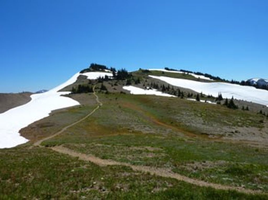
Place · 0.5 mi away
Place · 0.5 mi away
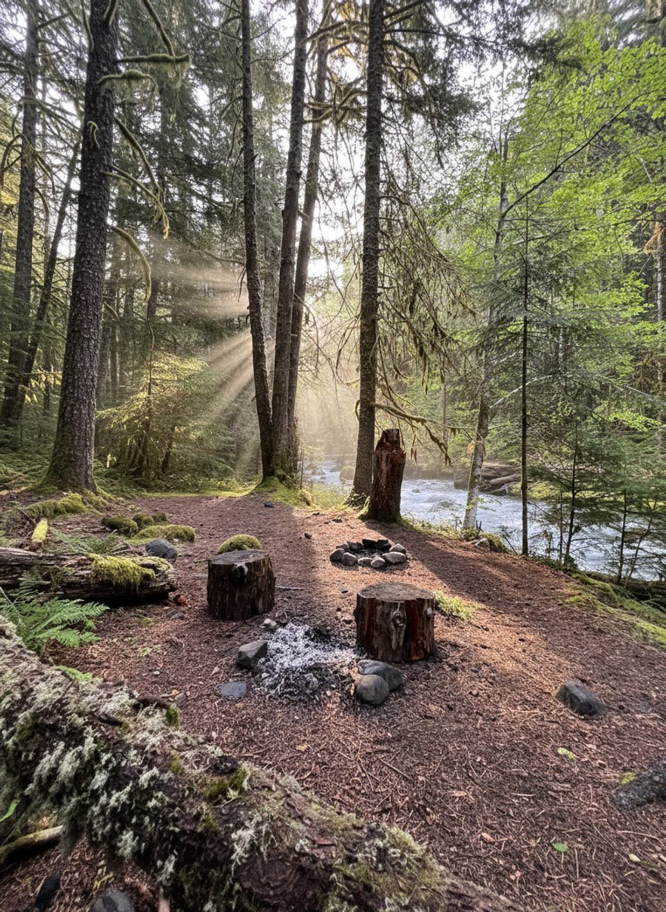
Place · 2.9 mi away
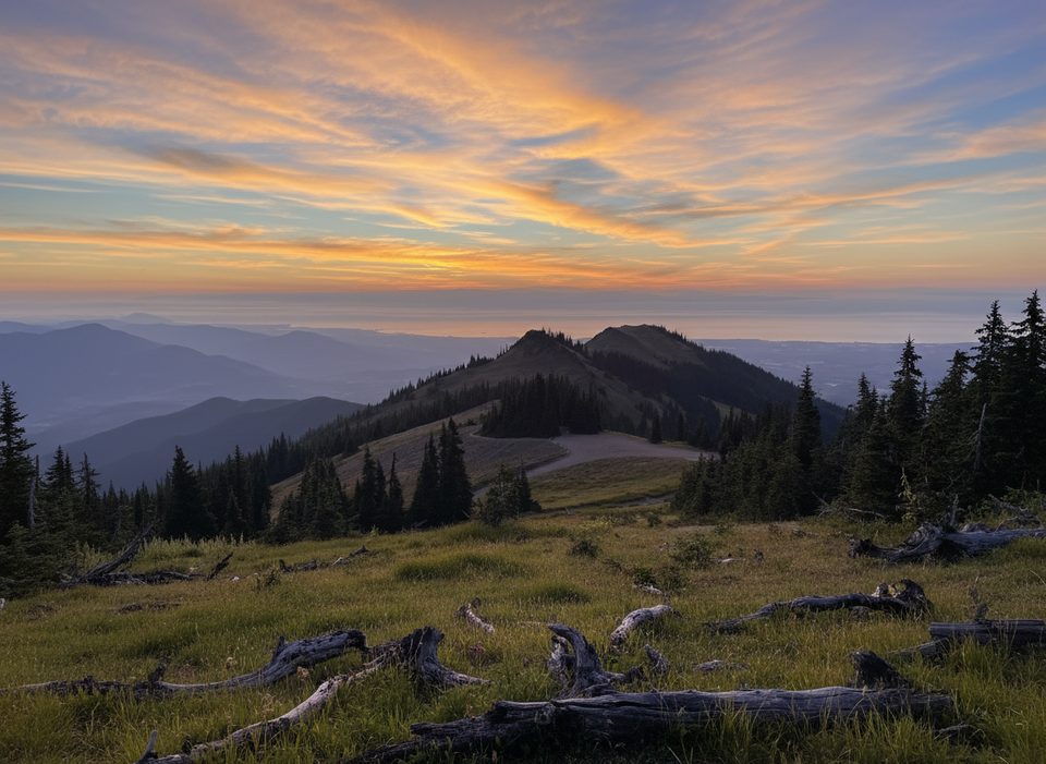
Easy · 0 mi away
Challenging · 0.5 mi away
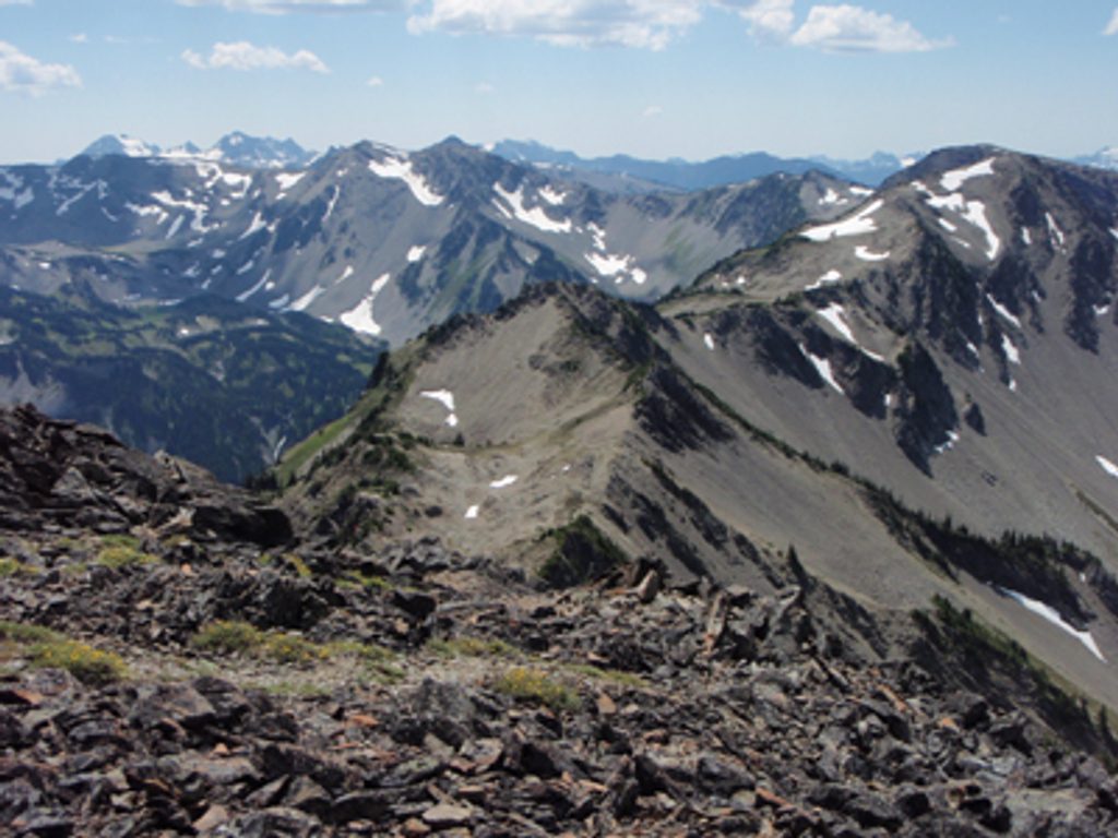
Challenging · 0.5 mi away
Challenging · 0.5 mi away

Parkwolf Tour Guide
