
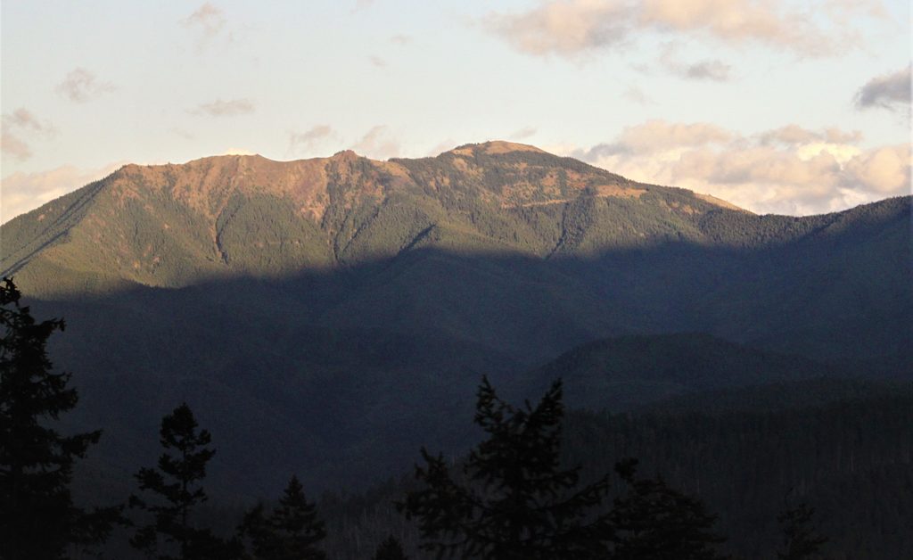
Place · 3.1 mi away
Challenging
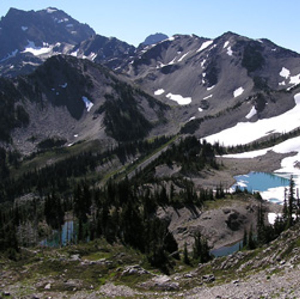
If you want a classic Olympic backcountry experience with real solitude, a wild river, and a big alpine payoff, Gray Wolf Pass delivers. It’s not easy—expect a serious climb and brushy stretches—but the mix of mossy valley, flowered meadows, and 6,200-foot pass views over the heart of the Olympics makes the work worth it.
There are a few ways to reach the pass. From the Lower Gray Wolf side, it’s about 11.5 miles one way to Gray Wolf Pass with roughly 4,150 feet of gain (from ~2,050 ft to ~6,200 ft). Many hikers approach via Slab Camp on FR 2870; that out-and-back is a very long effort often done as an overnight. Through-hikers continue over the pass to the Dosewallips River. Know your plan: point-to-point over the pass is elegant, but shuttles/logistics can be tricky.
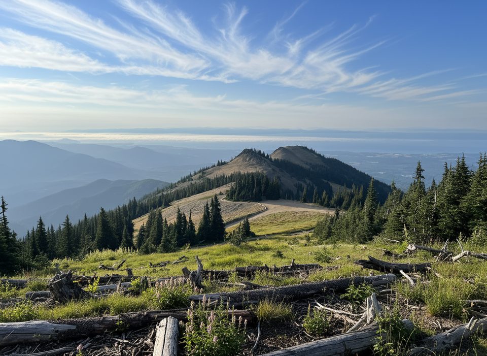
Early miles trace the Gray Wolf River through deep, quiet forest. Higher up, the trail breaks into subalpine meadows and switchbacks with streams, wildflowers, and seasonal rhododendron blooms. Near the pass, tread gets steeper and rougher, and you’ll feel the exposure and occasional loose rock. From the top, expect sweeping views toward big Olympic summits like Deception and Mystery. Wildlife sightings are possible; bears are around, so store food properly.
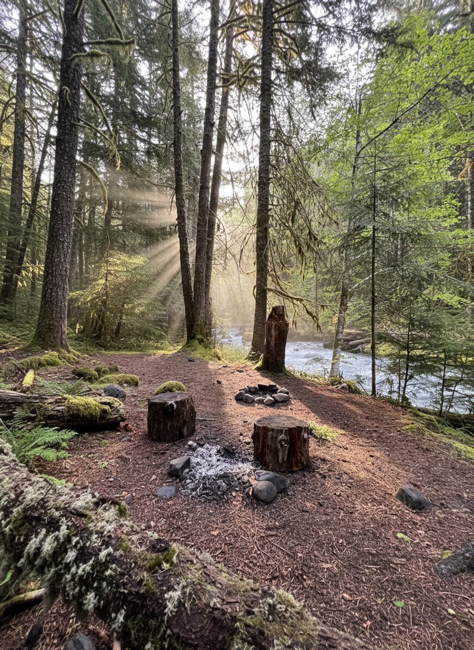
Established camps include Three Forks, Gray Wolf Camp, Camp Ellis, and Falls Camp. Water is readily available from the river and tributaries—always filter. There’s a toilet at Gray Wolf Camp; elsewhere, practice Leave No Trace. Bear canisters are required in subalpine areas where proper hangs aren’t possible. No campfires above 3,500 feet.
This route is remote and can be brushy with blowdowns that slow progress. Expect multiple river/stream crossings; some are bridged, others may require wading during high water. Snow often lingers into early summer near the pass. The path can be faint in spots—carry a good map and know how to use it.
Early July through October is the sweet spot. Spring can be lush but crossings run higher and snow can block the upper miles. For photography and cooler temps, start early; sunsets from the pass are gorgeous if you’re camping nearby. Crowds are minimal compared to the park’s marquee hikes.
Day hiking doesn’t require a wilderness permit, but overnight trips in the park do. Group size is limited to 12. Bear canisters may be required in subalpine zones. Stock is allowed on much of the route, but some lower segments prohibit it—check current restrictions before you go.
Most hikers start from Slab Camp Trailhead on Forest Road 2870 to connect with the Gray Wolf Trail; a Northwest Forest Pass may be required for parking on Forest Service land. The Lower Gray Wolf Trailhead is another access point, though historic washouts have affected connections between lower and upper segments—check current conditions before committing.
A demanding, undersung classic for experienced hikers and backpackers who want the real Olympic mix: wild river, big climb, and alpine views—with hardly anyone else around.
Park at Slab Camp Trailhead on FR 2870 (Northwest Forest Pass may be required). Lower Gray Wolf Trailhead is another access point; check for washouts affecting connections between lower and upper segments.
Remote, strenuous route with river crossings, brushy/overgrown sections, lingering early-season snow near the pass, and some loose rock/exposure; bears present—use proper food storage.
Place · 3.1 mi away
Place · 3.3 mi away
Place · 3.5 mi away
Place · 4.2 mi away
Challenging · 0 mi away
Challenging · 2.9 mi away
Challenging · 3.1 mi away
Easy · 3.1 mi away

Parkwolf Tour Guide
