Parking
Slab Camp/Deer Ridge Trailhead parking is at the end of NF-2875. From US 101 just west of Sequim, follow Taylor Cutoff Road to Lost Mountain Road, then Slab Camp Road and NF-2875. There is no restroom or potable water at the trailhead.
Olympic National Park, WA
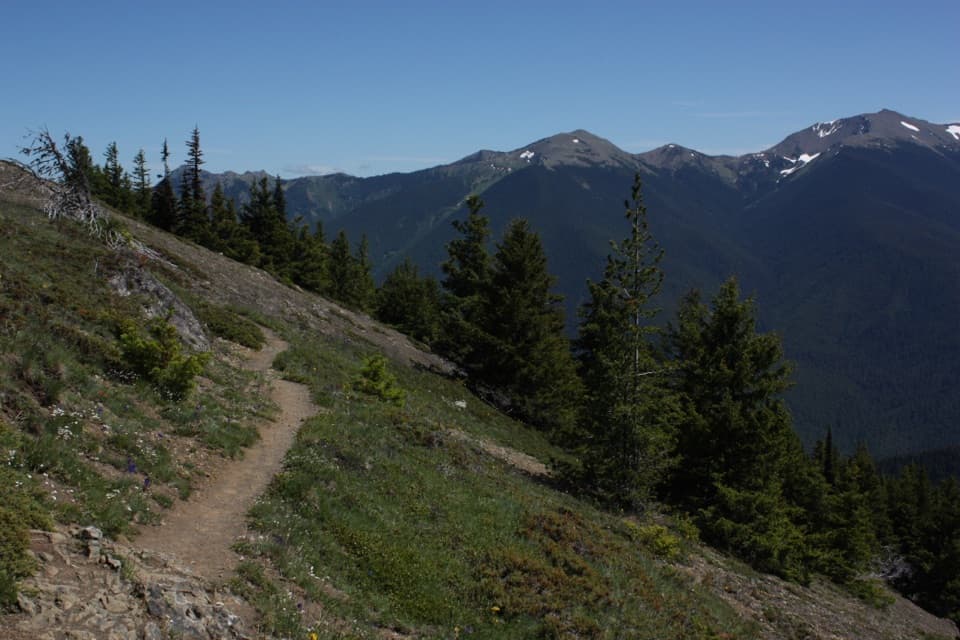
Rhododendrons give way to open ridges above the Gray Wolf valley.
Overview
Map & elevation
Plan your hike

The highest, rockiest slopes around here are a summer buffet for grizzly bears.
Olympic Tour Guide
Parkwolf is a GPS audio tour guide for Olympic National Park. As you drive, it chimes in with what’s ahead: hidden gems, upcoming stops, history, geology, and wildlife, right through your car’s speakers.
See the Olympic audio tourMore stories near here in the app
“Fantastic app with many points of information… It’s great to just turn on while you’re driving and it gives you an audio tour of the national Park. We love it!!!!”


Trail guide
Deer Ridge Trail #846 is a point-to-point ridge walk from the Slab Camp/Deer Ridge Trailhead to Deer Park. Published one-way distances range from 4.8 to 5.2 miles, so plan for about five miles. Expect roughly 2,800 feet of climbing and allow about five hours one way. Arrange a shuttle at Deer Park, or turn around at the Gray Wolf overlook for a shorter out-and-back; walking all the way back makes a nearly ten-mile day.
The path leaves the trailhead through a meadow and climbs onto a ridgeline. The first 1.5 miles are gentler and pass through spring and early-summer rhododendrons; then the grade gets steeper. Another stretch through open forest offers few views before a final steep push and switchback reach the Gray Wolf valley overlook. Two benches sit above the view. One remembers Phil Hall, a Sequim resident who worked to keep the trail accessible and maintained. The overlook is the natural turnaround if you are not continuing to Deer Park. For a photo, keep some of the rocky tread in the foreground and let the valley open behind it.
From the benches, the trail continues uphill for about 0.6 mile to the park boundary. Beyond it, the route drops briefly, then climbs through open rockfields and meadows. Stonecrop and phlox grow among the rocks; chocolate lilies, columbine, buttercup and lupine appear in the meadows. About 1.2 miles past the boundary, the trail meets Three Forks Trail. Follow its short connector to the Deer Park campground and parking area.
Deer Park sits in the drier eastern Olympic rain shadow. During the last ice age, glaciers filled the valleys while some high ridges remained isolated like islands, helping preserve species found only on the Olympic Peninsula. Olympic bellflower grows in the Deer Park highlands, alongside other locally distinctive plants and animals. Marmots were once common here but are now rarely seen.
Wildlife
 710 sightingsOlympic MarmotMost seen around 11 AMSighting map
 30 sightingsHumpback WhaleMost seen around 6 PMSighting map
 42 sightingsGrey WhaleMost seen around noonSighting map
 23 sightingsMountain LionMost seen around 8 PMSighting map
 71 sightingsMountain GoatMost seen around 7 AMSighting map
 306 sightingsBald EagleMost seen around 11 AMSighting map
Sighting maps show where each species has been reported across Olympic. Wildlife moves, so no sighting is guaranteed.
Keep exploring
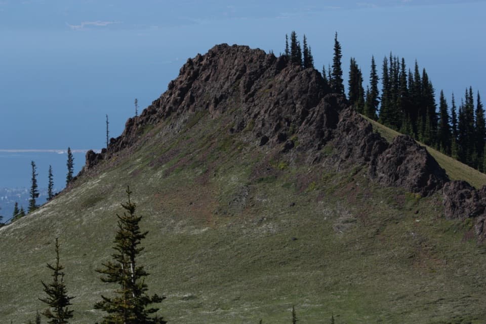 EasyRain Shadow Loop0.5 mi · 45 min · 3.2 mi awayA short summit climb for Blue Mountain’s wide-open views.
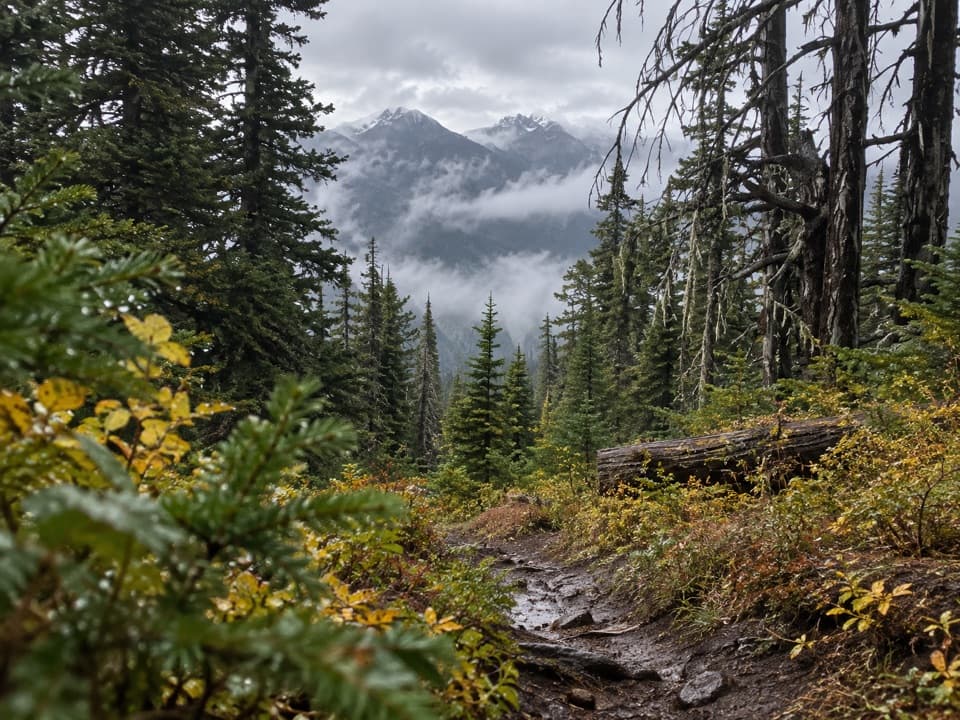 ChallengingThree Forks Trail8.5 mi · 7.5 hr · 3.2 mi awayA steep drop into the valley, then the whole climb back.
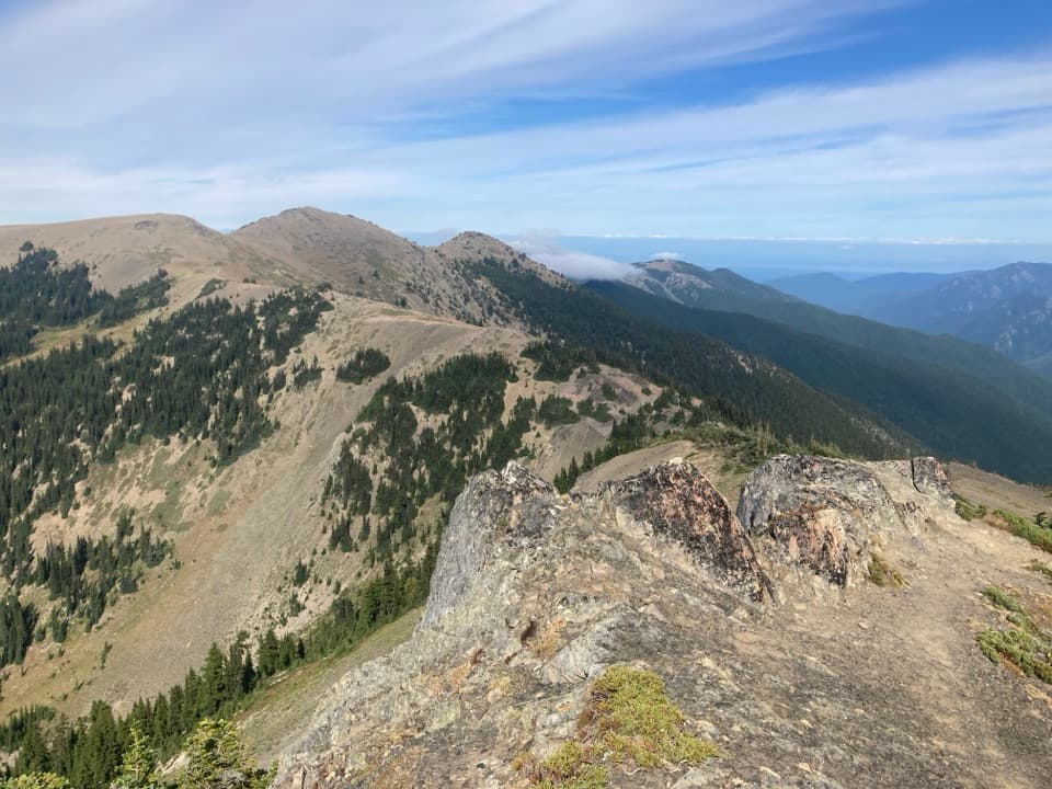 ModerateElk Mountain Trail11 mi · 7.5 hr · 3.5 mi awayEleven ridge miles lead to Elk Mountain and views over the Strait.
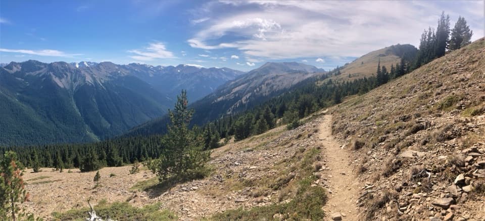 ChallengingMaiden Peak Trail7.2 mi · 5 hr · 3.5 mi awayA steep climb trades forest shade for open slopes and rocky views.
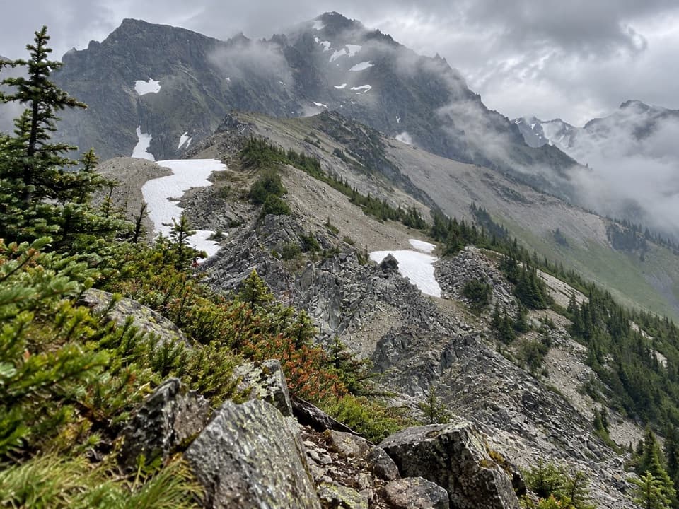 ChallengingUpper Graywolf River Trail9.1 mi · 8.5 hr · 4.1 mi awayA hard river-valley climb into the high country at Gray Wolf Pass.
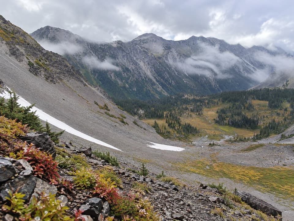 ChallengingCameron Creek Trail7 mi · 5.5 hr · 4.1 mi awayA creekside climb into brushy high-country meadows.
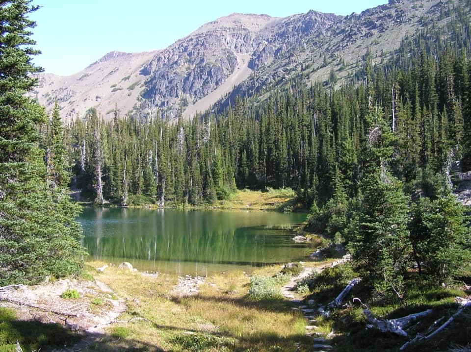 ChallengingRoyal Basin Trail16 mi · 8.5 hr · 6.6 mi awayMake the long climb for a lake, Shelter Rock, and alpine tarns.
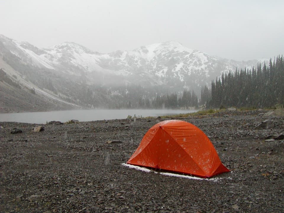 ChallengingCedar Lake Way Trail4.2 mi · 5 hr · 8.5 mi awayA steep, brushy climb to a tucked-away mountain lake.
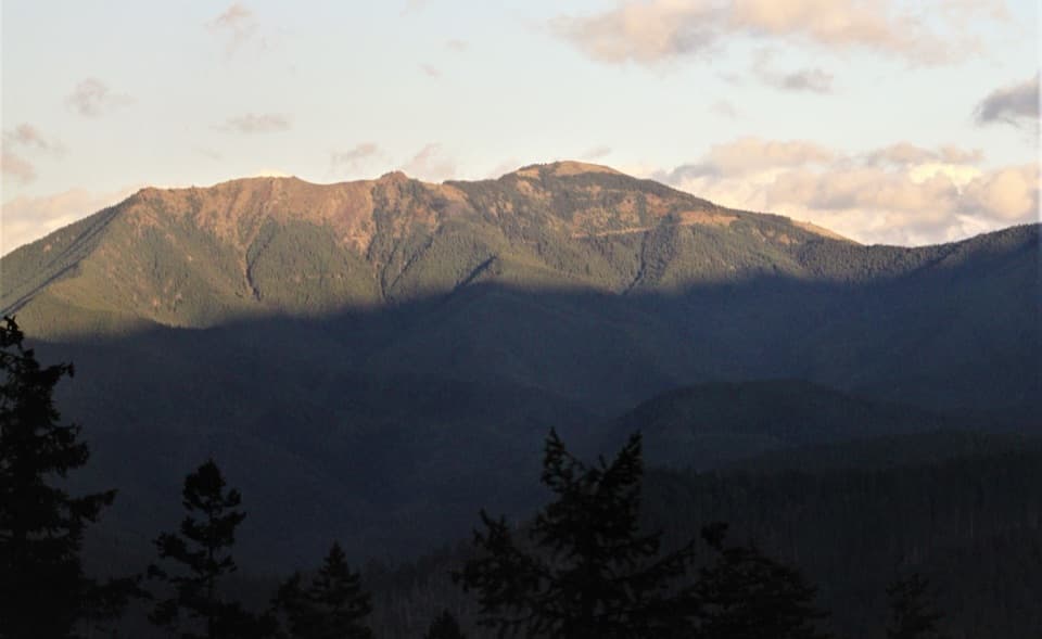 Sight · 3.1 mi awayBlue MountainA half-mile loop to broad Strait and Olympic Mountain views.
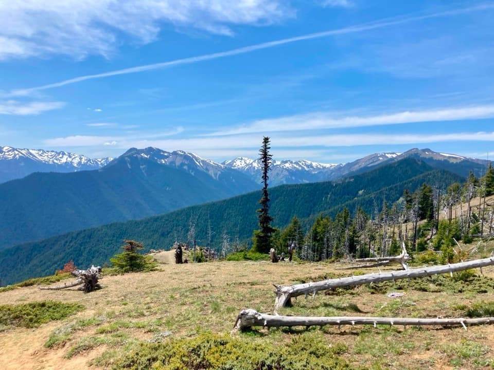 Campground · 3.2 mi awayDeer Park CampgroundA 5,400-foot camp with mountain views and a steep gravel approach.
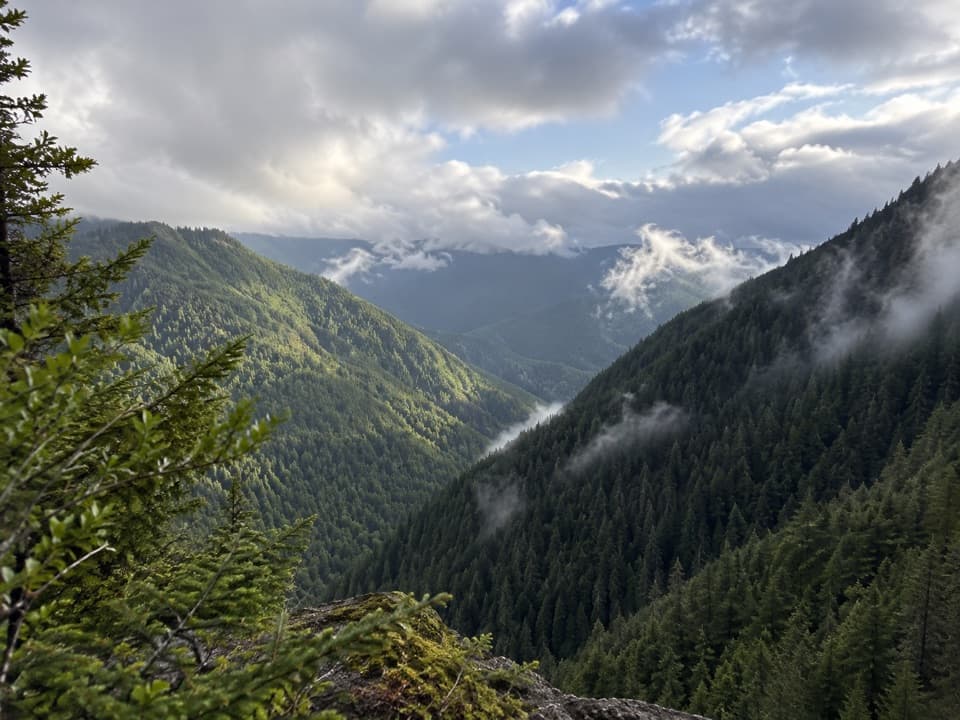 Sight · 8.8 mi awayWater Journey OverlookA quick mountain view on the way up Hurricane Ridge Road.
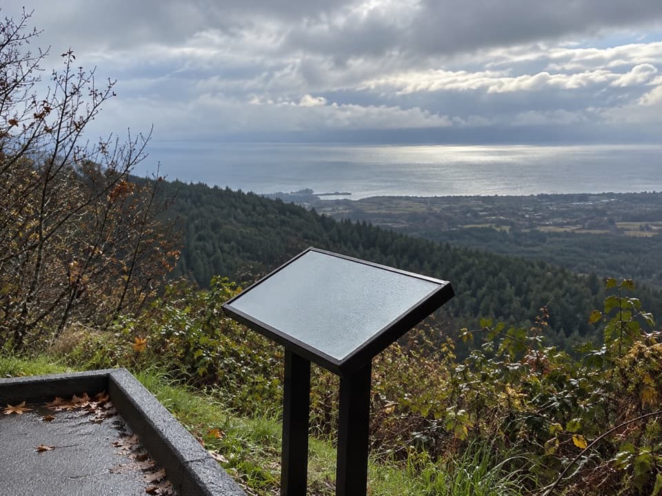 Sight · 8.9 mi awayNorth Peninsula OverlookA roadside pause for the Strait and a forested valley.
 Sight · 9.8 mi awayMorse Creek OverlookA quick roadside geology stop with an ice-age lake and pillow basalt.
Parkwolf’s Olympic ranking

The audio tour guide for the drive, plus offline maps, trails, and wildlife heatmaps for when the signal drops.