Parking
Three Forks is a wilderness junction, not a drive-up trailhead. Reach it on foot via the Three Forks Trail from Deer Park or the Gray Wolf River Trail from the west.
Olympic National Park, WA
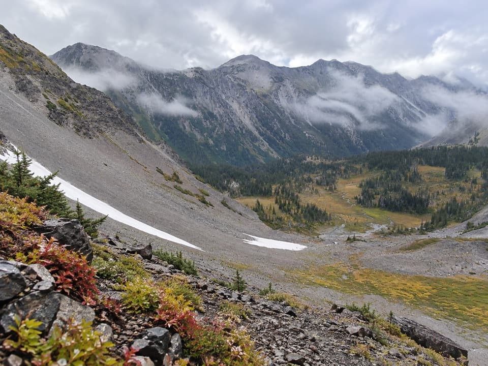
A creekside climb into brushy high-country meadows.
Overview
Map & elevation
Plan your hike

The highest, rockiest slopes around here are a summer buffet for grizzly bears.
Olympic Tour Guide
Parkwolf is a GPS audio tour guide for Olympic National Park. As you drive, it chimes in with what’s ahead: hidden gems, upcoming stops, history, geology, and wildlife, right through your car’s speakers.
See the Olympic audio tourMore stories near here in the app
“Fantastic app with many points of information… It’s great to just turn on while you’re driving and it gives you an audio tour of the national Park. We love it!!!!”


Trail guide
Cameron Creek Trail is a 7.0-mile one-way route from Three Forks to the shared Grand Pass and Cameron Pass trail junction. It follows Cameron Creek uphill through montane forest and out into subalpine meadows. This is a rough leg of a bigger wilderness trip, not a quick day walk. Budget about five to six hours for this stretch; turning back means walking it again.
The first mile is easier to follow and stays near the creek. The route crosses the water twice; brush thickens after the first crossing, and about a mile later the second crossing uses a footlog. Farther up, forest opens into meadows where the tread can fade between openings. The climb comes in steeper bursts, and the park says map-and-compass skills may be needed where snow or faint tread leaves little to follow.
Engelmann spruce and creekside forest give way to high-country meadows near the route's upper end. Cameron Creek Trail finishes at a junction with routes toward Grand Pass and Cameron Pass. The climb to Grand Pass and the Cameron Basin route continue beyond this trail's endpoint; don't count either as part of the 7.0 miles here.
The park's typical season is late June through October, but snow can cover high sections at any time of year. Heavy rain or snowmelt can make either creek crossing difficult or impassable. Three Forks, Lower Cameron and Upper Cameron are backcountry campsites; there are no toilets, and creek water needs treatment. Overnight camping requires a wilderness permit and bear canister. Pets aren't allowed, and fires are prohibited above 3,500 feet.
Wildlife
 710 sightingsOlympic MarmotMost seen around 11 AMSighting map
 30 sightingsHumpback WhaleMost seen around 6 PMSighting map
 42 sightingsGrey WhaleMost seen around noonSighting map
 23 sightingsMountain LionMost seen around 8 PMSighting map
 71 sightingsMountain GoatMost seen around 7 AMSighting map
 306 sightingsBald EagleMost seen around 11 AMSighting map
Sighting maps show where each species has been reported across Olympic. Wildlife moves, so no sighting is guaranteed.
Keep exploring
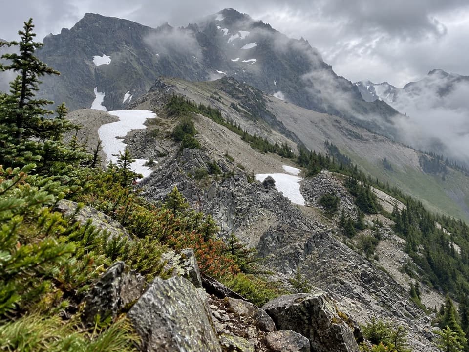 ChallengingUpper Graywolf River Trail9.1 mi · 8.5 hr · At the trailheadA hard river-valley climb into the high country at Gray Wolf Pass.
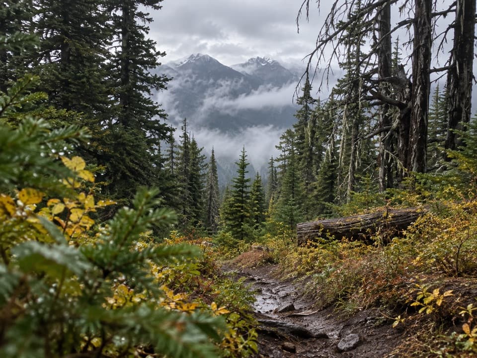 ChallengingThree Forks Trail8.5 mi · 7.5 hr · 2.5 mi awayA steep drop into the valley, then the whole climb back.
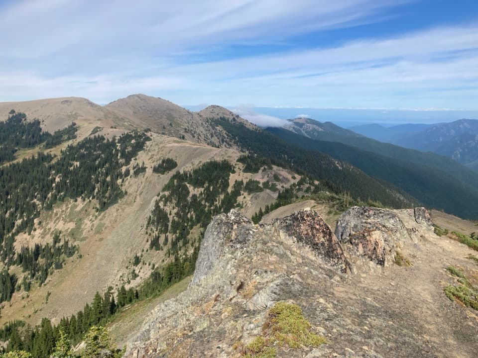 ModerateElk Mountain Trail11 mi · 7.5 hr · 2.6 mi awayEleven ridge miles lead to Elk Mountain and views over the Strait.
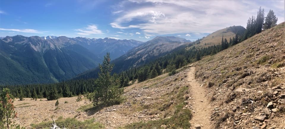 ChallengingMaiden Peak Trail7.2 mi · 5 hr · 2.6 mi awayA steep climb trades forest shade for open slopes and rocky views.
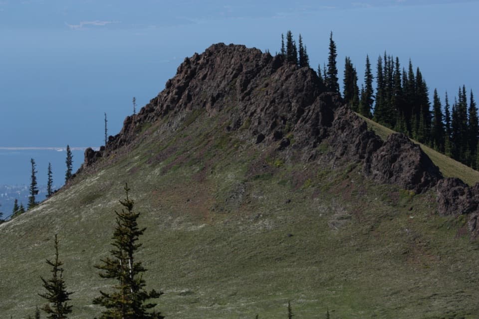 EasyRain Shadow Loop0.5 mi · 45 min · 3 mi awayA short summit climb for Blue Mountain’s wide-open views.
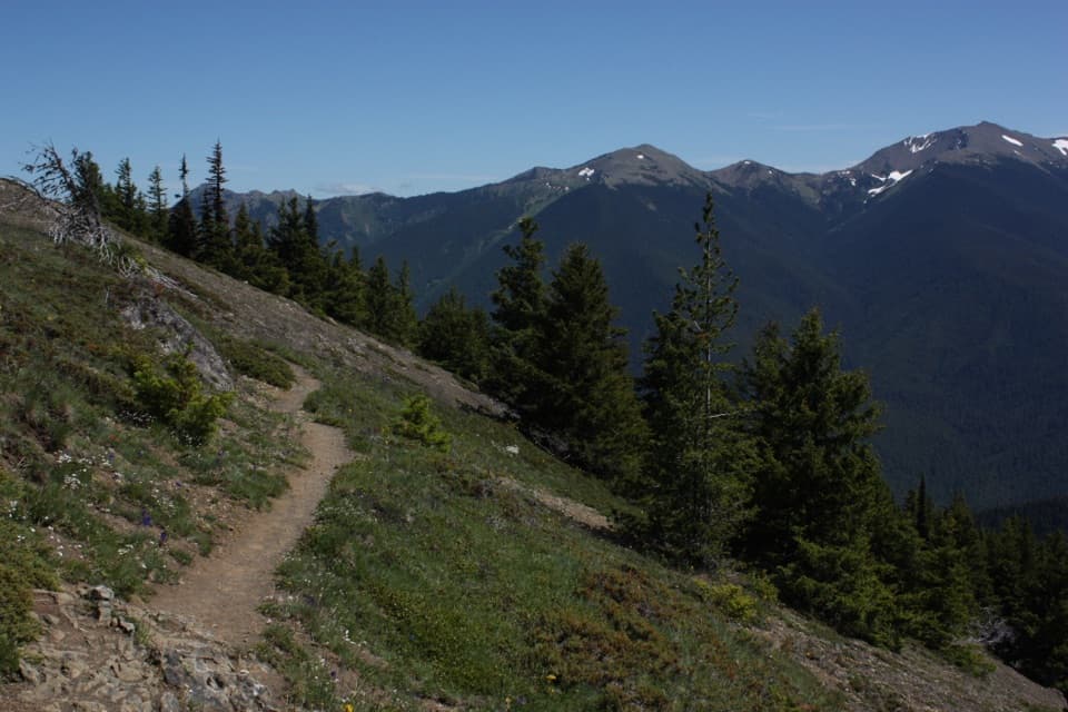 ChallengingDeer Ridge Trail4.8 mi · 5 hr · 4.1 mi awayRhododendrons give way to open ridges above the Gray Wolf valley.
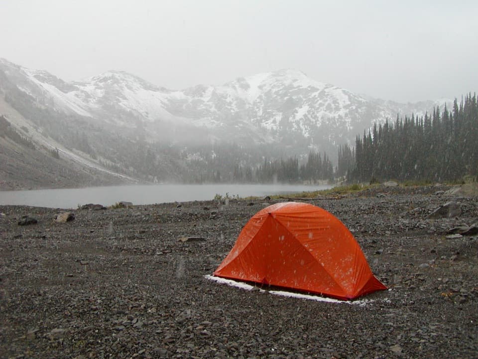 ChallengingCedar Lake Way Trail4.2 mi · 5 hr · 4.4 mi awayA steep, brushy climb to a tucked-away mountain lake.
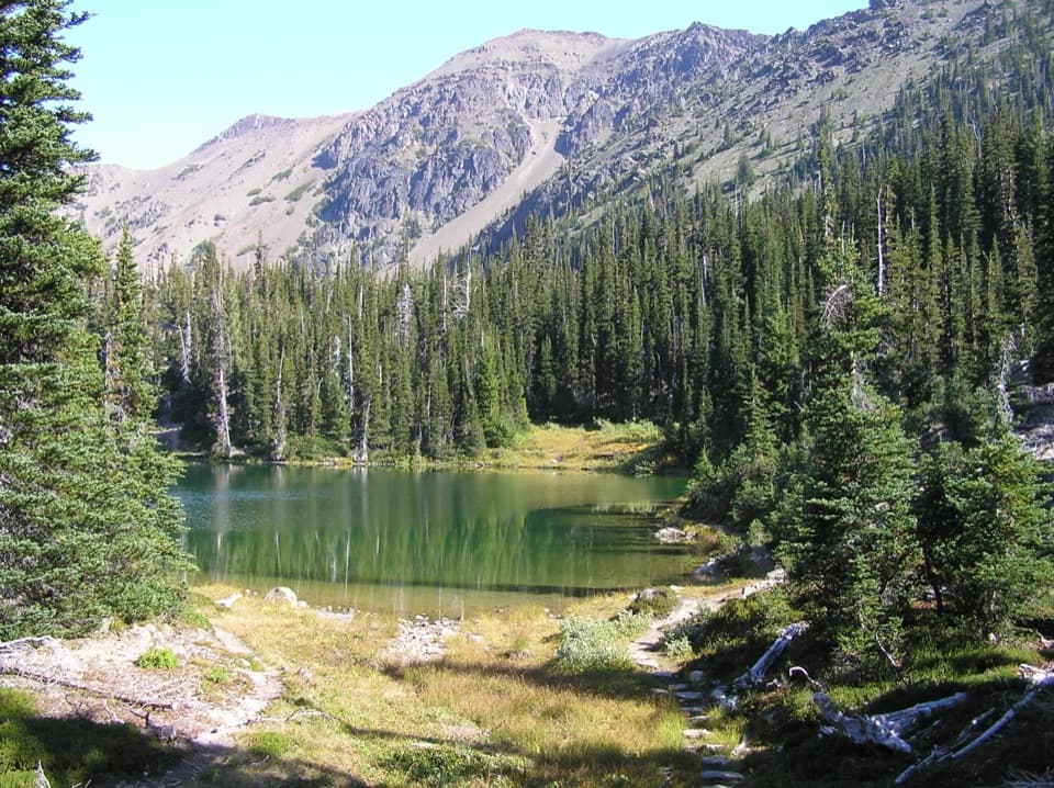 ChallengingRoyal Basin Trail16 mi · 8.5 hr · 5.5 mi awayMake the long climb for a lake, Shelter Rock, and alpine tarns.
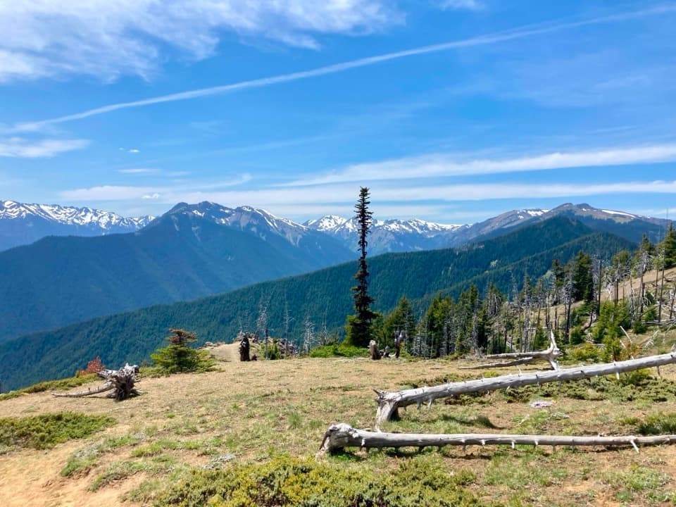 Campground · 2.4 mi awayDeer Park CampgroundA 5,400-foot camp with mountain views and a steep gravel approach.
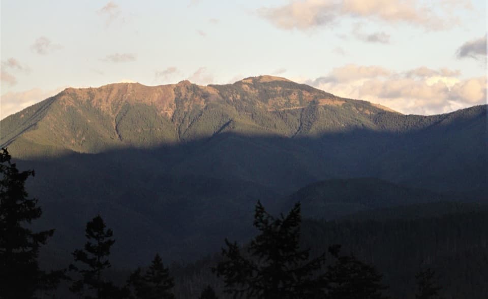 Sight · 2.9 mi awayBlue MountainA half-mile loop to broad Strait and Olympic Mountain views.
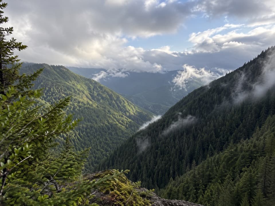 Sight · 9 mi awayWater Journey OverlookA quick mountain view on the way up Hurricane Ridge Road.
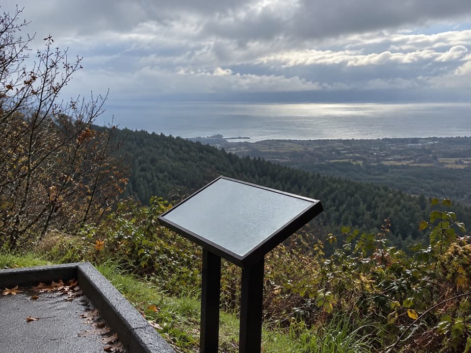 Sight · 9 mi awayNorth Peninsula OverlookA roadside pause for the Strait and a forested valley.
 Sight · 9.1 mi awayMorse Creek OverlookA quick roadside geology stop with an ice-age lake and pillow basalt.
Parkwolf’s Olympic ranking

The audio tour guide for the drive, plus offline maps, trails, and wildlife heatmaps for when the signal drops.