Parking
Use the Kalaloch Campground Loop A beach-access day-use lot just north of Kalaloch Lodge, off US 101. Follow the short path and stairs from the lot down to the shore.

Olympic National Park, WA
Tree roots and tide pools along an easy beach walk.
Overview
Map & elevation
Plan your hike

The highest, rockiest slopes around here are a summer buffet for grizzly bears.
Olympic Tour Guide
Parkwolf is a GPS audio tour guide for Olympic National Park. As you drive, it chimes in with what’s ahead: hidden gems, upcoming stops, history, geology, and wildlife, right through your car’s speakers.
See the Olympic audio tourRecorded for this trailhead
Kalaloch Beach and the Tree of Life“You're nearing the campground access to Kalaloch Beach, a broad sandy shore for a walk beside Pacific surf. The Tree of Life is a short detour along the beach from the campground stairs.”
Plays as you drive up to this trailhead in the Parkwolf Olympic Tour Guide.
More stories near here in the app
“Fantastic app with many points of information… It’s great to just turn on while you’re driving and it gives you an audio tour of the national Park. We love it!!!!”


Trail guide
Kalaloch to Browns Point is a beach out-and-back from the campground to a rocky point and its tide pools. The mapped version is about 3.2 miles round trip, with roughly 25 feet of ascent. Sand and pebbles make the walking less even than the small climb suggests; allow around two hours, plus time at the water. Published round-trip totals range from about 3.2 to 4 miles. This version follows the campground access to Browns Point and back; the reason for the difference remains unclear.
Park at the day-use beach-access area in Kalaloch Campground Loop A, just north of Kalaloch Lodge off US 101. A short asphalt path and a large stairway lead down to the pebbled shore. This access is the trailhead; the route starts at the beach below.
Walk north on open sand and rounded pebbles below coastal bluffs and scattered driftwood. Near the route, a landmark known as Tree Root Cave or the Tree of Life is a Sitka spruce whose exposed roots span an eroding hollow in the bluff. Destruction Island and its lighthouse sit offshore and may be visible on clear days. Gulls and bald eagles are among the coastal birds reported along this shore, though sightings vary.
Wildlife
 710 sightingsOlympic MarmotMost seen around 11 AMSighting map
 30 sightingsHumpback WhaleMost seen around 6 PMSighting map
 42 sightingsGrey WhaleMost seen around noonSighting map
 23 sightingsMountain LionMost seen around 8 PMSighting map
 71 sightingsMountain GoatMost seen around 7 AMSighting map
 306 sightingsBald EagleMost seen around 11 AMSighting map
Sighting maps show where each species has been reported across Olympic. Wildlife moves, so no sighting is guaranteed.
Keep exploring
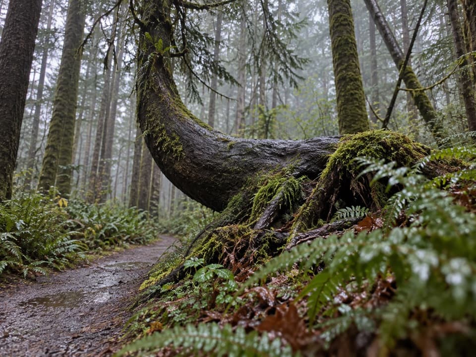 EasyKalaloch Nature Trail1 mi · 36 min · 0.2 mi awayMossy forest and a creek view on this easy Kalaloch loop.
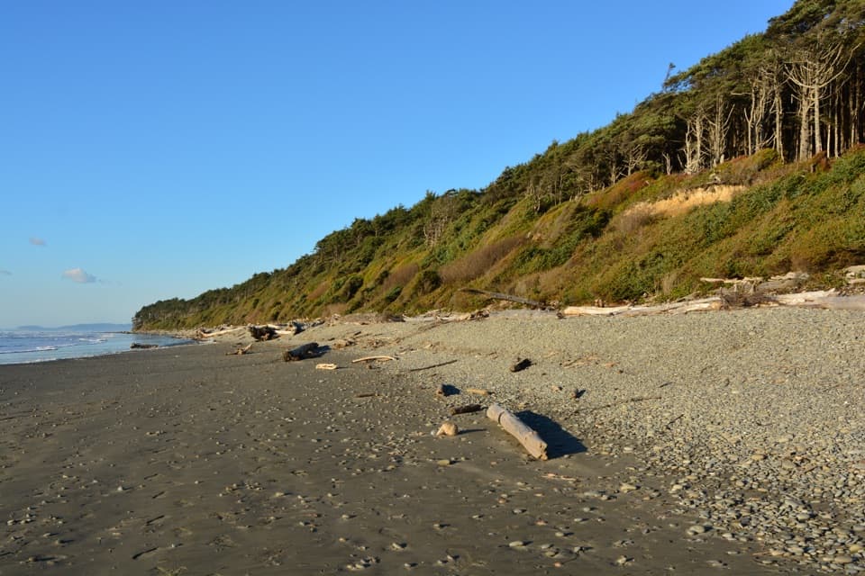 EasyBeach 2 Trail0.2 mi · 30 min · 1.6 mi awayA steep forest path drops to a driftwood-lined beach.
 ModerateBeach 3 Trail0.3 mi · 45 min · 2 mi awayA steep forest stairway drops to tidepools and rocky shore.
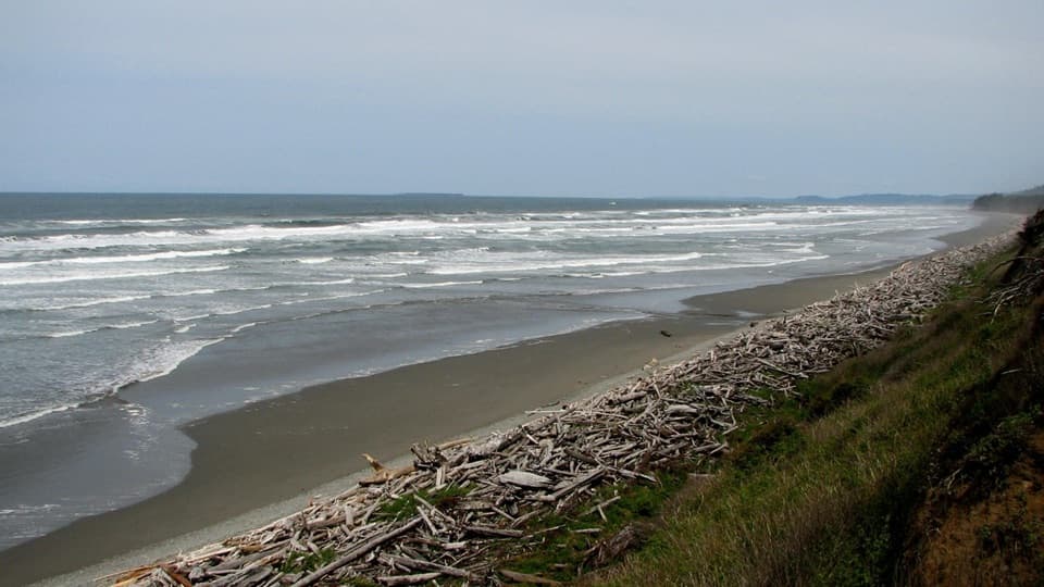 EasyBeach 1 Trail0.3 mi · 30 min · 2.4 mi awayA short spruce descent ends on a shore piled with drift logs.
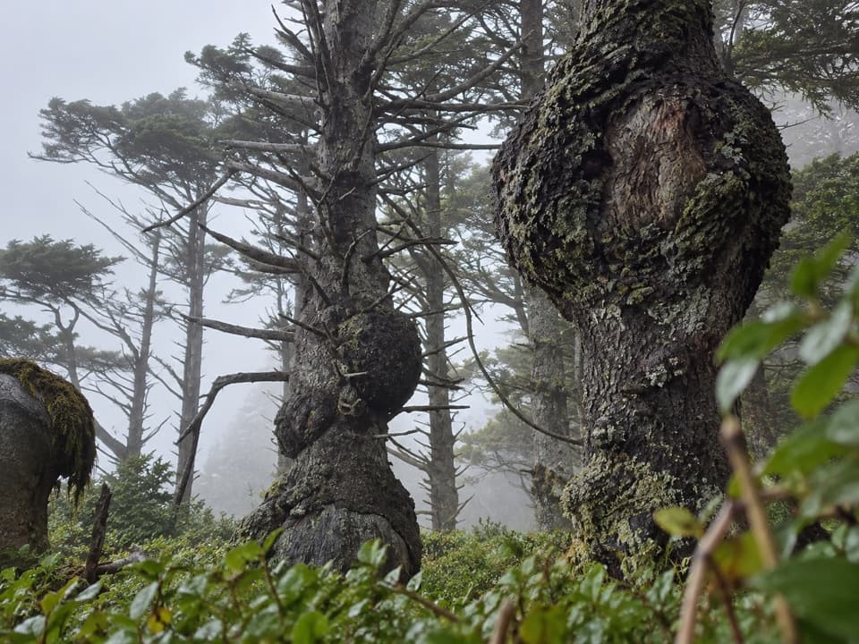 EasySpruce Burl Trail0.2 mi · 18 min · 2.4 mi awayA tiny forest loop with big spruce burls to spot.
 ModerateBeach 4 Trail0.4 mi · 45 min · 2.7 mi awayA stairway to Kalaloch tide pools and a rugged Pacific beach.
 EasyBig Cedar Trail (Kalaloch)0.3 mi · 20 min · 4.4 mi awayThe storm-split cedar is only the first stop on this short walk.
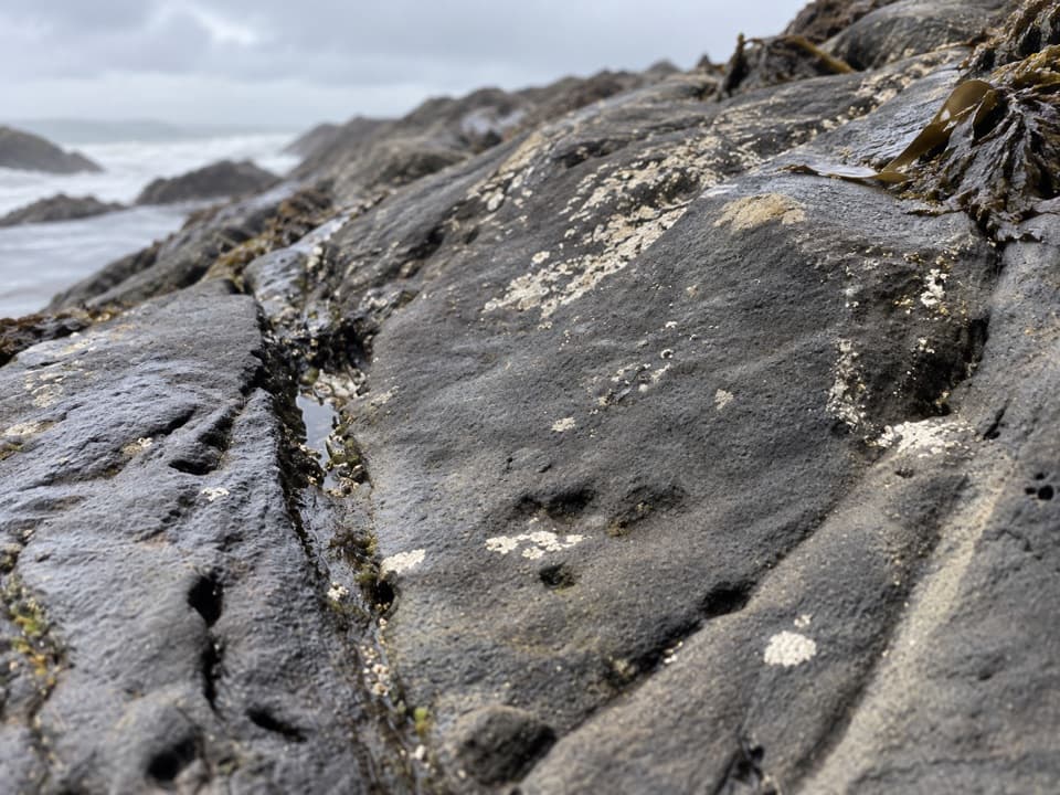 EasyBeach 6 Nature Trail0.4 mi · 21 min · 6.1 mi awayA brief forest descent to Beach 6’s rocky shore.
 Campground · At the trailheadKalaloch CampgroundSome sites face the Pacific; others sit among the trees.
 Sight · 0.1 mi awayTree of LifeA Sitka spruce with roots stretched above a bluff cave.
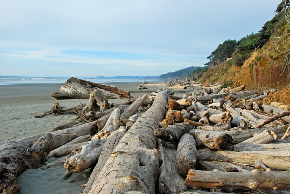 Beach · 0.2 mi awayKalaloch BeachWalk a driftwood-strewn shore and watch Pacific surf.
 Lodging · 0.5 mi awayKalaloch LodgeStay beside the Pacific in a lodge built from driftwood timber.
 Ranger station · 0.8 mi awayKalaloch Ranger StationTide charts, friendly coastal advice, and a park passport stamp.
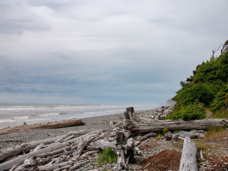 Beach · 1.6 mi awayKalaloch Beach 2A short, steep walk leads to burl-marked spruces and a tiered beach.Beach · 2 mi awayKalaloch Beach 3Low-tide pools reward the short, steep path down to the coast.Beach · 2.5 mi awayKalaloch Beach 1A short spruce trail drops to a beach where driftwood rules.
Parkwolf’s Olympic ranking

The audio tour guide for the drive, plus offline maps, trails, and wildlife heatmaps for when the signal drops.





