Parking
The trailhead is at the end of Hurricane Hill Road. The small lot can fill; overflow parking is available at Picnic Area B.

#2 of 148 trails in Olympic
Olympic National Park, WA
Paved switchbacks to Bailey Range peaks and the Strait.
Overview
Hurricane Hill Trail is a roughly 3.3-mile out-and-back from the end of Hurricane Hill Road to the summit of Hurricane Hill, with about 650 feet of climbing. Allow 2 to 3 hours with stops. The broad route follows the south side of the ridge, then climbs to an open summit with views toward both the Olympic peaks and the Strait of Juan de Fuca. Go for the panorama, not a flat stroll: the upper climb is steep and one sidehill stretch has a real drop beyond its outer edge. The first half mile is a sensible turnaround if you want the gentler part without committing to the summit.
 Parkwolf’s verdictIs this the hike for you?
Map & elevation
Plan your hike

The highest, rockiest slopes around here are a summer buffet for grizzly bears.
Olympic Tour Guide
Parkwolf is a GPS audio tour guide for Olympic National Park. As you drive, it chimes in with what’s ahead: hidden gems, upcoming stops, history, geology, and wildlife, right through your car’s speakers.
See the Olympic audio tourRecorded for this trailhead
Hurricane Hill: Summit or Picnic“Up ahead is the Hurricane Hill trailhead, for a climb to an open panorama of the Olympic peaks and the Strait of Juan de Fuca. Allow two to three hours for the three point three mile round trip.”
Plays as you drive up to this trailhead in the Parkwolf Olympic Tour Guide.
More stories near here in the app
“Fantastic app with many points of information… It’s great to just turn on while you’re driving and it gives you an audio tour of the national Park. We love it!!!!”


Trail guide
Start at the northwest corner of the trailhead parking area. The path first dips for about 400 feet, then rises; for the first 2,700 feet, most grades stay under five percent, with one short steeper pitch. You get views of the Bailey Range almost immediately, then follow a wide paved trail through open pines and low shrubs. The hillside opens into golden grass as the route bends around the south face.
Around 1,400 feet from the start, the path cuts across a steep bank above a considerable drop. Keep to the inside edge if heights bother you. This is a short section, but the exposure is more noticeable than the smooth pavement might suggest.
Near the half-mile mark, the trail drops around a curve. That is a good place to turn back if the steep upper climb is not for you. Past it, the route gets strenuous: grades reach roughly 10 to 18 percent, with some very steep pitches, before easing and steepening again on the way up. Three broad switchbacks climb through open grass, and the wide tread makes the main trail easy to follow.
At the first upper junction, stay on the main route toward Hurricane Hill. The side path marked for Elwha leads to a much longer and steeper backcountry connection, not this summit hike.
The mapped route continues from the paved trail over a short, informal footpath to the named high point. That upper strip is not described consistently: the park presents the hike as paved, while route mapping marks the final connector as a natural path. If a continuously paved surface matters, stop at the end of the pavement; the main trail still reaches a strong viewpoint.
From the open top, turn south for the craggy Bailey Range, often still streaked with snow into summer. To the north are Griff Peak, Port Angeles, the Strait of Juan de Fuca, and Vancouver Island. Interpretive signs help identify the peaks, towns, and older burn areas; on a clear day, ferries can be visible across the water. Haze and cloud can take away that long view, so the ridge is most rewarding when visibility is good.
This is a windy, snowy part of the Olympics. Gusts can exceed 75 miles per hour, and the ridge receives roughly 30 to 35 feet of snow in a year, with snowpack lingering into summer. That weather helps keep the upper slopes open and gives the hike its exposed, high-country feel. It also explains the name: wind is part of the place, not a rare surprise.
The trailhead is at the end of Hurricane Hill Road. Its lot is small and can fill; overflow parking is available at Picnic Area B. The road beyond Hurricane Ridge is seasonal and weather-dependent, so check current access before driving up. Pets are not allowed on this interpretive trail.
Wildlife
 710 sightingsOlympic MarmotMost seen around 11 AMSighting map
 30 sightingsHumpback WhaleMost seen around 6 PMSighting map
 42 sightingsGrey WhaleMost seen around noonSighting map
 23 sightingsMountain LionMost seen around 8 PMSighting map
 71 sightingsMountain GoatMost seen around 7 AMSighting map
 306 sightingsBald EagleMost seen around 11 AMSighting map
Sighting maps show where each species has been reported across Olympic. Wildlife moves, so no sighting is guaranteed.
Keep exploring
 ChallengingWolf Creek Trail8 mi · 5.5 hr · 0.5 mi awayBailey Range views reward a long descent through alpine flowers.
 ModerateKlahhane Ridge Trail7.6 mi · 5.5 hr · 1 mi awayA long ridgeline approach saves its steepest climb for the end.
 EasyCirque Rim Trail0.5 mi · 30 min · 1.1 mi awayA half-mile paved ridge walk to a Strait overlook.
 EasyHigh Ridge Trail0.5 mi · 36 min · 1.2 mi awayA half-mile loop to 360-degree views above Hurricane Ridge.
 ChallengingLong Ridge Trail to Dodger Point21 mi · 13 hr · 2.3 mi awayA demanding ridge hike finishes at a 1933 fire lookout.
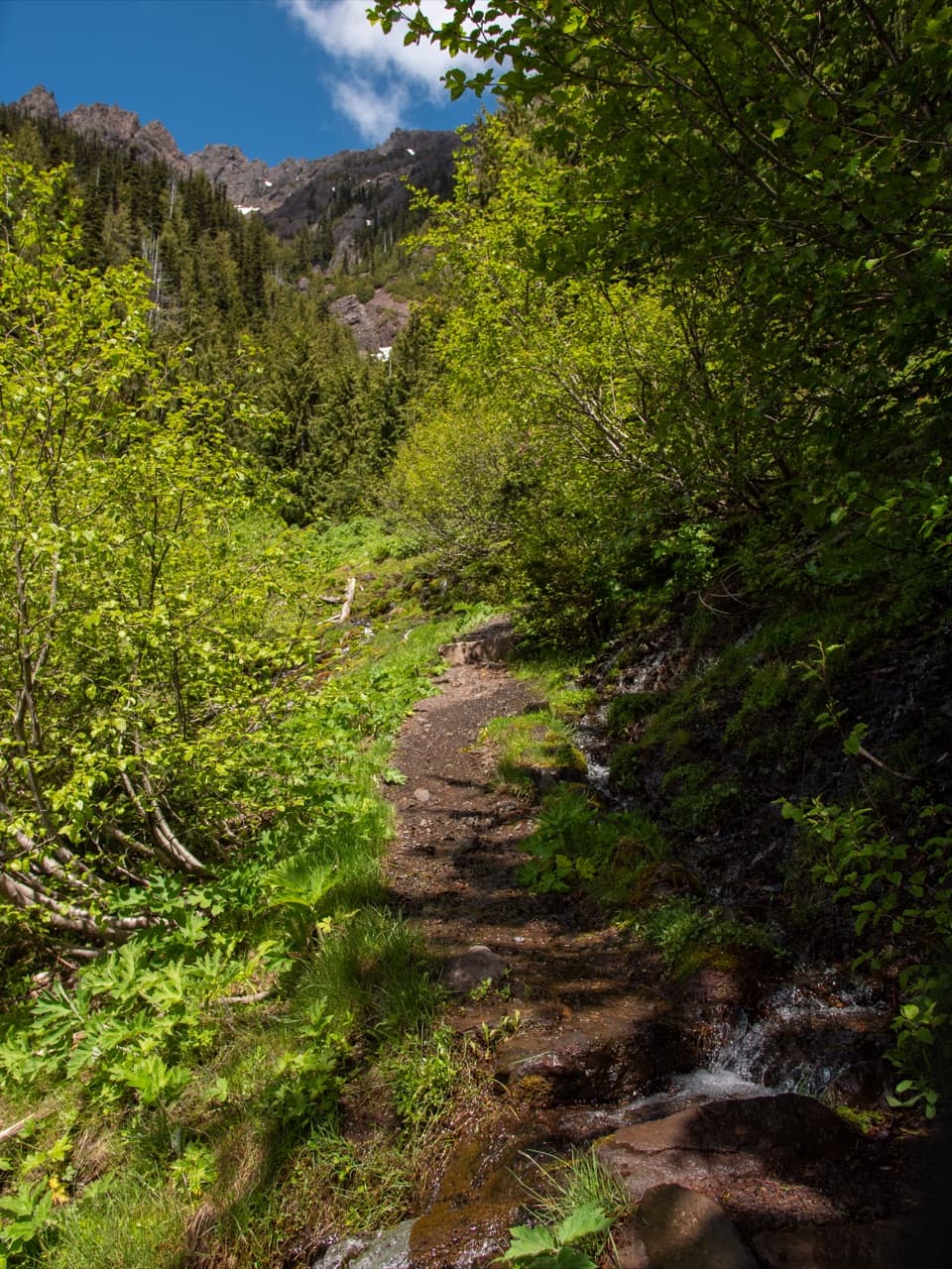 ChallengingSwitchback Trail3.1 mi · 3 hr · 2.7 mi awayA steep, direct climb to wildflower meadows and Klahhane Ridge.
 ModerateGoblins Gate Trail3.6 mi · 2 hr · 3 mi awayA steep canyon spur drops to the Elwha’s narrow rocky gate.
 ModerateLillian River Trail13 mi · 8.5 hr · 3.1 mi awayA 13-mile forest hike to the quiet banks of Lillian River.
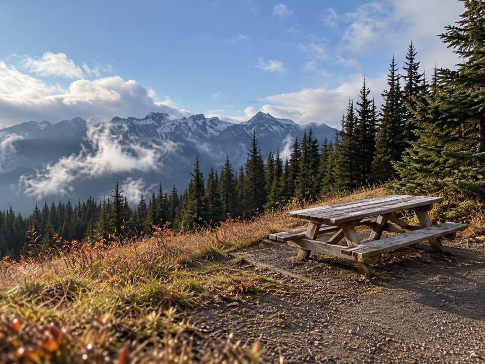 Picnic area · 0.4 mi awayHurricane Hill Picnic Areas A and BA summer picnic stop with mountain views along Hurricane Hill Road.
 Sight · 1 mi awayCirque Rim OverlookA quick paved walk to broad views across the Strait.
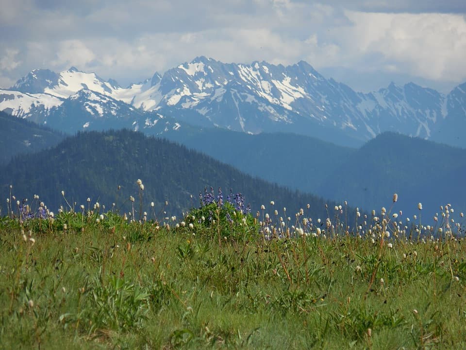 Sight · 1 mi awayHurricane RidgeBailey Range views from the road-end meadow.
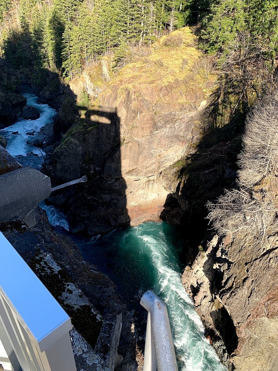 Sight · 4.2 mi awayGlines Canyon Dam OverlookThe reservoir is gone; the river now runs through its canyon.
 Sight · 5.5 mi awayMorse Creek OverlookA quick roadside geology stop with an ice-age lake and pillow basalt.
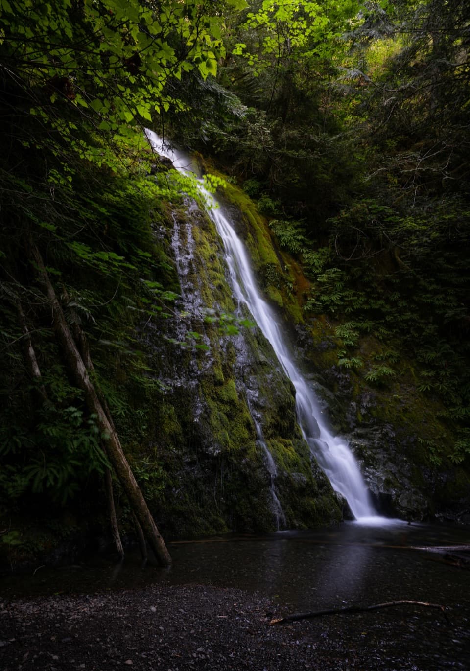 Sight · 5.6 mi awayMadison FallsA short Elwha Valley walk ends below a 60-foot waterfall.
 Campground · 5.8 mi awayHeart O' the Hills CampgroundA quiet forest base for Hurricane Ridge and a woodland walk.
 Entrance station · 5.9 mi awayHeart O' the Hills Entrance StationA quick fee stop before the road climbs toward Hurricane Ridge.
Parkwolf’s Olympic ranking
The audio tour guide for the drive, plus offline maps, trails, and wildlife heatmaps for when the signal drops.




