Parking
Sol Duc Falls Trailhead at the end of Sol Duc Road, beyond Sol Duc Hot Springs Resort. The falls walk begins at this road-end parking area; resort and campground connectors are part of the separate Lover's Lane loop.

#3 of 148 trails in Olympic
Olympic National Park, WA
Old-growth shade ends at a bridge over a roaring canyon.
Overview
Map & elevation
Plan your hike

The highest, rockiest slopes around here are a summer buffet for grizzly bears.
Olympic Tour Guide
Parkwolf is a GPS audio tour guide for Olympic National Park. As you drive, it chimes in with what’s ahead: hidden gems, upcoming stops, history, geology, and wildlife, right through your car’s speakers.
See the Olympic audio tourRecorded for this trailhead
Sol Duc Falls: The Short Forest Walk“You're nearing the Sol Duc Falls trailhead, for an old-growth forest walk to a waterfall that can split into several chutes.”
Plays as you drive up to this trailhead in the Parkwolf Olympic Tour Guide.
More stories near here in the app
“Fantastic app with many points of information… It’s great to just turn on while you’re driving and it gives you an audio tour of the national Park. We love it!!!!”


Trail guide
The Sol Duc Falls Nature Trail is a 1.6-mile out-and-back from the end of Sol Duc Road to a bridge and viewpoints above a narrow rocky canyon. The National Park Service lists the route as 0.8 mile one way with about 200 feet of elevation gain. Expect a 45-minute to one-hour visit if you linger at the falls; the walk is short, shaded and easy, with a powerful waterfall as its clear payoff. Follow the established path to the viewing area, then turn around and return along the same corridor. This is a stand-alone waterfall hike, not a loop.
Continue past Sol Duc Hot Springs Resort to the end of Sol Duc Road and the Sol Duc Falls trailhead parking. The resort and campground are nearby, but they are not the start for this short route. Sol Duc Road stays open year-round when weather permits and often closes in winter for snow and ice, so check its status before driving. Lover's Lane is a separate loop that links the resort, falls path and campground connectors; it is a longer walk with a different route and access. Do not count those extra miles as part of the falls trail.
The approach is straightforward, but the destination sits beside fast, powerful water and a narrow rocky gorge. The National Park Service warns that the falls can be dangerous and says children need close supervision. Stay on the established viewpoints and keep well back from the water and canyon edge. Pets are not allowed on Olympic National Park trails, so leave dogs behind for this walk.
The path is wide and maintained, with an unpaved surface beneath dense old-growth forest. Mossy rocks and ferns fill the understory; near the middle, a short footbridge crosses a smaller stream. The approach has no long open-view section, so the forest is the main setting until the water's sound grows louder near the falls. Expect a natural tread rather than a paved walkway, with roughly 200 feet of gain over the short one-way distance.
Sol Duc Falls drops about 48 feet into a narrow rocky canyon. Depending on water volume, it can split into as many as four channels. The main bridge sits close to the cascade and looks downriver through the gorge; smaller viewpoints upstream and downstream offer different angles of the water. Give yourself time to look from the established viewpoints rather than stepping onto wet rocks. A photograph from the bridge can show both the divided falls and the deep green canyon around it.
The Sol Duc River supports salmon runs in every season. Chinook and coho move upstream in late summer and spawn in late fall; cutthroat trout and steelhead run in fall and winter and spawn into spring. That is the river's broader calendar, not a promise that fish will be visible at the bridge. The Salmon Cascades overlook farther down Sol Duc Road is a separate stop for watching coho leap upstream in fall.
Sol Duc Hot Springs Resort is a separate stop beyond the trailhead. In its operating season it offers mineral pools, dining, a shop and lodging, and it generally closes in winter. The nearby campground's water and restrooms also change by season; facilities at the road-end parking itself were not confirmed. A local story repeated in park literature says two dragons' tears became the Sol Duc and Elwha hot springs after the dragons fought over territory. That story explains the hot springs, not the falls.
Wildlife
 710 sightingsOlympic MarmotMost seen around 11 AMSighting map
 30 sightingsHumpback WhaleMost seen around 6 PMSighting map
 42 sightingsGrey WhaleMost seen around noonSighting map
 23 sightingsMountain LionMost seen around 8 PMSighting map
 71 sightingsMountain GoatMost seen around 7 AMSighting map
 306 sightingsBald EagleMost seen around 11 AMSighting map
Sighting maps show where each species has been reported across Olympic. Wildlife moves, so no sighting is guaranteed.
Keep exploring
 ChallengingHigh Divide Loop (Seven Lakes Basin)19 mi · 12 hr · At the trailheadA long ridge loop over a basin of eight alpine lakes.ModerateLover’s Lane Loop Trail6 mi · 3.5 hr · At the trailheadA shaded river loop ends at a waterfall in old growth.
 ModerateDeer Lake Trail7.6 mi · 5 hr · At the trailheadA forest climb beside cascades ends at two nearby lakes.
 ChallengingAppleton Pass Trail14.8 mi · 9 hr · At the trailheadA long climb past Sol Duc Falls to a high mountain pass.
 ChallengingSol Duc River Trail16.8 mi · 12 hr · At the trailheadA river climb that ends at Heart Lake and the High Divide.
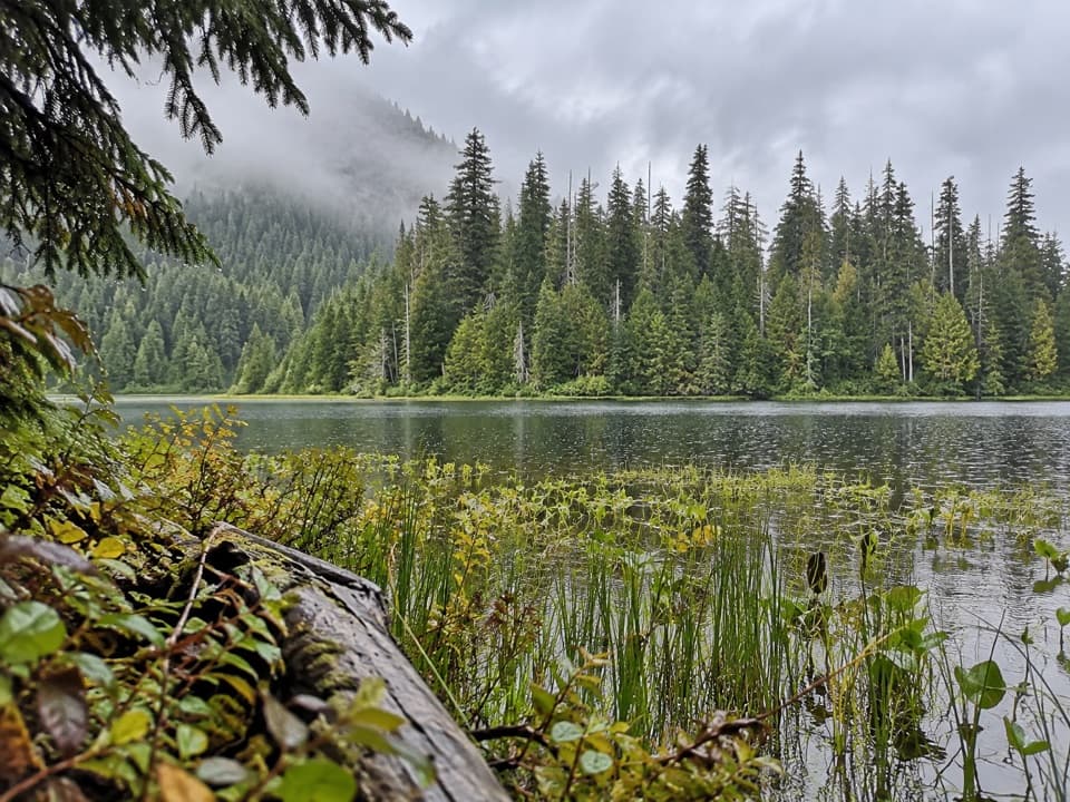 ModerateMink Lake Trail5.2 mi · 4 hr · 1.7 mi awayA steady forest climb to a small lake tucked into meadow.ModerateLunch Lake Trail1.2 mi · 1.3 hr · 3.6 mi awayA rough half-mile drop to a lake with designated campsites.
 EasyAncient Groves Nature Trail0.6 mi · 45 min · 4.7 mi awayA mossy forest loop with a much hillier tread than it looks.
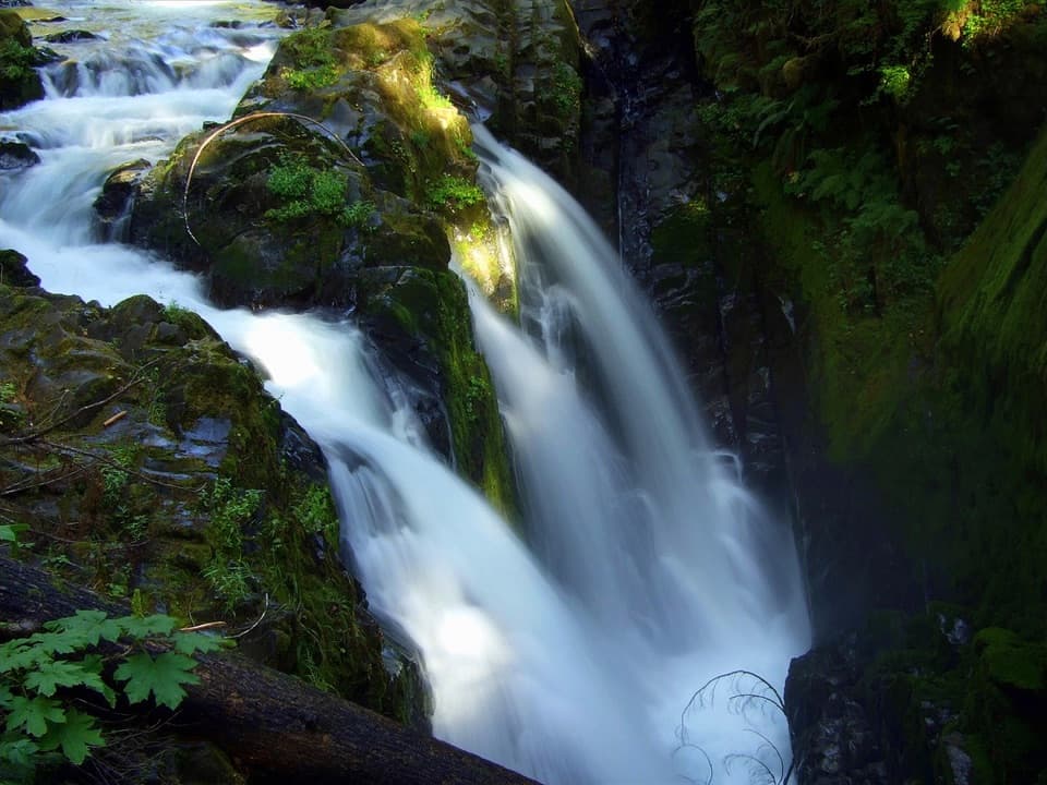 Sight · 0.7 mi awaySol Duc FallsA 48-foot cascade drops through a narrow, rocky canyon.
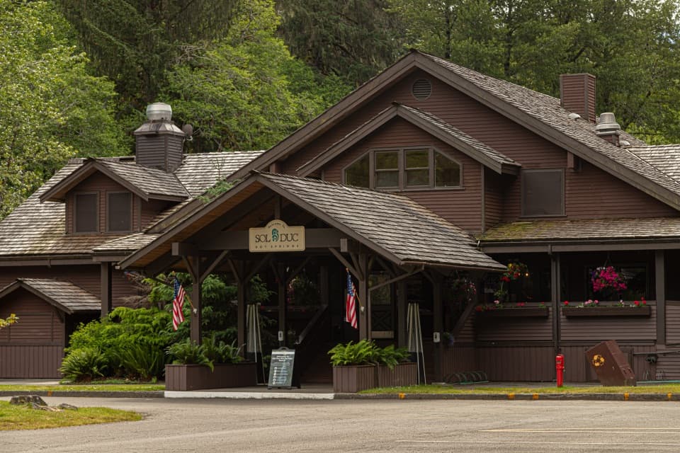 Sight · 1.6 mi awaySol Duc Hot Springs ResortThree mineral pools, plus a cooler dip in the Sol Duc valley.
 Campground · 1.7 mi awaySol Duc Hot Springs RV Park and CampgroundCamp under old-growth trees, with Sol Duc Falls nearby.
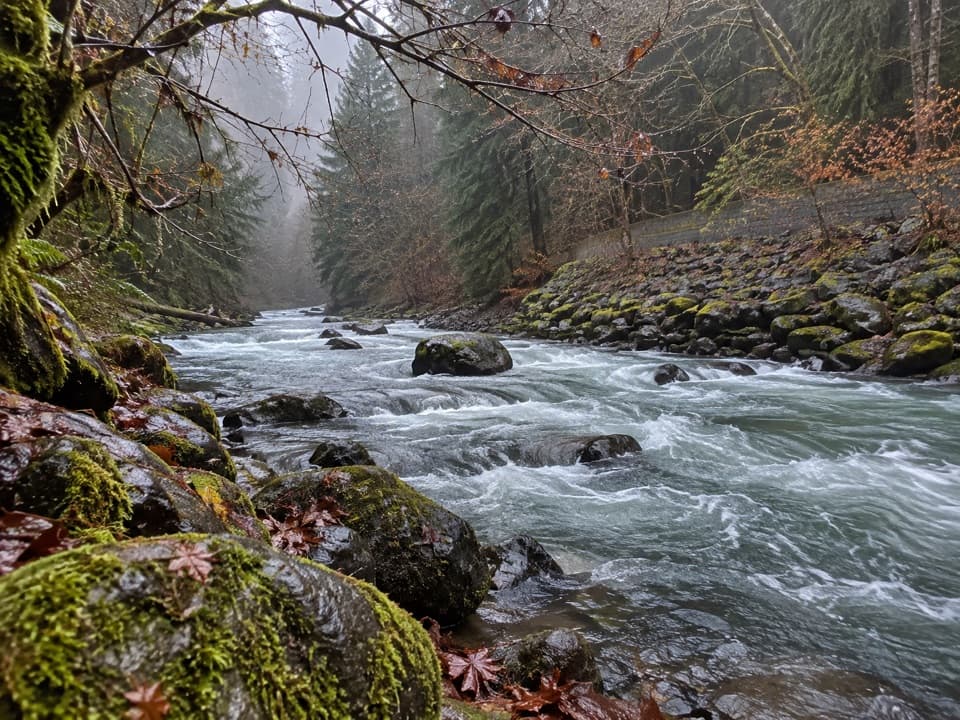 Picnic area · 5.9 mi awayPicnic Area along Sol Duc RiverA picnic break beside the Sol Duc River.
 Sight · 6.2 mi awaySalmon CascadesA short platform stop for the cascades and coho run.
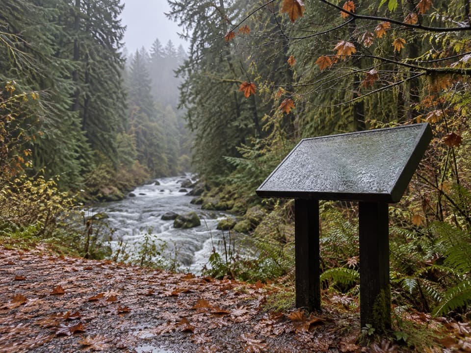 Picnic area · 6.7 mi awaySol Duc River View Picnic AreaA picnic table above the river’s fast, foamy run.
 Sight · 6.9 mi awayMarymere FallsA mossy old-growth walk ends at a two-level waterfall view.
 Picnic area · 7 mi awayLa Poel Picnic AreaFire rings, tree shade, and a glimpse of Lake Crescent.
Parkwolf’s Olympic ranking

The audio tour guide for the drive, plus offline maps, trails, and wildlife heatmaps for when the signal drops.


