
Place · 0.5 mi away
Challenging
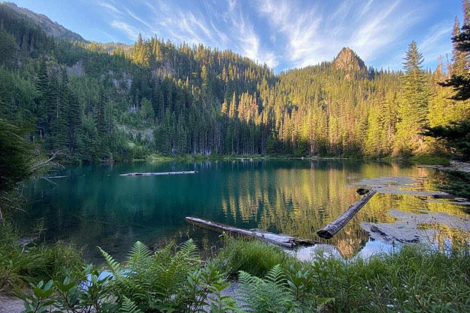
If you like your rewards front-loaded with sweat, PJ Lake delivers. This is a short, very steep out-and-back to a small, emerald-green subalpine lake tucked in a glacially carved basin. Plan on roughly 1.7 miles total roundtrip—don’t be fooled by the mileage; the grade is no joke and footing can be loose.
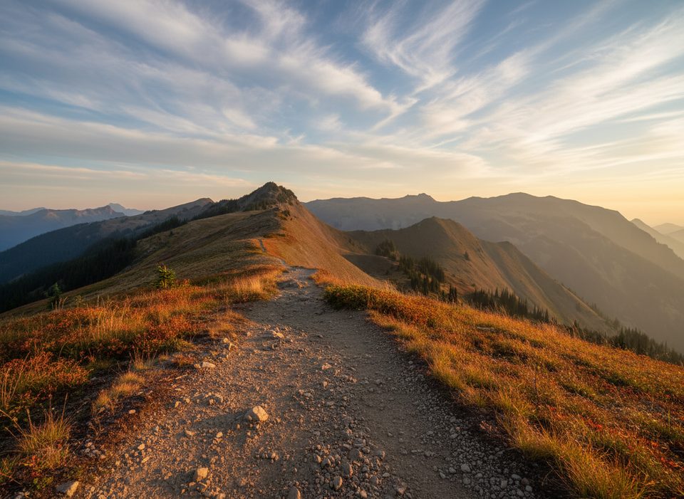
From Obstruction Point Road, the trail starts tame before plummeting via tight switchbacks—over 600 feet in the first half-mile—through dense forest with occasional peeks toward the high country. At the bottom, you’ll cross wet meadows and small streams, pass a delicate waterfall, then climb a short final pitch to the lake. PJ Lake itself is quiet and ringed by rugged ridges; in season you may spot trout cruising the shoreline. Expect wildflowers in late summer, robust water flow earlier in the season, and potential late-summer algae around the edges.
Expect a primitive tread: narrow singletrack, roots and rocks, possible downed trees, and muddy or brushy sections. Trekking poles help on the steep drop and the grind back out. Bugs (mosquitoes and big flies) can be intense in summer—bring repellent and consider a head net if you’re bite-prone.
Crowds thin out here compared to the rest of Hurricane Ridge, which is exactly the point—solitude is part of the payoff. If you’re after a mellow lakeside stroll, look elsewhere; this one’s for hikers who don’t mind a thigh-burner to earn a quiet shoreline. The lake is cold but swimmable for a quick dip, and some visitors fish; if you plan to camp, you’ll need a wilderness permit.
Best time to hike: Go when Obstruction Point Road is open and snow-free—typically late June through September. Early summer brings stronger streams and waterfalls; late July–August is prime for wildflowers (and bugs). Aim for morning or late afternoon for softer light on the lake and cooler temps. Winter access isn’t an option here—the road closes.
Getting there: Drive Hurricane Ridge Road to the visitor center, then take the signed left onto Obstruction Point Road for about 3.8 miles. It’s gravel, steep, and winding—skip it with large vehicles or trailers.
Trailhead is along Obstruction Point Road about 3.8 miles past the Hurricane Ridge Visitor Center; park roadside near the trail access on this gravel road (space is limited; avoid large vehicles or trailers).
Very steep, loose switchbacks; primitive, narrow tread with possible downed trees, mud, and small water crossings. Heavy bugs in summer. Obstruction Point Road is steep, gravel, and closed in winter.
Place · 0.5 mi away
Place · 1.1 mi away
Place · 2.6 mi away
Place · 2.8 mi away
Challenging · 2.8 mi away
Challenging · 2.8 mi away
Challenging · 2.8 mi away
Moderate · 2.8 mi away

Parkwolf Tour Guide
