
Place · 0 mi away
Challenging
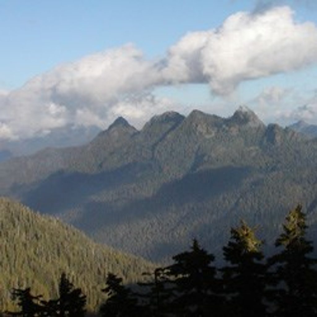
If you crave solitude and true wilderness, Six Ridge delivers. This rugged, primitive route links the North and South Forks of the Skokomish River through subalpine meadows, forested benches, and occasional open ridge walks. Expect blowdowns, brush, mud, and faint tread—plus expansive moments of quiet with meadows and mountain views.
The park lists this as 10.6 miles one way (about 21.1 miles out-and-back). Elevation varies by itinerary; you’ll move between roughly 1,500 and 4,650 feet, with total gain commonly cited around 3,150–4,650 feet depending on your route section. Most hikers backpack it over 2–3 days; very fit parties sometimes push it in a long day, but it’s strenuous and slow going. This is not a beginner trail.
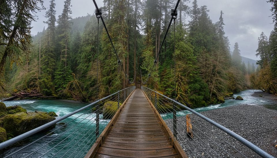
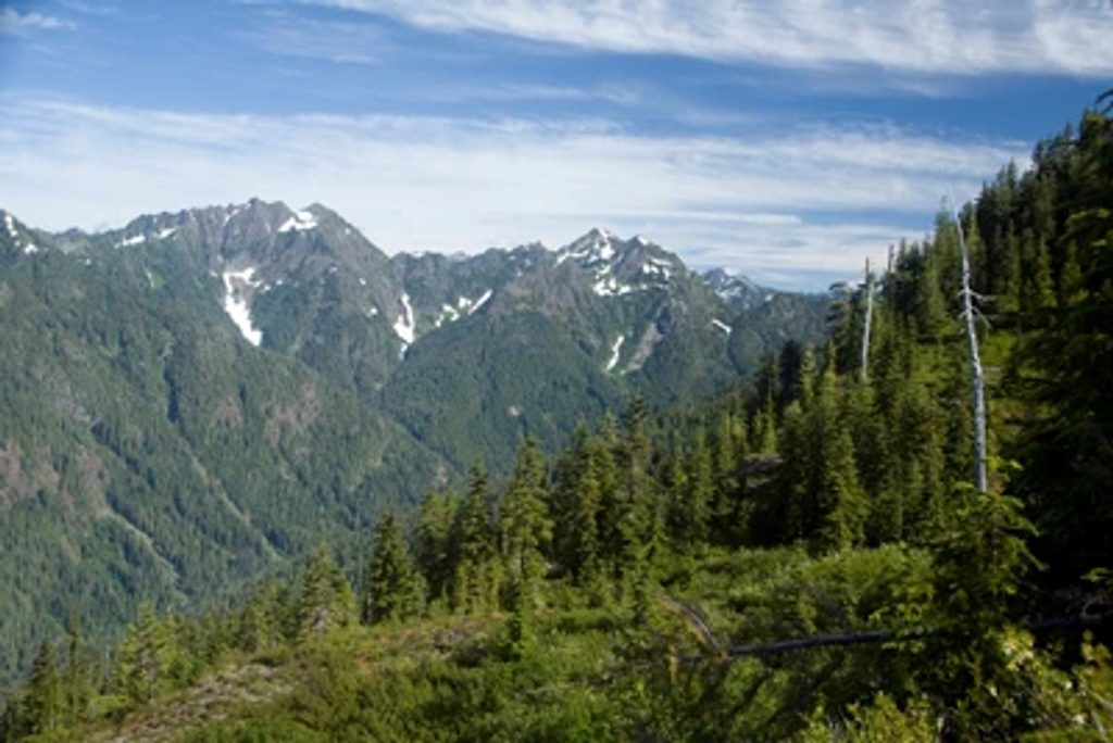
You’ll start in lush Skokomish lowland forest and climb into subalpine meadows and dense high-country forest. Look for wildflower-filled openings, intermittent ridge views, and the feel of the southern Olympics’ glacially carved ridges and basins. Notable spots include Belview meadows and Sundown Pass. Trip reports note occasional map quirks (like a Lake Success spur appearing on some maps and not others), so carry multiple sources.
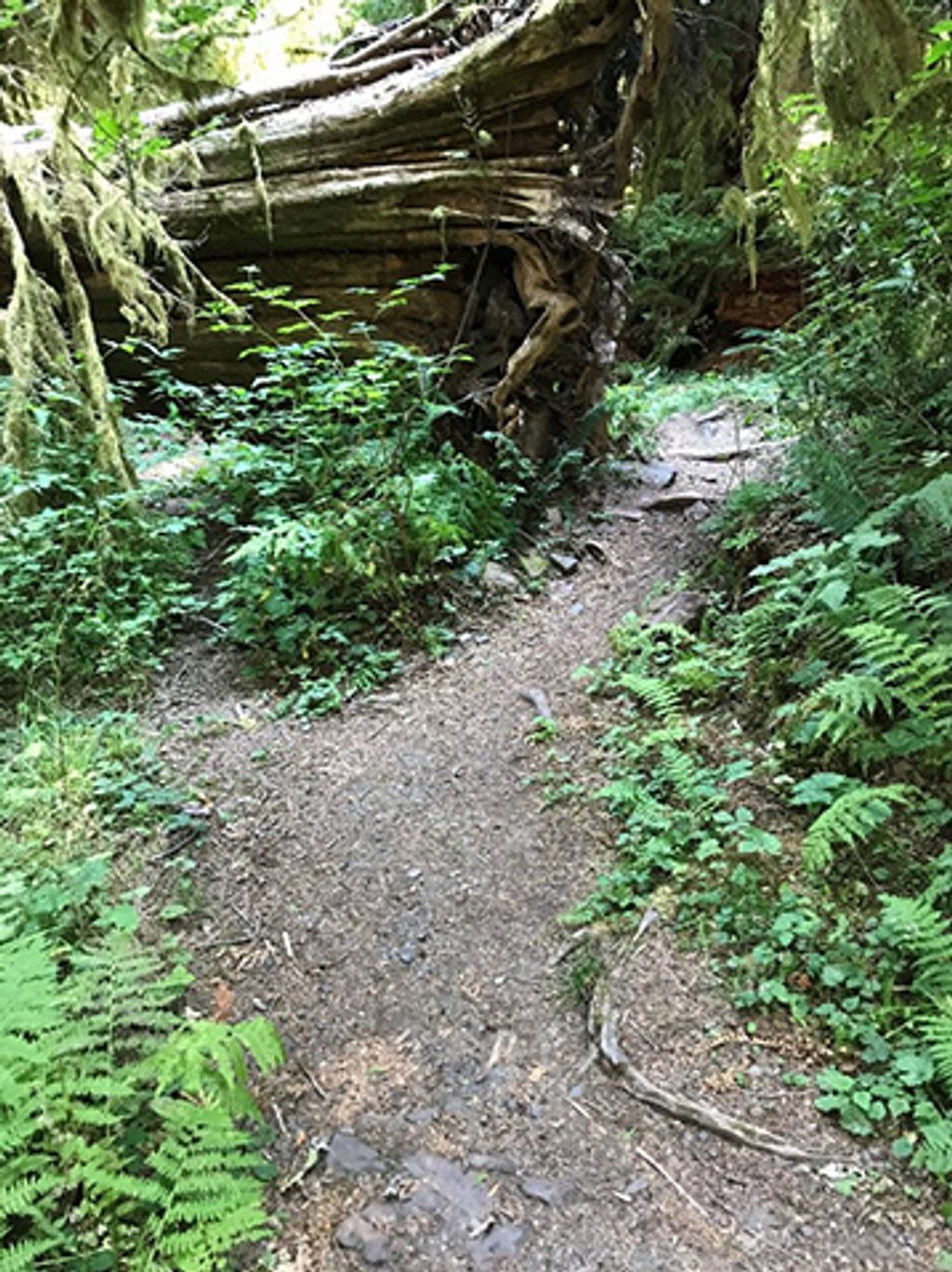
This is a primitive, often overgrown trail with sections of eroded tread. Route-finding matters, especially in meadows or after storms. Early season can bring snowfields, avalanche debris, and heavy blowdowns. Best time is late summer, when snow is gone and crews have usually cleared at least the worst obstacles.
Bring a map, compass, and/or GPS—don’t rely on markers. Waterproof boots and gaiters help in wet meadows and mud. Bear canisters are required for proper food storage. This corridor is closed to stock and is for hikers only.
Expect primitive camps with minimal facilities. Options include areas near Seven Stream and the Belview meadows, where there’s typically water nearby. Important: the park notes no water between the North Fork Skokomish River Trail and Belview—plan accordingly and always treat what you find.
Most visitors start from the Staircase side near Lake Cushman and work the ridgeline between the Skokomish forks. It’s a point-to-point traverse that can be done as an out-and-back or linked with other backcountry routes. Before you go, check the park’s Wilderness Trail Conditions for current blowdowns, washouts, and any advisories.
Park at the Staircase area by Lake Cushman (North Fork Skokomish/near the Staircase Ranger Station) and start from the North Fork side.
Primitive, often overgrown tread with blowdowns; limited water between the North Fork Skokomish Trail and Belview; wet meadows and stream crossings; serious navigation required. Bear canister required.
Place · 0 mi away
Place · 0.1 mi away
Place · 0.1 mi away
Place · 0.2 mi away
Easy · 0 mi away
Challenging · 0 mi away
Challenging · 0 mi away
Easy · 0 mi away

Parkwolf Tour Guide
