Parking
Start at Staircase Trailhead beside Staircase Campground, reached by North Fork Skokomish Road and Staircase Road. In snowy weather, the road may be gated about a mile short of its end. Trailhead water and restroom services are seasonal.

Olympic National Park, WA
A long forest climb ends at twin lakes below the Sawtooths.
Overview
Map & elevation
Plan your hike

The highest, rockiest slopes around here are a summer buffet for grizzly bears.
Olympic Tour Guide
Parkwolf is a GPS audio tour guide for Olympic National Park. As you drive, it chimes in with what’s ahead: hidden gems, upcoming stops, history, geology, and wildlife, right through your car’s speakers.
See the Olympic audio tourRecorded for this trailhead
Staircase: Rapids and the Fallen Cedar“Up ahead is Staircase, where I’d choose the Rapids Loop for a short outing beside the North Fork Skokomish River.”
Plays as you drive up to this trailhead in the Parkwolf Olympic Tour Guide.
More stories near here in the app
“Fantastic app with many points of information… It’s great to just turn on while you’re driving and it gives you an audio tour of the national Park. We love it!!!!”


Trail guide
Flapjack Lakes Trail is a long out-and-back from Staircase Trailhead to two subalpine lakes beneath the Sawtooth Range. The standard visit covers 15.6 miles round trip: the Staircase-area brochure lists 7.8 miles one way and 3,115 feet of gain. The first leg follows the North Fork Skokomish Trail; after its Flapjack turn, the route climbs toward the basin. The lakes are the goal, then you retrace the entire approach. The park describes this as a day hike only for very strong hikers, so treat it as a full-day commitment and leave time for the return.
Published distances vary slightly. The park's dedicated page lists 7.5 miles without stating direction, while a 2024 hike report records 15.4 miles round trip. This entry uses 15.6 round trip from the brochure. The stored route line measures about 6.9 miles from the trailhead to the lakes, shorter than the published distance; it follows connected mapped paths and shows the route shape, not an exact odometer track.
The North Fork approach is the easier part: reports describe its first several miles as wider and gentler. At the Flapjack junction, the tread narrows and the climb becomes much steeper. You gain from about 785 feet near Staircase to roughly 3,900 feet at the lake basin, so the full route calls for sustained effort rather than a short scramble. Save energy for the walk back down to the junction and the long return along the river trail.
The lakes are the destination for this route. Gladys Divide lies farther beyond them and is a separate extension; adding it changes the day's distance and effort. The stored line stops at the lakes and does not include that continuation.
The two lakes sit side by side just below tree line, with the Sawtooth Range rising above them. Wildflowers are a feature of the basin in season, and the contrast between forest, open water and rugged peaks makes this the trail's defining view. Take a break here before retracing the route; the distance back to Staircase is still substantial. Vault toilets and wilderness campsites are located at the lakes, but there is no food service along this remote route.
The North Fork approach follows part of an older travel corridor. In 1890, Lieutenant Joseph P. O'Neil led an expedition across the southern Olympic Mountains, surveyed nine river watersheds and cut a 93-mile trail. A portion of that route can still be followed along the North Fork Skokomish. The present Flapjack route only overlaps part of the historic line; its entire modern path should not be mistaken for the expedition trail.
Wildlife
 710 sightingsOlympic MarmotMost seen around 11 AMSighting map
 30 sightingsHumpback WhaleMost seen around 6 PMSighting map
 42 sightingsGrey WhaleMost seen around noonSighting map
 23 sightingsMountain LionMost seen around 8 PMSighting map
 71 sightingsMountain GoatMost seen around 7 AMSighting map
 306 sightingsBald EagleMost seen around 11 AMSighting map
Sighting maps show where each species has been reported across Olympic. Wildlife moves, so no sighting is guaranteed.
Keep exploring
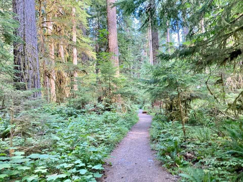 ChallengingNorth Fork Skokomish River Trail25 mi · 16 hr · At the trailheadA long river-valley walk to a remote Olympic mountain pass.
 ModerateShady Lane Trail0.8 mi · 45 min · At the trailheadA narrow cedar trail with river views and two small bridges.
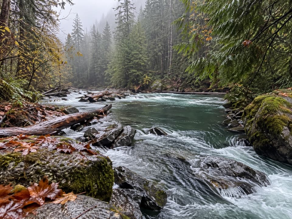 EasyStaircase Rapids Loop Trail2.1 mi · 1.3 hr · 0.1 mi awayA shady loop to river rapids and an enormous fallen cedar.
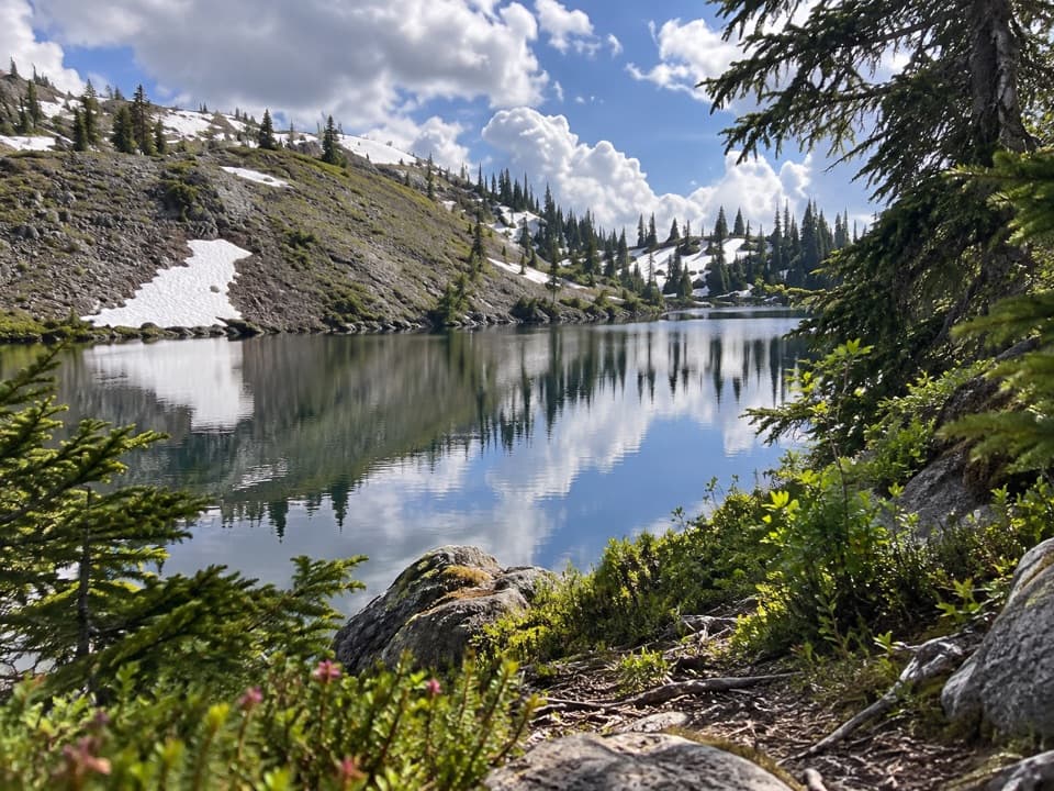 ChallengingBlack and White Lakes Primitive Trail14 mi · 11.5 hr · 0.2 mi awayA steep climb to an open basin of lakes and mountain views.
 ChallengingWagonwheel Lake Trail5.6 mi · 6 hr · 0.2 mi awayA relentless climb ends at a small, turquoise subalpine lake.
 EasyBig Cedar Trail (Staircase)0.4 mi · 20 min · 0.2 mi awayA short gravel path to a fallen cedar 14 feet across.
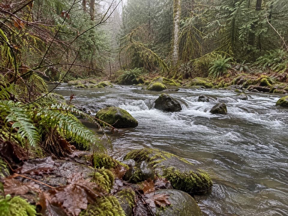 ModerateFour Stream Trail4.8 mi · 3.5 hr · 0.7 mi awayA mossy creek confluence marks the halfway point to the park boundary.
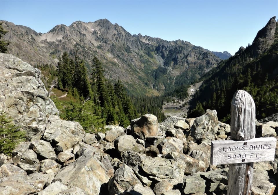 ChallengingGladys Divide Primitive Trail2.8 mi · 3 hr · 3.2 mi awayA steep primitive climb from Flapjack Lakes to a high divide.
 Ranger station · 0.1 mi awayStaircase Ranger StationSeasonal ranger help beside an easy river loop
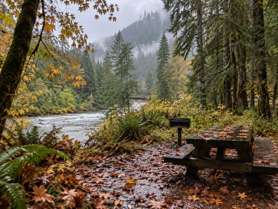 Picnic area · 0.1 mi awayStaircase Picnic AreaTables by the North Fork Skokomish make a handy meal stop.Sight · 0.2 mi awayStaircase Big Cedar TreeA fallen 14-foot cedar, tucked just off an easy loop.
 Campground · 0.2 mi awayStaircase CampgroundCamp beside the North Fork beneath Olympic old-growth forest.
 Entrance station · 0.2 mi awayStaircase Entrance StationBuy your pass and get oriented before exploring Staircase.
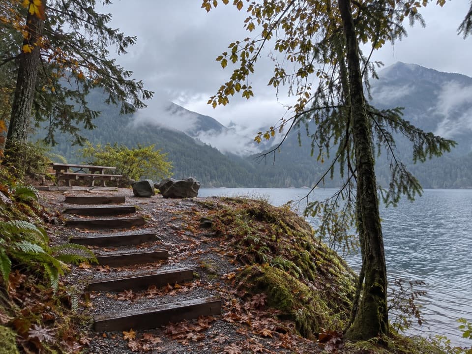 Picnic area · 2.6 mi awayLake Cushman Day Use Area Site 5A simple picnic table with a view over Lake Cushman.
Parkwolf’s Olympic ranking

The audio tour guide for the drive, plus offline maps, trails, and wildlife heatmaps for when the signal drops.





