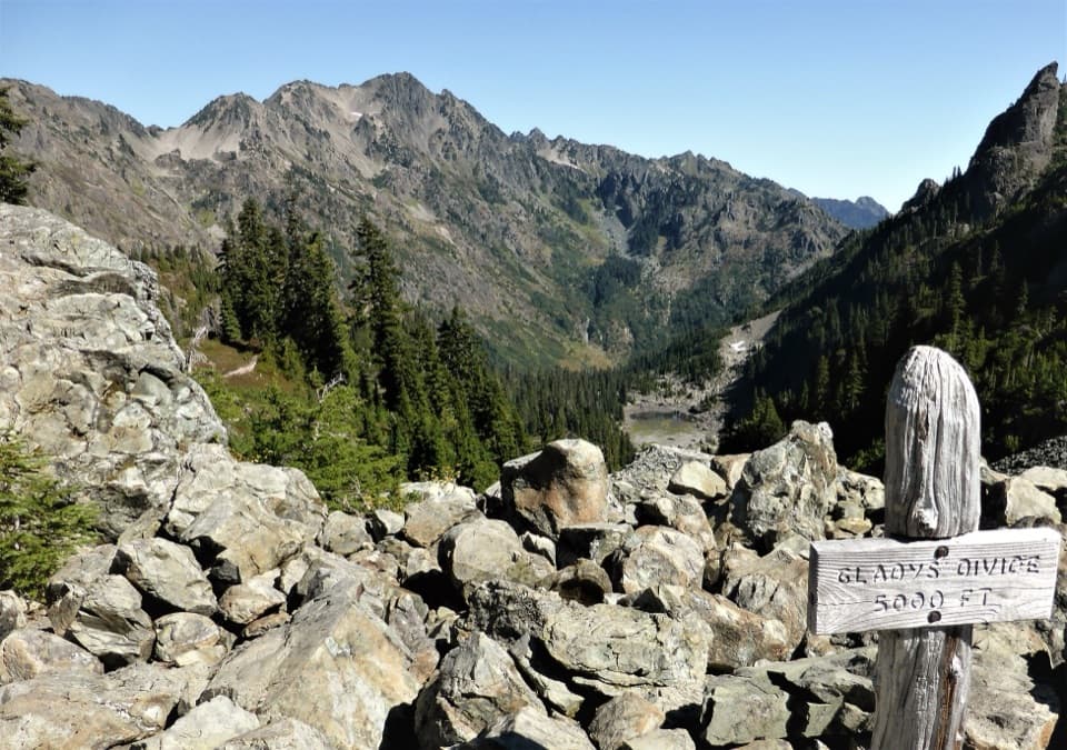
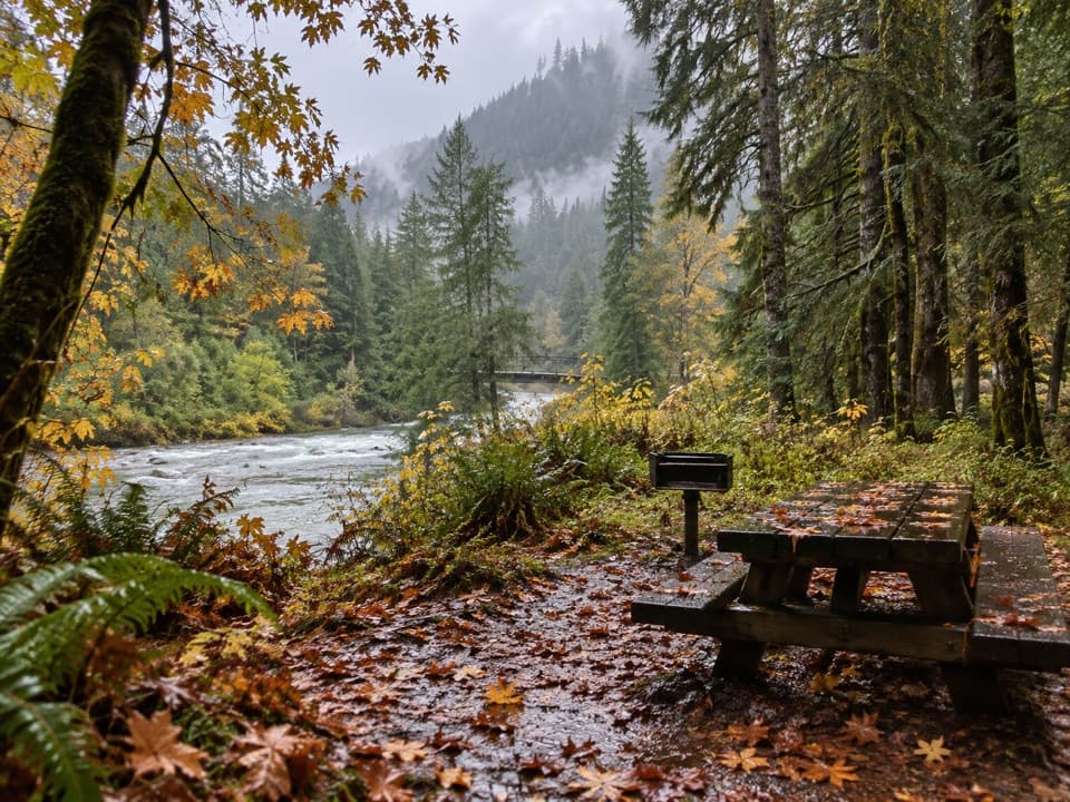
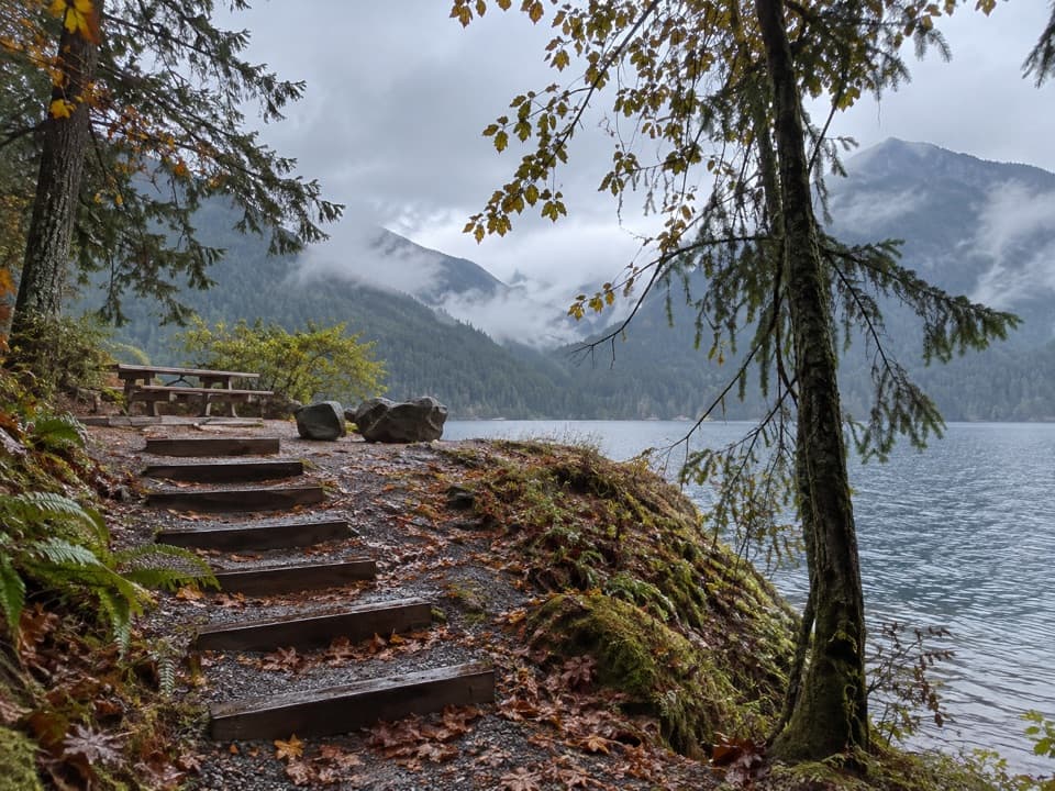
Shady Lane Trail in Olympic National Park

Olympic National Park, WA

Shady Lane Trail

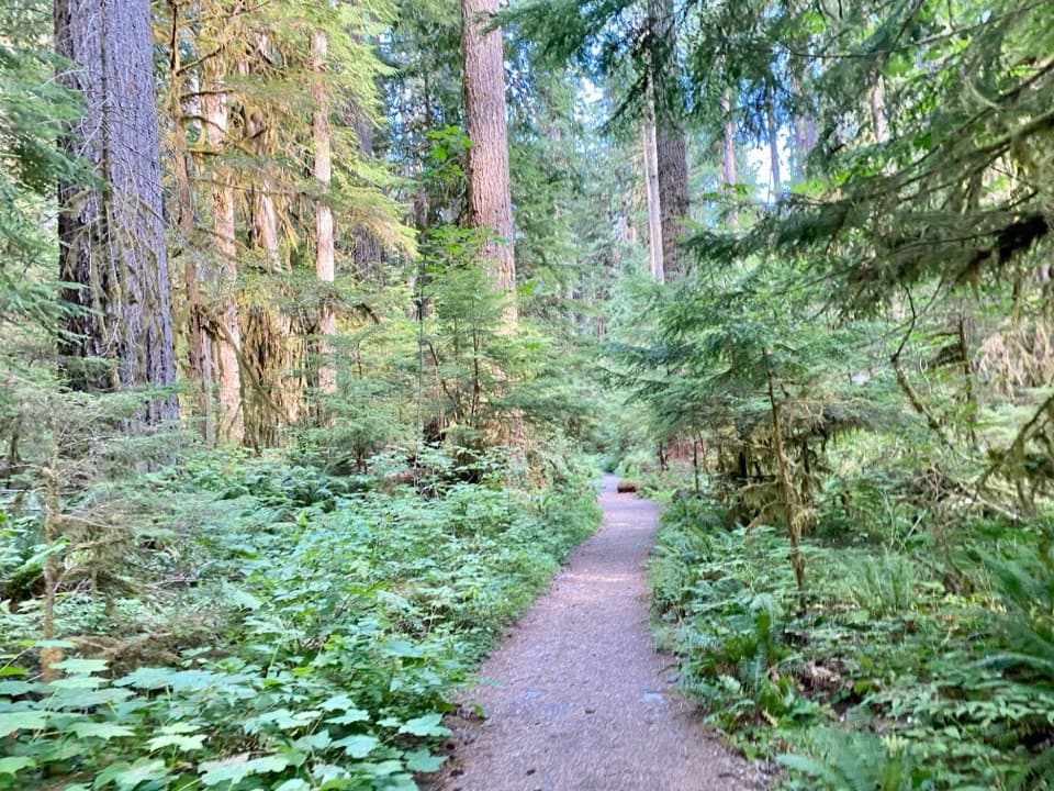
A narrow cedar trail with river views and two small bridges.

Length
0.8mi
Time
45min
Elev. change
167ft
Difficulty
Moderate
  • No dogs
  • High point 994 ft

Hear the audio tour

Staircase: Rapids and the Fallen Cedar

Overview

About Shady Lane Trail

Why go

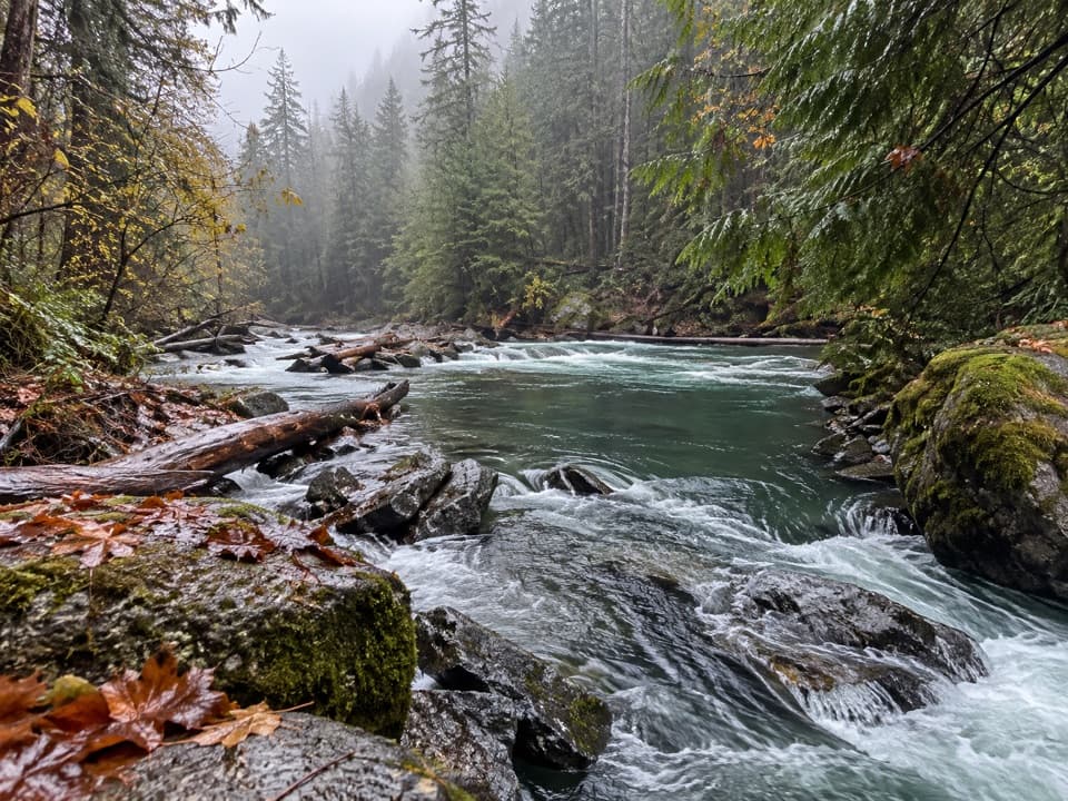
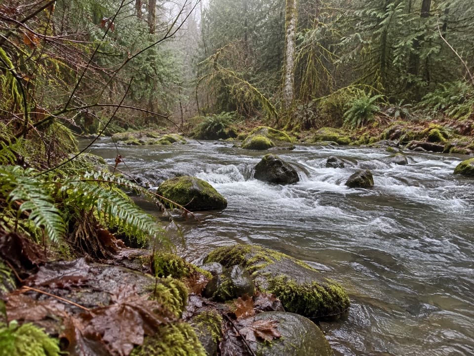
  • Old-growth cedar forest follows a close-up stretch of the North Fork Skokomish.
  • Two narrow footbridges and river views give a short connector real character.

Heads up

  • The two-foot tread, short steep pitches and exposed river edge are demanding for the distance.
  • The far end is at a road, with no verified public parking or pickup arrangement.

Map & elevation

The route

Loading the Olympic map
Full map
Elevation827–994 ft
TrailheadShady Lane Trailhead at Staircase bridge47.51589, -123.33049
Keep this map with you offline in the Parkwolf app

Plan your hike

Before you go

Parking

Start at the Staircase parking area near the ranger station. Cross the North Fork Skokomish bridge; the Shady Lane sign is at the far end. No public parking or pickup arrangement at the Four Stream Road end was verified, so plan to retrace the route; the river spur at about 0.70 mile is the recommended turnaround.

Safety

The narrow, rocky tread has steps, two narrow bridges, slide-affected slopes and short 20–40% grades; parts run above a 15-foot drop toward the river. A final short pitch near Four Stream Road reaches 30–35%. Pets are prohibited on this trail.

6 active Olympic alerts

  • CautionUS 101 Hoh River Bridge reduced to one laneUS 101 at the Hoh River Bridge is restricted to one lane of alternating traffic; obey the signals and 25 mph speed limit.Official details
  • ClosureStaircase wilderness trails and campsites remain closedWilderness trails and campsites around Staircase remain closed during recovery from the Bear Gulch Fire; the developed Staircase area, including the Rapids Loop, campground, and ranger station, is…Official details
See all 6 alerts
A park ranger sits on a dash-mounted phone, talking, as Parkwolf’s Tour Guide plays “Army Cutworm Moths: A Grizzly Bear Buffet” on Grand Loop Road below Dunraven Pass in Yellowstone
Parkwolf Tour GuideThe highest, rockiest slopes around here are a summer buffet for grizzly bears.

Olympic Tour Guide

Your drive to Shady Lane Trail, narrated.

Parkwolf is a GPS audio tour guide for Olympic National Park. As you drive, it chimes in with what’s ahead: hidden gems, upcoming stops, history, geology, and wildlife, right through your car’s speakers.

See the Olympic audio tour

Recorded for this trailhead

Staircase: Rapids and the Fallen Cedar
0:00 / 0:31
“Up ahead is Staircase, where I’d choose the Rapids Loop for a short outing beside the North Fork Skokomish River.”

Plays as you drive up to this trailhead in the Parkwolf Olympic Tour Guide.

More stories near here in the app

  • The Bark That Holds Back Heat
  • Lake Cushman Site Five: A Picnic by the Water
  • Salmon Around the Cushman Dams
  • The Dogwood’s Small Flowers
  • 204 audio storiesacross Olympic’s roads, triggered by GPS as you drive
  • Wildlife heatmapsfor Olympic Marmot, Humpback Whale, Grey Whale, and 13 more
  • Works offlinemaps, 148 trails, 94 places, and audio download before you lose signal
  • CarPlay readysimple controls built for the drive
★★★★★
“Fantastic app with many points of information… It’s great to just turn on while you’re driving and it gives you an audio tour of the national Park. We love it!!!!”
JMJamesApp Store review
Download Parkwolf on the App StoreGet Parkwolf on Google Play

4.7 from 8,600+ ratings

Trail guide

Hiking Shady Lane Trail

A short river connectorShady Lane is a 0.

Shady Lane is a 0.84-mile one-way trail from the bridge by Staircase to Four Stream Road, following the North Fork Skokomish before winding through old-growth cedars. It is short, but the rocky opening is steep and the trail ends at a road rather than looping back. Without a pickup at the far end, A useful turnaround is the river spur about 0.70 mile in for a 1.4-mile round trip; walking all the way to Four Stream Road and back makes about 1.68 miles. Allow roughly 35–45 minutes each way, longer if you stop often.

The narrow, rocky openingCross the bridge from Staircase parking and look for the Shady Lane sign at its far end.

Cross the bridge from Staircase parking and look for the Shady Lane sign at its far end. The first 310 feet are compacted gravel; the tread then turns rocky. Two steps lead to a 40-foot bridge only two feet wide, followed by a second, 25-foot bridge. Between them, the trail hugs a steep river slope marked by past slides, with roots, bedrock, steps and short grades as steep as 20–40%. Some stretches are exposed above a 15-foot drop toward the river, so this is a poor fit if narrow footing or unprotected edges are uncomfortable.

Cedars and the turnaroundAfter roughly 1,050 feet, the path enters forest and threads among large old-growth cedars.

After roughly 1,050 feet, the path enters forest and threads among large old-growth cedars. Short pitches and roots interrupt long, gentler sections. At about 3,710 feet, an informal spur drops toward the river. That junction is the sensible turnaround for most hikers returning to Staircase; beyond it, the trail climbs to Four Stream Road, including a short 30–35% pitch near the end.

A small mine-shaft spurJust beyond the first narrow bridge, a short spur reaches an old mine shaft.

Just beyond the first narrow bridge, a short spur reaches an old mine shaft. Its history is not documented in the sources, but it is a distinctive detail on an otherwise quiet forest connector.

Start and accessPark in the Staircase area by the ranger station, cross the North Fork Skokomish bridge, and…

Park in the Staircase area by the ranger station, cross the North Fork Skokomish bridge, and start at the sign on the far side. Shady Lane is a point-to-point route, so arrange a ride before relying on Four Stream Road as an exit; otherwise retrace your steps. Restroom and picnic facilities are at the developed Staircase area, not along the trail. Pets are not allowed on Shady Lane.

Wildlife

Wildlife in Olympic

All Olympic wildlife maps

Sighting maps show where each species has been reported across Olympic. Wildlife moves, so no sighting is guaranteed.

Keep exploring

Near Shady Lane Trail

See it all on the map

Trails that start nearby

Places near the trailhead

Parkwolf’s Olympic ranking

Top-rated trails in Olympic

All 148 trails
  1. 1Hall of Mosses TrailEasy · 0.8 mi
  2. 2Hurricane Hill TrailModerate · 3.3 mi
  3. 3Sol Duc Falls Nature TrailEasy · 1.6 mi
  4. 4High Divide Loop (Seven Lakes Basin)Challenging · 19 mi
  5. 5Hoh River TrailChallenging · 34.8 mi
  6. 6Shi Shi Beach and Point of Arches TrailModerate · 8 mi

Take Parkwolf to Olympic.

The audio tour guide for the drive, plus offline maps, trails, and wildlife heatmaps for when the signal drops.

4.7 from 8,600+ ratings

Download Parkwolf on the App StoreGet Parkwolf on Google Play