Parking
The trailhead is on North Shore Road about a quarter-mile before North Fork Campground; parking is across the road from the path. The approach is remote and partly gravel, with unreliable phone service, so save directions before driving in.

Olympic National Park, WA
A mossy rainforest walk to a small lake with Mount Hoquiam views.
Overview
Map & elevation
Plan your hike

The highest, rockiest slopes around here are a summer buffet for grizzly bears.
Olympic Tour Guide
Parkwolf is a GPS audio tour guide for Olympic National Park. As you drive, it chimes in with what’s ahead: hidden gems, upcoming stops, history, geology, and wildlife, right through your car’s speakers.
See the Olympic audio tourRecorded for this trailhead
Irely Lake and Three Lakes: Choose the Commitment“You're approaching the Irely Lake and Three Lakes trailhead. For a shorter outing, Irely Lake is about two point two miles round trip; allow an hour and a half to two hours through mossy forest.”
Plays as you drive up to this trailhead in the Parkwolf Olympic Tour Guide.
More stories near here in the app
“Fantastic app with many points of information… It’s great to just turn on while you’re driving and it gives you an audio tour of the national Park. We love it!!!!”


Trail guide
Irely Lake Trail is an easy out-and-back through Quinault rainforest to a small, shallow lake. The mapped walk is about 1.1 miles each way, or 2.2 miles round trip, with little climbing; allow about 1.5 to 2 hours for the rough footing and a stop at the water. Some published totals say 2.8 miles round trip, but that doesn't match the mapped 1.1-mile corridor. I'd plan around 2.2 miles and check the trailhead details if the exact total matters. It suits a quiet forest outing more than anyone expecting a grand alpine lake.
The trail begins with a short rocky climb through open young hemlocks, then moves into shaded forest with moss on the trees and roots across the tread. About halfway, it follows Irely Creek through swampy patches; old wooden puncheons help in places, and a brief detour skirts a cliff band. There are two creek crossings, one a rock hop and the other a narrow log bridge. The grade stays easy, but mud and slick roots can make the walk feel slower than the mileage suggests.
The last turn drops steeply to the lake on a ladder of roots. The final few feet may take both hands, so take care there, especially if you're hiking with someone unsteady.
The shore is small and the lake is shallow; by late summer it can be very low or nearly dry. A tall dead snag stands in the water. Mount Hoquiam rises to the southeast, and you may spot the tip of Colonel Bob Peak through the trees to the south. Ducks and a woodpecker have been observed around the lake. For a photo, use the snag and wooded shore in the foreground, with the mountain view beyond when it's visible.
The trailhead is on North Shore Road about a quarter-mile before North Fork Campground, with parking across the road from the path. The approach is remote and partly gravel, and phone service can be unreliable, so save directions before leaving the main highway. North Fork Campground is a separate stop another quarter-mile along the road; it has picnic tables and a nearby pit toilet but no water. Pets aren't allowed on this trail. If you continue into the backcountry for an overnight trip, wilderness permits are required.
Wildlife
 710 sightingsOlympic MarmotMost seen around 11 AMSighting map
 30 sightingsHumpback WhaleMost seen around 6 PMSighting map
 42 sightingsGrey WhaleMost seen around noonSighting map
 23 sightingsMountain LionMost seen around 8 PMSighting map
 71 sightingsMountain GoatMost seen around 7 AMSighting map
 306 sightingsBald EagleMost seen around 11 AMSighting map
Sighting maps show where each species has been reported across Olympic. Wildlife moves, so no sighting is guaranteed.
Keep exploring
 ChallengingThree Lakes Trail via Big Creek13.8 mi · 9 hr · At the trailheadA long forest climb to a mossy subalpine lake basin
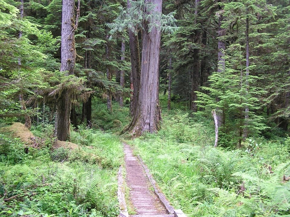 ChallengingNorth Fork Quinault River Trail33 mi · 1 day · 0.7 mi awayOld-growth river forest, rugged fords, and meadows at Low Divide
 EasyCascading Terraces Trail0.5 mi · 30 min · 3.6 mi awayA short rainforest walk to a Quinault River meadow.
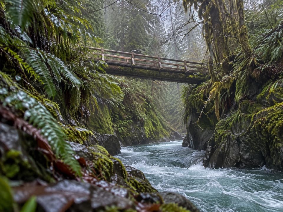 ModeratePony Bridge Trail5 mi · 3 hr · 4 mi awayA forested gorge with a steep approach and timber bridge.
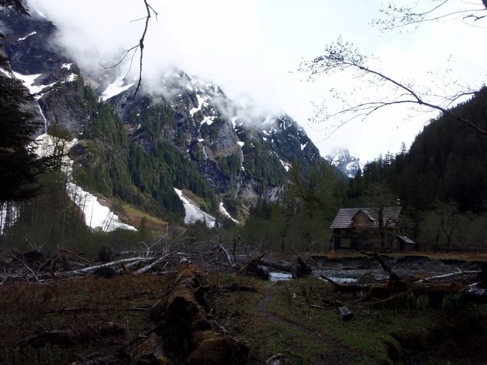 ChallengingEast Fork Quinault River Trail to Enchanted Valley26 mi · 16 hr · 4 mi awayA multi-day rainforest trek ends at a chalet beneath steep valley walls.
 ChallengingGraves Creek Trail to Lake Sundown14.6 mi · 13.5 hr · 4.1 mi awayA rugged climb from Graves Creek forest to a remote alpine lake
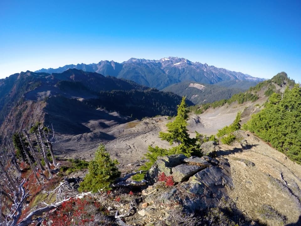 ChallengingSkyline Ridge Primitive Trail20.1 mi · 20 hr · 5.1 mi awayA rugged ridge traverse past Kimta Peak through remote high country.
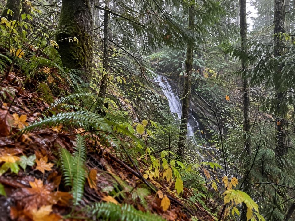 ModerateWynoochee Pass Trail5.2 mi · 4.3 hr · 6.4 mi awayA rough forest climb to two small ponds at the pass.
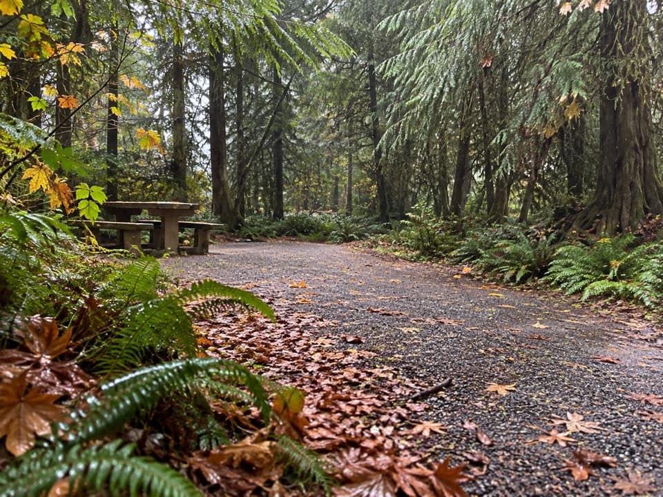 Campground · 0.2 mi awayNorth Fork CampgroundNine remote sites, with Quinault trails close by
 Sight · 3.3 mi awayBunch FallsTwo waterfall tiers spill through forest, visible from the bridge.
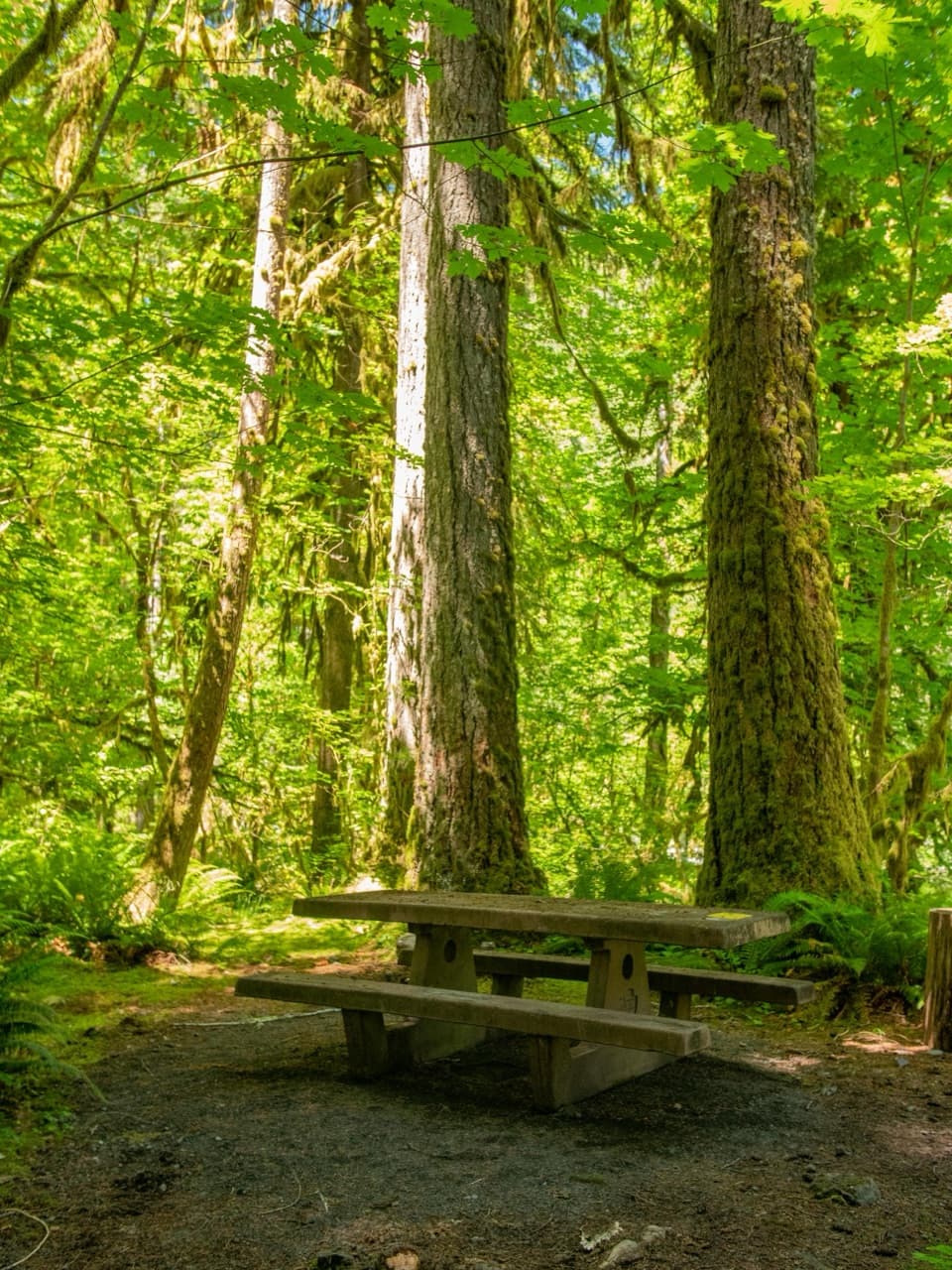 Campground · 3.6 mi awayGraves Creek CampgroundQuiet streamside camping, if you're up for a long gravel drive.
 Sight · 7.6 mi awayMerriman FallsA quick, mossy waterfall stop on the Quinault loop.
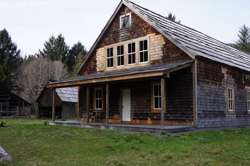 Sight · 8.6 mi awayKestner HomesteadA rainforest homestead with an orchard, old barn and flood stories.
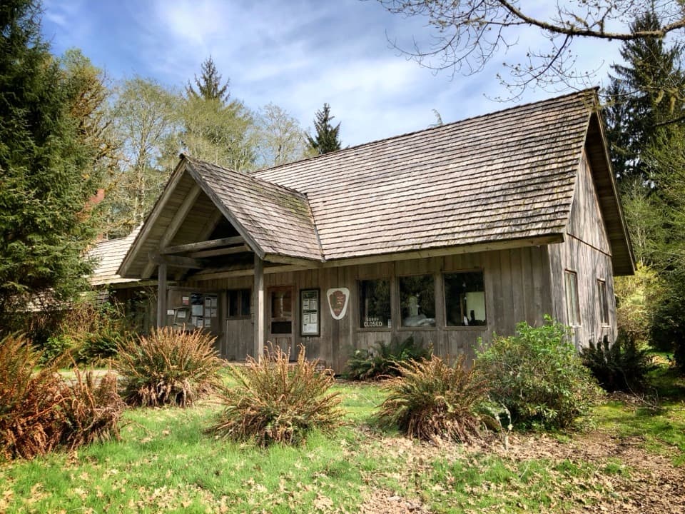 Ranger station · 8.9 mi awayQuinault Rain Forest Ranger StationA useful base for two short rainforest walks by Lake Quinault.
Parkwolf’s Olympic ranking

The audio tour guide for the drive, plus offline maps, trails, and wildlife heatmaps for when the signal drops.