Indian Key Historic State Park in Overseas Highway

Sight · Overseas Highway

Indian Key Historic State Park

A wrecking town’s foundations on a boat-only island

Photo: Public Domain
Type
Sight
Audio stories
2 nearby
  • Exhibit
  • Trailhead
  • Scenic viewpoint

Hear the audio tour

Robbie’s of Islamorada: Tarpon and Seafood

Overview

About Indian Key Historic State Park

Why stop

  • A short loop leads among foundations and cisterns from an 1830s settlement.

Heads up

  • Boat-only access and a rocky landing take planning.

Map

Where it is

Loading the Overseas Highway map
Full map
SightIndian Key Historic State Park24.87825, -80.67701
Keep this map with you offline in the Parkwolf app

Plan your stop

Before you go

3 active Overseas Highway alerts

  • CautionCoastal flooding across the Florida KeysA Coastal Flood Warning remains in effect for the Upper Keys and Coastal Flood Advisories remain in effect for the Middle and Lower Keys until 5 a.m.Official details
  • CautionNighttime lane closures on Seven Mile BridgeExpect possible nighttime lane closures on Seven Mile Bridge for FDOT’s rehabilitation project to repair and strengthen the bridge.Official details

See all 3 alerts
A park ranger sits on a dash-mounted phone, talking, as Parkwolf’s Tour Guide plays “Army Cutworm Moths: A Grizzly Bear Buffet” on Grand Loop Road below Dunraven Pass in Yellowstone
Parkwolf Tour GuideThe highest, rockiest slopes around here are a summer buffet for grizzly bears.

Overseas Highway Tour Guide

Your drive to Indian Key Historic State Park, narrated.

Parkwolf is a GPS audio tour guide for Overseas Highway. As you drive, it chimes in with what’s ahead: hidden gems, upcoming stops, history, geology, and wildlife, right through your car’s speakers.

See the Overseas Highway audio tour

Recorded for this place

Robbie’s of Islamorada: Tarpon and Seafood
0:00 / 0:38
“You're approaching Robbie's of Islamorada, where tarpon lunge out of the water for bait held over the dock.”

Plays as you drive up to Indian Key Historic State Park in the Parkwolf Overseas Highway Tour Guide.

More stories near here in the app

  • Who Paid the Wreckers?
  • The Sponge’s Hidden Work
  • Green Turtle Hammock: Cottage and Bay View
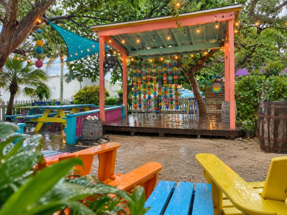
  • Florida Keys Brewing Company: The Beer Garden
  • 136 audio storiesacross Overseas Highway’s roads, triggered by GPS as you drive
  • Wildlife heatmapsfor Crocodile, Alligator, Manatee, and 13 more
  • Works offlinemaps, 26 trails, 88 places, and audio download before you lose signal
  • CarPlay readysimple controls built for the drive
★★★★★
“Fantastic app with many points of information… It’s great to just turn on while you’re driving and it gives you an audio tour of the national Park. We love it!!!!”
JMJamesApp Store review
Download Parkwolf on the App StoreGet Parkwolf on Google Play

4.7 from 8,600+ ratings

Guide

More about Indian Key Historic State Park

An island you reach by boatIndian Key Historic State Park protects an 11-acre island about half a mile offshore from Lower…

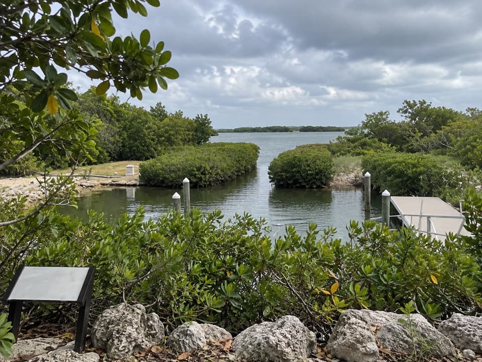
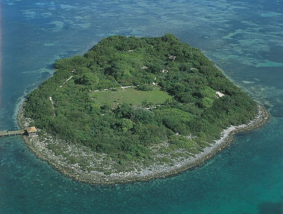
Indian Key Historic State Park protects an 11-acre island about half a mile offshore from Lower Matecumbe Key. A visit pairs a paddle over shallow seagrass flats with a roughly 0.6-mile loop among the remains of an 1830s settlement. Come for the history and quiet island walk; this takes more planning than a roadside stop and is not a developed beach.

Landing and walking aroundThe island is accessible only by boat, with kayaks a common way to make the crossing.

The island is accessible only by boat, with kayaks a common way to make the crossing. The usual designated kayak landing is on the south side. Light winds and higher tide make the shallow paddle easier, and the shoreline is rocky, so water shoes help when stepping ashore. On the island, paths follow the settlement’s former streets between low foundations and cisterns under tropical plants. There are no restrooms or other facilities, so bring your own food and drinking water. Pets are not allowed.

A town built on shipwrecksIn the 1830s, Jacob Houseman built a settlement around wrecking: watching the reefs for…

In the 1830s, Jacob Houseman built a settlement around wrecking: watching the reefs for grounded vessels, rescuing crews and salvaging cargo. A three-story warehouse topped with a cupola served as a lookout. The first wrecker to reach a wreck became its wreck master; cargo was stored on Indian Key before going to Key West, and courts commonly awarded wreckers about a quarter of its value. The remains make more sense when you picture a working port, not just a quiet island trail.

The 1840 attack and what followedOn August 7, 1840, an attack burned most of the settlement’s buildings and killed 13 residents,…

On August 7, 1840, an attack burned most of the settlement’s buildings and killed 13 residents, including botanist Henry Perrine. Perrine had been granted land to experiment with sisal, a fiber used for rope, and the island’s tropical plantings are tied to that work. After the settlement fell, the U.S. Navy used the island and built a hospital there; later it served as a staging area for vessel construction and work on the Carysfort and Alligator Reef lighthouses.

Ruins in a green island settingThe old streets are now a short walking route through tropical vegetation, where stone walls…

The old streets are now a short walking route through tropical vegetation, where stone walls and cisterns appear between shrubs and agaves. Interpretive signs help connect those scattered remains to the town that once stood here. For a broad view of the island and surrounding blue shallows, the observation tower has been a useful high point when open; at ground level, the masonry and cisterns make the most distinctive close-up subjects. Swimming and snorkeling are listed activities, but visitor reports differ on water visibility and footing.

Wildlife

Wildlife in Overseas Highway

All Overseas Highway wildlife maps

Sighting maps show where each species has been reported across Overseas Highway. Wildlife moves, so no sighting is guaranteed.

Parkwolf’s Overseas Highway ranking

Top sights in Overseas Highway

All 88 places
  1. 1Old Seven Mile BridgeSight
  2. 2Southernmost Point BuoySight
  3. 3Mallory SquareSight
  4. 4Calusa BeachBeach
  5. 5Ernest Hemingway Home and MuseumSight
  6. 6Robbie’s of IslamoradaSight

Take Parkwolf to Overseas Highway.

The audio tour guide for the drive, plus offline maps, trails, and wildlife heatmaps for when the signal drops.

4.7 from 8,600+ ratings

Download Parkwolf on the App StoreGet Parkwolf on Google Play