Pros & cons
PROS
- Canada’s highest paved pass with broad alpine views at 2,206 m
- Rare late-spring, car-free cycling window before the road reopens
CONS
- Closed to motor vehicles December 1–June 14 every year
- Very exposed to wind and fast-changing mountain weather
Overview
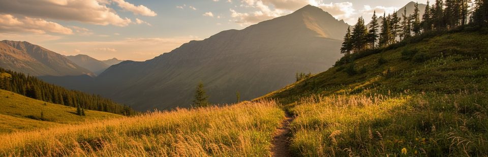
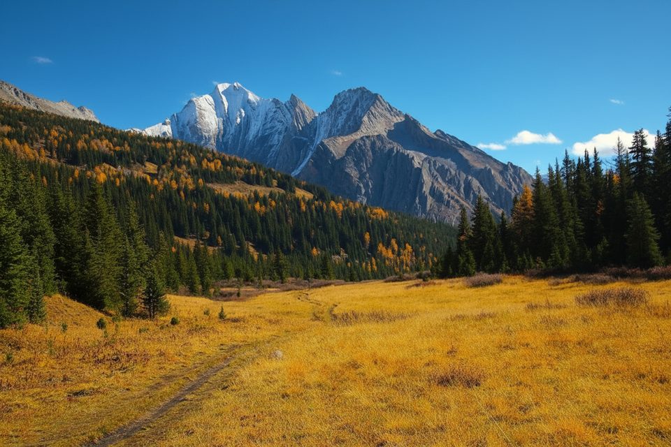
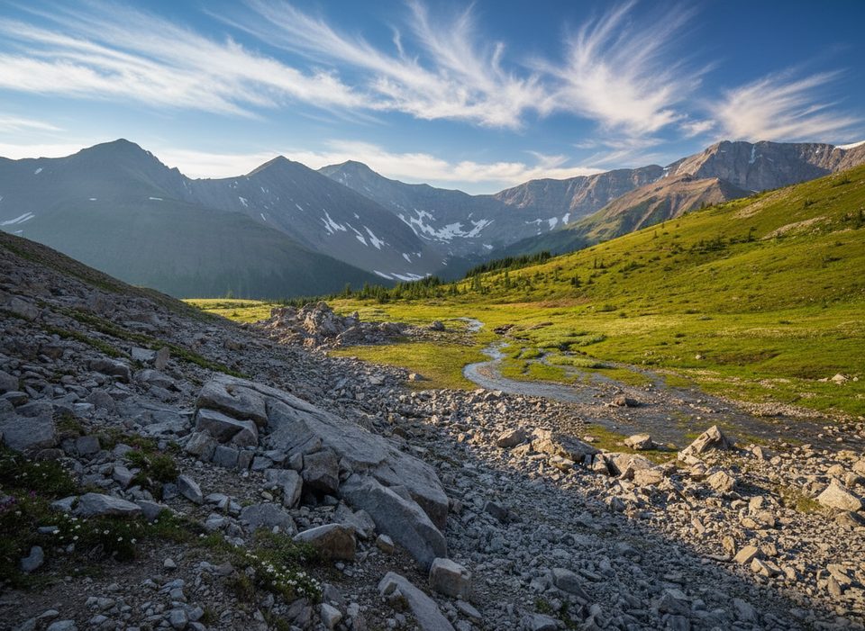
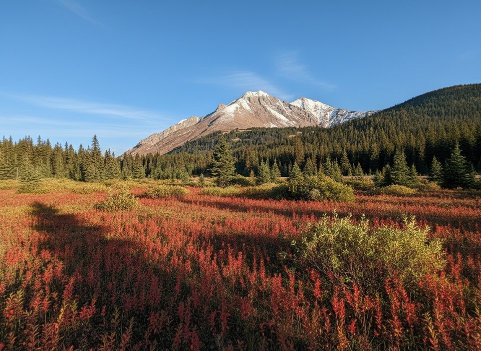
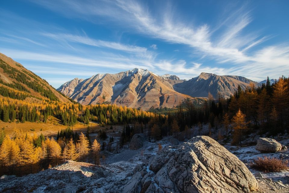
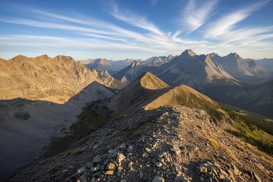
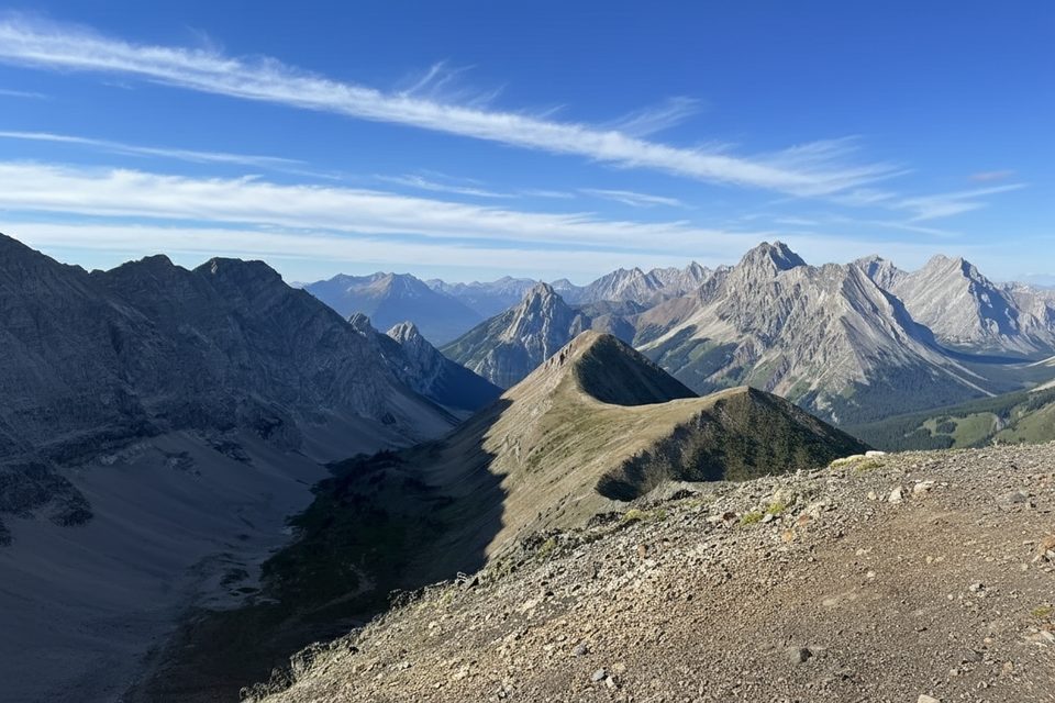
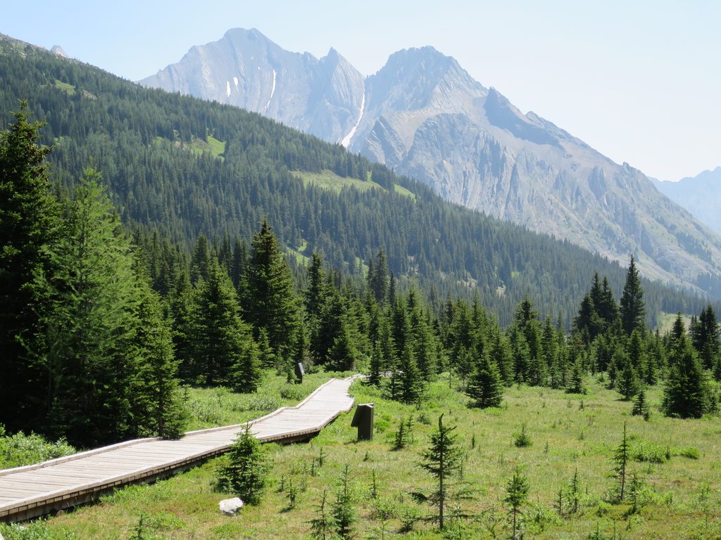
Highwood Pass is the crown of Highway 40, cresting at 2,206 m right inside the park. It’s the highest paved pass in Canada, and you feel it—big-sky vistas, bare ridgelines, and that head-on-the-swivel kind of scenery. The Highwood River begins here, and the road threads between Mount Rae and Mount Arethusa of the Misty Range.
Why it stands out
Two draws make this place special: the sheer alpine setting reachable by car in summer, and a short late‑spring window when the highway is closed to vehicles but clear enough for cyclists to own the pavement. When it’s open to traffic, the drive itself is a classic.
Season & access
- Annual vehicle closure runs December 1–June 14; vehicles typically return June 15.
- During late spring (snow permitting, before June 15), the empty highway becomes a prized bike route.
- In winter, the area shifts to snowshoe and cross‑country ski use.
Facilities
Pit/vault toilets are available at the Little Highwood Pass day‑use area, and they’re serviced June 15–November 30. Outside that window, don’t expect services.
Wildlife & geology
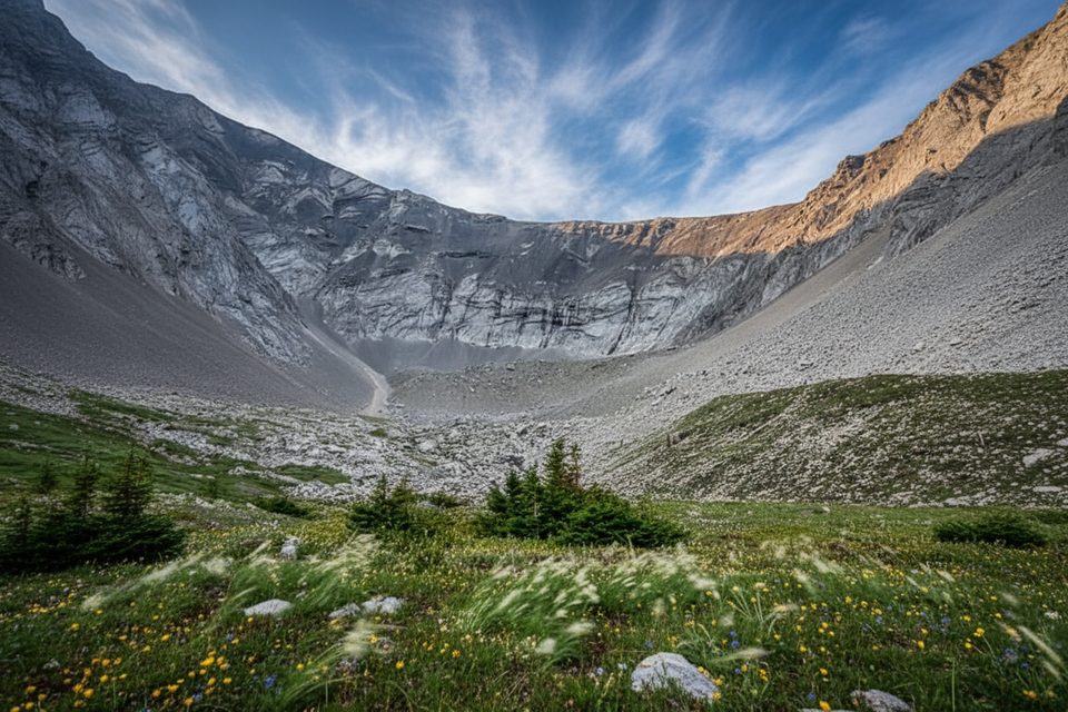
This corridor is serious wildlife country—grizzly and black bears, elk, moose, mountain goats, and bighorn sheep use these slopes. You may also spot marmots, pikas, and raptors hunting the open alpine. Geology fans get textbook Rockies: layered limestone, dolomite, shale, and quartzite folded and thrust up, with glaciers having carved cirques and U‑shaped valleys.
Things to do
- Scenic drive: Make the pass the high point of a longer Highway 40 journey; many people connect it into a half‑day loop with time for stops.
- Cycling (car‑free window): Expect steady grades, wind exposure, and occasional debris—beautiful riding when conditions line up.
- Nearby hikes: Trailheads around the pass lead to Ptarmigan Cirque and Arethusa Cirque; Mount Rae is a classic scramble for experienced parties.
Best time to visit
- Late spring (before June 15) for car‑free cycling if the pavement is snow‑free.
- Summer and early fall (June 15–November 30) for the scenic drive and alpine hikes; wildflowers typically peak mid‑summer. Autumn can bring early snow and variable conditions.
Safety & etiquette
Carry bear spray and give wildlife space; seasonal closures occur to protect animals. Weather turns fast at 2,206 m—pack windproof, warm layers even on sunny days. Cyclists should bring a repair kit and be self‑sufficient. Leave No Trace applies—this is fragile alpine terrain.
Where it is
50.5994, -114.9878Tips for Highwood Pass
- 01For cyclists, the sweet spot is late spring before June 15 if snow allows—bring warm layers and a repair kit.
- 02Pit toilets are at Little Highwood Pass day‑use (June 15–Nov 30); carry water and sanitizer.
- 03Carry bear spray and expect wildlife; closures can pop up without much notice.
- 04If you’re driving the scenic route, budget 3–4 hours without long hikes.
- 05Even in summer it’s windy and cool at 2,206 m—dress for alpine weather.
Amenities
Near Highwood Pass
All places →All trails →
0.2 mi awayPocaterra TarnAlpine tarn that shines during larch season
0.3 mi awayPtarmigan Cirque TrailShort, steep climb to a big alpine cirque with larches and views.Moderate · 2.8 mi · 2 hr
0.3 mi awayHighwood Meadows Interpretive TrailBarrier free boardwalk at Canada’s highest paved highway passEasy · 0.8 mi · 30 min
0.3 mi awayPocaterra CirqueShort larch walk to a wide alpine bowl off Highwood PassEasy · 4.3 mi · 3.5 hr
0.3 mi awayHighwood Meadows Day Use AreaQuick alpine meadow boardwalk and interpretive trailTrailhead · Restroom
0.3 mi awayPocaterra CirqueUndesignated alpine cirque for skilled, self sufficient hikers
0.3 mi awayPocaterra RidgeFall larch mecca with airy ridge walking and stout climbsChallenging · 6.1 mi · 6 hr
0.4 mi awayPtarmigan CirqueShort alpine loop with larches, big views, and interpretive signsTrailhead · Parking