
Place
Moderate
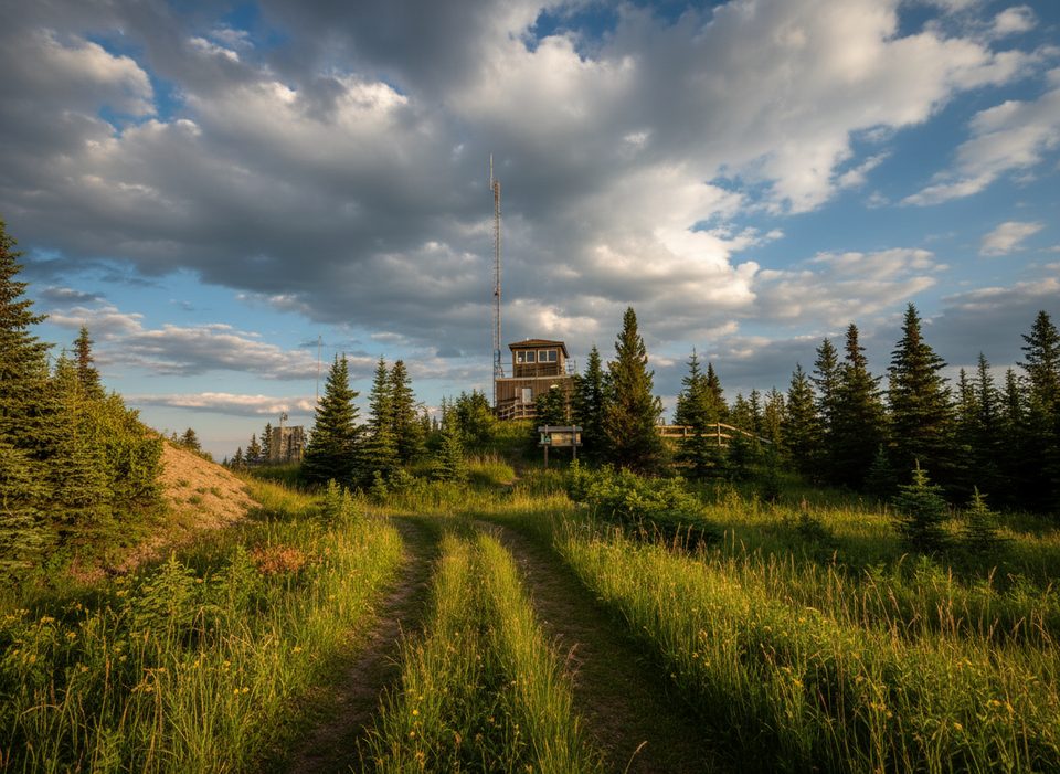
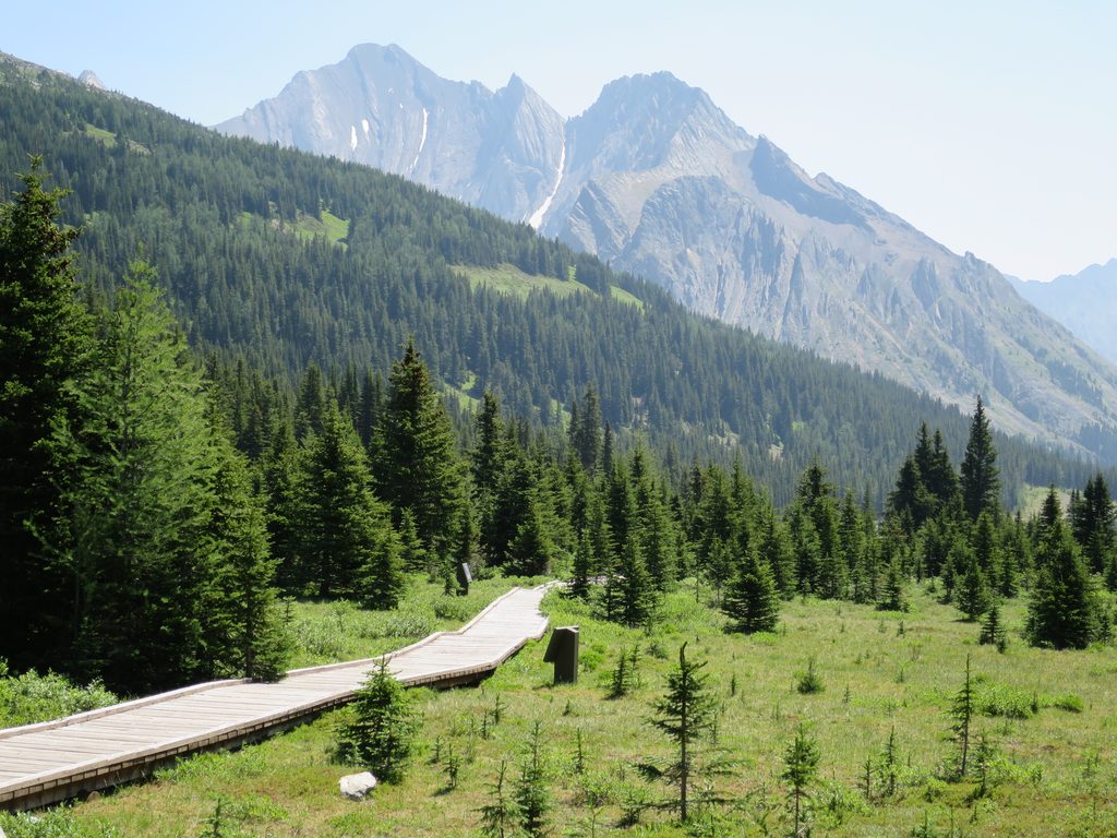
This is a quick-but-steep spur to the Kananaskis fire lookout with big, open views. From Pocaterra Trail, pick up the Lookout spur about 500 m south of the Whiskey Jack junction and climb roughly 200 m over 1.7 km (one way). Most hikers treat this as an out-and-back for a total of about 3.4 km/2.1 miles. In summer, hiking, biking, and e-bikes are permitted on this spur.
In winter, the route continues south from the lookout to connect with Hydroline for about 5 km (one way). That south side is steeper and requires extra caution. The winter designation is for cross‑country skiing; walking or snowshoeing is not the intended use on the groomed ski system.
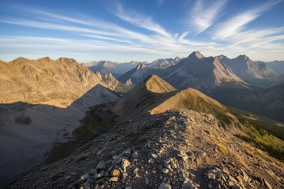
Expect a steady climb on a straightforward track to an active lookout and a wide-open viewpoint—classic Kananaskis scenery for a modest effort. If you want a longer day to the same destination, some visitors approach via Tyrwhitt or other connected trails, but the simple out‑and‑back via Pocaterra is the most direct.
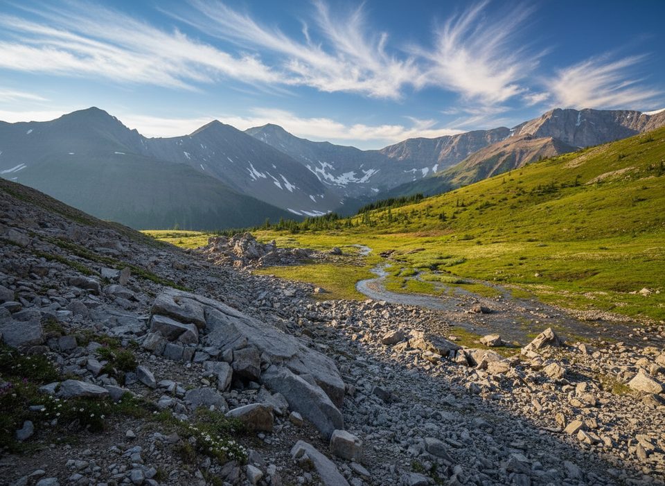
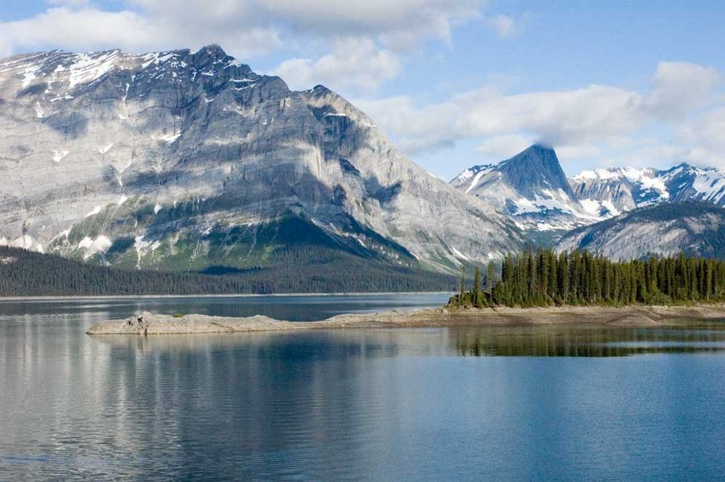
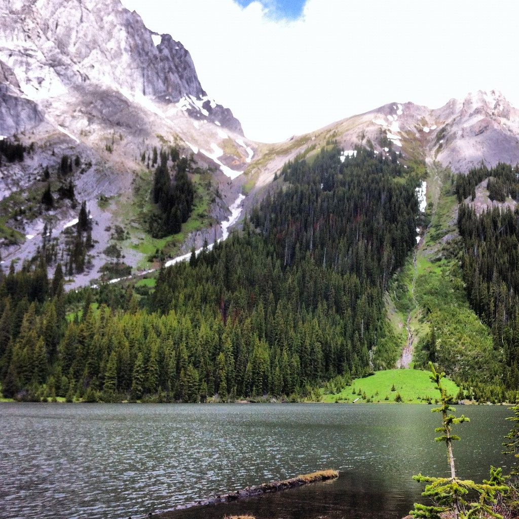
Those broad views take in jagged ranges and U‑shaped, glaciated valleys. The surrounding mountains formed over millions of years through folding and faulting; much of the bedrock is marine‑origin limestone, which can hold fossils if you know what to look for.
Weekdays or early starts help with parking at popular access points. A Kananaskis Conservation Pass is required to park.
Access the spur from Pocaterra Trail about 500 m south of the Whiskey Jack junction; park at the usual Pocaterra/Whiskey Jack access points. A Kananaskis Conservation Pass is required.
In summer, do not continue south past the lookout—the route isn’t maintained and has unbridged stream crossings. In winter the trail is part of the groomed cross‑country ski system; pedestrians and dogs aren’t permitted there, and the south side is steeper—use extra caution.
Place
Place
Place
Place
Moderate
Challenging
Moderate
Challenging

Parkwolf Tour Guide
