
Place
Moderate
This is a 4.5 km (about 2.8 miles) loop with an intermediate feel, routed through forest and open clearings near the site of the old Pocaterra penstock. It’s a year‑round option: hiking in summer; snowshoeing, winter hiking, and fat biking in winter. Expect a mellow outing with occasional short ups and downs rather than one big climb.
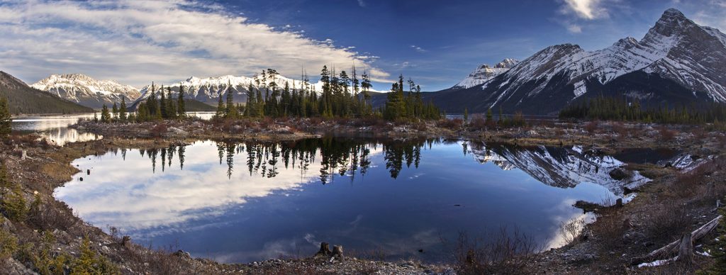
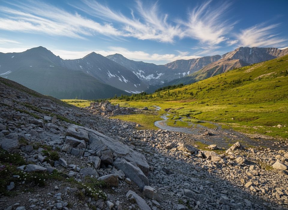
The east half threads sheltered trees—quiet, wind‑protected, and pleasantly scenic. The west side opens up with bigger vistas, including looks toward the Opal Range, plus the occasional creek view. History buffs will like the industrial heritage touches still visible along the way, especially the Kent Creek sluiceway; the penstock itself has been upgraded and buried, but the story is still on the landscape.
Surfaces are natural singletrack. Elevation gain varies by the exact line you follow, but you’ll feel a modest amount of rolling terrain (think roughly a few hundred feet total). Shoulder seasons can run muddy in spots. In winter, expect packed snow; snowshoes or traction help once things get slick.
Park at the Pocaterra Day Use/Pocaterra Parking Lot and take the short Tailwater connector to the loop. (In winter, that connector is a signed route and crosses Kananaskis Lakes Road—use caution.) A Kananaskis Conservation Pass is required to park. Group size on this trail is limited to 35. Dogs are allowed; keep them leashed and under control, especially on the multi‑use winter surface.
Summer is straightforward for a quick forest‑and‑views loop. In winter, it shines for snowshoeing or a casual fat‑bike spin after fresh snow. On windy days, you’ll appreciate the tree cover on the east half; the west side can feel exposed. If you’re using third‑party maps, note that distances can differ—follow on‑site signage for the official 4.5 km loop.
Yes—especially if you want an easygoing loop with a dash of hydro‑history and mountain views. It isn’t the park’s most dramatic scenery, but it’s dependable, family‑friendly in good conditions, and a smart pick for stormy or short‑window days.
Pocaterra Day Use/Pocaterra Parking Lot; access the loop via the Tailwater connector. A Kananaskis Conservation Pass is required to park.
Winter surface is shared with fat bikes and hikers; carry traction or snowshoes when icy. Bears are active in this area—use bear‑safe practices. The Tailwater approach crosses Kananaskis Lakes Road; watch for traffic.
Place
Place
Place
Place
Moderate

Challenging
Moderate
Challenging

Parkwolf Tour Guide
