1 active Pfeiffer Big Sur alert
- ClosurePfeiffer Big Sur State Park closed for fire impactsPfeiffer Big Sur State Park is currently closed; do not enter.Official details
Campground · Pfeiffer Big Sur State Park
Two tent-only group camps reached by a seasonal river footbridge.
Overview
Map
Plan your stop

The highest, rockiest slopes around here are a summer buffet for grizzly bears.
Pfeiffer Big Sur Tour Guide
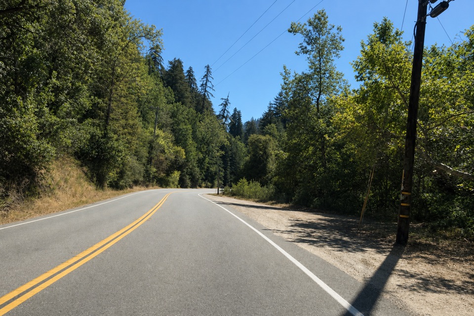
Parkwolf is a GPS audio tour guide for Pfeiffer Big Sur State Park. As you drive, it chimes in with what’s ahead: hidden gems, upcoming stops, history, geology, and wildlife, right through your car’s speakers.
Recorded for this area
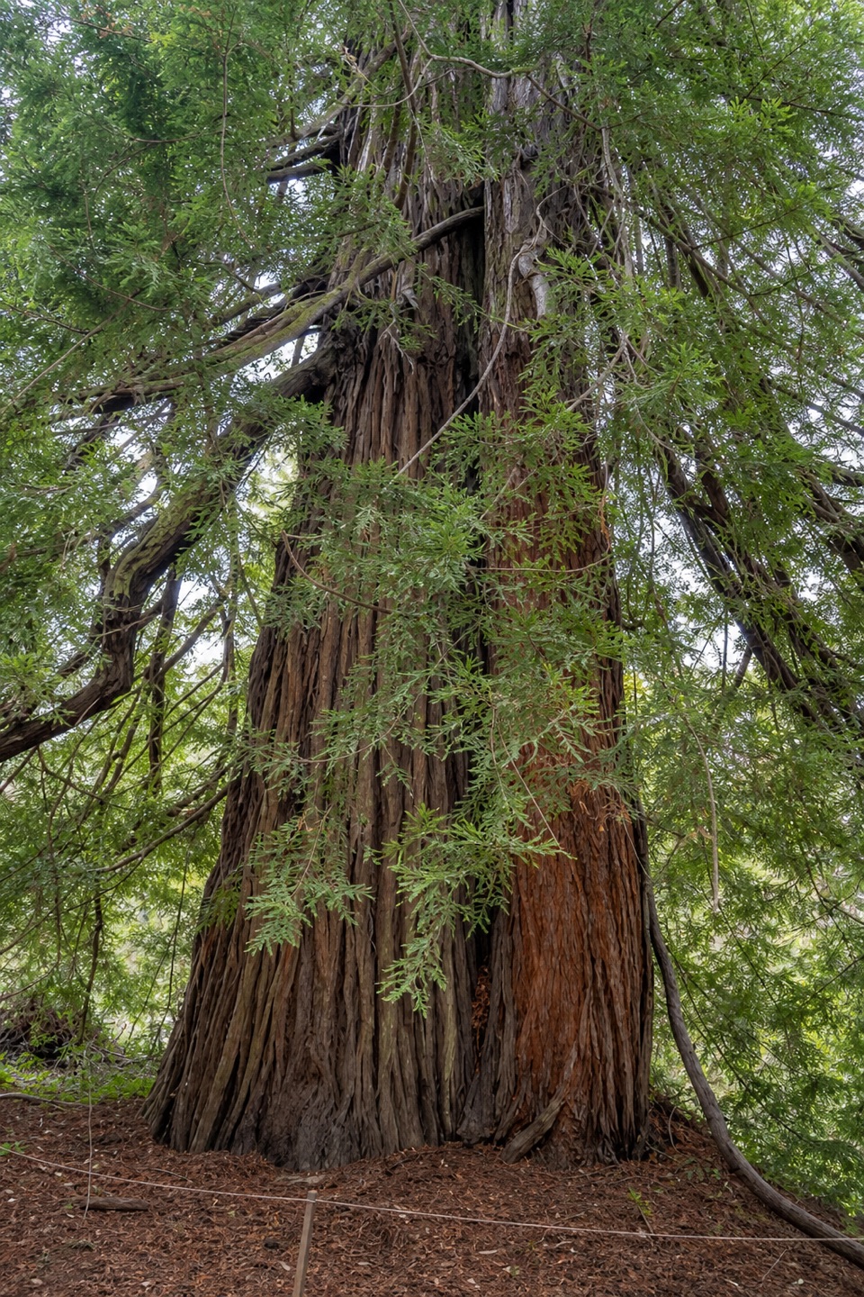
Big Sur Lodge and Redwood Deck“Up ahead is the Big Sur Lodge area, with Redwood Deck nearby for a close look at the trees without a strenuous hike. These coast redwoods are near the southern edge of their natural range.”
Plays on the road 0.2 mi from Pfeiffer Big Sur Group Camp in the Parkwolf Pfeiffer Big Sur Tour Guide.
More stories near here in the app
“Fantastic app with many points of information… It’s great to just turn on while you’re driving and it gives you an audio tour of the national Park. We love it!!!!”


Guide
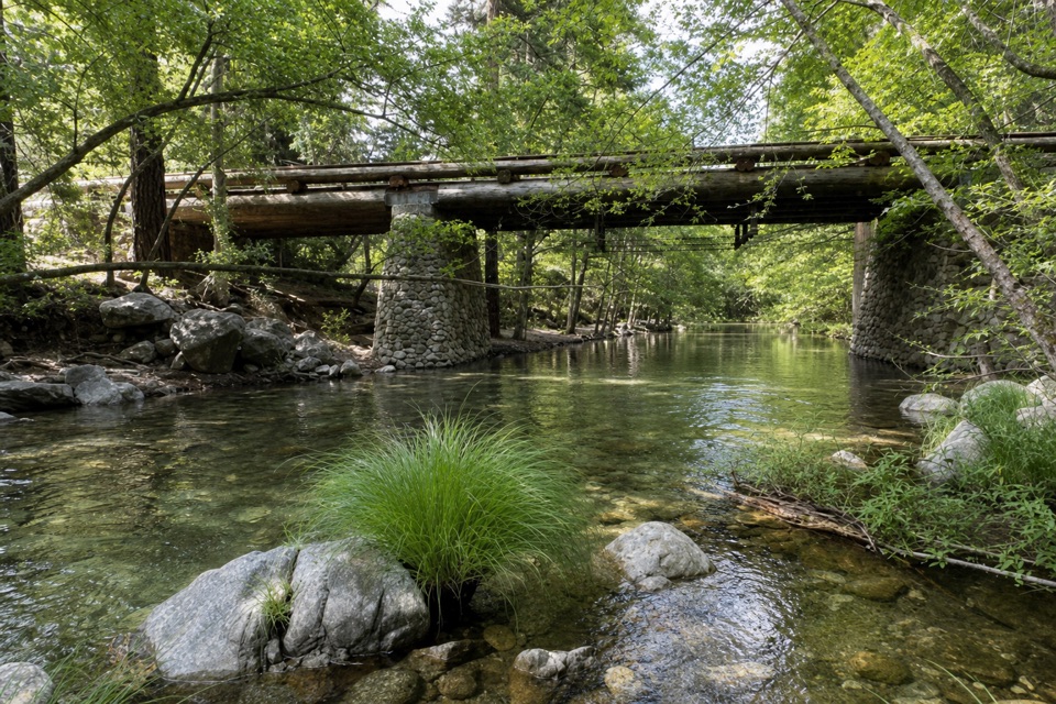
Pfeiffer Big Sur Group Camp is the park’s pair of walk-in tent group camps, A and B, west of Highway 1 near the Big Sur River. Each is a separate site for 9 to 35 people, distinct from the main campground.
Park on the west side of Highway 1 and walk about a quarter mile to the camps. The route crosses the Big Sur River on a seasonal wooden footbridge. There’s no vehicle access to the camps, and they’re tent-only, with no trailers or motorhomes.
Each site has a large camping area, a metal fire ring, potable water, picnic tables and flush toilets. Both have access to a small amphitheater with seating for 50. There are no showers at the group camps, though campers can use pay showers in the main campground. Fires belong in the provided rings; don’t gather firewood in the park.
Wildlife
 10 sightingsCalifornia CondorMost seen around 1 PMSighting map
 55 sightingsWild TurkeyMost seen around 7 AMSighting map
 100 sightingsMule DeerMost seen around 6 PMSighting map
 36 sightingsTurkey VultureMost seen around 1 PMSighting map
 46 sightingsAcorn WoodpeckerMost seen around 9 AMSighting map
 11 sightingsGray FoxMost seen around 6 PMSighting map
Sighting maps show where each species has been reported across Pfeiffer Big Sur. Wildlife moves, so no sighting is guaranteed.
Keep exploring
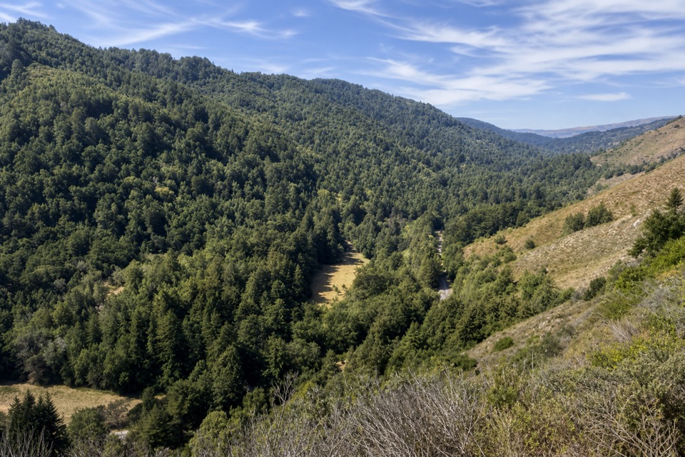 ModerateValley View Trail1.8 mi · 1.8 hr · 0.3 mi awayA short, steep climb to a bench above Big Sur River Valley.
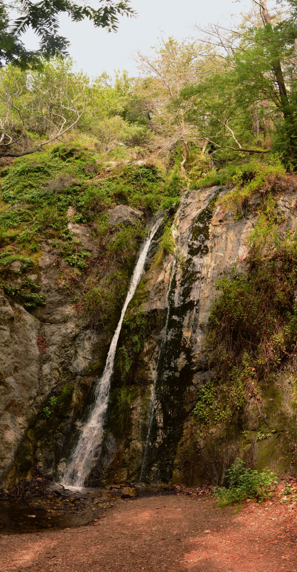 ModeratePfeiffer Falls Trail1.1 mi · 1.3 hr · 0.3 mi awayA short redwood climb to a delicate waterfall.
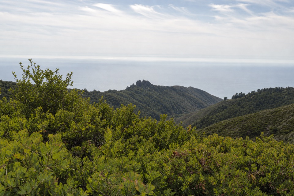 ModerateBuzzard's Roost Trail3 mi · 2.5 hr · 0.4 mi awayShady redwoods give way to a sunny ridge above the ocean.
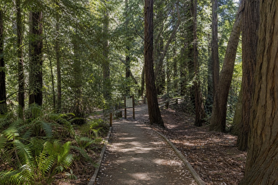 EasyRiver Path and Warden's Path0.6 mi · 18 min · 0.4 mi awayAn easy river loop under redwoods, linked by footbridges.
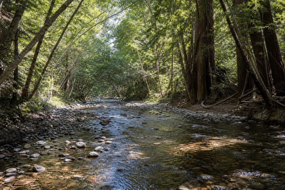 EasyNature Trail0.7 mi · 30 min · 0.5 mi awayAn easy redwood walk with twelve plant stops and a river return.
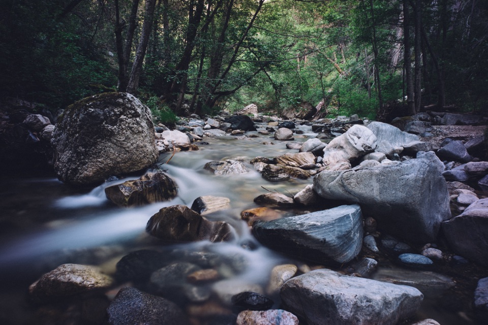 ChallengingSykes Hot Springs via Pine Ridge Trail19 mi · 13 hr · 0.8 mi awayA long backcountry trek earns a soak beside the Big Sur River.
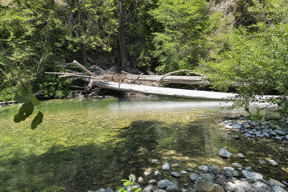 ChallengingPine Ridge Trail to Ventana Camp9.9 mi · 7 hr · 0.8 mi awayA tough Pine Ridge out-and-back to a riverside camp.
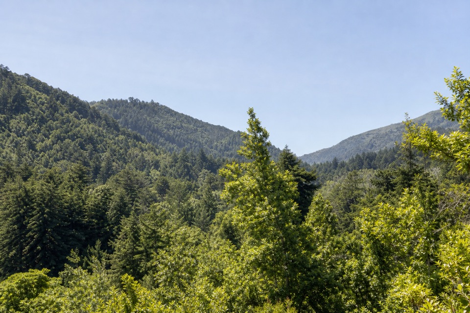 ModeratePine Ridge and Post Creek Trail3.3 mi · 1.8 hr · 0.8 mi awayA redwood climb ends at a platform above a wooded valley.
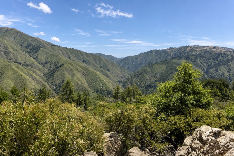
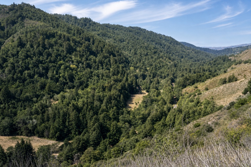 Sight · 0.3 mi awayValley View OverlookA steep climb opens onto a wide valley view toward Point Sur.
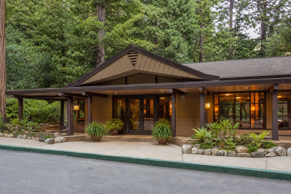 Lodging · 0.3 mi awayBig Sur LodgeSleep among redwoods with the park’s trails close by.
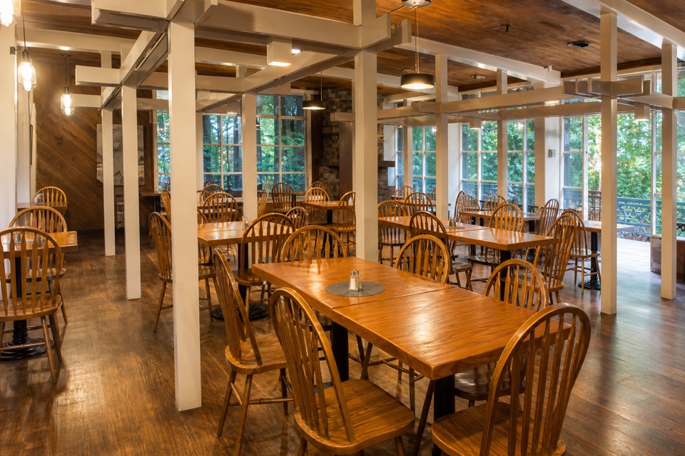 Restaurant · 0.3 mi awayHomestead RestaurantA redwood-set meal with a patio over the Big Sur River.
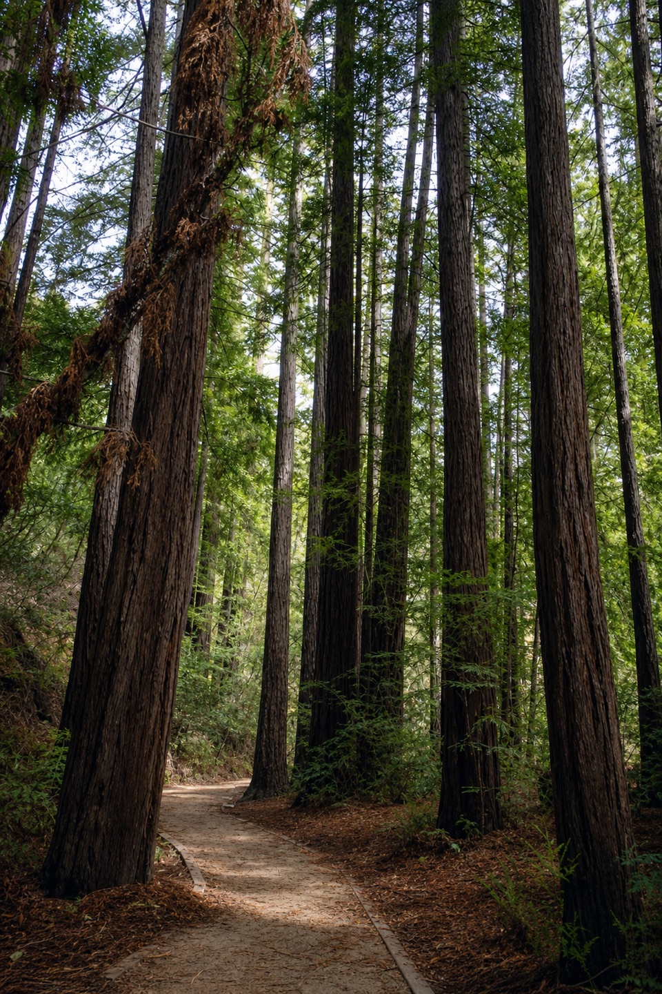 Sight · 0.4 mi awayRedwood DeckA shady redwood stop that doesn’t need a strenuous hike.
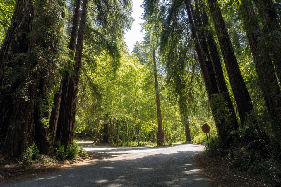 Entrance station · 0.4 mi awayPfeiffer Big Sur State Park Entrance KioskThe first stop for campground check-in and firewood.
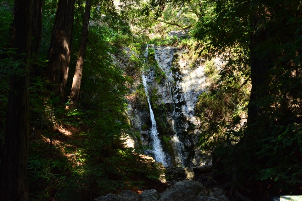 Sight · 0.4 mi awayPfeiffer FallsA 60-foot cascade tucked into a redwood ravine.
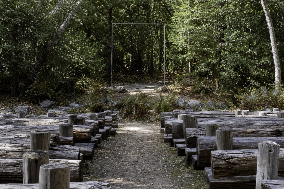 Sight · 0.4 mi awayCampfire CenterA wooded amphitheater where the audience gathers around a fire circle.
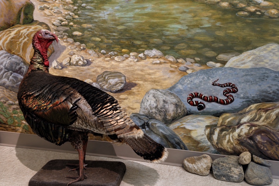 Visitor center · 0.4 mi awayEwoldsen Memorial Nature CenterTry the digital condor flight built from real local flight paths.
Parkwolf’s Pfeiffer Big Sur ranking

The audio tour guide for the drive, plus offline maps, trails, and wildlife heatmaps for when the signal drops.