Parking
Use Day Use Lot 1 or 2, then follow River Path and cross the Redwood Deck to the trail start. The lot-to-trail walk is separate from the 1.8-mile trail distance.

#4 of 11 trails in Pfeiffer Big Sur
Pfeiffer Big Sur State Park, CA
A short, steep climb to a bench above Big Sur River Valley.
Overview
Map & elevation
Plan your hike

The highest, rockiest slopes around here are a summer buffet for grizzly bears.
Pfeiffer Big Sur Tour Guide
Parkwolf is a GPS audio tour guide for Pfeiffer Big Sur State Park. As you drive, it chimes in with what’s ahead: hidden gems, upcoming stops, history, geology, and wildlife, right through your car’s speakers.
Recorded for this trailhead
Pfeiffer Falls: The Redwood Ravine“The Pfeiffer Falls trailhead is coming up, with a sixty-foot waterfall at the end of a redwood ravine. Allow an hour to ninety minutes for the one point one mile round trip, with steady climbing and uneven timber steps.”
Plays as you drive up to this trailhead in the Parkwolf Pfeiffer Big Sur Tour Guide.
More stories near here in the app
“Fantastic app with many points of information… It’s great to just turn on while you’re driving and it gives you an audio tour of the national Park. We love it!!!!”


Trail guide
Valley View Trail is a 1.8-mile out-and-back from the trail access reached via River Path and the Redwood Deck to a bench above the Big Sur River Valley. It gains about 500 feet in all: roughly 200 feet to the first fork, then another 300 feet on the Valley View branch. Allow about 1.5 to 2 hours with a stop at the top. It suits anyone who wants a real uphill walk through redwoods and oaks for a broad valley view; the climb is steady enough that it feels like a hike rather than a casual stroll.
A 2-mile figure is also used for the combined Valley View and Pfeiffer Falls outing. This route takes the Valley View branch only and retraces the same trail to the start. The mapped corridor is about 0.9 mile each way; the walk from the day-use lots is additional.
Day visitors use Day Use Lot 1 or 2, then follow River Path and cross the Redwood Deck to reach the trail access. The first stretch climbs through redwood and oak woodland to a signed fork, which comes before the quarter-mile mark. Take the left branch over the short wooden bridge for Valley View. The right branch heads toward Pfeiffer Falls, a separate destination. Higher up, stay with the Valley View route at the next junction rather than following the Falls spur. Walk to the overlook and return the way you came; there is no loop in this itinerary. Route descriptions sometimes combine both destinations, so follow the signs rather than treating the Falls branch as part of this hike.
The shared approach gains about 200 feet beneath redwood and oak canopy. A creekside grove adds ferns and redwood sorrel under the larger trees, giving the first stretch some interest before the fork. The Valley View spur then climbs another roughly 300 feet toward an oak-covered hillside. It gets narrower as you approach the overlook, and the final steps are uneven and rocky. Poison oak has been reported beside this section, so keep to the tread instead of brushing through the edges. A single bench at the end is a welcome place to pause before the return descent.
The endpoint opens across the Big Sur River Valley, with wooded ridges and distant views toward Andrew Molera State Park and Point Sur Lighthouse when visibility allows. The vista is broad, but the final climb is enough work that not everyone finds the view equally rewarding; I’d choose the walk if the redwood approach sounds good too. At the bench, frame the open center of the valley and include Point Sur in the distance when you can see it. That gives a phone photo more depth than filling the frame with one ridge.
Use Day Use Lot 1 or 2, then follow River Path past the Redwood Deck to the trail start across the river. That short approach from the lots is not included in the 1.8-mile trail distance. Big Sur Lodge has a cafe and grocery store elsewhere in the park, but neither is on this route.
Dogs are not allowed on Valley View Trail. The park allows them on River Path and Warden’s Path and in developed day-use areas, but not on other trails; service animals are permitted. The narrow upper tread, poison oak and rocky steps are the main reasons this short walk can feel tougher than its mileage suggests.
Wildlife
 10 sightingsCalifornia CondorMost seen around 1 PMSighting map
 55 sightingsWild TurkeyMost seen around 7 AMSighting map
 101 sightingsMule DeerMost seen around 6 PMSighting map
 36 sightingsTurkey VultureMost seen around 1 PMSighting map
 46 sightingsAcorn WoodpeckerMost seen around 9 AMSighting map
 11 sightingsGray FoxMost seen around 6 PMSighting map
Sighting maps show where each species has been reported across Pfeiffer Big Sur. Wildlife moves, so no sighting is guaranteed.
Keep exploring
 ModerateBuzzard's Roost Trail3 mi · 2.5 hr · 0.1 mi awayShady redwoods give way to a sunny ridge above the ocean.
 ModeratePfeiffer Falls Trail1.1 mi · 1.3 hr · 0.2 mi awayA short redwood climb to a delicate waterfall.
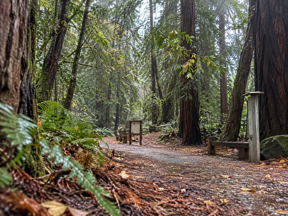 EasyRiver Path and Warden's Path0.6 mi · 18 min · 0.2 mi awayAn easy river loop under redwoods, linked by footbridges.
 EasyNature Trail0.7 mi · 30 min · 0.3 mi awayAn easy redwood walk with twelve plant stops and a river return.
 ChallengingSykes Hot Springs via Pine Ridge Trail19 mi · 13 hr · 0.5 mi awayA long backcountry trek earns a soak beside the Big Sur River.
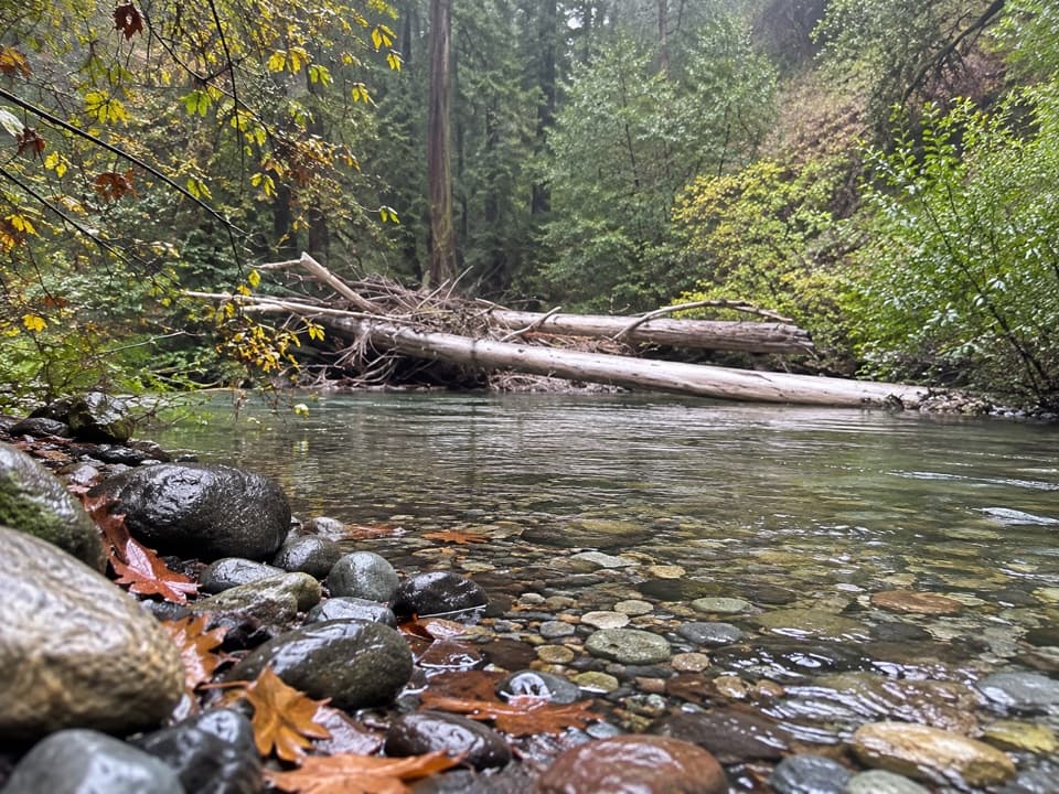 ChallengingPine Ridge Trail to Ventana Camp9.9 mi · 7 hr · 0.5 mi awayA tough Pine Ridge out-and-back to a riverside camp.
 ModeratePine Ridge and Post Creek Trail3.3 mi · 1.8 hr · 0.5 mi awayA redwood climb ends at a platform above a wooded valley.
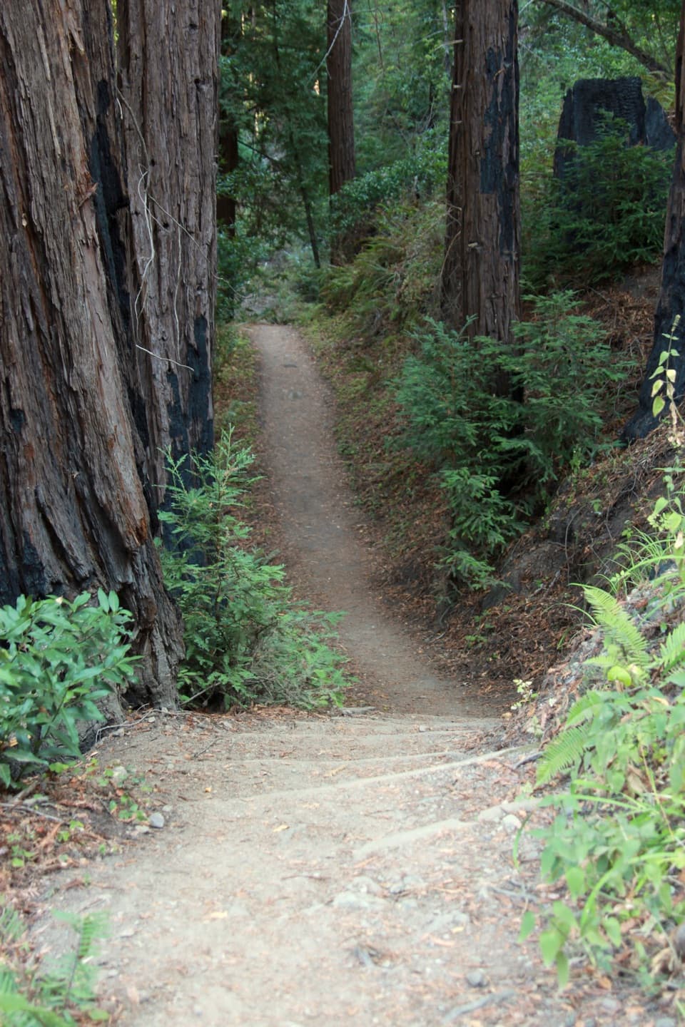 ChallengingPine Ridge Trail22.3 mi · 14 hr · 0.5 mi awayA strenuous, one-way traverse from river redwoods to high ridges
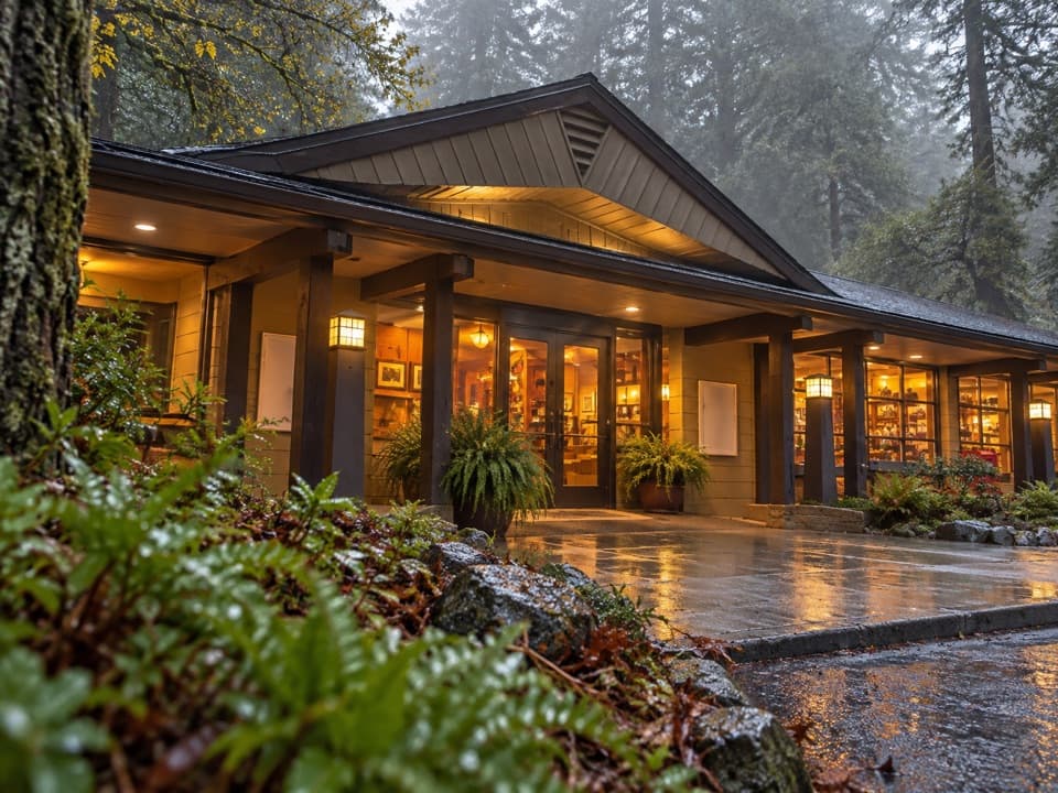 Lodging · At the trailheadBig Sur LodgeSleep among redwoods with the park’s trails close by.
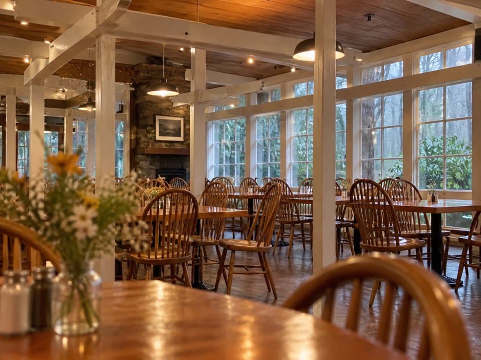 Restaurant · At the trailheadHomestead RestaurantA redwood-set meal with a patio over the Big Sur River.
 Sight · 0.1 mi awayRedwood DeckA shady redwood stop that doesn’t need a strenuous hike.
 Visitor center · 0.1 mi awayEwoldsen Memorial Nature CenterTry the digital condor flight built from real local flight paths.
 Entrance station · 0.2 mi awayPfeiffer Big Sur State Park Entrance KioskThe first stop for campground check-in and firewood.
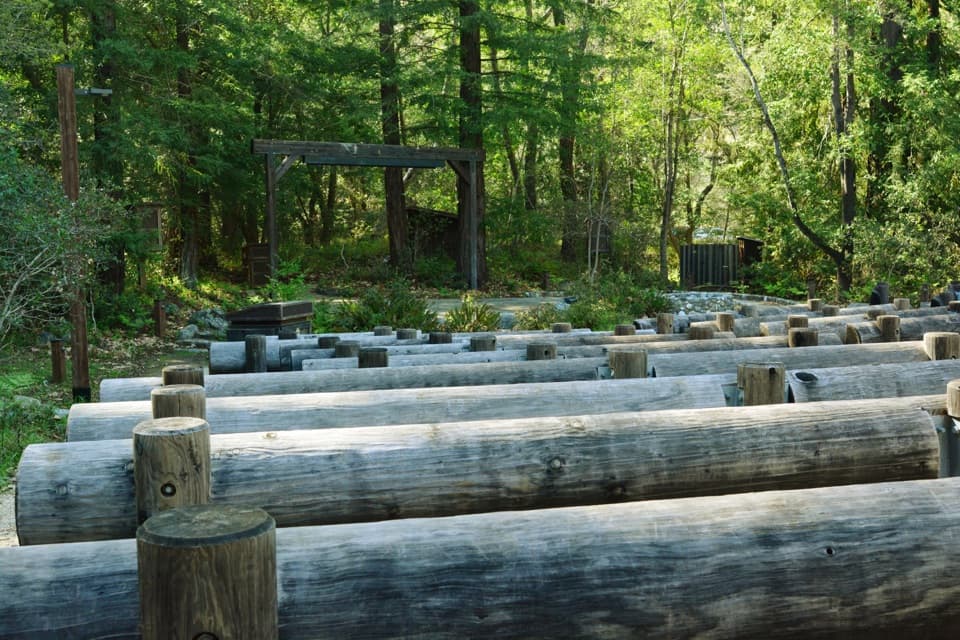 Sight · 0.2 mi awayCampfire CenterA wooded amphitheater where the audience gathers around a fire circle.
 Picnic area · 0.2 mi awayMain Day Use Picnic AreaA shady, practical meal stop among Pfeiffer Big Sur’s park walks.
 Sight · 0.2 mi awayWarden's HouseA small CCC-era warden's house in park-rustic stone and timber.
Parkwolf’s Pfeiffer Big Sur ranking

The audio tour guide for the drive, plus offline maps, trails, and wildlife heatmaps for when the signal drops.