Overview
About Big Sur River Gorge
Why stop
- Natural pools framed by rock walls and redwood shade.
Heads up
- The pools require hazardous wading and boulder scrambling.
- Warm-day crowds can leave little room to sit.
Map
Where it is

The highest, rockiest slopes around here are a summer buffet for grizzly bears.
Pfeiffer Big Sur Tour Guide
Your drive to Big Sur River Gorge, narrated.
Parkwolf is a GPS audio tour guide for Pfeiffer Big Sur State Park. As you drive, it chimes in with what’s ahead: hidden gems, upcoming stops, history, geology, and wildlife, right through your car’s speakers.
Recorded for this place
Big Sur River Gorge: Beyond the Paved Path“You're approaching Day Use Lot Three, the starting point for the Big Sur River Gorge Trail. The paved half-mile round trip takes twenty to thirty minutes, ending where the undeveloped gorge begins.”
Plays as you drive up to Big Sur River Gorge in the Parkwolf Pfeiffer Big Sur Tour Guide.
More stories near here in the app
- Colonial Tree and the Riverside Picnic Areas
- Mount Manuel Trail: A Full Day Above the Gorge
- Pfeiffer Big Sur Campground and Camp Store
- Big Sur Station: Gateway to Pine Ridge
- 10 audio storiesacross Pfeiffer Big Sur’s roads, triggered by GPS as you drive
- Wildlife heatmapsfor California Condor, Wild Turkey, Mule Deer, and 13 more
- Works offlinemaps, 11 trails, 20 places, and audio download before you lose signal
- CarPlay readysimple controls built for the drive
“Fantastic app with many points of information… It’s great to just turn on while you’re driving and it gives you an audio tour of the national Park. We love it!!!!”


Guide
More about Big Sur River Gorge
A river gorge, beyond the easy approachThis is an undeveloped stretch of the Big Sur River, shaded by coast redwoods and known for a…
This is an undeveloped stretch of the Big Sur River, shaded by coast redwoods and known for a string of upstream pools. The paved Gorge Trail brings you to the area, but the main draw lies farther along the river. Go if you are comfortable wading and scrambling; if you want a straightforward paved outing, stay on the path rather than treating the gorge as an easy swimming stop.
The hard part begins at the riverBeyond the paved approach, continuing means wading in the river and climbing around boulders…
Beyond the paved approach, continuing means wading in the river and climbing around boulders and logs. There is no maintained trail through this section, and loose rock, slippery surfaces and unstable ground make it hazardous. Wear footwear with grip that can get wet, move carefully, and don't assume shoes make slick rock safe. The park prohibits jumping and diving into the river.
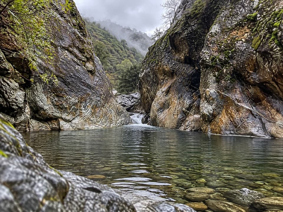
Pools framed by rockSmaller pools lead toward a larger basin tucked between high granite walls.
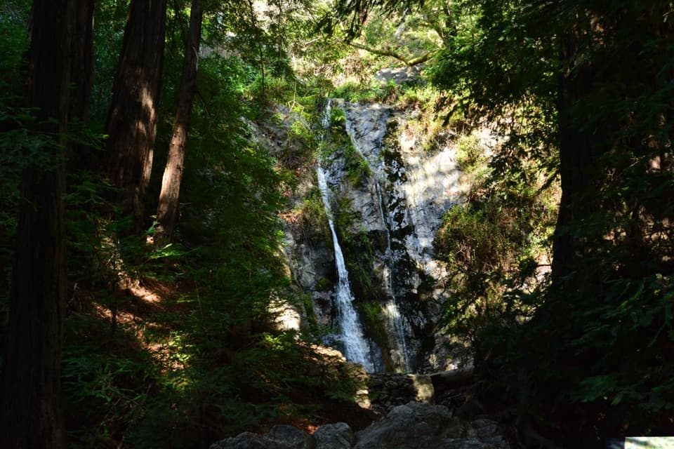
Smaller pools lead toward a larger basin tucked between high granite walls. The water and rock give the gorge its draw, but pool shape and depth are not fixed; river flow and shifting sediment change what you find. Treat earlier photos as a look at the setting, not a map of current conditions. If footing is safe, frame a pool with its rock wall and a foreground boulder for scale; don't climb loose rocks or enter fast water to get the shot.
Redwood shade along a mountain riverThe Big Sur River runs below the western slope of the Santa Lucia Mountains.
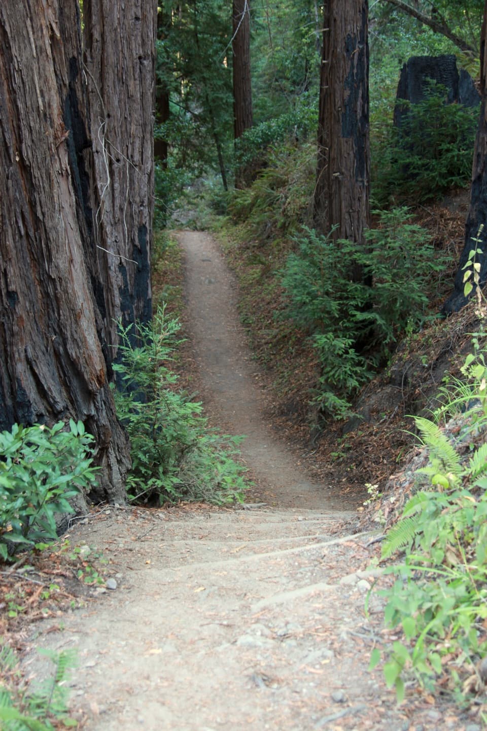
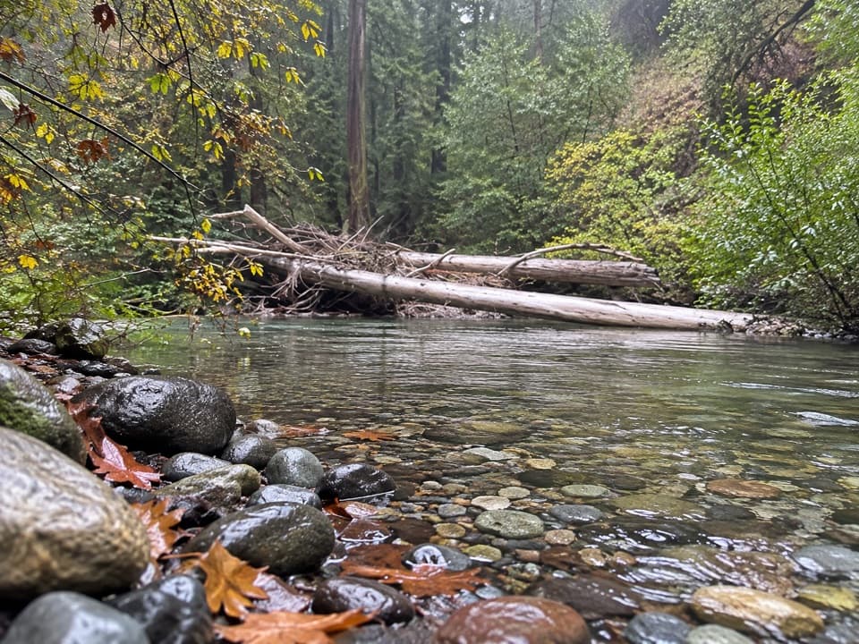
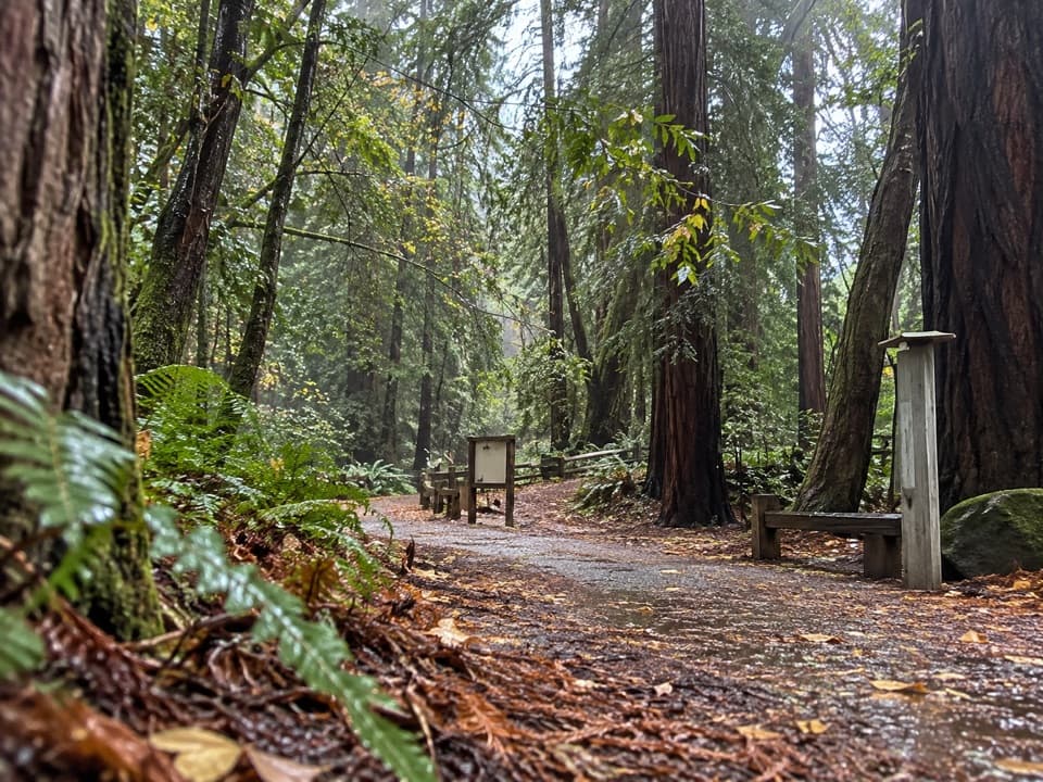
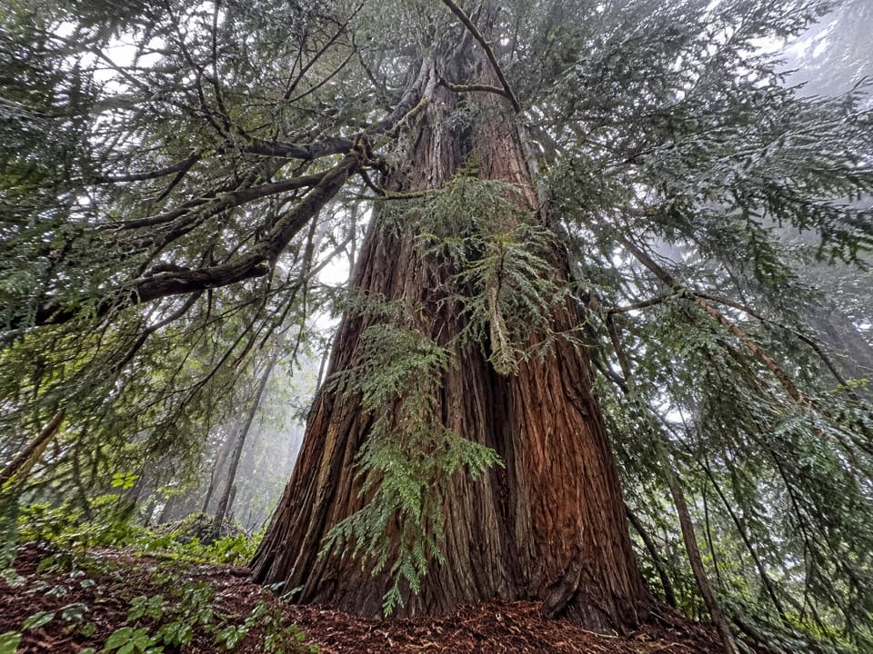
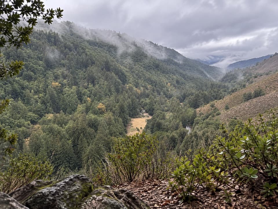
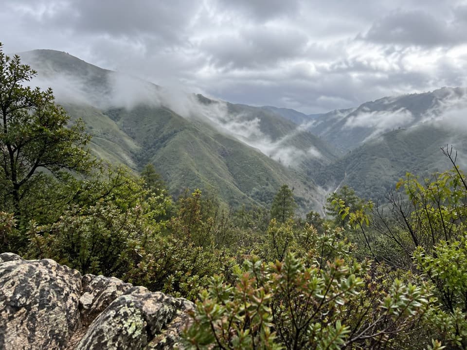
The Big Sur River runs below the western slope of the Santa Lucia Mountains. Coast redwoods here are near the southern edge of their natural range, while sycamores, cottonwoods, maples, alders and willows line the water. That mix of redwood shade, open river and large rock is what makes this more than a quick look at a creek.
Leave the riverbed as you found itThe park asks visitors to protect fish nests and leave rocks and branches in place.
The park asks visitors to protect fish nests and leave rocks and branches in place. Its interpretive material also identifies steelhead among the park's sensitive wildlife. Take in the pools without rearranging the riverbed. Dogs are not allowed in the river or natural areas; service animals are the exception.
Pack for a self-contained stopDay Use Lot 3 is the customary starting point for the paved access.
Day Use Lot 3 is the customary starting point for the paved access. There is no food service at the gorge; the park's cafe and small grocery store are at Big Sur Lodge, a separate stop. Bring food and water before heading to the river, and don't count on a nearby facility beside the pools.
Wildlife
Wildlife in Pfeiffer Big Sur
 10 sightingsCalifornia CondorMost seen around 1 PMSighting map
 55 sightingsWild TurkeyMost seen around 7 AMSighting map
 101 sightingsMule DeerMost seen around 6 PMSighting map
 36 sightingsTurkey VultureMost seen around 1 PMSighting map
 46 sightingsAcorn WoodpeckerMost seen around 9 AMSighting map
 11 sightingsGray FoxMost seen around 6 PMSighting map
Sighting maps show where each species has been reported across Pfeiffer Big Sur. Wildlife moves, so no sighting is guaranteed.