Overview
About Valley View Overlook
Why stop
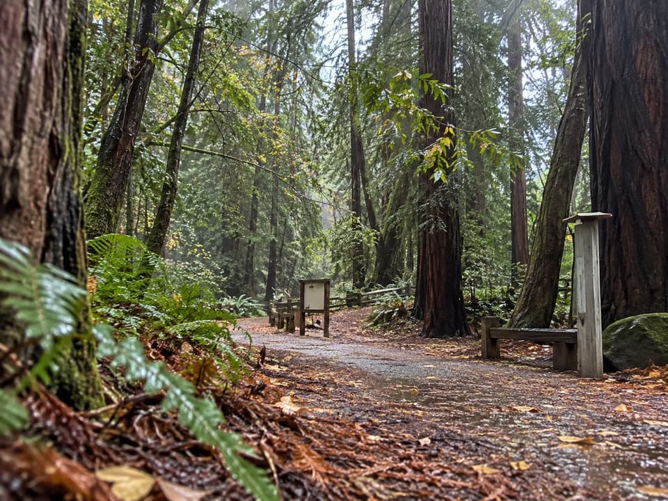
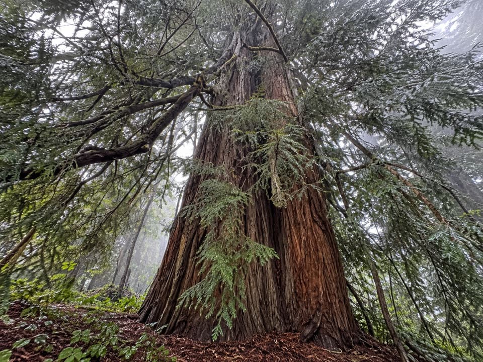
- The redwood-and-oak climb adds variety before the valley panorama.
Heads up
- About 500 feet of climbing, and hikers differ on whether the view repays it.
Map
Where it is

The highest, rockiest slopes around here are a summer buffet for grizzly bears.
Pfeiffer Big Sur Tour Guide
Your drive to Valley View Overlook, narrated.
Parkwolf is a GPS audio tour guide for Pfeiffer Big Sur State Park. As you drive, it chimes in with what’s ahead: hidden gems, upcoming stops, history, geology, and wildlife, right through your car’s speakers.
Recorded for this place
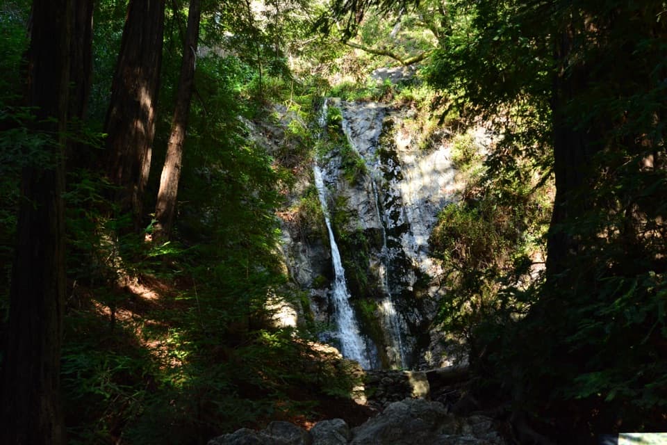
Pfeiffer Falls: The Redwood Ravine“The Pfeiffer Falls trailhead is coming up, with a sixty-foot waterfall at the end of a redwood ravine. Allow an hour to ninety minutes for the one point one mile round trip, with steady climbing and uneven timber steps.”
Plays as you drive up to Valley View Overlook in the Parkwolf Pfeiffer Big Sur Tour Guide.
More stories near here in the app
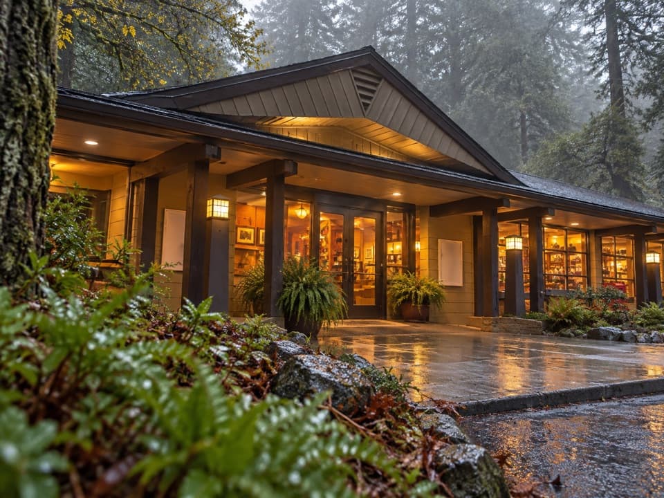
- Big Sur Lodge and Redwood Deck
- Ewoldsen Nature Center: Fly Like a Condor
- Mount Manuel Trail: A Full Day Above the Gorge
- The Trout That Go to Sea
- 10 audio storiesacross Pfeiffer Big Sur’s roads, triggered by GPS as you drive
- Wildlife heatmapsfor California Condor, Wild Turkey, Mule Deer, and 13 more
- Works offlinemaps, 11 trails, 20 places, and audio download before you lose signal
- CarPlay readysimple controls built for the drive
“Fantastic app with many points of information… It’s great to just turn on while you’re driving and it gives you an audio tour of the national Park. We love it!!!!”


Guide
More about Valley View Overlook
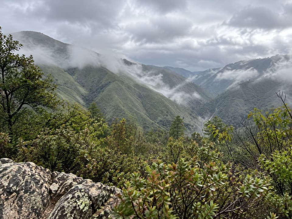
What the climb gets youValley View Overlook is a hillside viewpoint at the end of the left branch of the shared…
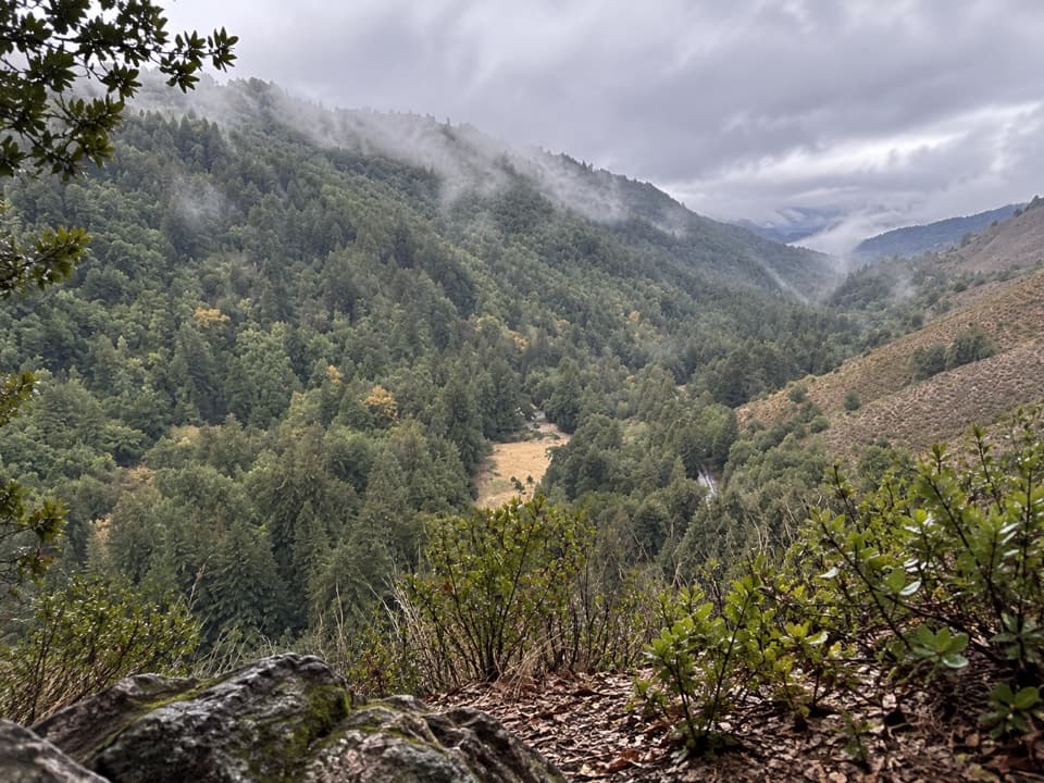
Valley View Overlook is a hillside viewpoint at the end of the left branch of the shared Pfeiffer Falls and Valley View hike. From the open slope, the Big Sur River Valley stretches toward Point Sur and Andrew Molera. The park lists the walk at 2 miles round trip: climb about 200 feet to the fork, then another 300 feet on the left branch. It is a short hike by distance, but a real uphill effort. Some hikers love the redwooded climb and broad view; others find the payoff modest for the climb.
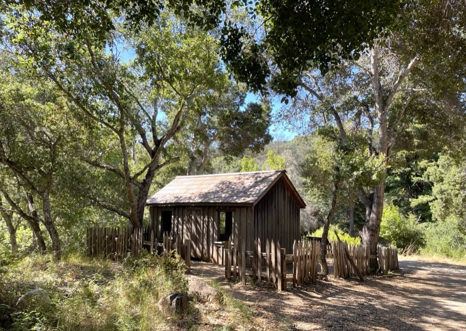
Take the left forkThe shared trail climbs through redwood and oak woodland before the junction.
The shared trail climbs through redwood and oak woodland before the junction. Turn left for Valley View Overlook; the right branch leads to Pfeiffer Falls, so you can make both stops on the same hike. The route description includes steps, a footbridge and switchbacks, then a narrower spur across oak-covered hillside. The posted 2 miles is the park's route figure; check the distance from your actual parking spot, since some visitors walk farther to reach the trail start. Dogs are not allowed on this trail.
Read the panoramaThe overlook looks out over the forested Big Sur River Valley, with Point Sur and Andrew Molera…
The overlook looks out over the forested Big Sur River Valley, with Point Sur and Andrew Molera in the distance. The darker wooded ridge and the lighter open slope give the view its shape. For a photo, keep the valley opening low in the frame and include the ridges on both sides; look toward Point Sur and Andrew Molera when visibility is clear.
A rebuilt approachThe route was rerouted after fires closed the original gorge section in 2008, and the rebuilt…
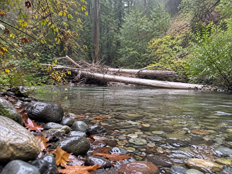
The route was rerouted after fires closed the original gorge section in 2008, and the rebuilt trail opened in 2021. A fallen tree damaged its footbridge in 2023; after repairs, the bridge reopened in September 2025. The approach moves from redwood creek and gorge scenery toward a more open oak hillside before the overlook.
Wildlife
Wildlife in Pfeiffer Big Sur
 10 sightingsCalifornia CondorMost seen around 1 PMSighting map
 55 sightingsWild TurkeyMost seen around 7 AMSighting map
 101 sightingsMule DeerMost seen around 6 PMSighting map
 36 sightingsTurkey VultureMost seen around 1 PMSighting map
 46 sightingsAcorn WoodpeckerMost seen around 9 AMSighting map
 11 sightingsGray FoxMost seen around 6 PMSighting map
Sighting maps show where each species has been reported across Pfeiffer Big Sur. Wildlife moves, so no sighting is guaranteed.