Parking
Start at Big Sur Station, which has a 55-space lot. Finish at China Camp off Tassajara Road, where parking is limited. Arrange your own pickup or second vehicle between the two ends before starting.
Pfeiffer Big Sur State Park, CA
A strenuous, one-way traverse from river redwoods to high ridges
Overview
Map & elevation
Plan your hike

The highest, rockiest slopes around here are a summer buffet for grizzly bears.
Pfeiffer Big Sur Tour Guide
Parkwolf is a GPS audio tour guide for Pfeiffer Big Sur State Park. As you drive, it chimes in with what’s ahead: hidden gems, upcoming stops, history, geology, and wildlife, right through your car’s speakers.
Recorded for this trailhead
Big Sur Station: Gateway to Pine Ridge“You're coming up on Big Sur Station and the Pine Ridge trailhead. The station has wilderness maps and local route advice for the backcountry beyond it. Pine Ridge was built by the Post family in nineteen sixteen.”
Plays as you drive up to this trailhead in the Parkwolf Pfeiffer Big Sur Tour Guide.
More stories near here in the app
“Fantastic app with many points of information… It’s great to just turn on while you’re driving and it gives you an audio tour of the national Park. We love it!!!!”


Trail guide
Pine Ridge Trail 3E06 is a 22.3-mile, one-way crossing of the Ventana Wilderness from Big Sur Station to China Camp on Tassajara Road. It begins among the Big Sur River’s redwood camps, climbs onto high ridges, then descends to a remote road end. This is a point-to-point trip, not a loop, and the two ends are far apart by road: arrange a pickup or a second vehicle before starting. A strong hiker can push it in one long day, but plan about 14 hours on foot; many people make it a two- or three-day backpacking trip using the camps along the way.
The western stretch climbs out from Big Sur Station, then follows the river corridor through shaded camps such as Terrace Creek, Barlow Flat, Sykes and Redwood. Expect several creek and river crossings. High winter water can make them dangerous or impossible to cross, so the season matters even when the route is otherwise passable. Sykes Camp is an intermediate stop on the through-route; the hot springs are a side trip, not the trail’s endpoint.
From Redwood Camp, the trail makes a long, strenuous climb toward Pine Ridge Camp. This is one of the most scenic parts of the crossing, but it also marks a change in the hike: leave the river shade behind and gain a lot of elevation over rough, remote ground. The climb is dry, and Pine Ridge Camp can lack water in very dry years. Treat any water you collect, and don’t count on a refill at camp.
Beyond Pine Ridge, the trail passes Divide and Pine Valley camp areas through higher conifer and mixed-hardwood forest, ridges and open meadows. The route keeps climbing and dropping rather than giving you an easy downhill finish, and reaches about 4,300 feet at China Camp. The payoff is the change in landscape: creekside redwoods at one end, cooler high-country forest and exposed ridges in the middle, then a remote road access at the other.
The Forest Service dates the trail to 1916, when the Post family of Big Sur built it. Today it remains a serious wilderness traverse rather than a maintained park stroll. No Los Padres backcountry permit is required. Dogs are allowed on this route when leashed or kept under voice control; carry that rule through the State Park approach as well.
Start at Big Sur Station, which has a 55-space lot. The eastern end is at China Camp, off Tassajara Road, with limited parking. There’s no confirmed public shuttle between the ends, so sort out your ride before committing to the crossing. The trail’s scale, repeated climbs and remote water access make this a better fit for experienced hikers than for a casual day out.
Wildlife
 10 sightingsCalifornia CondorMost seen around 1 PMSighting map
 55 sightingsWild TurkeyMost seen around 7 AMSighting map
 100 sightingsMule DeerMost seen around 6 PMSighting map
 36 sightingsTurkey VultureMost seen around 1 PMSighting map
 46 sightingsAcorn WoodpeckerMost seen around 9 AMSighting map
 11 sightingsGray FoxMost seen around 6 PMSighting map
Sighting maps show where each species has been reported across Pfeiffer Big Sur. Wildlife moves, so no sighting is guaranteed.
Keep exploring
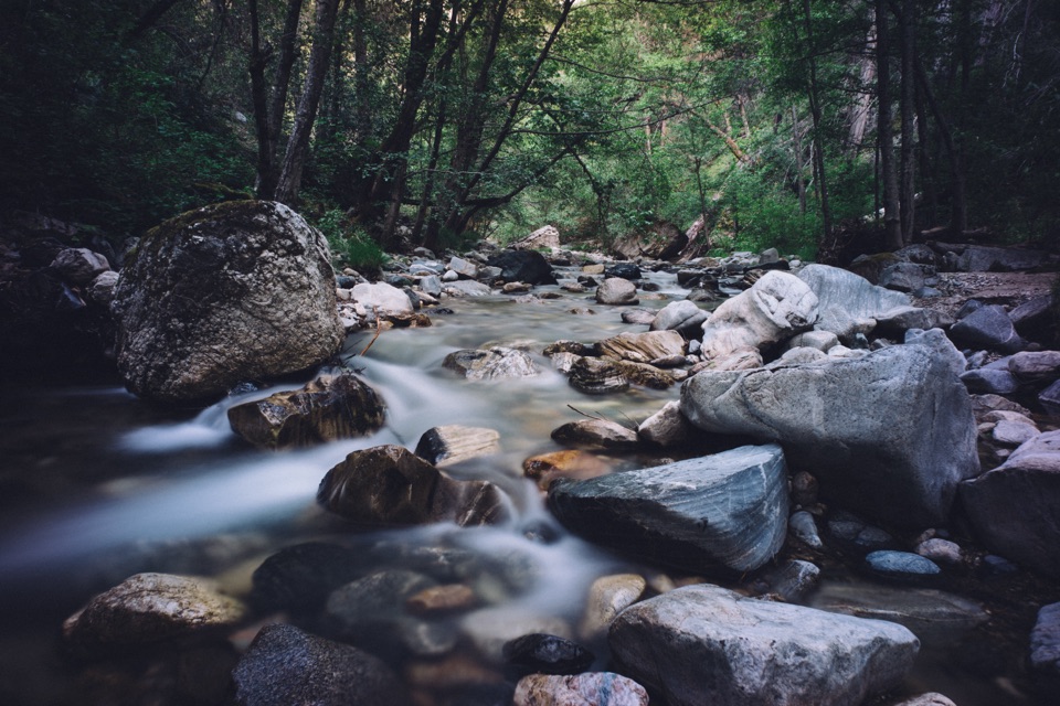 ChallengingSykes Hot Springs via Pine Ridge Trail19 mi · 13 hr · At the trailheadA long backcountry trek earns a soak beside the Big Sur River.
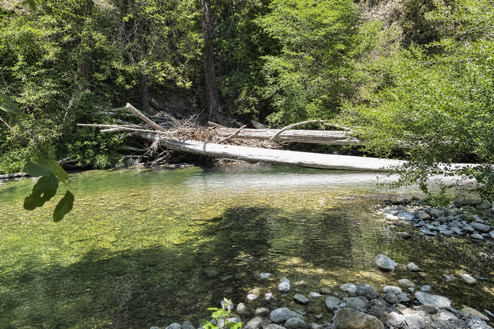 ChallengingPine Ridge Trail to Ventana Camp9.9 mi · 7 hr · At the trailheadA tough Pine Ridge out-and-back to a riverside camp.
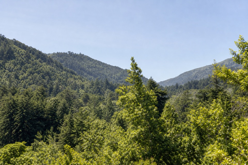 ModeratePine Ridge and Post Creek Trail3.3 mi · 1.8 hr · At the trailheadA redwood climb ends at a platform above a wooded valley.
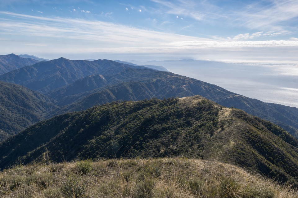 ChallengingMount Manuel Trail9.1 mi · 8 hr · 0.2 mi awayA long, sunny climb to a rocky ridge above Big Sur.
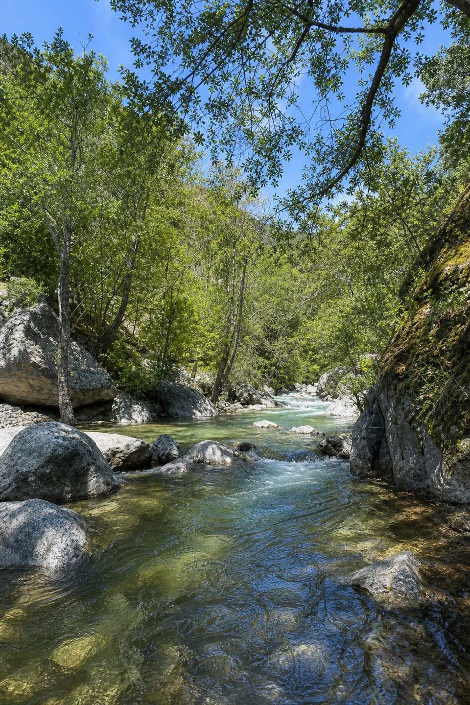 EasyBig Sur River Gorge Trail0.5 mi · 24 min · 0.2 mi awayA short paved walk to the Big Sur River gorge.
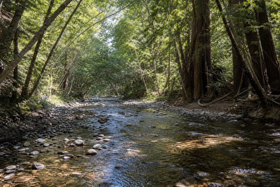 EasyNature Trail0.7 mi · 30 min · 0.3 mi awayAn easy redwood walk with twelve plant stops and a river return.
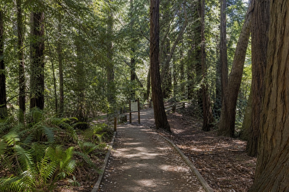 EasyRiver Path and Warden's Path0.6 mi · 18 min · 0.3 mi awayAn easy river loop under redwoods, linked by footbridges.
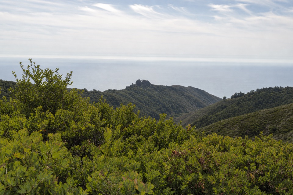 ModerateBuzzard's Roost Trail3 mi · 2.5 hr · 0.4 mi awayShady redwoods give way to a sunny ridge above the ocean.
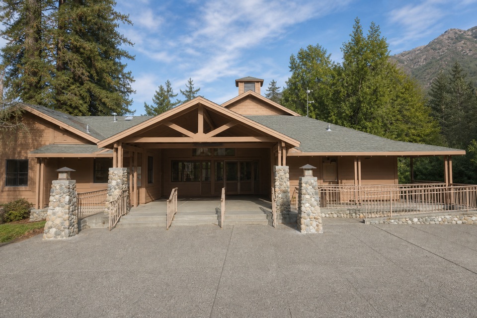 Visitor center · 0.1 mi awayBig Sur Station Visitor CenterGet maps and local advice before choosing your next stop.
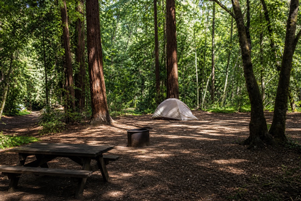 Campground · 0.2 mi awayPfeiffer Big Sur State Park CampgroundA redwood campground with the river and park trails close by.
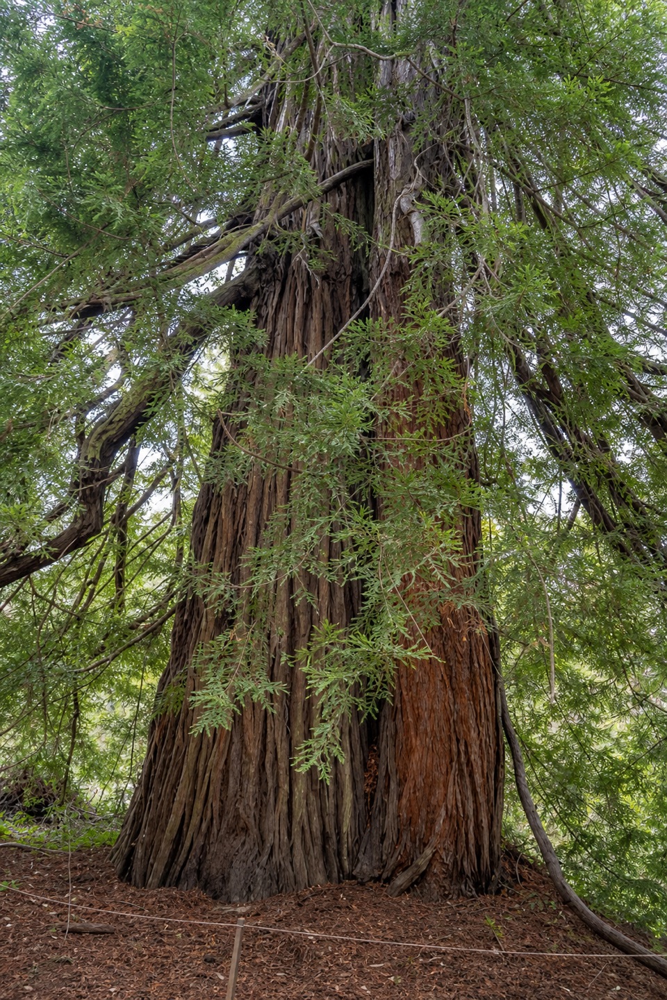 Sight · 0.2 mi awayColonial TreeA quick stop beneath the park’s biggest, probably oldest redwood.
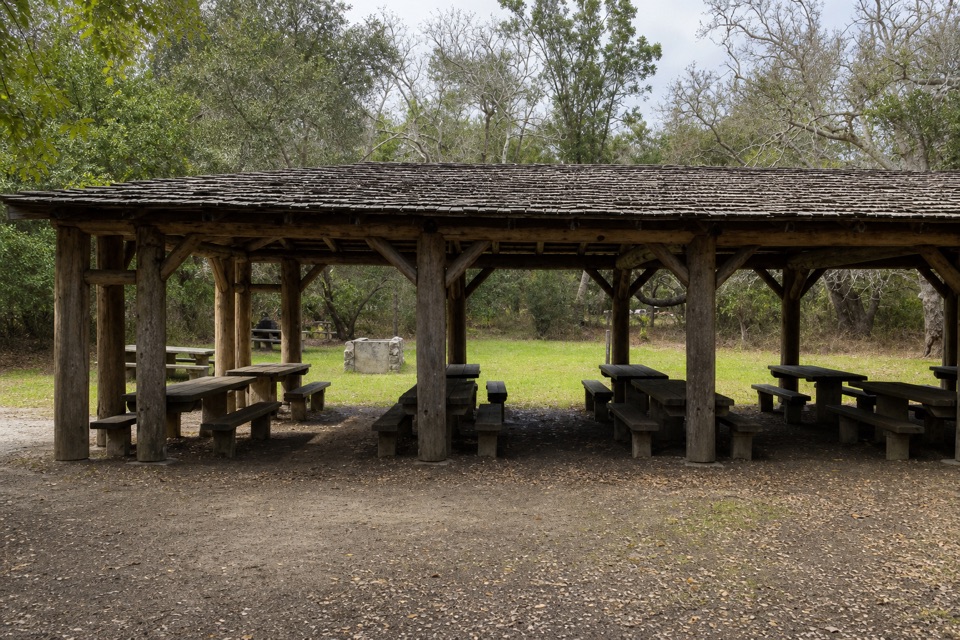 Picnic area · 0.3 mi awayRiverside Picnic Areas A, B and CThree CCC-built picnic areas by the Big Sur River.
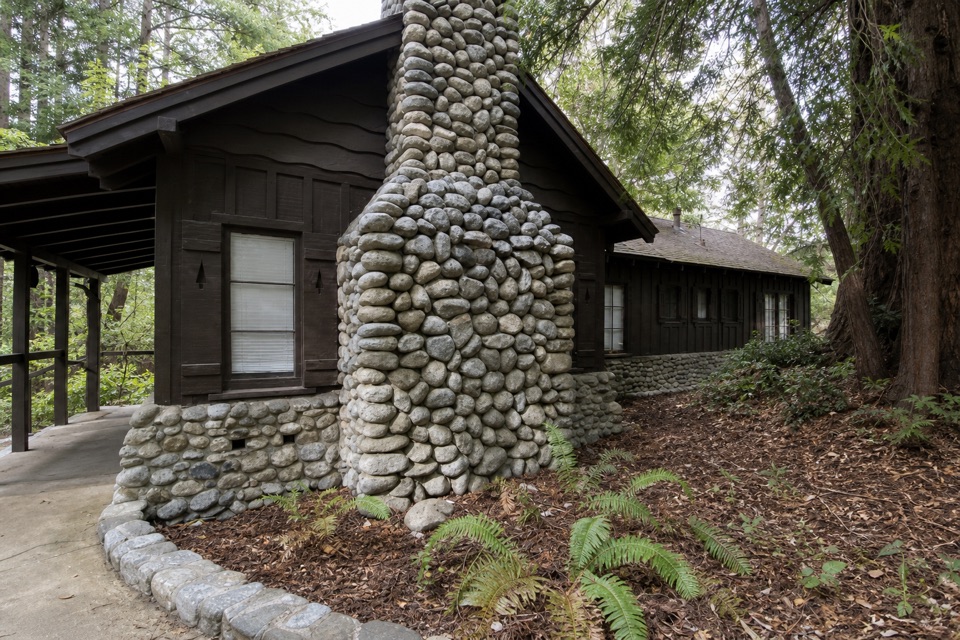 Sight · 0.3 mi awayWarden's HouseA small CCC-era warden's house in park-rustic stone and timber.
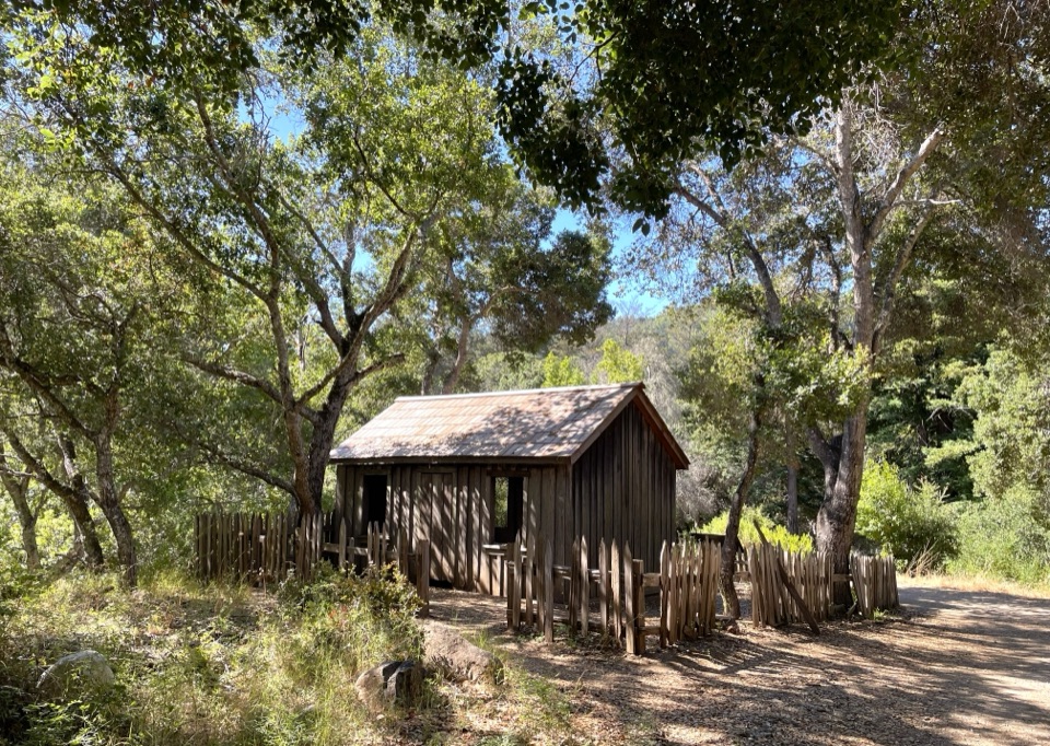 Sight · 0.3 mi awayHomestead CabinA brief heritage stop before Big Sur River Gorge.
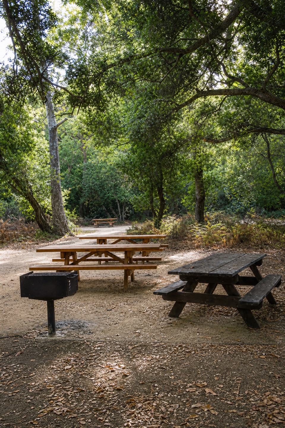 Picnic area · 0.3 mi awayMain Day Use Picnic AreaA shady, practical meal stop among Pfeiffer Big Sur’s park walks.
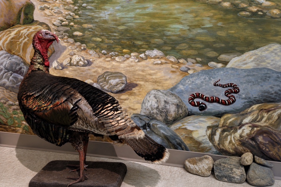 Visitor center · 0.3 mi awayEwoldsen Memorial Nature CenterTry the digital condor flight built from real local flight paths.
Parkwolf’s Pfeiffer Big Sur ranking

The audio tour guide for the drive, plus offline maps, trails, and wildlife heatmaps for when the signal drops.