Pros & cons
PROS
- Quieter entry with quick access to Balconies Cave and High Peaks
- Rangers sell passes and share current trail/cave info when staffed
CONS
- Day-use only; no camping or overnight parking on this side
- CA-146 to the gate is a narrow, one-lane road
Overview
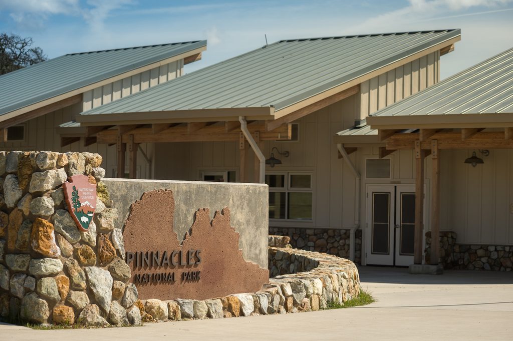
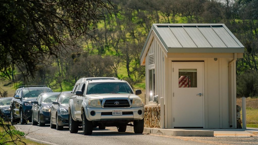
This is the day-use gate on the Soledad side. It’s the quicker way into the western trailheads, and it’s often less hectic than the east side. Expect a simple setup: a fee booth and a small contact station just up the road where staff can answer questions when it’s open.
What You'll Find
When staffed, you can buy or show passes, pick up maps, and get current conditions (especially for the talus caves). Basic first-aid help is available when rangers are on duty. Services are more limited than on the east side, so arrive prepared with water and snacks.
Getting There
From US‑101 at Soledad, CA‑146 climbs into the park and narrows to one lane in stretches—take it slow and be ready for turnouts. There’s no road through the park, so choose your side before you drive. The west side is open for day use with gate hours posted; plan to be out by closing.
Trails and Highlights Nearby
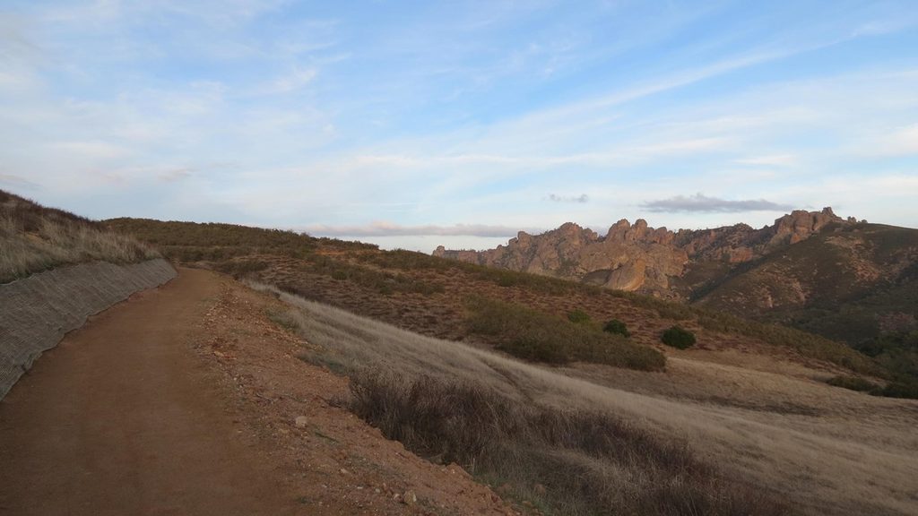
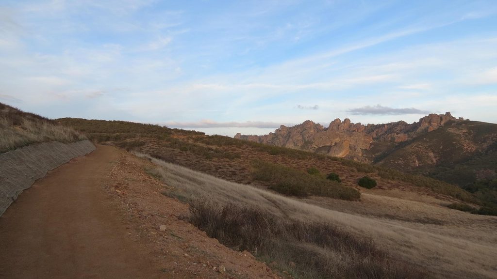
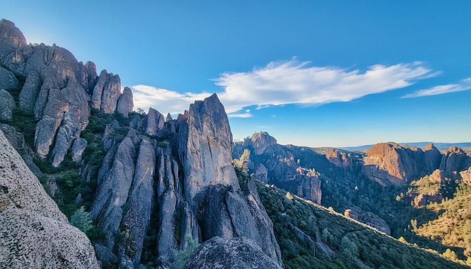
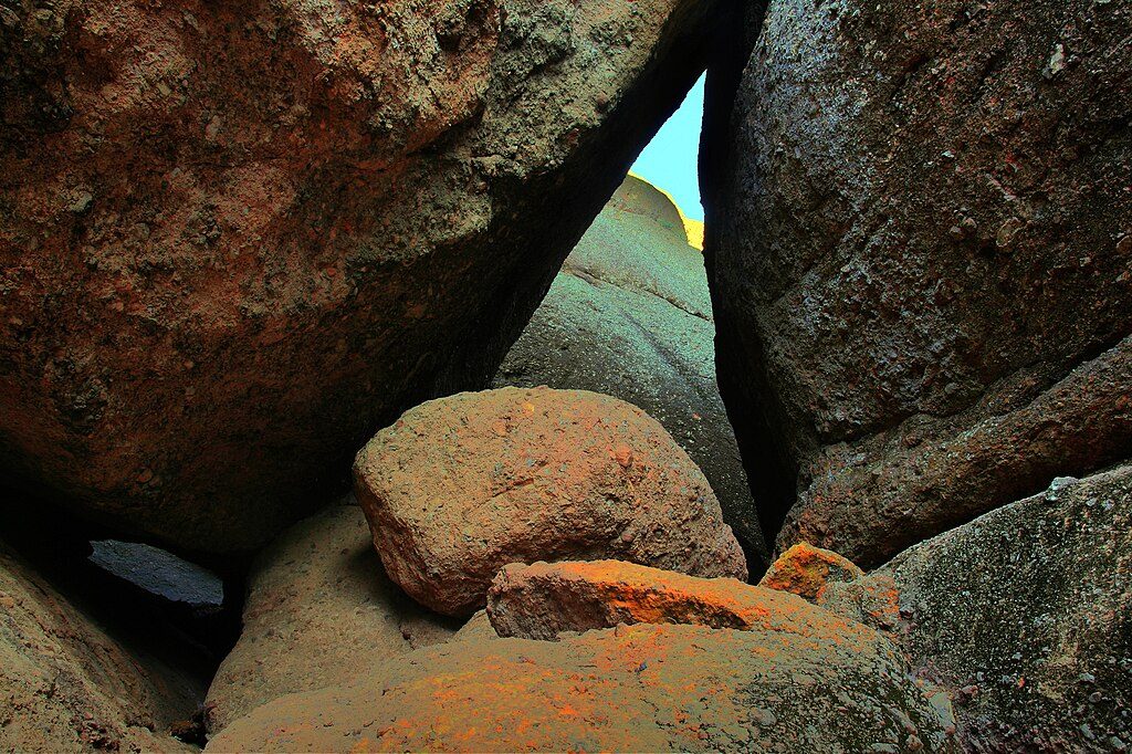
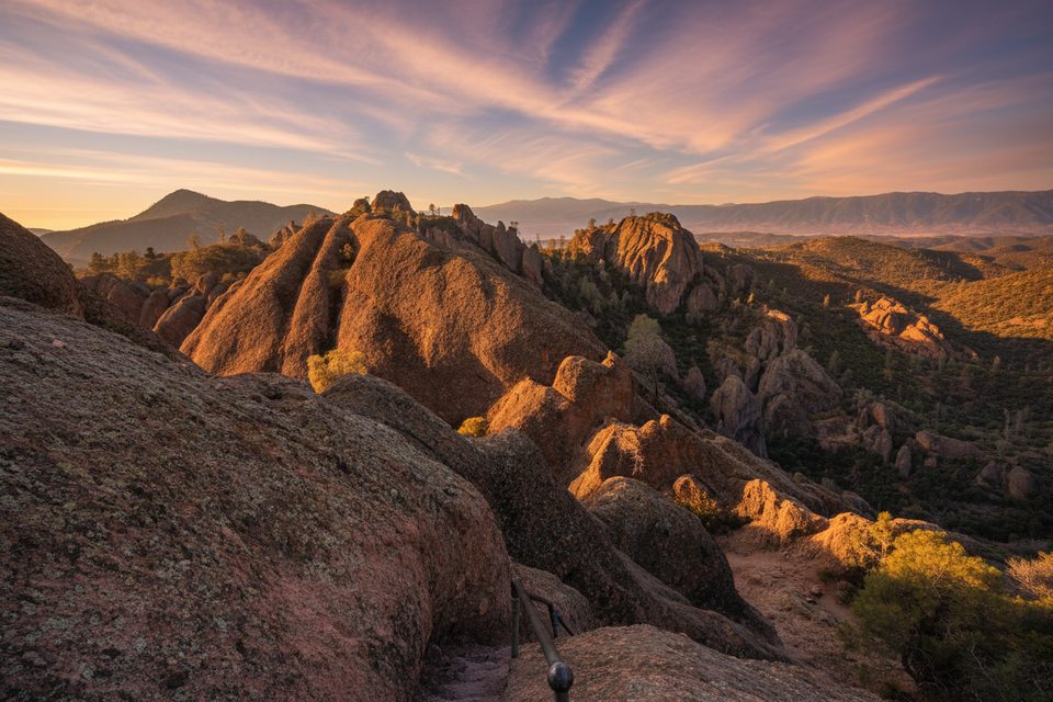
From here, you’re set up for the Balconies area (bring a light for the cave) and the High Peaks via Juniper Canyon if you want a steep, spectacular climb among the spires. Short on time? The Prewett Point trail is a quick leg-stretcher with big views.
Wildlife
Keep an eye on the sky—California condors are occasionally seen riding thermals over the High Peaks. Ravens and prairie falcons are common; mornings are best for activity before the heat ramps up.
Crowds and Parking
Weekends and holidays get busy late morning through mid‑afternoon. The Chaparral lot can fill and overflow kicks in; arriving early is the difference between parking once and circling.
Best Time to Visit
Spring and fall offer the best hiking weather. In summer, it bakes—start at dawn. On weekends, aim to hit the gate before 8 am. Afternoon light can be harsh; early and late day are kinder for photos.
Where it is
36.4775, -121.2259Tips for Pinnacles West Entrance Station
- 01Arrive before 8 am on weekends/holidays to avoid parking delays [nps.gov](https://www.nps.gov/pinn/planyourvisit/hours.htm).
- 02There’s no road through the park—don’t rely on switching sides mid-day [nps.gov](https://www.nps.gov/pinn/planyourvisit/directions.htm).
- 03West side is day-use only; no camping or overnight parking [nps.gov](https://www.nps.gov/pinn/planyourvisit/hours.htm).
- 04CA-146 to the west gate is narrow and one-lane in places; drive slowly [tripadvisor.com](https://www.tripadvisor.com/Attraction_Review-g60935-d143240-Reviews-Pinnacles_National_Park-Paicines_California.html).
- 05From here, tackle Balconies Cave (bring a headlamp) or steep High Peaks via Juniper Canyon [tripadvisor.com](https://www.tripadvisor.com/Attraction_Review-g60935-d143240-Reviews-Pinnacles_National_Park-Paicines_California.html) [alltrails.com](https://www.alltrails.com/trail/us/california/high-peaks-trail).
Amenities
Near Pinnacles West Entrance Station
All places →All trails →
0 mi awayPrewett Point TrailEasy west side loop to sweeping Pinnacles and Balconies viewsEasy · 0.9 mi · 45 min
0 mi awayWest Pinnacles Visitor Contact StationSmall west-side hub for maps, advice, restrooms, and a quick overlookVisitor Center · Restroom
0 mi awayPrewett PointShort loop to a wide-open pinnacles panorama and sunset glowScenic Viewpoint · Parking
1.3 mi awayJuniper Canyon TrailSteep switchbacks to airy High Peaks, handrails, and a rock tunnelChallenging · 4.3 mi · 3 hr
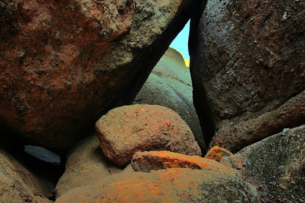
1.3 mi awayBalconies Cliffs-Cave LoopShort, scrambly loop through a dark talus cave and big cliff viewsModerate · 2.6 mi · 1.5 hr
1.3 mi awayTunnel TrailShort, steep climb to a cool rock tunnel and condor viewsModerate · 2.5 mi · 1.8 hr
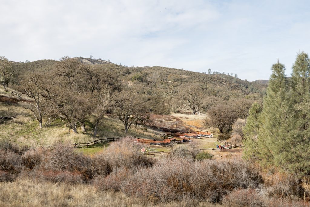
1.4 mi awayChaparral Picnic AreaWest-side picnic hub and gateway to Balconies Cave and High PeaksTrailhead · Restroom
1.9 mi awayBalconies CaveShort, adventurous talus cave with dark squeezes and condor chancesTrailhead · Parking