Overview
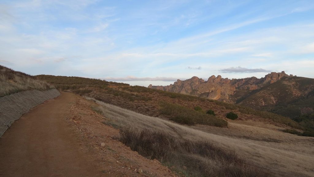
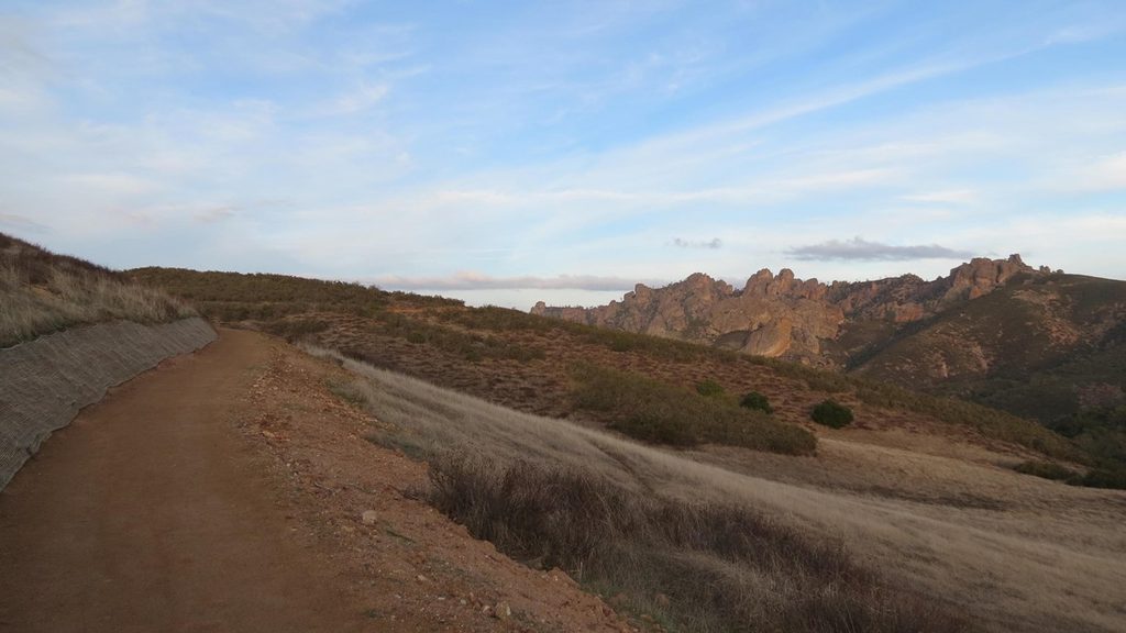
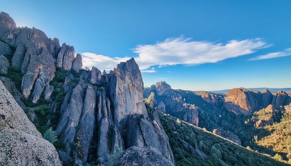
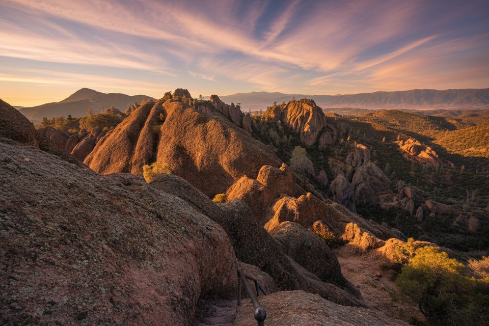
Prewett Point is the west side’s easiest wow-moment: a short, gentle loop that climbs just enough to give you big views across the Hain Wilderness toward the High Peaks and Balconies. It’s perfect as a leg-stretcher when you roll in from CA‑146 or a golden‑hour lap before you head out.
What You’ll See
- Panoramic rock spires and cliffs, with raptors often riding the updrafts. On clear, calm days you might spot soaring condors or falcons from the viewpoints.
- A few well-placed benches and pullouts to linger, plus interpretive signs that add context to the landscape.
Trail Basics
- Distance/elevation: roughly 0.9–1.0 miles with about 70–75 feet of gain. Expect 20–45 minutes depending on how long you linger at the overlooks.
- Surface/grade: stabilized gravel, generally wide (about 3–5 feet) with gentle grades (about 5% or less) and very little shade.
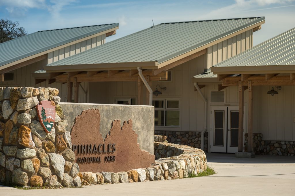
- Start: just beyond the West Pinnacles Visitor Contact Station. There’s a junction where the Jawbone Trail descends toward the Chaparral area—nice if you’ve planned for more hiking, otherwise complete the Prewett loop.
Amenities & Logistics
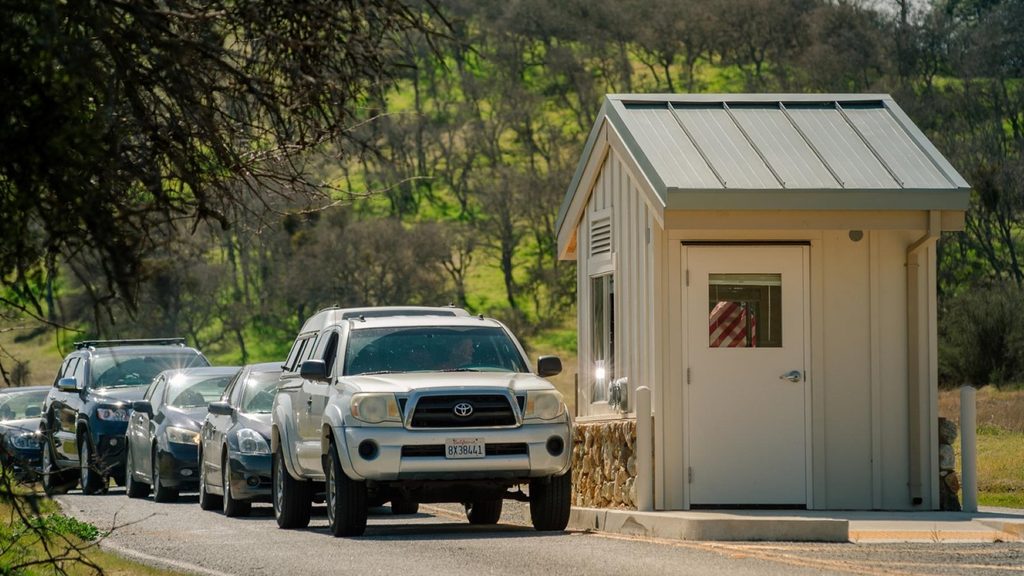
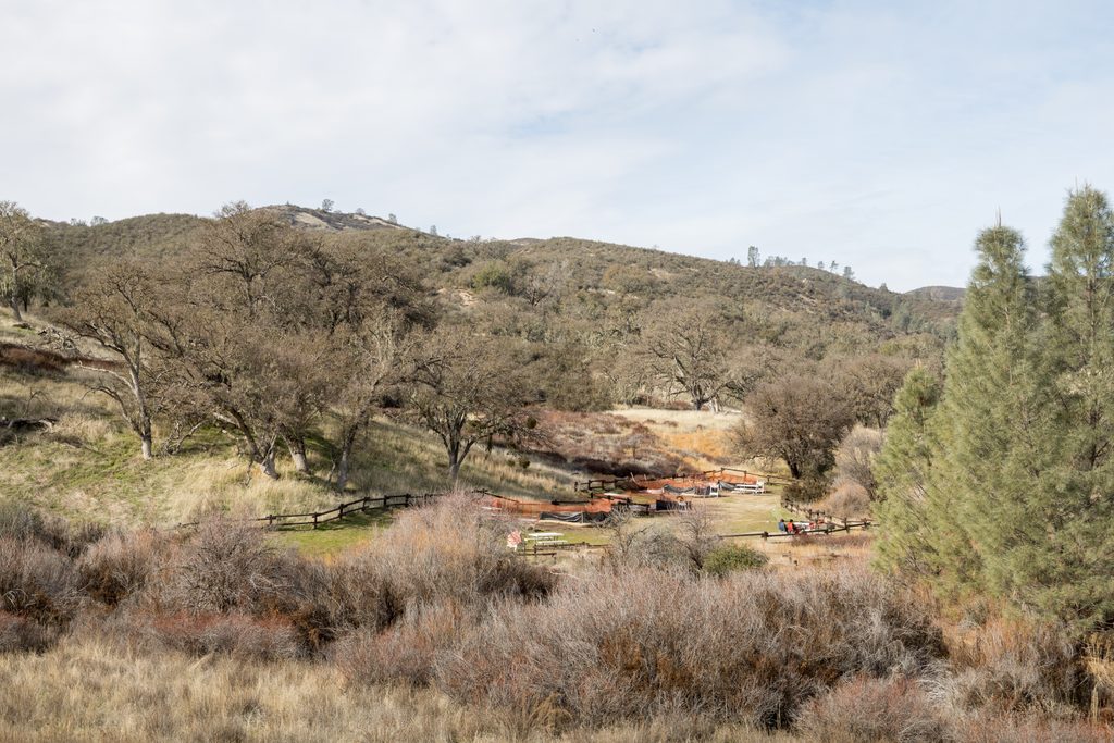
- Park at the West Visitor Contact Station lot (about 40 spaces). You’ll find flush restrooms, potable water, and picnic tables nearby.
- Cell service is limited. Pets and bikes aren’t allowed on trails.
Best Time to Visit
- Early morning or late afternoon for softer light, cooler temps, and fewer people. Sunset paints the pinnacles beautifully and is a sleeper pick here.
- If you’re visiting in late spring through early fall, plan around the heat—this exposed loop bakes at midday. Weekdays are typically even quieter.
- Note that the park’s East and West entrances aren’t connected by road; the west approach on CA‑146 is narrow and steep in places.
Wildlife & Safety
- Rattlesnakes are present—watch where you step and keep to the trail.
- Bring water, sun protection, and sturdy shoes; there’s almost no shade.
Pair It With
- Want more after the view? From the Chaparral area, the Balconies Cliffs–Cave Loop is a classic west-side add‑on when the cave is open. If you’re feeling ambitious, Juniper Canyon climbs into the High Peaks for a harder, big‑view day.