Parking
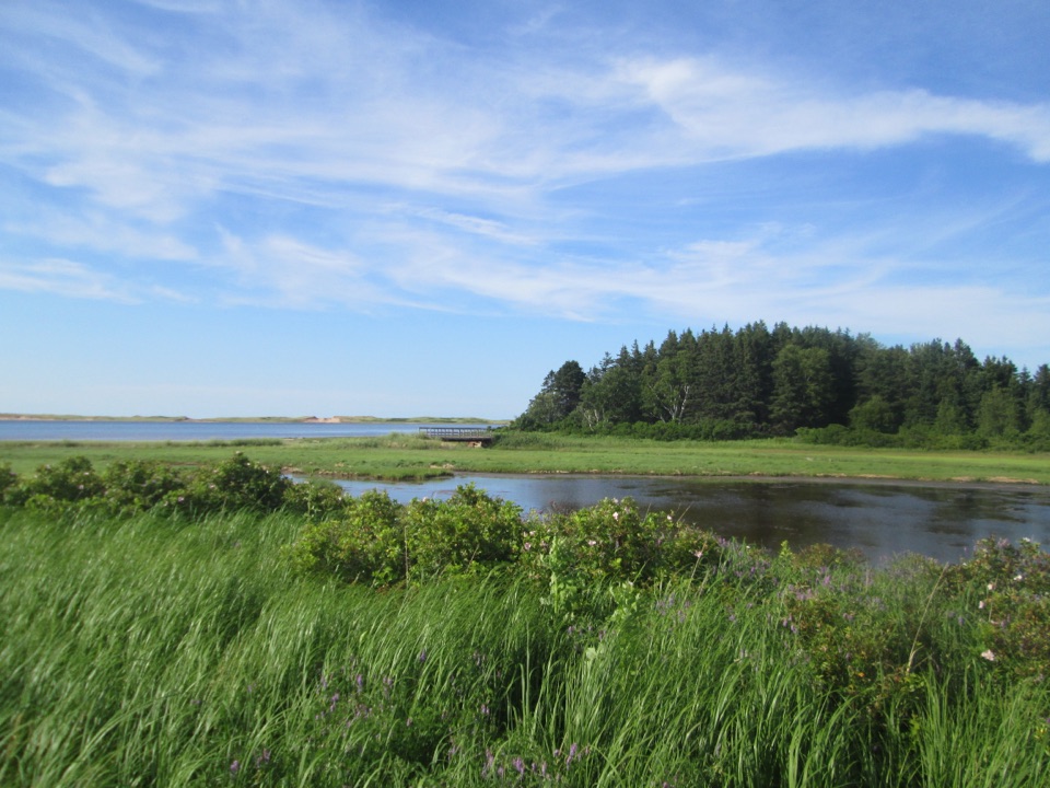
Use the Parks Canada Farmlands trailhead at 735 Gulf Shore Parkway, about 2 km east of Stanhope. The trail information does not specify parking capacity or toilets at this access.
#10 of 15 trails in Prince Edward Island
Prince Edward Island National Park, PE
A quiet loop through old fields, woodland, and island history.
Overview
Map & elevation
Plan your hike

The highest, rockiest slopes around here are a summer buffet for grizzly bears.
Prince Edward Island Tour Guide
Parkwolf is a GPS audio tour guide for Prince Edward Island National Park. As you drive, it chimes in with what’s ahead: hidden gems, upcoming stops, history, geology, and wildlife, right through your car’s speakers.
Recorded for this trailhead
Farmlands and Bubbling Springs Trailhead“You're nearing the shared Farmlands and Bubbling Springs trailhead. Farmlands is a two point eight kilometre loop through old fields and woods, with a Pioneer Cemetery dating to the eighteen fifties; allow about an hour.”
Plays as you drive up to this trailhead in the Parkwolf Prince Edward Island Tour Guide.
More stories near here in the app
“Fantastic app with many points of information… It’s great to just turn on while you’re driving and it gives you an audio tour of the national Park. We love it!!!!”


Trail guide
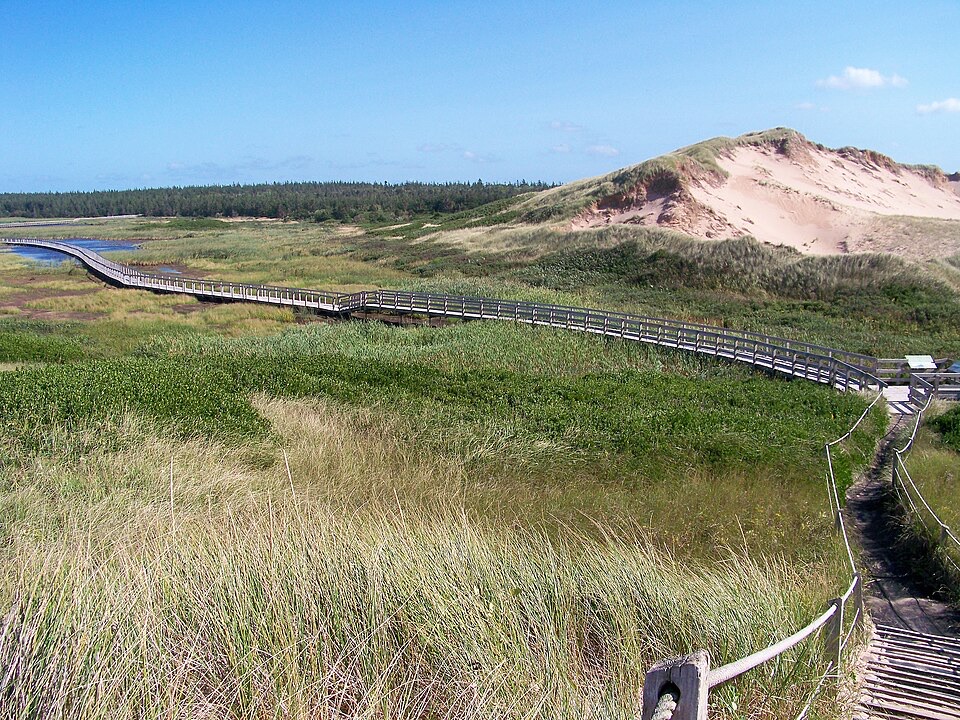
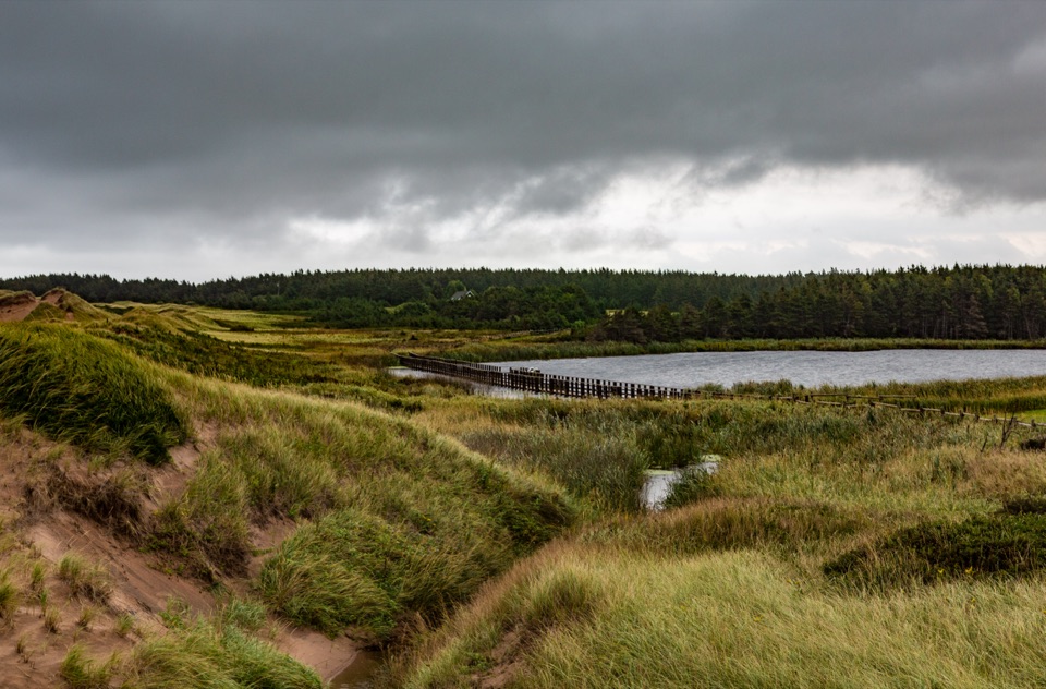
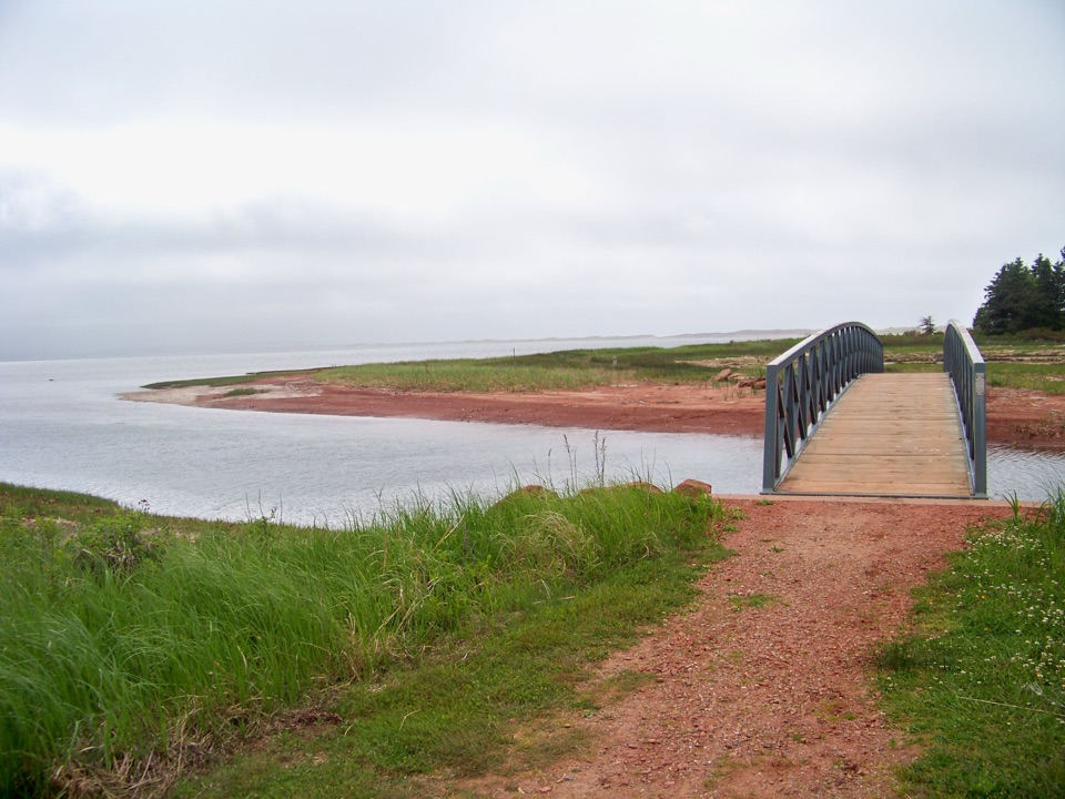
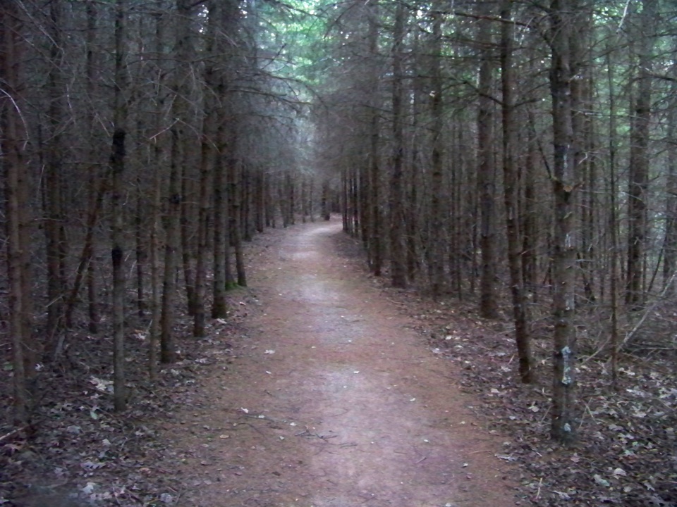
Farmlands Trail is a 2.8-kilometre (1.7-mile) easy loop from 735 Gulf Shore Parkway in Prince Edward Island National Park. It threads old fields and mixed woodland, with a former archaeological site, a Pioneer Cemetery, ponds, and traces of earlier homes along the way. Allow about an hour for the walk and the history. It's a good choice when you want a real walk but not a climb or a beach outing.
From the trailhead, a short shared approach leads into the loop. Most of the surface is packed gravel, with flat and gently rolling stretches. Exposed roots break up otherwise easy footing, and the route stays mostly under trees, with occasional openings at old fields and clearings. This is not a big-view hike. Its interest is the change from farmed land back to forest and the small remnants left in it.
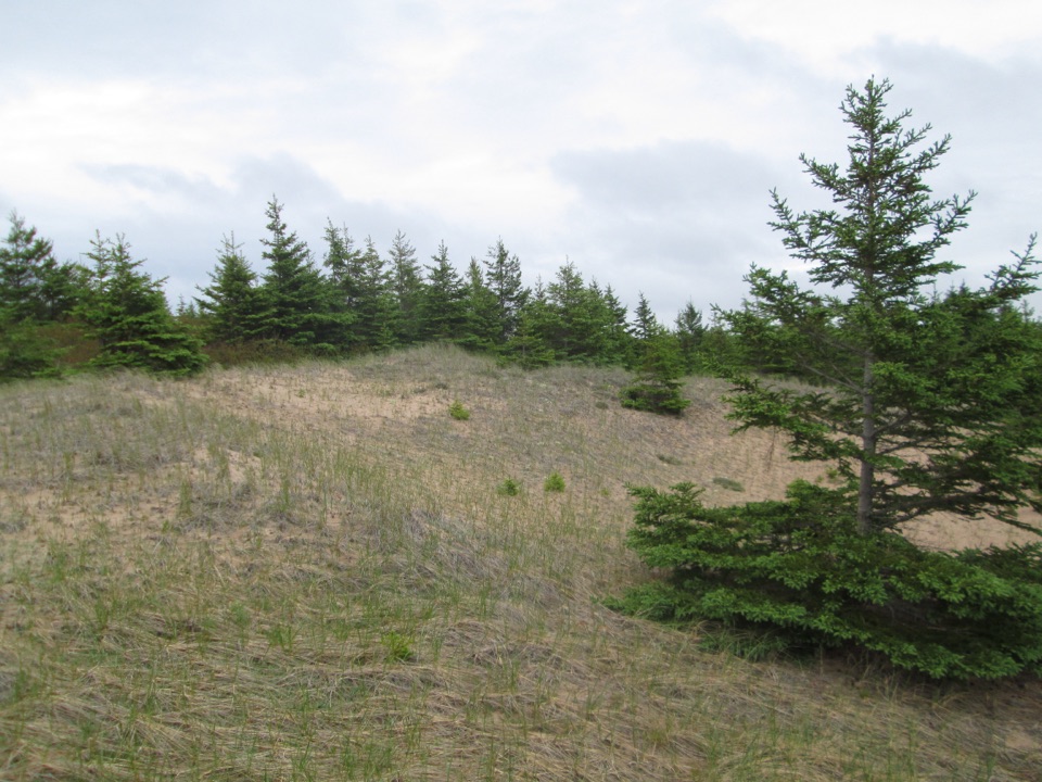
The Pioneer Cemetery is a quiet reminder that this landscape was settled long before it became national park. The cemetery dates to the 1850s, and the former archaeological site is tied to attempts to find an early British settlement. An old-home foundation and white-spruce regrowth show how the land has changed since it was farmed. Look for the transitions between field edge, pond, and woodland rather than waiting for one grand viewpoint. If you want a coastal panorama, choose a beach or dune trail instead; Farmlands is the history-and-forest option.
The Parks Canada trailhead is at 735 Gulf Shore Parkway, about 2 km east of Stanhope. Dogs are allowed, but they must stay on a leash no longer than 3 metres. PEI National Park trails and facilities are not maintained between Thanksgiving and Victoria Day, although visitors can still use them with limited emergency service. No route-side food or potable water was identified in the trail information, and the trailhead details do not specify parking capacity or toilets, so treat this as a self-contained short walk rather than a service stop.
Wildlife
 100 sightingsBald EagleMost seen around 7 AMSighting map
 95 sightingsOspreyMost seen around 8 AMSighting map
 67 sightingsGreat Blue HeronMost seen around 7 AMSighting map
 104 sightingsRed FoxMost seen around 7 AMSighting map
 97 sightingsSnowshoe HareMost seen around 7 AMSighting map
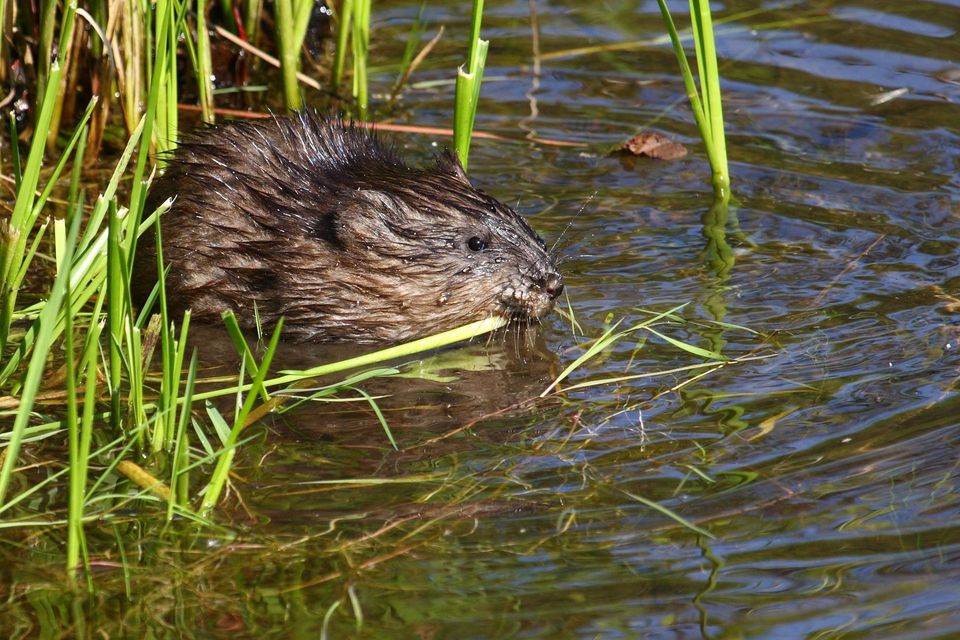 13 sightingsMuskratMost seen around 7 PMSighting map
Sighting maps show where each species has been reported across Prince Edward Island. Wildlife moves, so no sighting is guaranteed.
Keep exploring
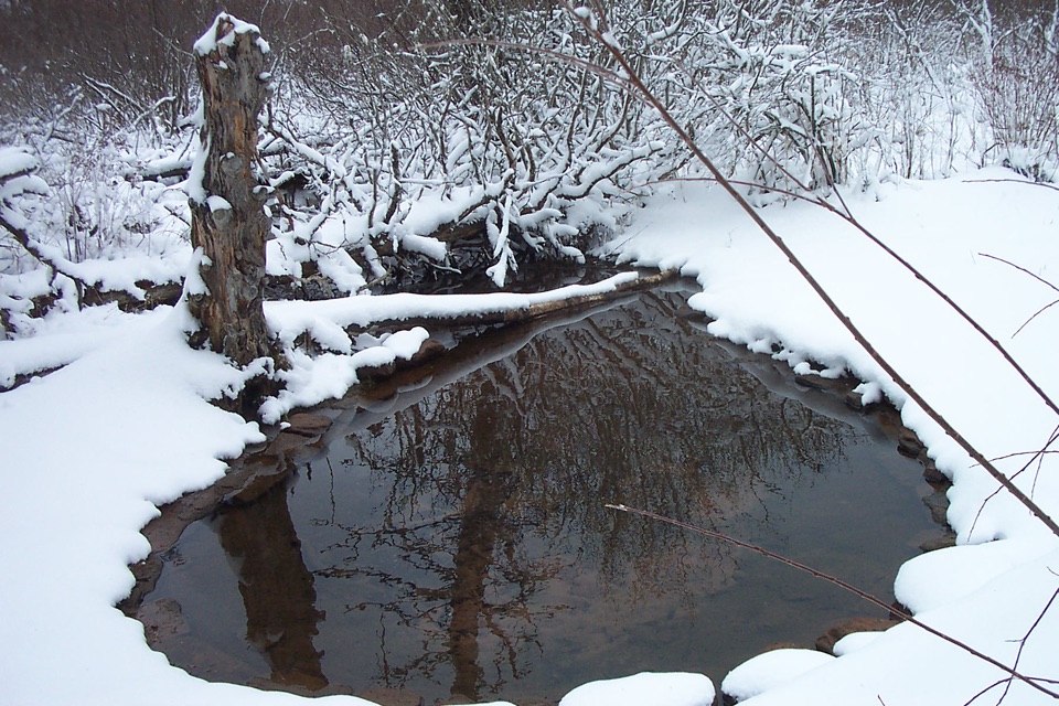 EasyBubbling Springs2.5 km · 1 hr · At the trailheadAn easy loop to a bubbling spring and Long Pond lookouts
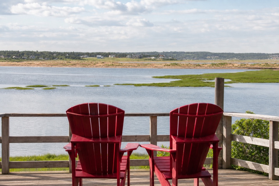 ModerateRobinsons Island Trail System11.6 km · 3.8 hr · 8 km awayFlat coastal loops to red chairs, bay views, and optional bike features
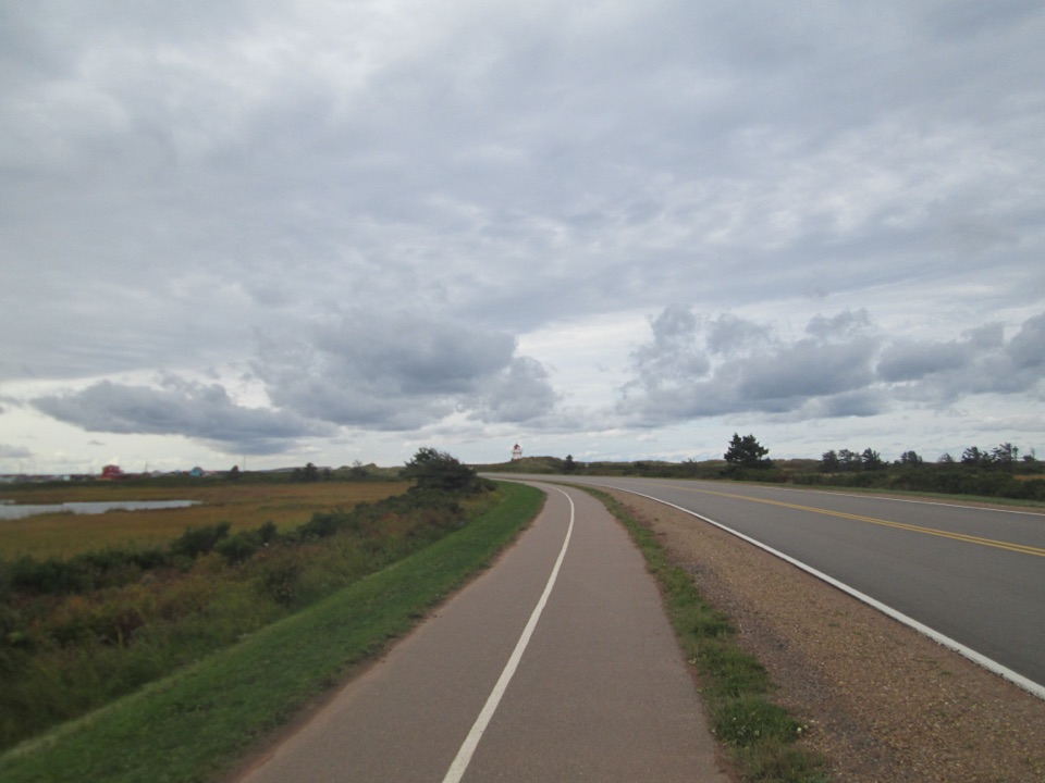 EasyGulf Shore Way East12.2 km · 2.5 hr · 8 km awayA flat coastal crossing between dunes, marshes, and Dalvay.
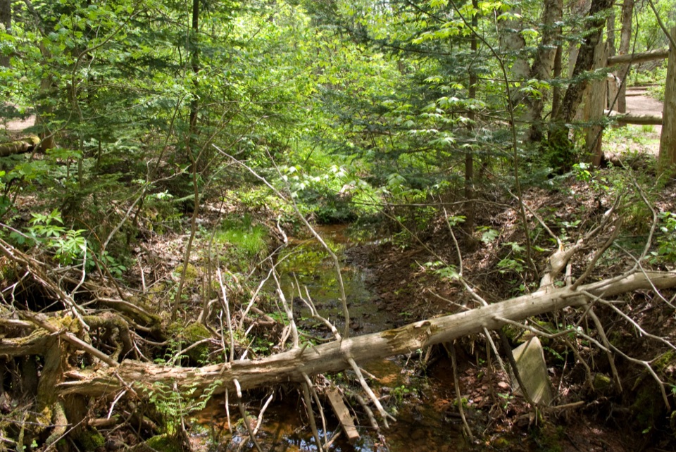 EasyHaunted Wood Trail0.9 km · 30 min · 23.2 km awayAn easy loop through the woods that inspired Anne's Haunted Wood.
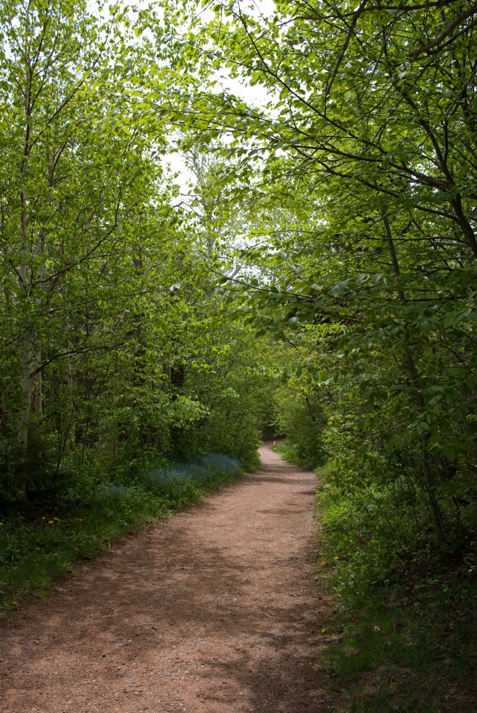 EasyBalsam Hollow Trail0.8 km · 30 min · 23.2 km awayA quiet brookside walk through the woods behind Green Gables
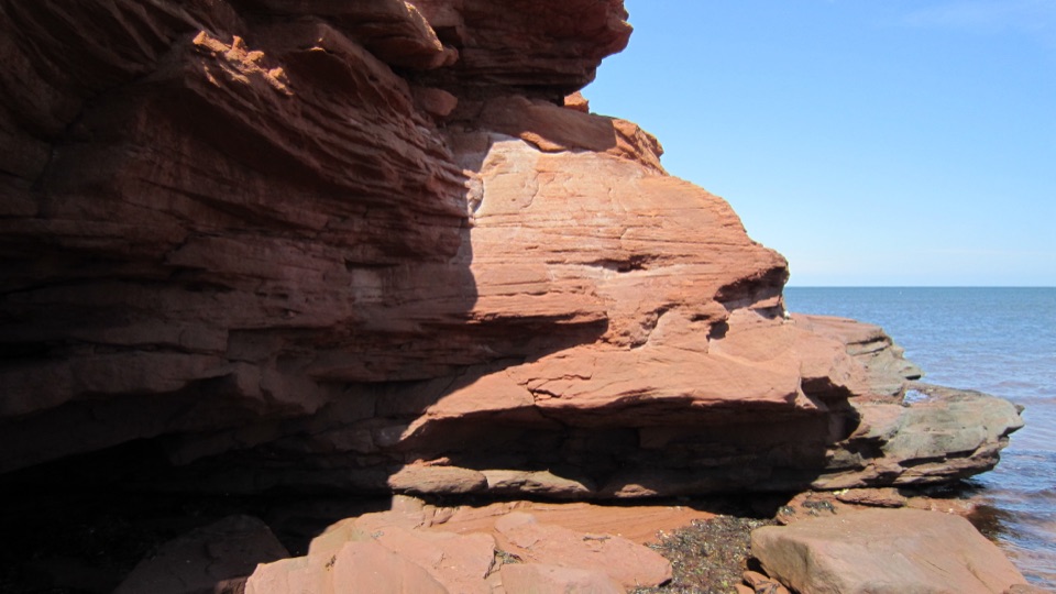 EasyGulf Shore Way West8.5 km · 2.8 hr · 23.6 km awayA smooth coastal path with red cliffs, coves, and a beach finish.
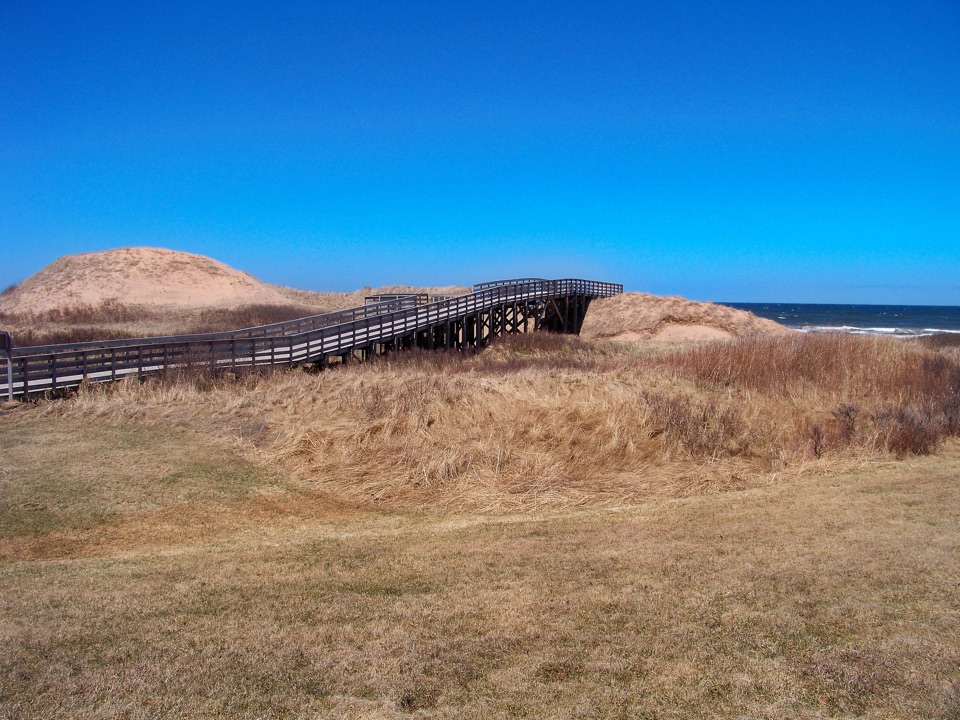 EasyCavendish Beach Trail1.1 km · 45 min · 24 km awayA short, easy path from woods to Cavendish's dunes and ocean.
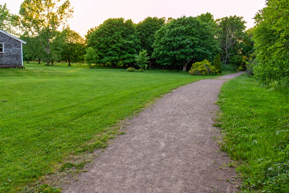 EasyClark's Lane Trail1.2 km · 30 min · 24 km awayA flat gravel connector through fields and woods near Cavendish Grove.
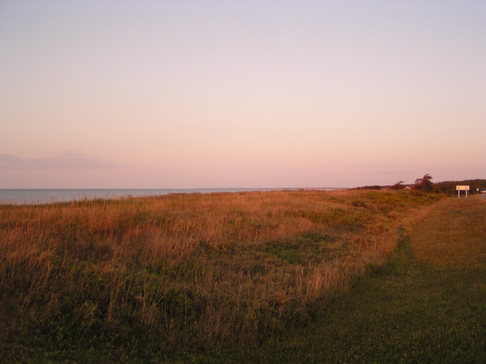 Beach · 0.5 km awayStanhope BeachFine white sand, gentle boardwalk and ramp access, full facilities
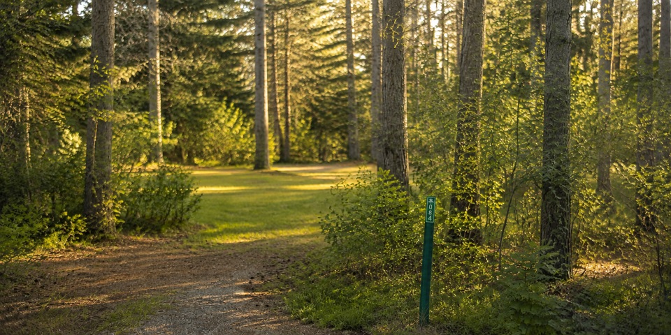 Campground · 1.3 km awayStanhope CampgroundWooded sites beside the seaside trail, 1 km from Stanhope Beach
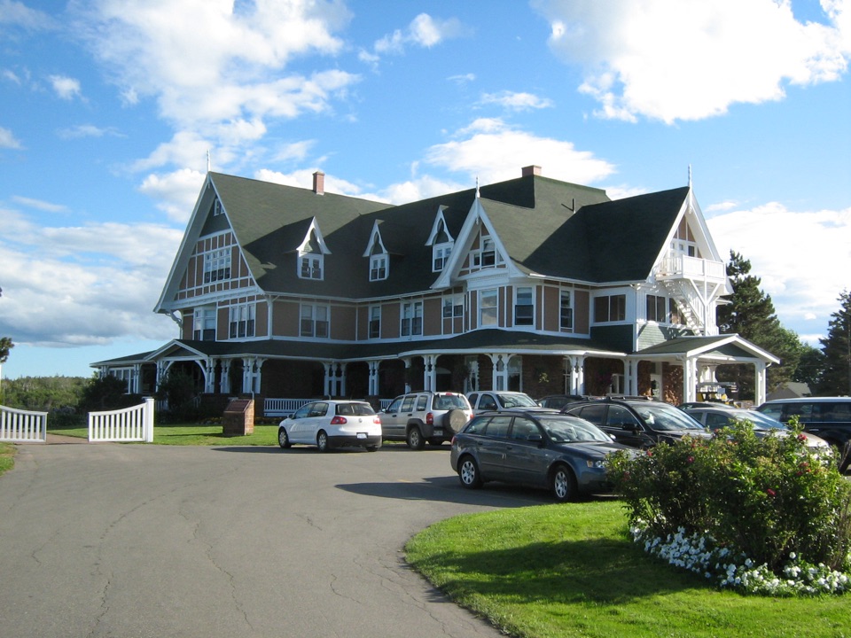 Sight · 1.7 km awayDalvay-by-the-Sea National Historic SiteQueen Anne Revival seaside manor between ocean and freshwater lake
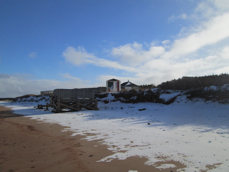 Beach · 2 km awayRoss Lane BeachQuiet sandy stretch with dunes, a boardwalk, and wide coastal views
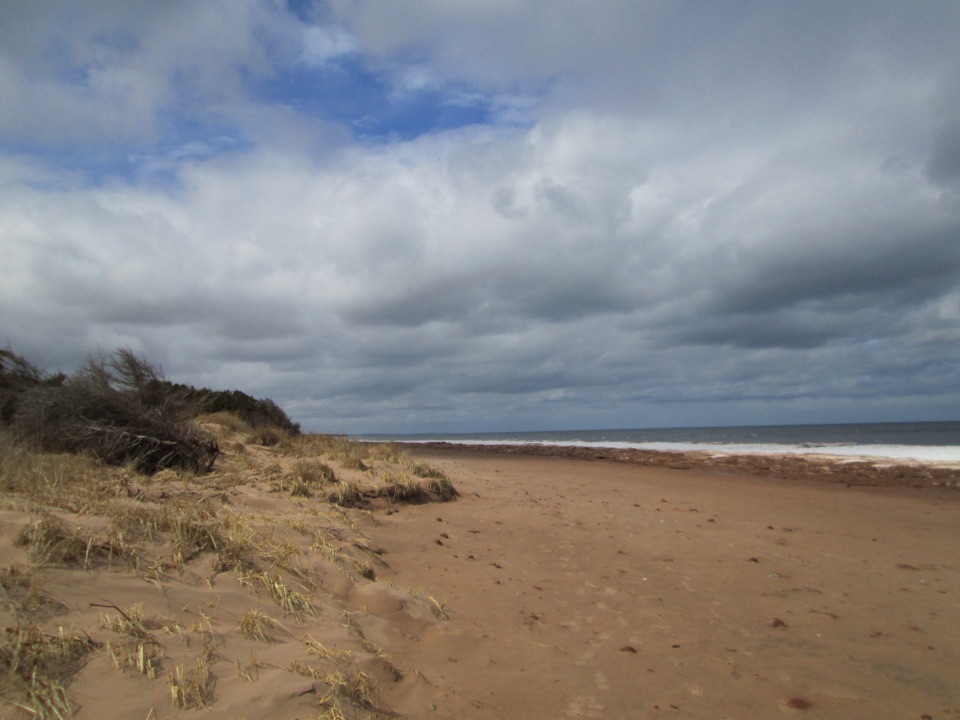 Beach · 2.6 km awayDalvay BeachQuiet dune-backed sand with open Gulf views and long shoreline walks
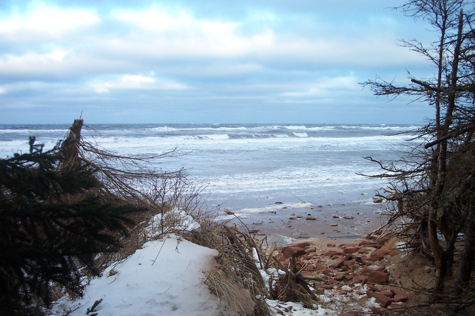 Beach · 3.4 km awayStanhope Cape BeachRed sandstone, open surf and dunes on a quieter Gulf shore
 Sight · 3.9 km awayCovehead LighthouseSmall red-and-white heritage tower rising from the dunes at Covehead Bay
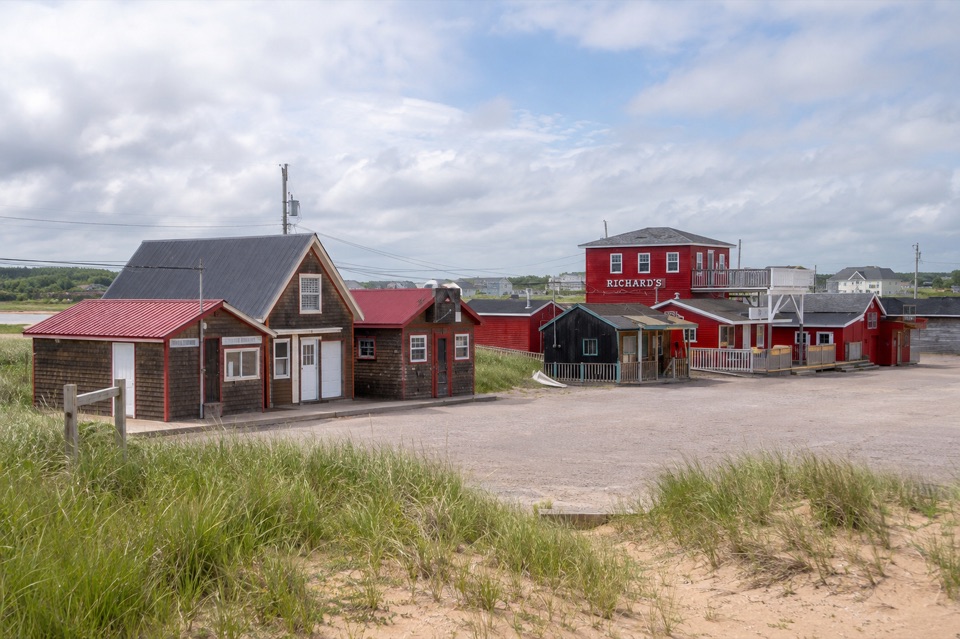 Restaurant · 4 km awayOriginal Richard’sGenerous lobster rolls and fish and chips at a working wharf
Parkwolf’s Prince Edward Island ranking

The audio tour guide for the drive, plus offline maps, trails, and wildlife heatmaps for when the signal drops.