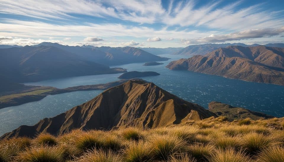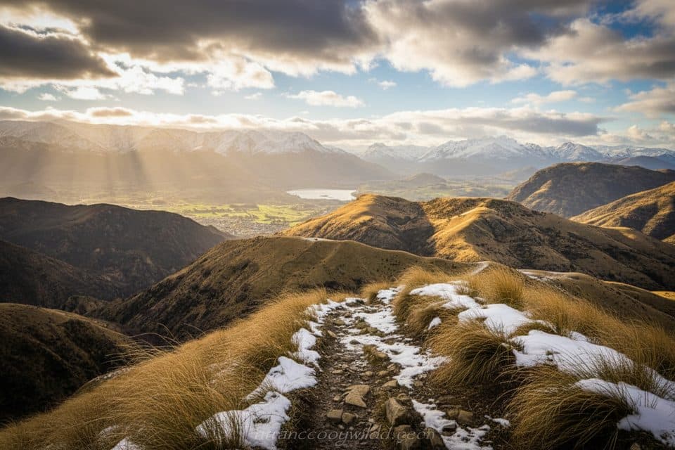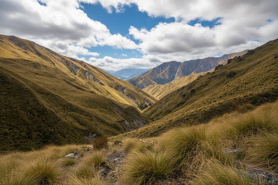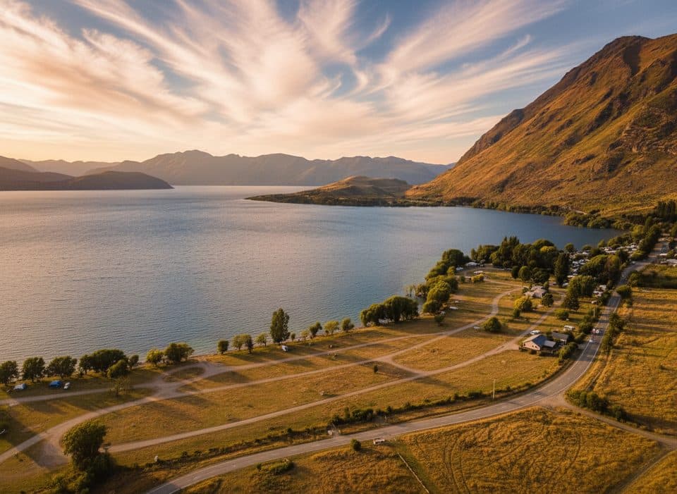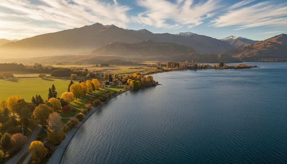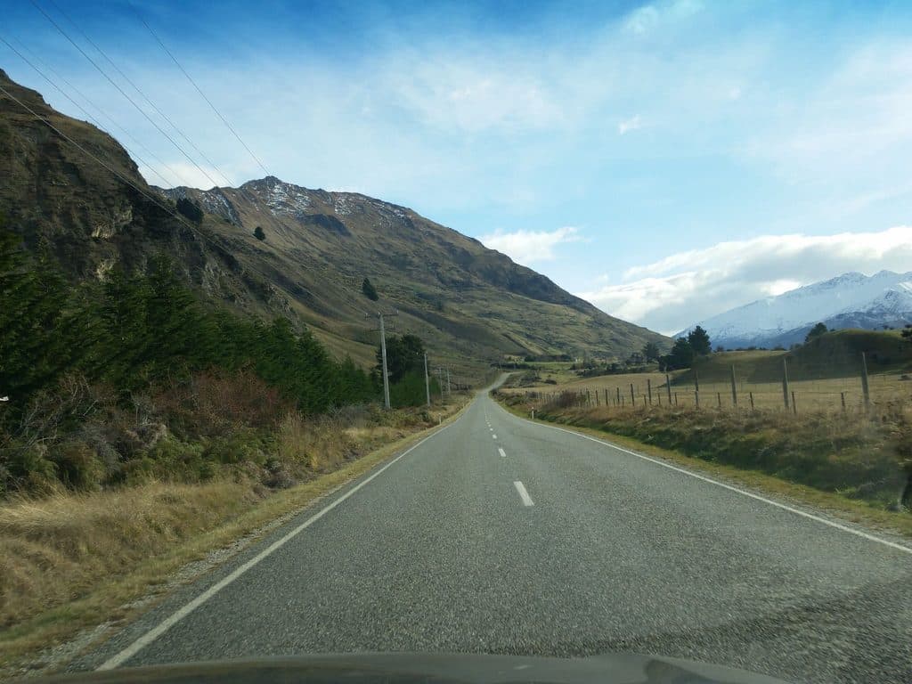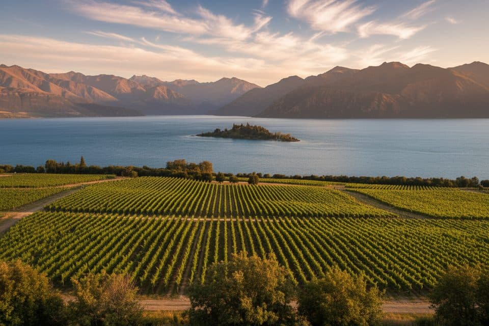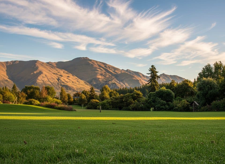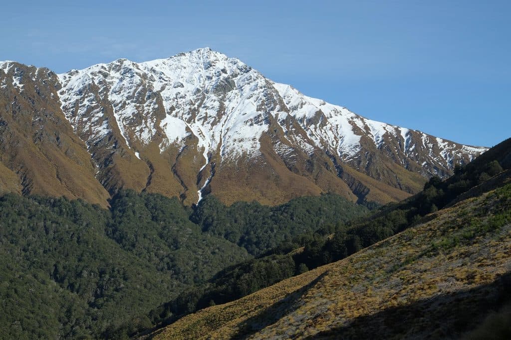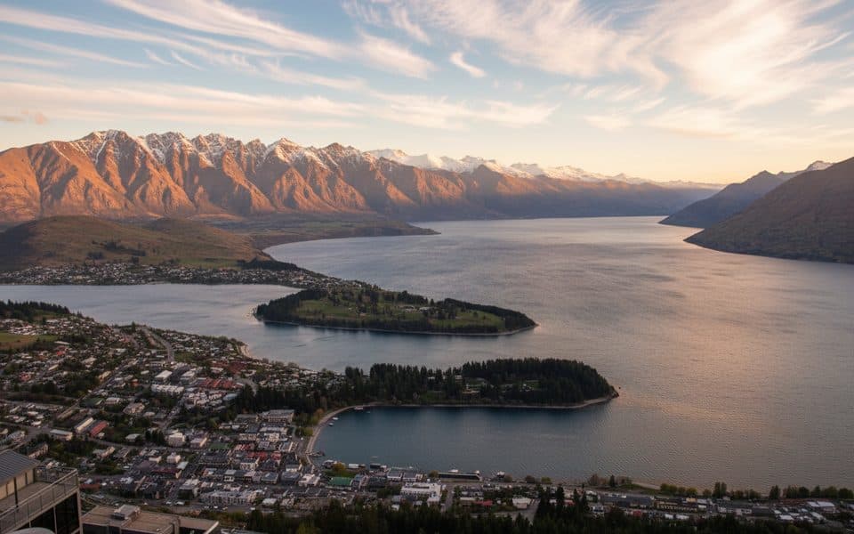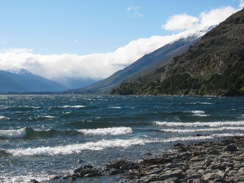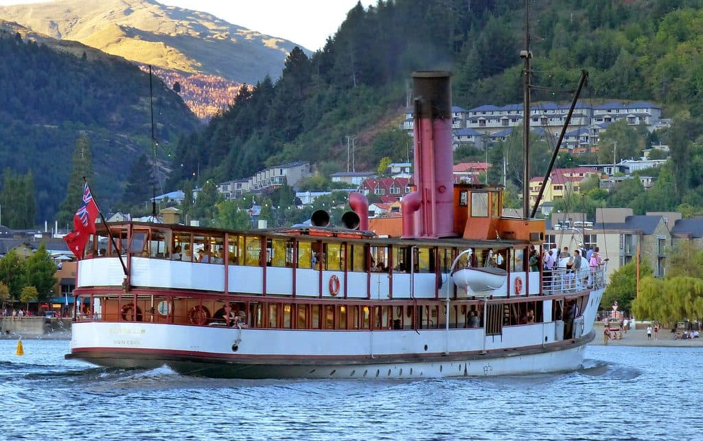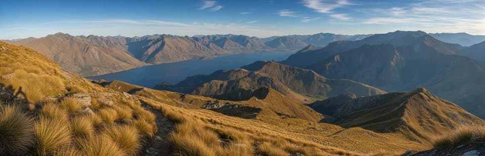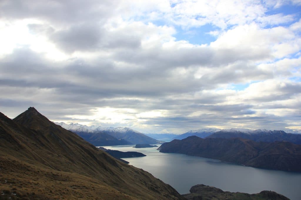
Roys Peak in Queenstown-Lakes District, New Zealand

#8 of 91 sights in Queenstown-Lakes District

Sight · Queenstown-Lakes District, New Zealand

Roys Peak

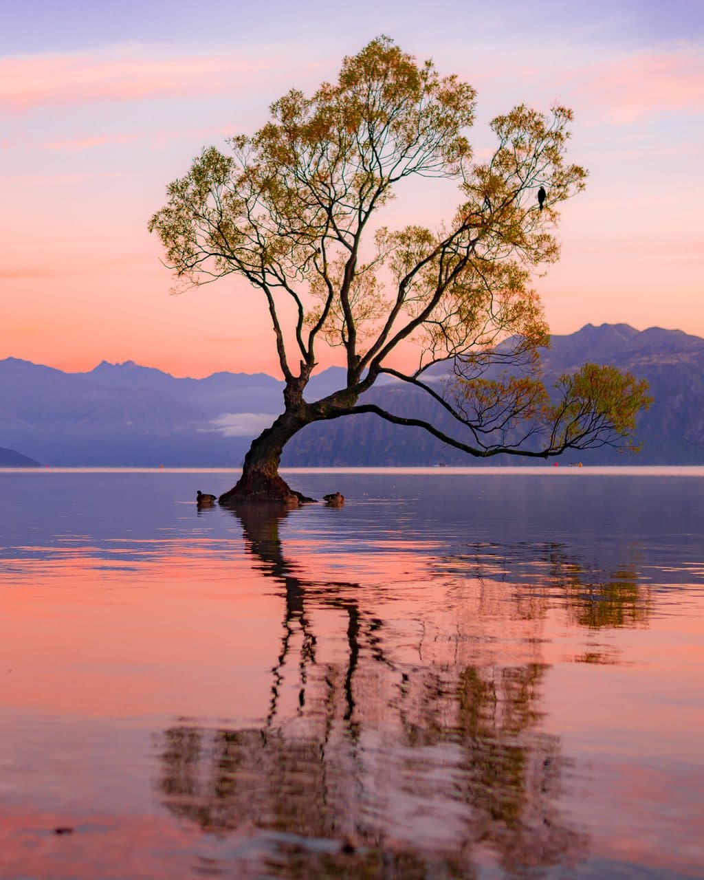
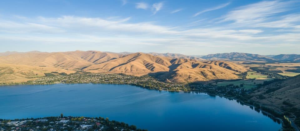
Wanaka’s iconic ridgeline hike with blockbuster lake-and-peak views

Photo: Wikimedia Commons
Type
Sight
Nearest trail
3.4 km
Audio stories
1 nearby
  • Trailhead
  • Parking
  • Restrooms
  • Scenic viewpoint

Hear the audio tour

Merino on the Mountain

Overview

About Roys Peak

Roys Peak is the blockbuster Wanaka hike: a 16 km (10 mi) out‑and‑back with about 1,258 m (4,127 ft) of gain that usually takes 6–7 hours. It’s steep but non‑technical, climbing through private farmland into open tussock with ever‑wider views toward Mount Aspiring National Park. The track is popular for sunrise and sunset—and for good reason.

Why stop

  • Jaw-dropping Lake Wānaka and alpine panoramas from the famed ridgeline
  • Well-graded, clearly defined track with steady switchbacks

Heads up

  • Big crowds and photo lines at the famous viewpoint
  • Relentless climb with a knee-busting descent
If you’re up for a steady grind and don’t mind company, the payoff is enormous. For a similar but quieter experience, consider Isthmus Peak.
Parkwolf’s verdictIs it worth it?

Map

Where it is

Loading the Queenstown-Lakes District map
Full map
SightRoys Peak-44.70000, 169.05000
Keep this map with you offline in the Parkwolf app

Local know-how

Tips for visiting Roys Peak

  1. Arrive well before sunrise to secure a car-park spot.

  2. The iconic lookout is about 2–2.5 hours up the track.

  3. Continue ~30 minutes past the lookout to reach the true summit and thinner crowds.

  4. Carry at least 2 liters of water and serious sun protection—there’s no shade or refill.

  5. The track is closed Oct 1–Nov 10 for lambing; plan around the closure.

Plan your stop

Before you go

Best time to visit

Sunrise and sunset deliver the most dramatic light and cooler temps, but sunrise is very popular—start early. A mid/late‑morning start can dodge the dawn rush and still catch warm light on the way down. Shoulder seasons are April–May and September for fewer people and pleasant temperatures. Note the annual lambing closure from October 1 to November 10. In winter, snow and ice are possible near the top—crampons may be necessary; go only with the right gear and experience, and allow enough daylight.

Logistics and amenities

There’s a dedicated car park about 6 km from Wānaka that fills quickly—often by 9 am. Do not street‑park; fines are enforced. There are no services on the track: bring all food and plenty of water (there are no refill points). The route crosses private farmland; stay on the marked path and use stiles. No dogs are permitted. Drones require a permit from the Department of Conservation.

A park ranger sits on a dash-mounted phone, talking, as Parkwolf’s Tour Guide plays “Army Cutworm Moths: A Grizzly Bear Buffet” on Grand Loop Road below Dunraven Pass in Yellowstone
Parkwolf Tour GuideThe highest, rockiest slopes around here are a summer buffet for grizzly bears.

Queenstown-Lakes District Tour Guide

Your drive to Roys Peak, narrated.

Parkwolf is a GPS audio tour guide for Queenstown-Lakes District, New Zealand. As you drive, it chimes in with what’s ahead: hidden gems, upcoming stops, history, geology, and wildlife, right through your car’s speakers.

See the Queenstown-Lakes District audio tour

Recorded for this area

Merino on the Mountain
Listen
“Much of this high country is part of Mount Roy Station, a working sheep farm. The farmers don't actually own the land; it’s a “pastoral lease” from the government.”

Plays on the road 3.1 km from Roys Peak in the Parkwolf Queenstown-Lakes District Tour Guide.

More stories near here in the app

  • Roys Peak Track: The Famous Hike and an Essential Tip
  • Glendhu Bay Recreation Reserve: Day Use and Track Access
  • Glendhu Bay: A Classic Lakefront Base
  • Waterfall Creek: Gateway to Lakeside Walks
  • 164 audio storiesacross Queenstown-Lakes District’s roads, triggered by GPS as you drive
  • Wildlife heatmapsfor Kea, Kākā, Kererū, and 13 more
  • Works offlinemaps, 37 trails, 111 places, and audio download before you lose signal
  • CarPlay readysimple controls built for the drive
★★★★★
“Fantastic app with many points of information… It’s great to just turn on while you’re driving and it gives you an audio tour of the national Park. We love it!!!!”
JMJamesApp Store review
Download Parkwolf on the App StoreGet Parkwolf on Google Play

4.7 from 8,600+ ratings

Guide

More about Roys Peak

Route and the famous viewpointExpect countless switchbacks from the trailhead to a narrow ridgeline lookout—the…

Expect countless switchbacks from the trailhead to a narrow ridgeline lookout—the Instagram-famous spot—reached in roughly 2–2.5 hours. There’s a toilet near this lookout around 6.5–7 km up. From there, it’s about 30 minutes more to the true summit at 1,578 m (5,177 ft), where the vistas open even further and the crowds thin. The descent takes roughly 1.5–2 hours and can be punishing on knees.

What to bringWater (at least 2 liters per person)
  • Water (at least 2 liters per person)
  • High‑energy snacks/lunch
  • Layers including a windbreaker—conditions change fast with elevation
  • Strong sun protection (hat, sunglasses, high‑SPF sunscreen)
  • Sturdy footwear; hiking poles help on the long descent
WildlifeYou’ll likely see sheep on the lower, private‑land section—another reason to stay on the track…

You’ll likely see sheep on the lower, private‑land section—another reason to stay on the track and give animals space.

Wildlife

Wildlife in Queenstown-Lakes District

All Queenstown-Lakes District wildlife maps

Sighting maps show where each species has been reported across Queenstown-Lakes District. Wildlife moves, so no sighting is guaranteed.

Parkwolf’s Queenstown-Lakes District ranking

Top sights in Queenstown-Lakes District

All 111 places
  1. 1Lake WakatipuSight
  2. 2Ben LomondSight
  3. 3Bob’s Peak – Queenstown Gondola LookoutSight
  4. 4Lake WānakaSight
  5. 5TSS EarnslawSight
  6. 6Ben Lomond SaddleSight

Take Parkwolf to Queenstown-Lakes District.

The audio tour guide for the drive, plus offline maps, trails, and wildlife heatmaps for when the signal drops.

4.7 from 8,600+ ratings

Download Parkwolf on the App StoreGet Parkwolf on Google Play