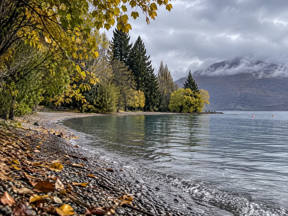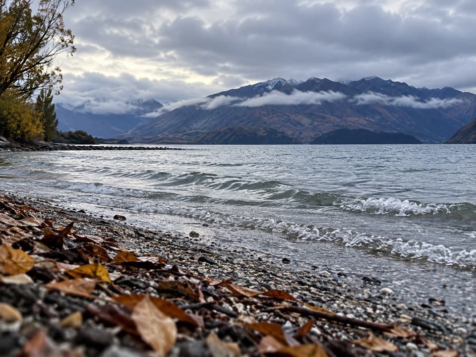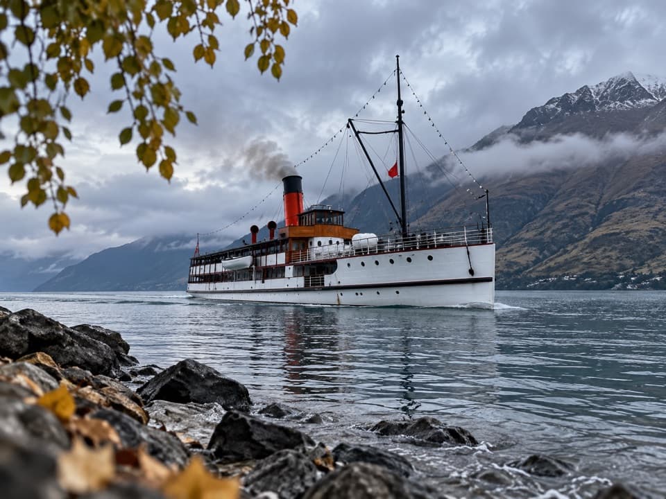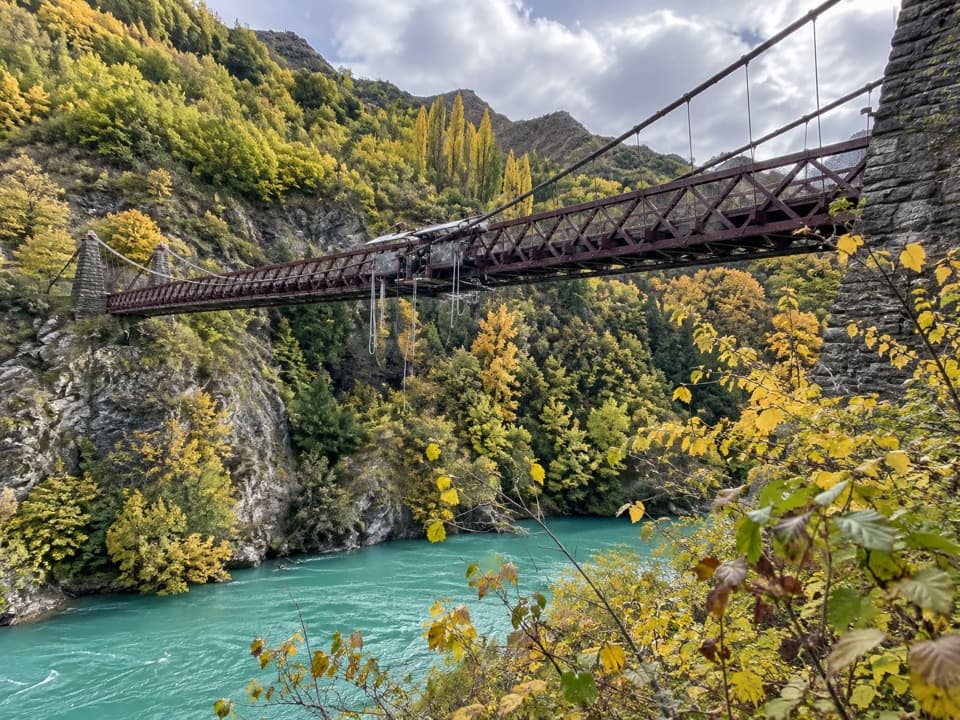
Roys Peak Lookout in Queenstown-Lakes District, New Zealand

Sight · Queenstown-Lakes District, New Zealand

Roys Peak Lookout

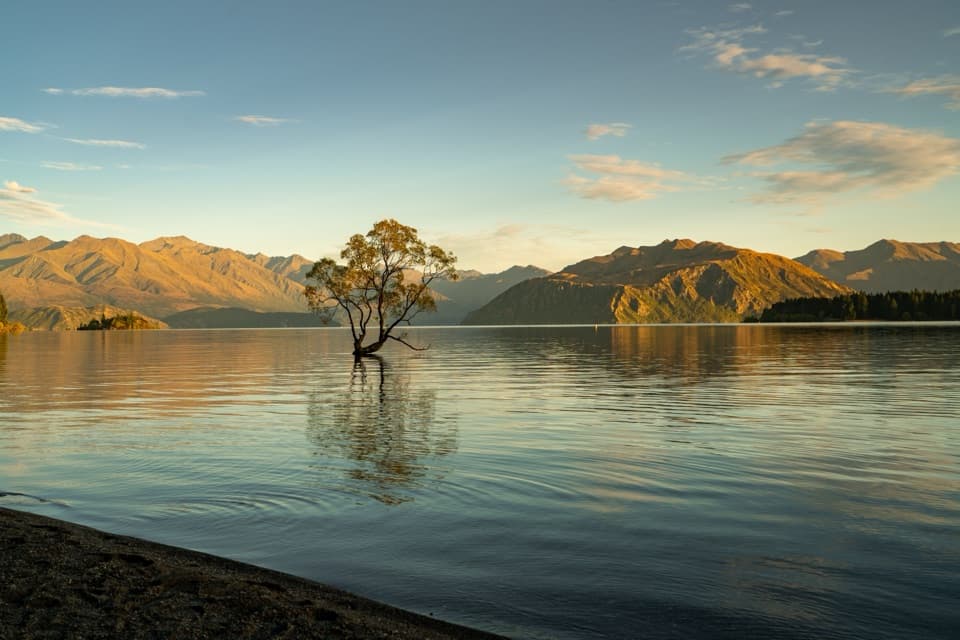
Lake Wānaka’s famous ridge photo takes a serious uphill slog.

Photo: Photo by Samuel Malmström on Unsplash

Type
Sight
Nearest trail
2.5 km
Audio stories
4 nearby
  • Scenic viewpoint
  • Restrooms
  • #26 of 83 sights

Hear the audio tour

Roys Peak Trailhead
Download Parkwolf on the App StoreGet Parkwolf on Google Play

4.7 from 8,600+ ratings

Overview

About Roys Peak Lookout

Why stop

  • The narrow ridge frames a wide view of Lake Wānaka.

Heads up

  • Long, steep climb with a demanding descent.
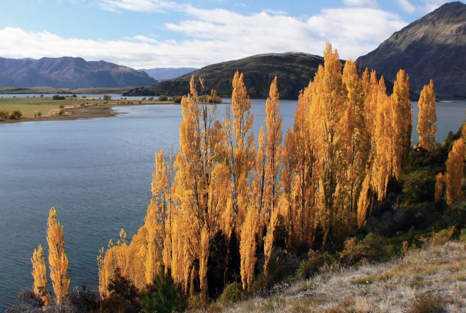
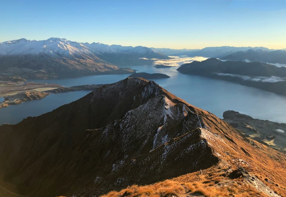
Roys Peak Lookout is the famous photo viewpoint on the Roys Peak Track, on a narrow ridge above Lake Wānaka about 30 minutes before the 1,578 m summit. It is known for a high, north-facing panorama of the lake and Southern Alps. This is a challenging full-day hike, not a roadside stop. The full summit return is about 16 km with more than 1,200 m of climbing; reaching the photo point saves only the final stretch.
Parkwolf’s verdictIs the climb for you?

Map

Where it is

Loading the Queenstown-Lakes District map
Full map
SightRoys Peak Lookout-44.68940, 169.04990
Keep this map with you offline in the Parkwolf app

Plan your stop

Before you go

Conditions and facilities

This is an exposed alpine climb with no shade or water along the track. Carry food, plenty of drinking water, sun protection, and warm waterproof layers; daylight is safest, and the higher route enters challenging avalanche terrain above 1,000 m. The track closes every year from 1 October to 10 November for lambing. There is a toilet at the car park and another near the photo viewpoint.


3 active Queenstown-Lakes District alerts

  • CautionRob Roy Track: stop at lower lookout during avalanche seasonFrom May to November, end your Rob Roy Track hike at the lower lookout: DOC strongly recommends this because the upper section crosses active avalanche paths.Official details
  • ClosureSkippers Bridge closed to all usersSkippers Bridge is closed to all vehicles, cyclists and pedestrians; stay off the bridge and obey closure signs and barriers.Official details
See all 3 alerts
A park ranger sits on a dash-mounted phone, talking, as Parkwolf’s Tour Guide plays “Army Cutworm Moths: A Grizzly Bear Buffet” on Grand Loop Road below Dunraven Pass in Yellowstone
Parkwolf Tour GuideThe highest, rockiest slopes around here are a summer buffet for grizzly bears.

Queenstown-Lakes District Tour Guide

Your drive to Roys Peak Lookout, narrated.

Parkwolf is a GPS audio tour guide for Queenstown-Lakes District, New Zealand. As you drive, it chimes in with what’s ahead: hidden gems, upcoming stops, history, geology, and wildlife, right through your car’s speakers.

See the Queenstown-Lakes District audio tour

Recorded for this place

Roys Peak Trailhead
0:00 / 0:24
“Up ahead is the Roys Peak trailhead, for wide views over Lake Wānaka and the Southern Alps.”

Plays as you drive up to Roys Peak Lookout in the Parkwolf Queenstown-Lakes District Tour Guide.

More stories near here in the app

  • Why Stoats Were Brought Here
  • Saturday Nights on Ruby Island
  • Eighty-Seven Pounds of Gold
  • Glendhu Bay Track from Ruby Island Road
  • 298 audio storiesacross Queenstown-Lakes District’s roads, triggered by GPS as you drive
  • Wildlife heatmapsfor Kea, Kākā, Kererū, and 13 more
  • Works offlinemaps, 155 trails, 129 places, and audio download before you lose signal
  • CarPlay readysimple controls built for the drive
★★★★★
“Fantastic app with many points of information… It’s great to just turn on while you’re driving and it gives you an audio tour of the national Park. We love it!!!!”
JMJamesApp Store review
Download Parkwolf on the App StoreGet Parkwolf on Google Play

4.7 from 8,600+ ratings

Guide

More about Roys Peak Lookout

The route to the ridgeStart at the Roys Peak car park on Wānaka–Mount Aspiring Road, about 6 km west of town.

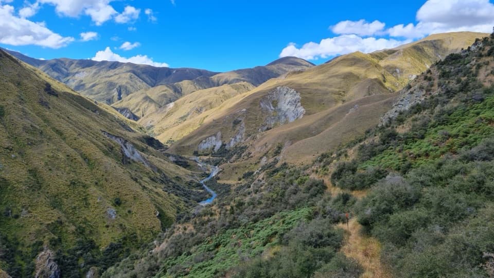
Start at the Roys Peak car park on Wānaka–Mount Aspiring Road, about 6 km west of town. The marked track climbs in long zigzags across farmland, then continues through tussock. The photo point is roughly 30 minutes before the summit, so it gives you a natural turnaround without the final climb, but the hike there and back is still a big day. The car park gets very busy; do not park on the road edge. Stay on the marked track across private farmland, close gates, and respect livestock.

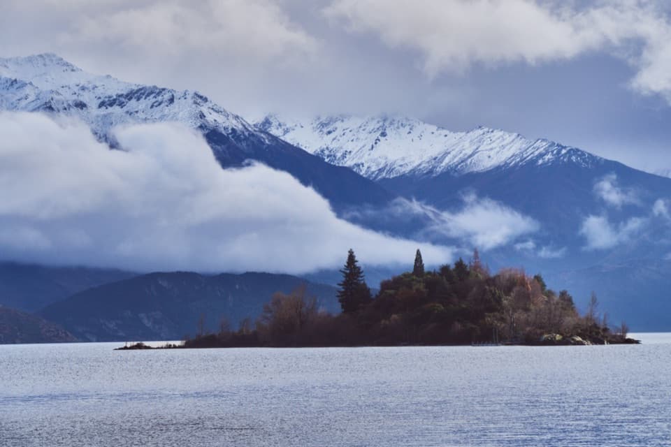
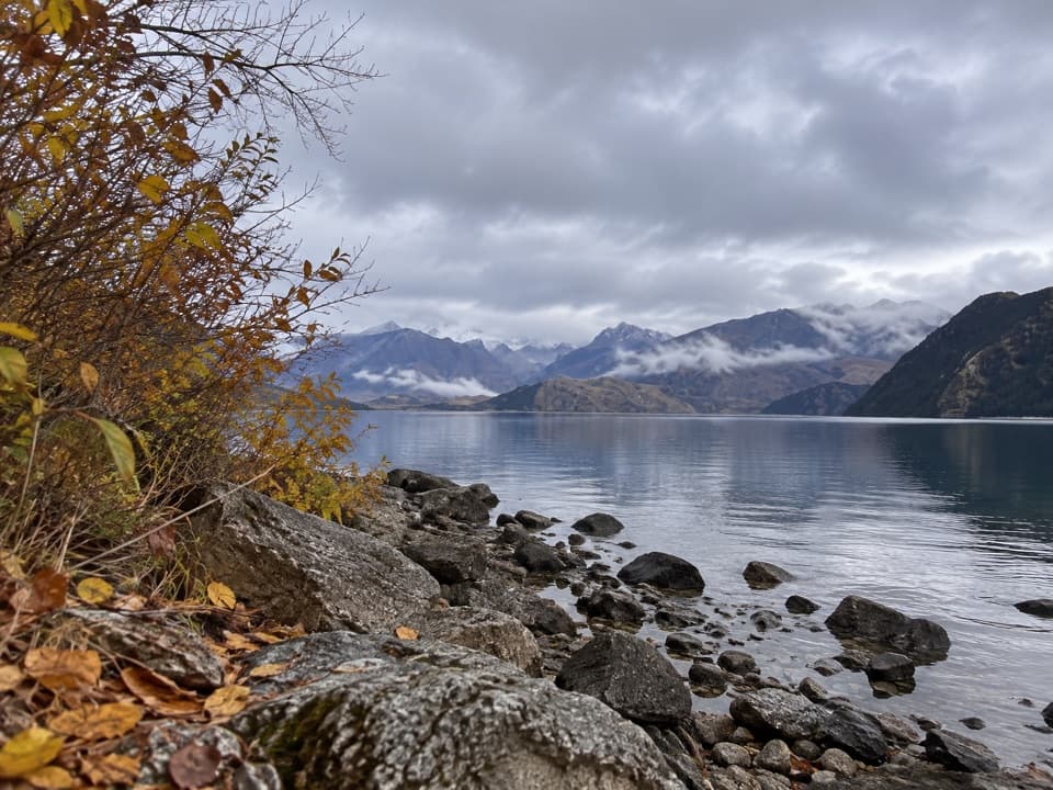
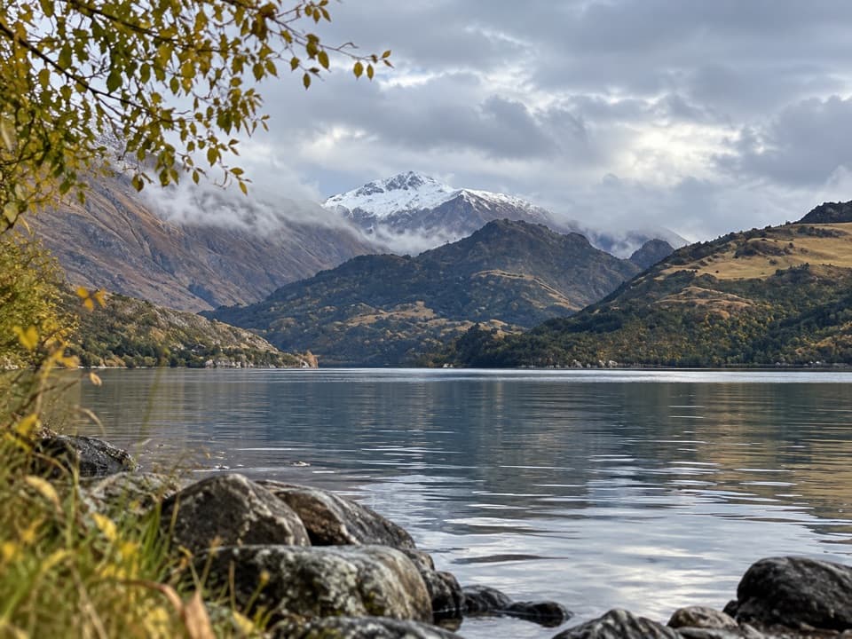
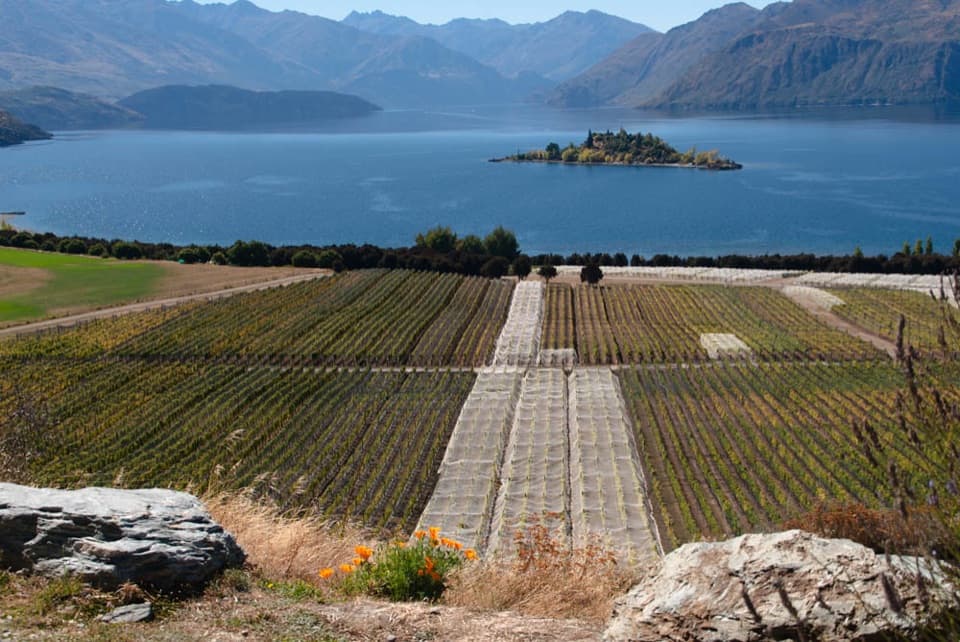
The classic lake viewFrom the ridge, Lake Wānaka’s bays and islands spread below the Southern Alps.

From the ridge, Lake Wānaka’s bays and islands spread below the Southern Alps. The signature composition puts the narrow ridge or path in the foreground, with the lake beyond it. The projecting photo spot can be busy, so leave time to wait for a clear frame. Drones require a permit.

John Roy and Wānaka Run SouthJohn Roy, a Scottish-born settler, surveyor and pastoralist, received a 14-year pastoral…

John Roy, a Scottish-born settler, surveyor and pastoralist, received a 14-year pastoral licence for Wānaka Run South in 1860. Roys Peak and several nearby landmarks carry his name, including Roys Bay and Roys Peninsula.

Wildlife

Wildlife in Queenstown-Lakes District

All Queenstown-Lakes District wildlife maps

Sighting maps show where each species has been reported across Queenstown-Lakes District. Wildlife moves, so no sighting is guaranteed.

Keep exploring

Near Roys Peak Lookout

See it all on the map

Trails nearby

More stops nearby

Parkwolf’s Queenstown-Lakes District ranking

Top sights in Queenstown-Lakes District

All 129 places
  1. 1Skyline QueenstownSight
  2. 2TSS EarnslawSight
  3. 3Kawarau Bridge and Bungy CentreSight
  4. 4That Wānaka TreeSight
  5. 5Queenstown GardensSight
  6. 6Shotover JetSight

Take Parkwolf to Queenstown-Lakes District.

The audio tour guide for the drive, plus offline maps, trails, and wildlife heatmaps for when the signal drops.

4.7 from 8,600+ ratings

Download Parkwolf on the App StoreGet Parkwolf on Google Play