Parking
Start at Ruby Island Wharf after arriving by boat or kayak. There is no road access on the island; arrange vehicle parking and launch or boat transport on the mainland.
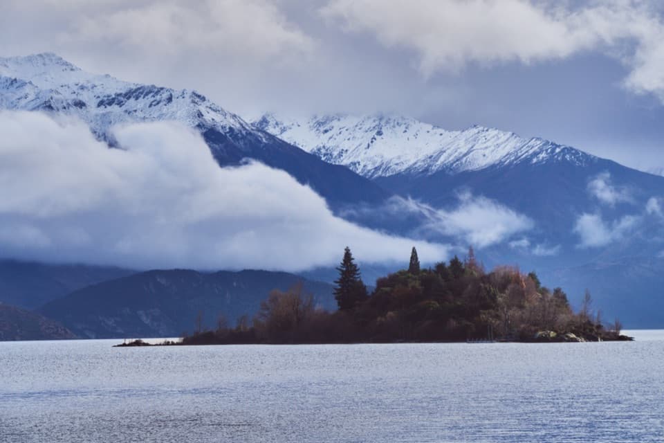
Queenstown-Lakes District, New Zealand, OT
A short island loop with lake views and a lively cabaret past.
Overview
Map & elevation
Plan your hike

The highest, rockiest slopes around here are a summer buffet for grizzly bears.
Queenstown-Lakes District Tour Guide
Parkwolf is a GPS audio tour guide for Queenstown-Lakes District, New Zealand. As you drive, it chimes in with what’s ahead: hidden gems, upcoming stops, history, geology, and wildlife, right through your car’s speakers.
See the Queenstown-Lakes District audio tourRecorded for this area
Glendhu Bay Track from Ruby Island Road“Glendhu Bay Track is coming up at the Ruby Island Road car park. Choose it for a half-day along Lake Wānaka, with open terraces and a beach break at Damper Bay.”
Plays on the road 0.7 km from the trailhead in the Parkwolf Queenstown-Lakes District Tour Guide.
More stories near here in the app
“Fantastic app with many points of information… It’s great to just turn on while you’re driving and it gives you an audio tour of the national Park. We love it!!!!”


Trail guide
Ruby Island Walk is a short loop on a small island in Lake Wānaka, with lake views on a fine day. The mapped closed circuit is about 0.34 miles. One visitor estimate puts the walk near 20 minutes, but neither the distance nor time is officially published. That figure covers the loop only: the short approach from the wharf to the mapped path is not shown, so allow a little extra walking. The route's surface and grade are not described.
Reach Ruby Island by boat or kayak; this is not a shore-side walk. Begin at Ruby Island Wharf and arrange mainland parking and launch or boat transport separately. A toilet and barbecue are listed on the island, but potable water is not confirmed, so bring your own. Dogs are allowed, and camping is not allowed.
Ruby Island has hosted more than picnics. From 1927 to 1930, the Hunt family ran Saturday-night cabarets here. Local histories describe a beech-timber dance floor brought over from Makarora and parties that sometimes drew as many as 200 people. It's a lively story to have in mind while making this little circuit.
Wildlife
 194 sightingsKeaMost seen around 5 PMSighting map
 18 sightingsKākāMost seen around 6 PMSighting map
 198 sightingsKererūMost seen around 10 AMSighting map
 53 sightingsWekaMost seen around 6 PMSighting map
 245 sightingsTūīMost seen around 8 AMSighting map
 98 sightingsBellbirdMost seen around 6 AMSighting map
Sighting maps show where each species has been reported across Queenstown-Lakes District. Wildlife moves, so no sighting is guaranteed.
Keep exploring
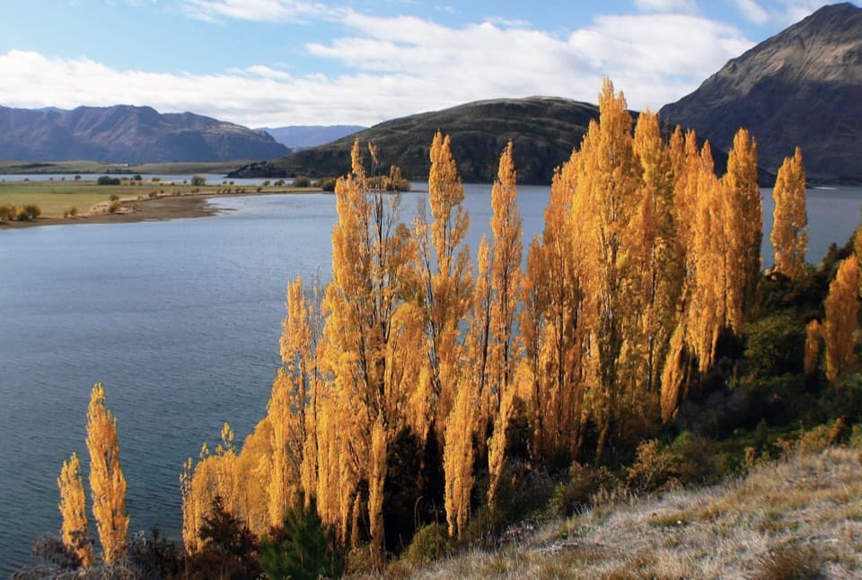 ModerateGlendhu Bay Track12.5 km · 3.5 hr · 0.7 km awayA long lake walk with a summer swim stop at Damper Bay.
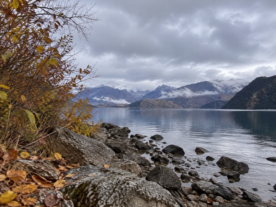 EasyBeacon Point Walk1.5 km · 30 min · 1.6 km awayEasy lakeside walking from Bremner Bay to Beacon Point.
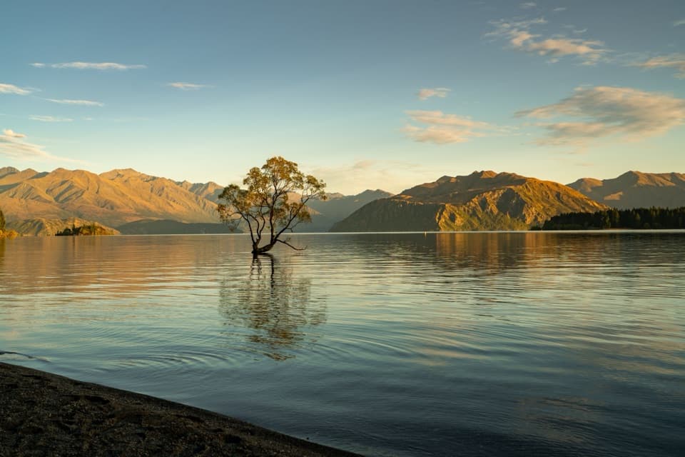 EasyWaterfall Creek Track5 km · 1.5 hr · 2.3 km awayEasy lakeside miles lead to the Wānaka Tree and Waterfall Creek
 ChallengingRoys Peak Track16 km · 5.5 hr · 2.7 km awayHard climbing earns Lake Wānaka and the Southern Alps in one sweep.ChallengingSkyline Track23 km · 10.5 hr · 2.7 km awayA full-day ridge traverse from Roys Peak to Cardrona Road.
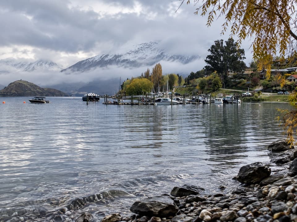 EasyEely Point Walk4.5 km · 1 hr · 2.7 km awayEasy lakeside walk from town to a sheltered boating and picnic point.
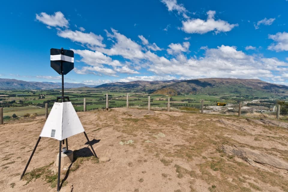 ModerateMount Iron Track4.5 km · 1.8 hr · 4.2 km awayA short, steep loop with big Wānaka basin views
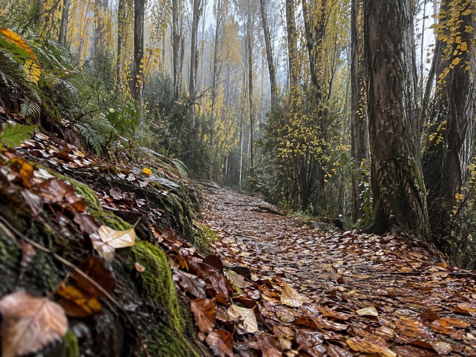 EasyOutlet Track3 km · 1 hr · 4.6 km awayA shaded, one-way river walk from the lake outlet to Albert Town.
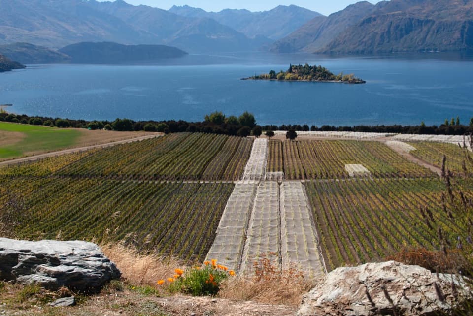 Sight · 1.4 km awayRippon VineyardBook a small tasting for Wānaka wine and Ruby Island views.
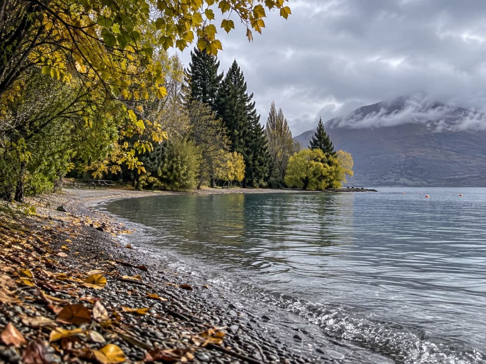 Picnic area · 1.4 km awayEely Point ReserveA quieter lakeside picnic stop beyond the Wānaka marina.
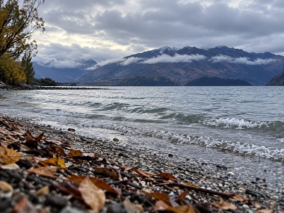 Beach · 1.8 km awayBremner Bay BeachA shallow family swim five minutes beyond Eely Point.
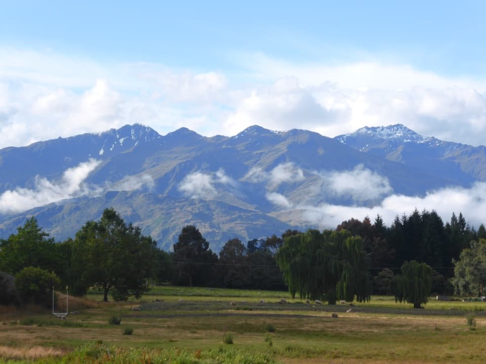 Campground · 1.9 km awaySundale Holiday Park & Retreat – WānakaChoose from camping, cabins and motels close to Wānaka.
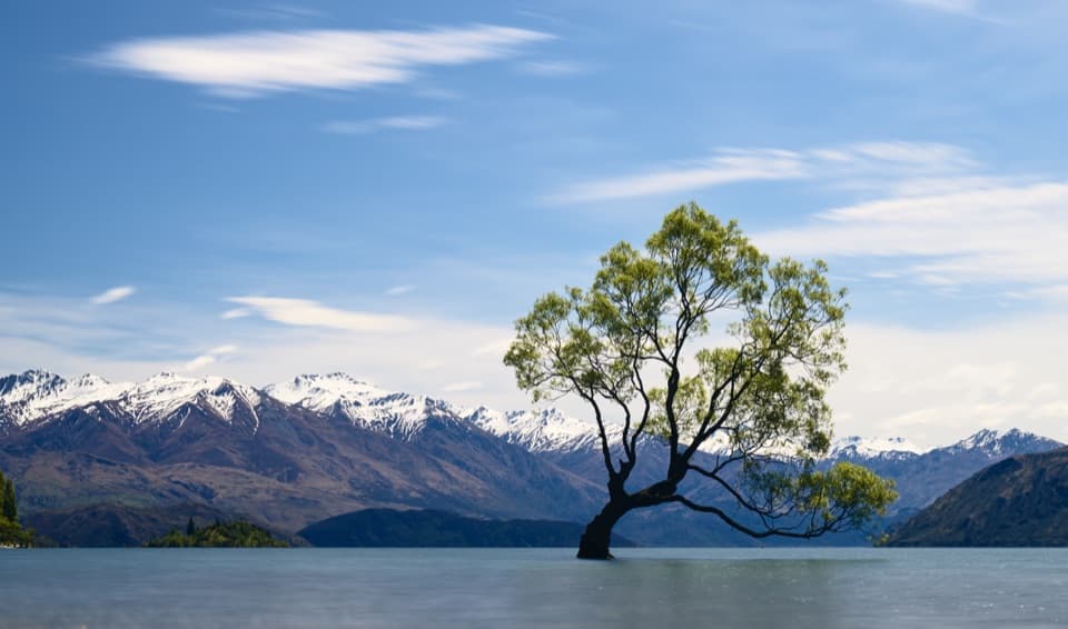 Sight · 2 km awayThat Wānaka TreeOne little willow turns the whole lake into its frame.
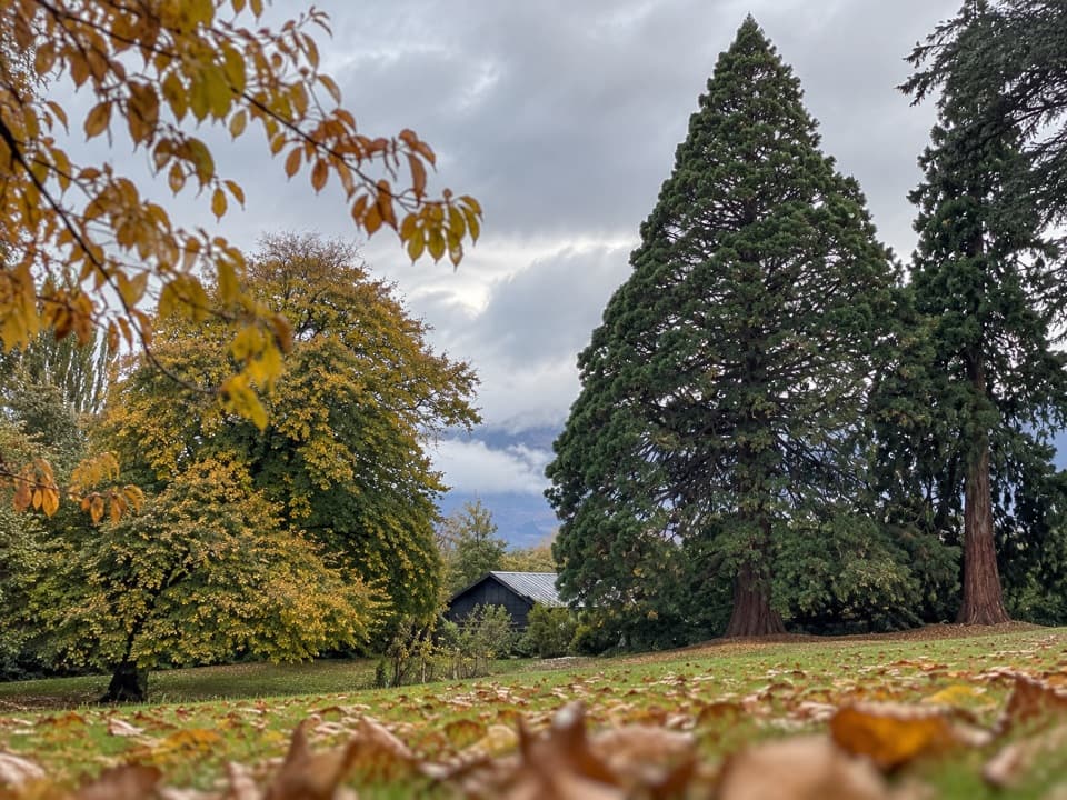 Picnic area · 2.1 km awayWānaka Station ParkA shady heritage garden with sequoias and old homestead walls.
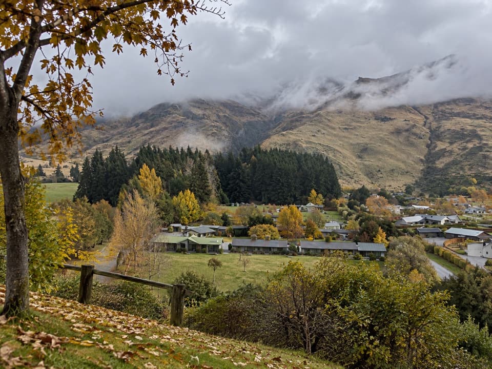 Campground · 2.5 km awayTasman Holiday Parks – WānakaA guest sauna and hot tubs sweeten a practical campground stay.
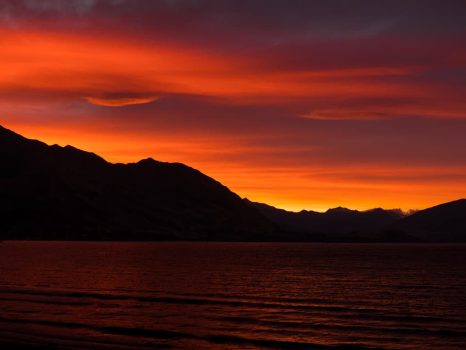 Beach · 2.6 km awayWānaka Lakefront and Roys Bay BeachPebble shore, quick swims and a stroll toward the Wānaka Tree.
Parkwolf’s Queenstown-Lakes District ranking

The audio tour guide for the drive, plus offline maps, trails, and wildlife heatmaps for when the signal drops.




