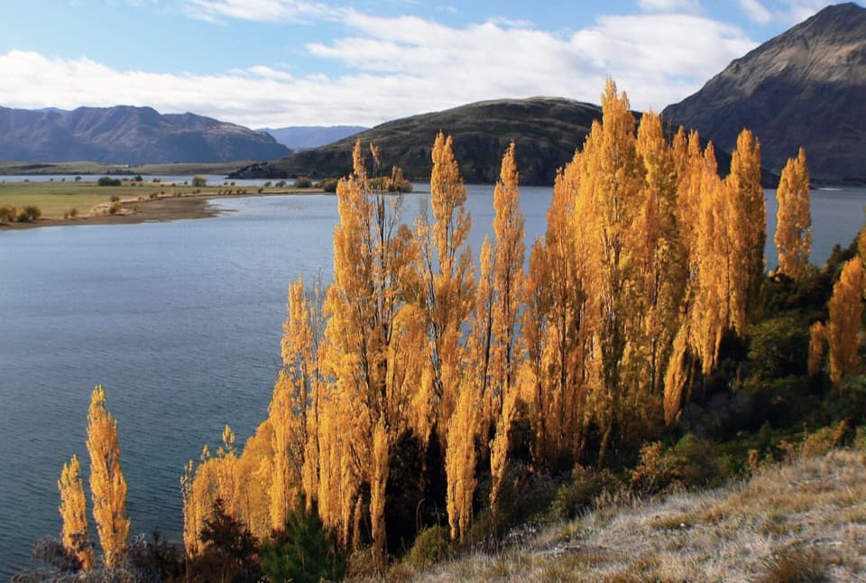
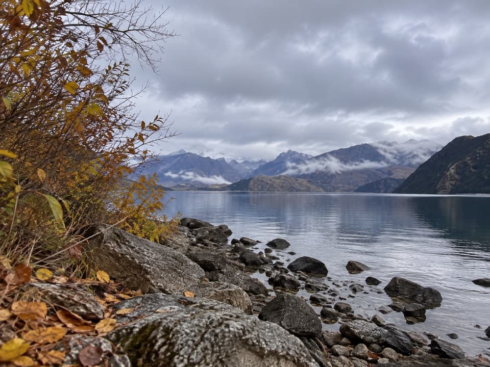
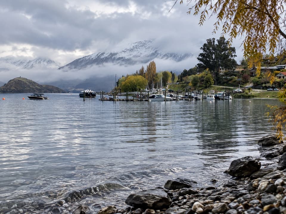
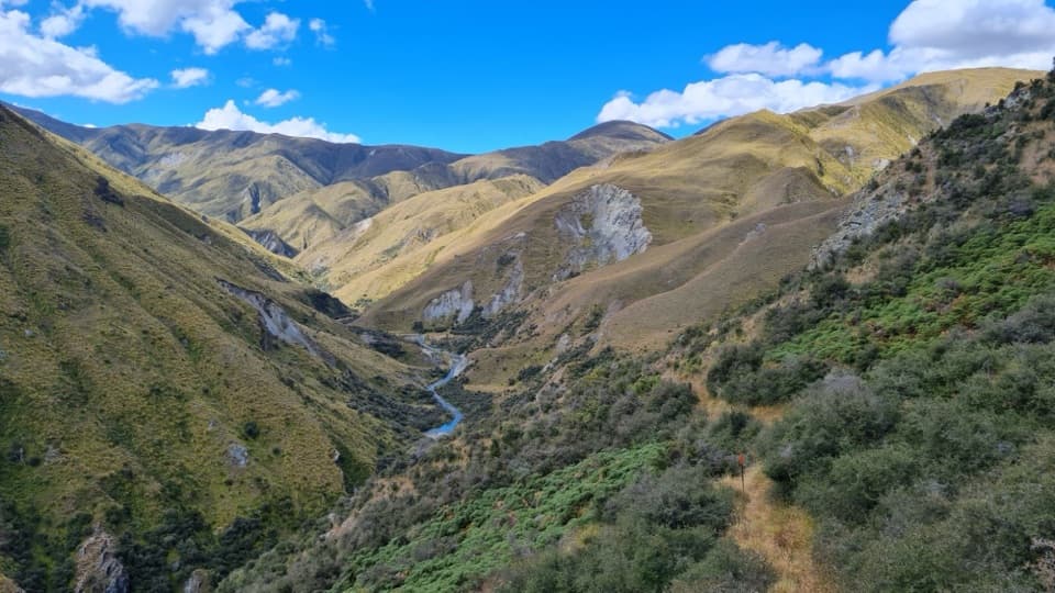
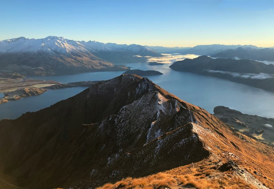
Skyline Track is a demanding 23 km one-way route from the Roys Peak Track carpark to Cardrona Valley Road. It climbs through farmland and tussock to Roys Peak, follows an exposed ridgeline over Mt Alpha, then descends through Spotts Creek. Allow 10–11 hours and arrange transport between the two ends. Published distance figures differ; use 23 km for planning, as the shorter listings do not match the mapped route.
This is a strenuous outing for experienced trampers, with long climbing, limited shelter and sections where careful navigation matters. The reward is a continuous high-country traverse with views over Lake Wānaka, the Southern Alps and Cardrona Valley. It can be walked in either direction, but the recorded route and directions here run from Roys Peak toward Cardrona Road.