Parking
The signed Fern Burn car park is on the right side of Motatapu Road, about 3 km from Glendhu Bay Camp. The track starts opposite on the left, just before the first bridge or river ford.
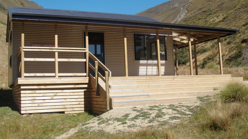
Queenstown-Lakes District, New Zealand, OT
A river valley climb to Fern Burn Hut and open tussock.
Photo: Department of Conservation / CC BY 4.0
Overview
Map & elevation
Plan your hike

The highest, rockiest slopes around here are a summer buffet for grizzly bears.
Queenstown-Lakes District Tour Guide
Parkwolf is a GPS audio tour guide for Queenstown-Lakes District, New Zealand. As you drive, it chimes in with what’s ahead: hidden gems, upcoming stops, history, geology, and wildlife, right through your car’s speakers.
See the Queenstown-Lakes District audio tourRecorded for this trailhead
Motatapu and Fern Burn Hut“You're approaching Fern Burn car park, the start of the Motatapu Track. For a day walk, follow Fern Burn through beech forest and cascades to a hut above the trees, allowing six to eight hours return.”
Plays as you drive up to this trailhead in the Parkwolf Queenstown-Lakes District Tour Guide.
More stories near here in the app
“Fantastic app with many points of information… It’s great to just turn on while you’re driving and it gives you an audio tour of the national Park. We love it!!!!”


Trail guide
Fern Burn Hut Track is about 8.7 miles (14 km) out and back from the signed car park on Motatapu Road. It follows the first 7 km of the multi-day Motatapu Track to Fern Burn Hut, then returns on the same path. The walk starts through farmland beside Fern Burn, enters remnant beech forest where the burn narrows into cascades, then climbs above the trees through tussock to the hut at 720 m. The hut approach is usually 3–4 hours one way; allow about 6–8 hours for the return walk. It suits walkers who want a full valley climb with a hut at the end.
The lower route follows the burn through farmland and then into beech forest. As the valley tightens, the water runs through small cascades and pools. The track steepens and narrows here, with drops toward the stream, so this is a walk to take steadily, especially with children.
Past the bush line, the route climbs through open high-country tussock to Fern Burn Hut at 720 m. The upper traverse is exposed above the river and can be hot in summer; plan the climb to avoid the hottest part of the day. The hut marks the turn-around for this outing. Continuing onward is the longer Motatapu Track, a separate multi-day trip.
Fern Burn Hut is a standard 12-bunk hut with first-come, no-booking access; hut fees apply. Reaching it crosses Motatapu Station Pastoral Lease under a public easement, so stay on the marked route. Dogs are not permitted.
Wildlife
 190 sightingsKeaMost seen around 5 PMSighting map
 18 sightingsKākāMost seen around 6 PMSighting map
 197 sightingsKererūMost seen around 10 AMSighting map
 51 sightingsWekaMost seen around 6 PMSighting map
 243 sightingsTūīMost seen around 8 AMSighting map
 97 sightingsBellbirdMost seen around 6 AMSighting map
Sighting maps show where each species has been reported across Queenstown-Lakes District. Wildlife moves, so no sighting is guaranteed.
Keep exploring
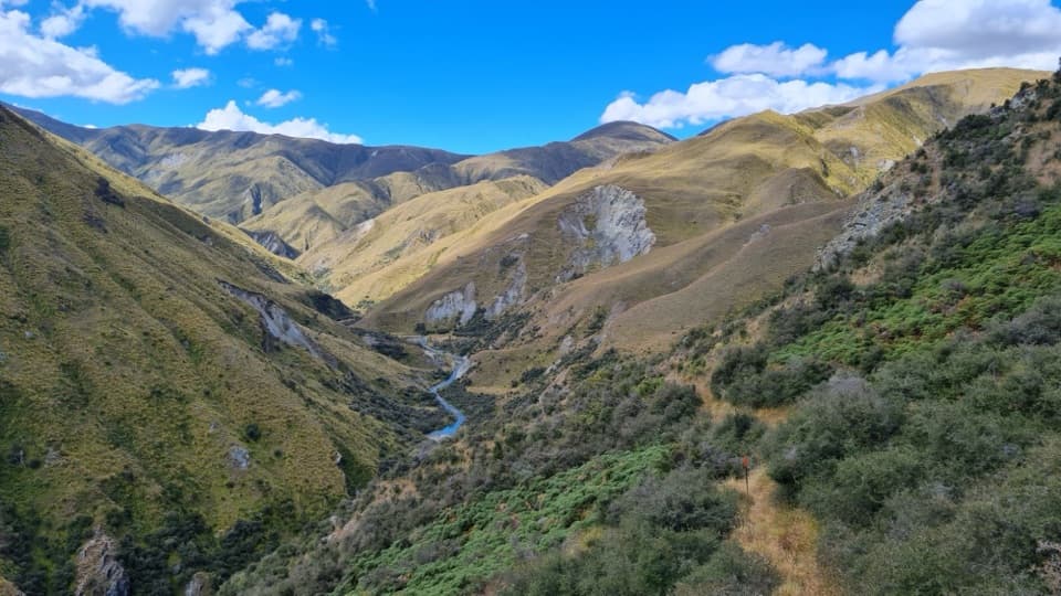 ChallengingMotatapu Track49 km · 1 day · At the trailheadA 49 km crossing through tussock, beech forest and gold country.
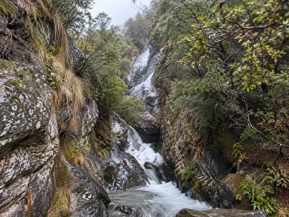 EasyMotatapu River Track5 km · 1.5 hr · 4.8 km awayOpen flats, shallow pools and a small gorge beside the river.
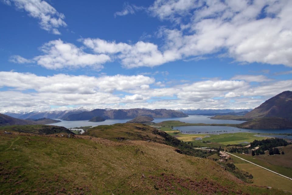 ModerateRocky Mountain Summit Track7 km · 3 hr · 5 km awayA compact summit loop, with lake views and a narrow exposed traverse.
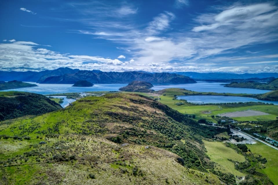 ModerateLake Wānaka Lookout Track5 km · 2 hr · 5 km awayTwo lake lookouts make a steep climb worth the effort.
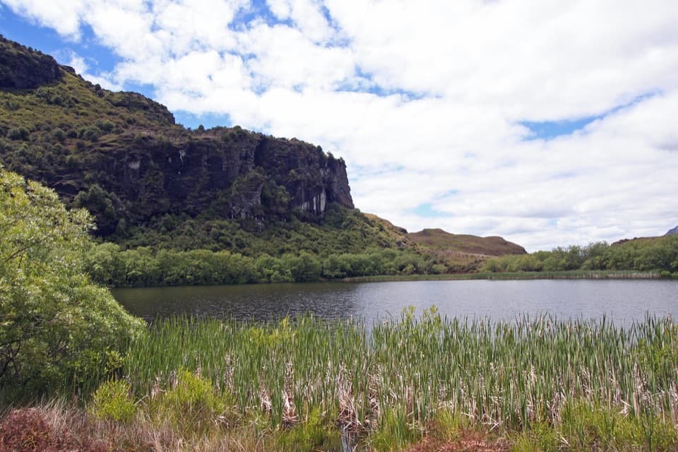 EasyDiamond Lake Loop Track2.1 km · 45 min · 5 km awayA quick shady loop around a lake beneath rocky bluffs.
 ChallengingRoys Peak Track16 km · 5.5 hr · 6.7 km awayHard climbing earns Lake Wānaka and the Southern Alps in one sweep.ChallengingSkyline Track23 km · 10.5 hr · 6.7 km awayA full-day ridge traverse from Roys Peak to Cardrona Road.
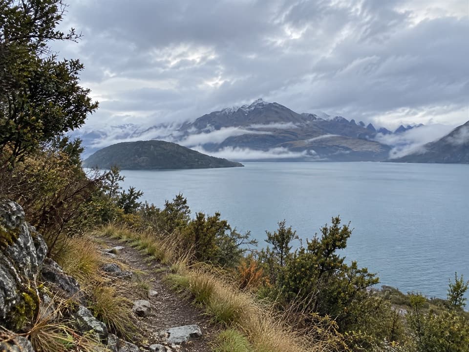 ChallengingMinaret Burn Track25.9 km · 9 hr · 7.7 km awayA long lakeshore walk into the Minaret Burn valley.
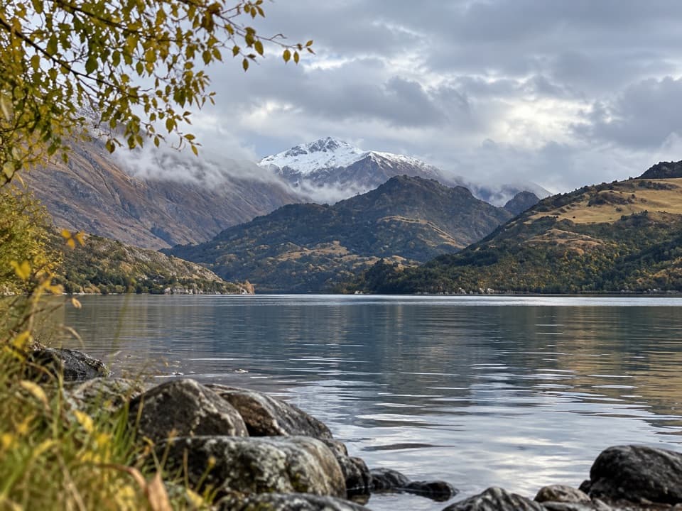 Campground · 2.8 km awayHampshire Holiday Parks – Glendhu BaySleep beside Lake Wānaka, with boat access and trails close by.
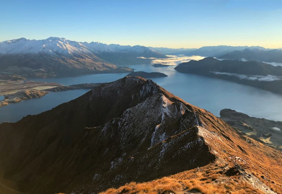 Sight · 4.7 km awayRoys Peak LookoutLake Wānaka’s famous ridge photo takes a serious uphill slog.
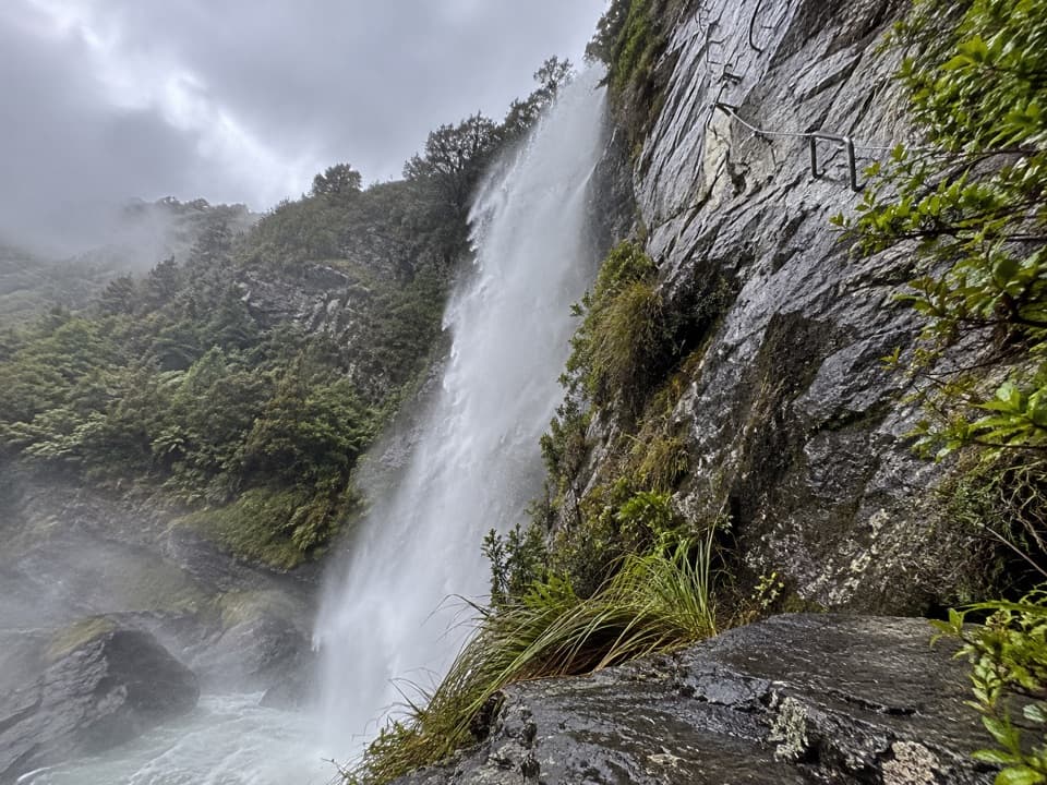 Sight · 6.5 km awayWildwire WānakaClip in for a guided climb beside Twin Falls.
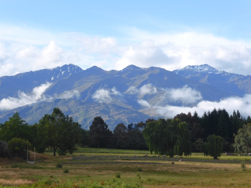 Campground · 8.8 km awaySundale Holiday Park & Retreat – WānakaChoose from camping, cabins and motels close to Wānaka.
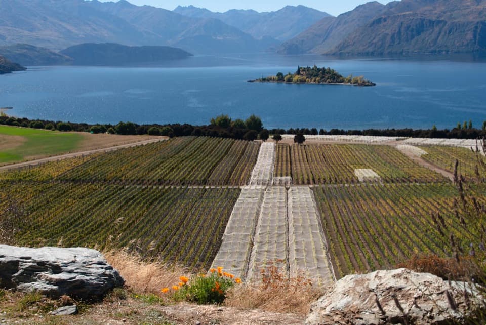 Sight · 9 km awayRippon VineyardBook a small tasting for Wānaka wine and Ruby Island views.
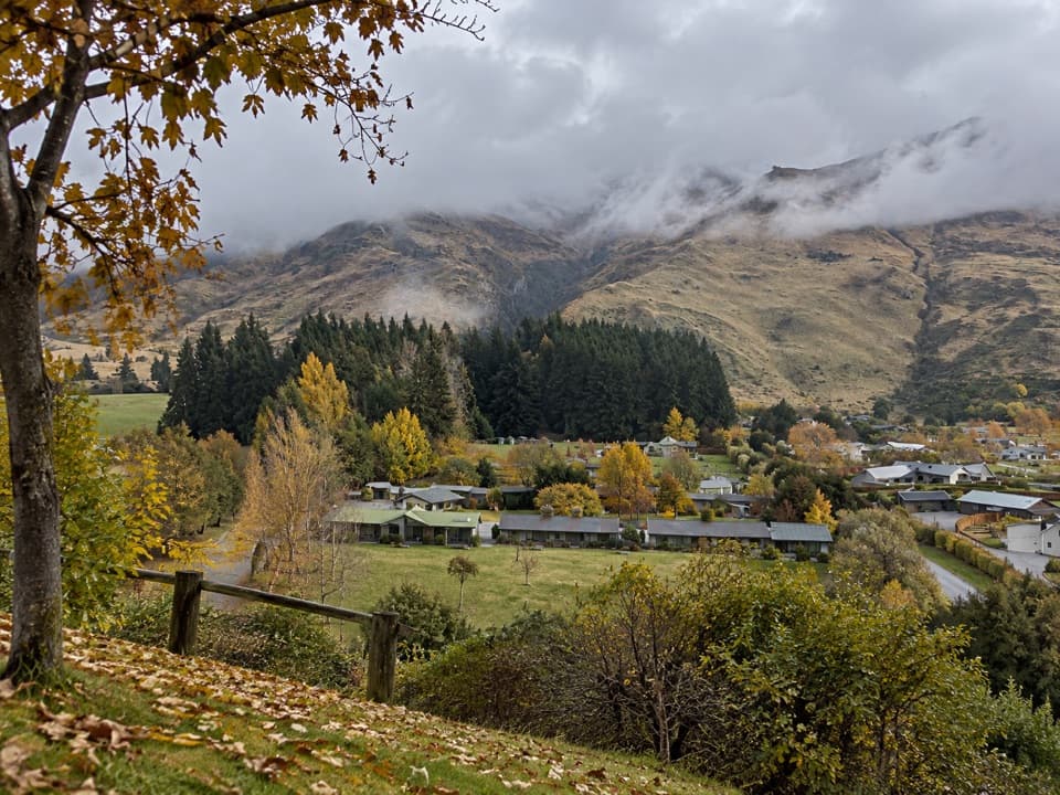 Campground · 9.5 km awayTasman Holiday Parks – WānakaA guest sauna and hot tubs sweeten a practical campground stay.
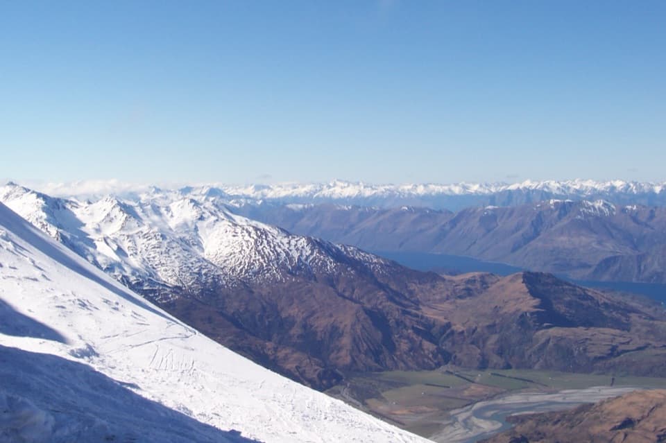 Sight · 9.8 km awayTreble Cone Ski AreaBig South Island ski terrain, with sweeping Lake Wānaka views.
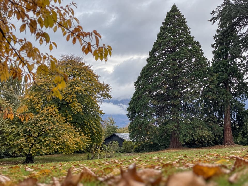 Picnic area · 10 km awayWānaka Station ParkA shady heritage garden with sequoias and old homestead walls.
Parkwolf’s Queenstown-Lakes District ranking

The audio tour guide for the drive, plus offline maps, trails, and wildlife heatmaps for when the signal drops.




