Parking
Start at Roys Beach, at the western end of Roys Bay near Wānaka Station Park. A dedicated trailhead car park was not confirmed.
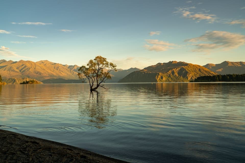
Queenstown-Lakes District, New Zealand, OT
Easy lakeside miles lead to the Wānaka Tree and Waterfall Creek
Overview
Map & elevation
Plan your hike

The highest, rockiest slopes around here are a summer buffet for grizzly bears.
Queenstown-Lakes District Tour Guide
Parkwolf is a GPS audio tour guide for Queenstown-Lakes District, New Zealand. As you drive, it chimes in with what’s ahead: hidden gems, upcoming stops, history, geology, and wildlife, right through your car’s speakers.
See the Queenstown-Lakes District audio tourRecorded for this trailhead
That Wānaka Tree and Station Park“You're nearing the lakeshore access for That Wānaka Tree, the solitary willow growing in the shallows of Roys Bay.”
Plays as you drive up to this trailhead in the Parkwolf Queenstown-Lakes District Tour Guide.
More stories near here in the app
“Fantastic app with many points of information… It’s great to just turn on while you’re driving and it gives you an audio tour of the national Park. We love it!!!!”


Trail guide
Waterfall Creek Track follows Lake Wānaka’s western shore from Roys Beach at the western end of Roys Bay to Waterfall Creek. The named leg is 2.5 km (1.6 mi) one way; turn around at the creek for 5 km (3.1 mi) round trip and allow about 1–2 hours. The route is easy and stroller-friendly. This walk ends at the creek; the longer Glendhu Bay Track continues beyond it.
The path soon reaches Wānaka Station Park, a picnic area, then winds beside the lake past Edgewater Resort and Rippon Vineyard. The shoreline path has open views across Lake Wānaka and the surrounding mountains. Near Waterfall Creek, Ruby Island comes into view. Bikes are permitted on the shared path.
The willow growing in Lake Wānaka is the route’s signature photo stop, before the creek. Frame it with the lake and mountain ridges behind it; the tree is right beside the walk, before you continue to the creek.
Wānaka Station Park is an early picnic stop. Rippon Vineyard’s cellar door offers wine tastings as a separate pause beside the route. Start at Roys Beach on the west end of Roys Bay, near Station Park.
Wildlife
 194 sightingsKeaMost seen around 5 PMSighting map
 18 sightingsKākāMost seen around 6 PMSighting map
 198 sightingsKererūMost seen around 10 AMSighting map
 53 sightingsWekaMost seen around 6 PMSighting map
 245 sightingsTūīMost seen around 8 AMSighting map
 98 sightingsBellbirdMost seen around 6 AMSighting map
Sighting maps show where each species has been reported across Queenstown-Lakes District. Wildlife moves, so no sighting is guaranteed.
Keep exploring
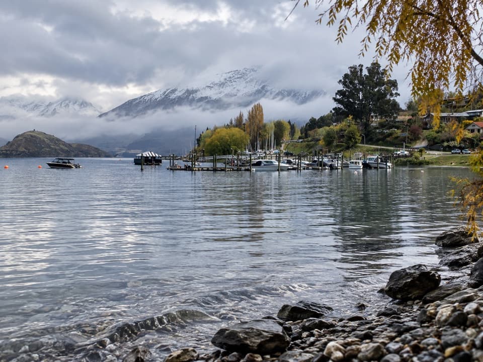 EasyEely Point Walk4.5 km · 1 hr · 1.3 km awayEasy lakeside walk from town to a sheltered boating and picnic point.
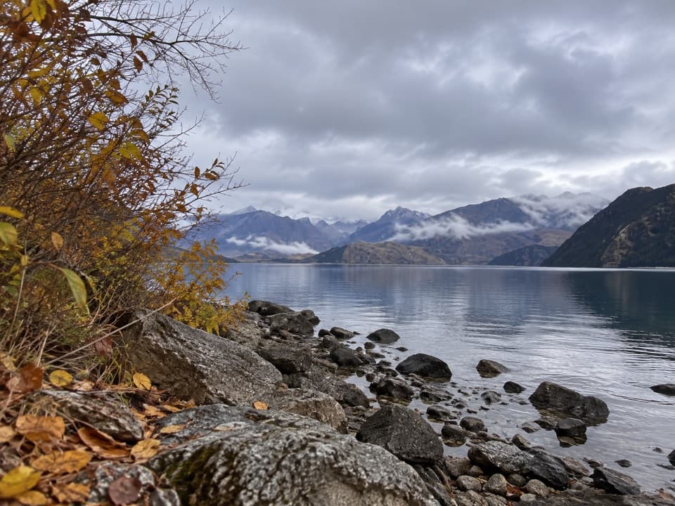 EasyBeacon Point Walk1.5 km · 30 min · 2.2 km awayEasy lakeside walking from Bremner Bay to Beacon Point.
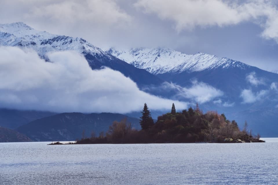 EasyRuby Island Walk0.5 km · 20 min · 2.3 km awayA short island loop with lake views and a lively cabaret past.
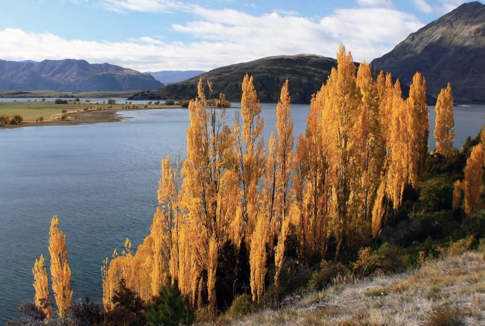 ModerateGlendhu Bay Track12.5 km · 3.5 hr · 2.3 km awayA long lake walk with a summer swim stop at Damper Bay.
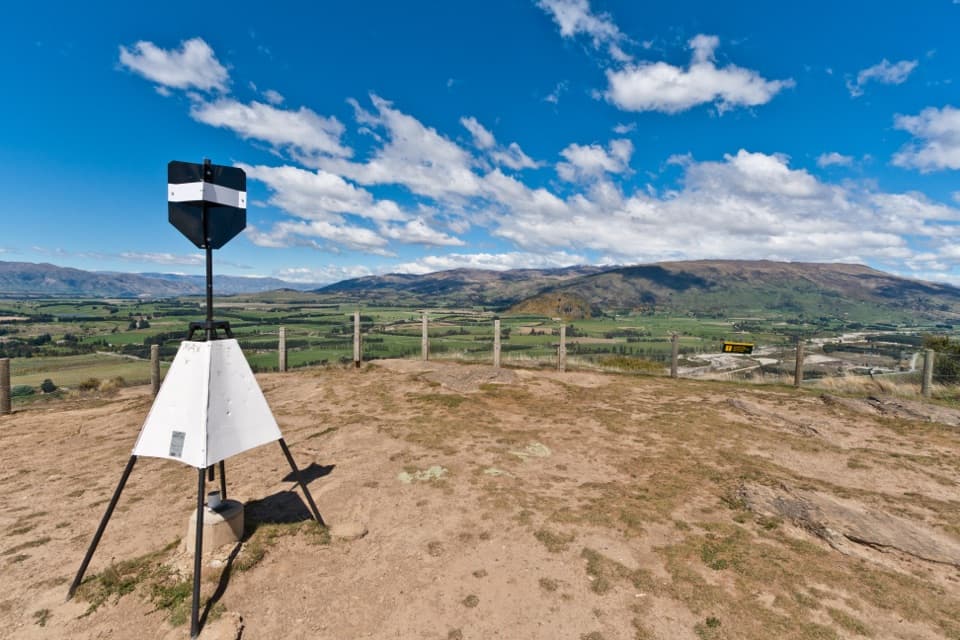 ModerateMount Iron Track4.5 km · 1.8 hr · 2.9 km awayA short, steep loop with big Wānaka basin views
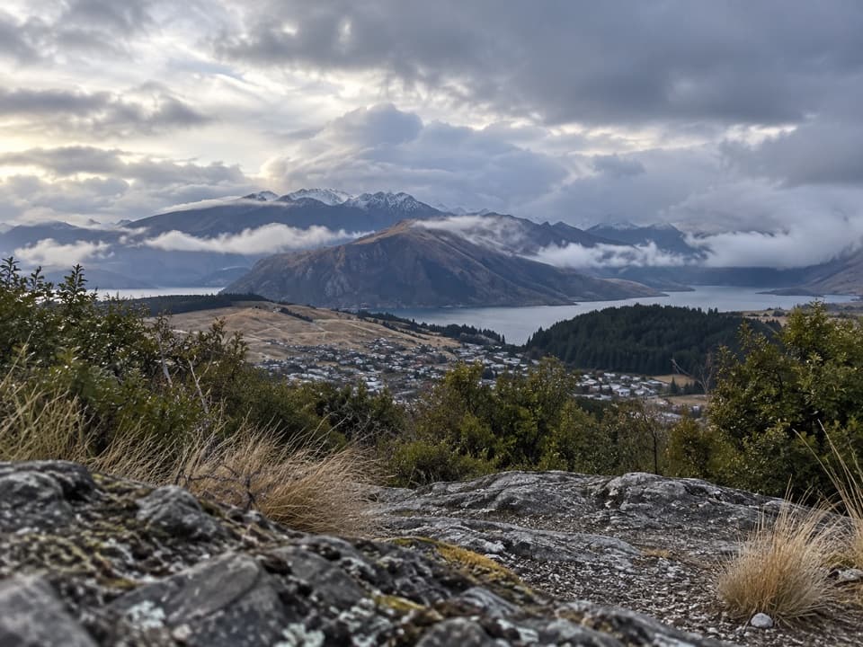 ModerateLittle Mount Iron Track2.6 km · 1.3 hr · 4.2 km awayA poled hill crossing with open views from a smaller summit.
 ChallengingRoys Peak Track16 km · 5.5 hr · 4.8 km awayHard climbing earns Lake Wānaka and the Southern Alps in one sweep.ChallengingSkyline Track23 km · 10.5 hr · 4.8 km awayA full-day ridge traverse from Roys Peak to Cardrona Road.
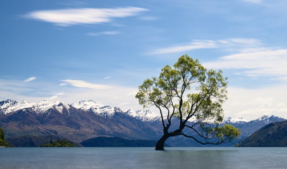 Sight · 0.2 km awayThat Wānaka TreeOne little willow turns the whole lake into its frame.
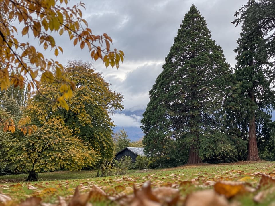 Picnic area · 0.3 km awayWānaka Station ParkA shady heritage garden with sequoias and old homestead walls.
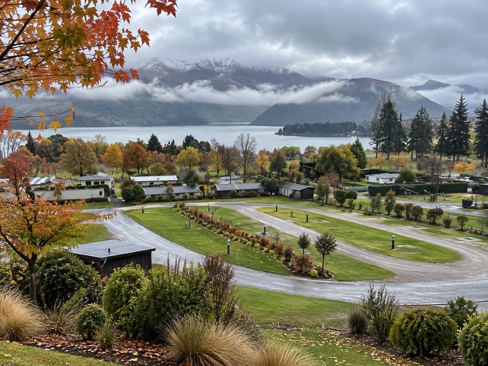 Campground · 0.7 km awayHampshire Holiday Parks – WānakaA central base for Wānaka, with cabins and powered campsites.
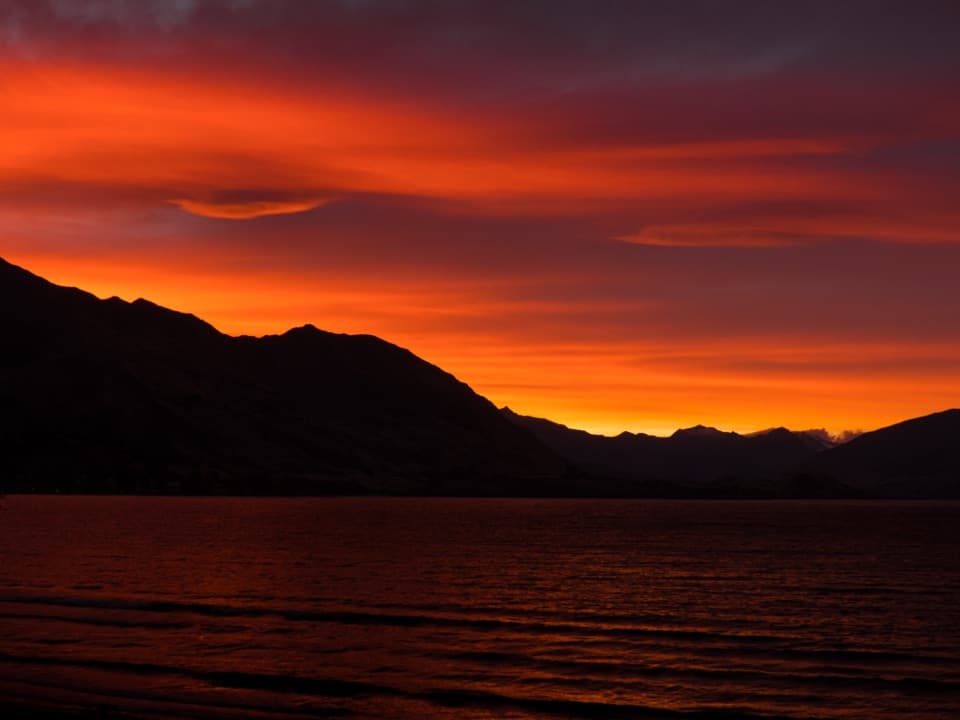 Beach · 0.7 km awayWānaka Lakefront and Roys Bay BeachPebble shore, quick swims and a stroll toward the Wānaka Tree.
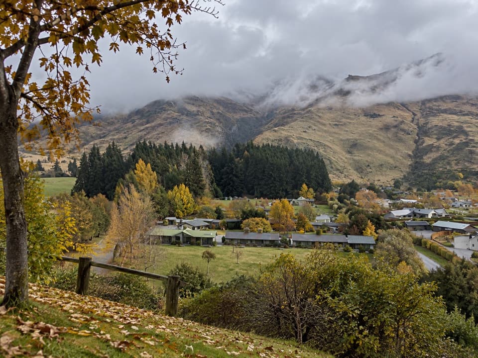 Campground · 1 km awayTasman Holiday Parks – WānakaA guest sauna and hot tubs sweeten a practical campground stay.
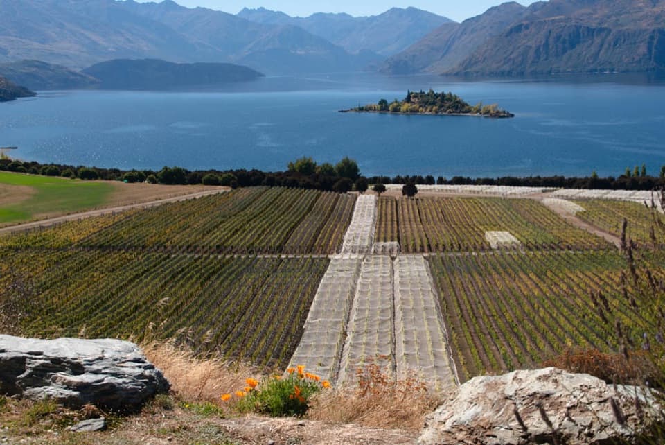 Sight · 1.3 km awayRippon VineyardBook a small tasting for Wānaka wine and Ruby Island views.
 Sight · 1.3 km awayCinema ParadisoA movie night with couches, a Morris Minor, and interval cookies.
 Visitor center · 1.4 km awayWānaka isite Visitor Information CentreGet local walking advice, maps and bookings in one stop.
Parkwolf’s Queenstown-Lakes District ranking

The audio tour guide for the drive, plus offline maps, trails, and wildlife heatmaps for when the signal drops.




