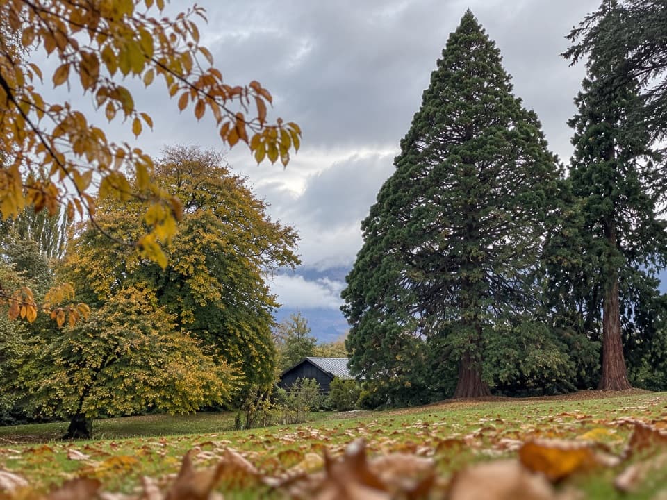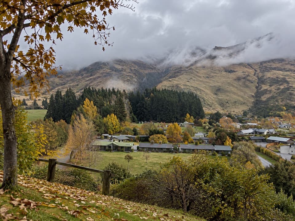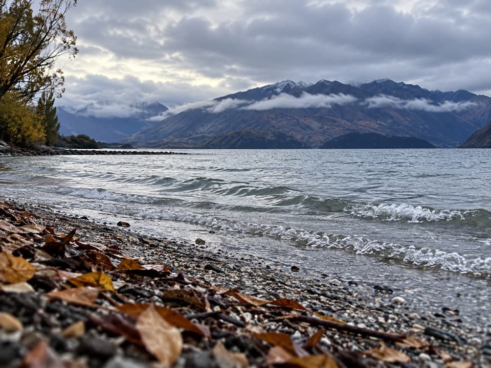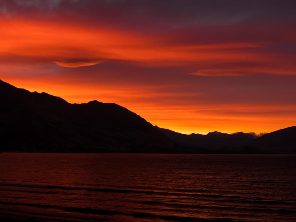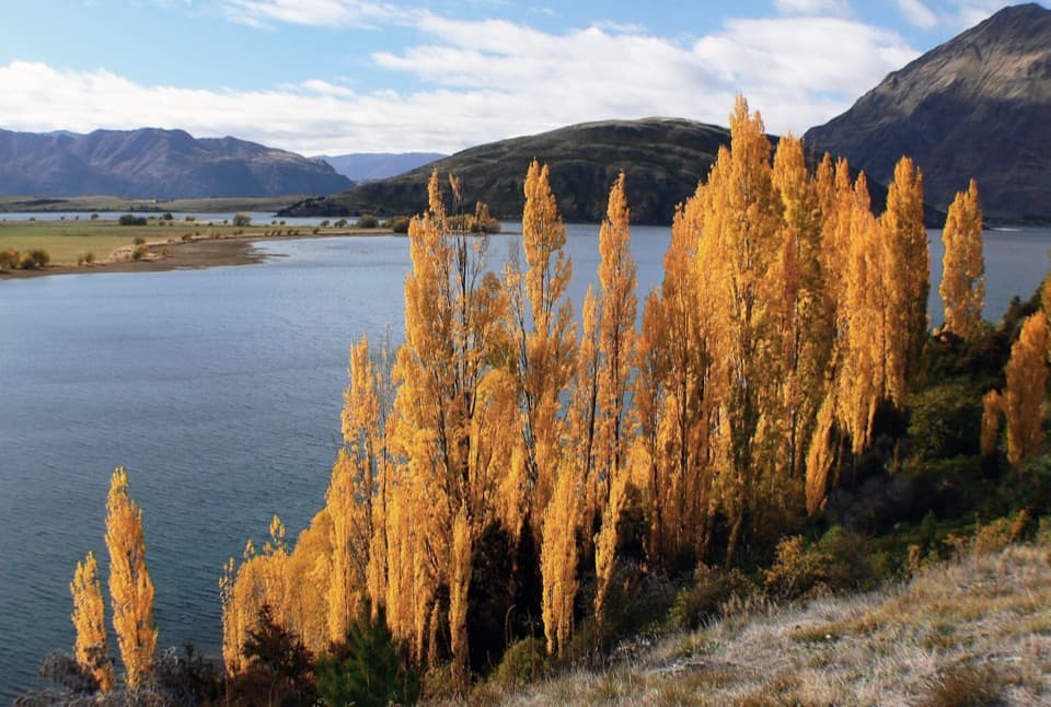
Glendhu Bay Track in Queenstown-Lakes District, New Zealand

Queenstown-Lakes District, New Zealand, OT

Glendhu Bay Track

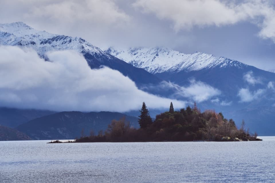
A long lake walk with a summer swim stop at Damper Bay.

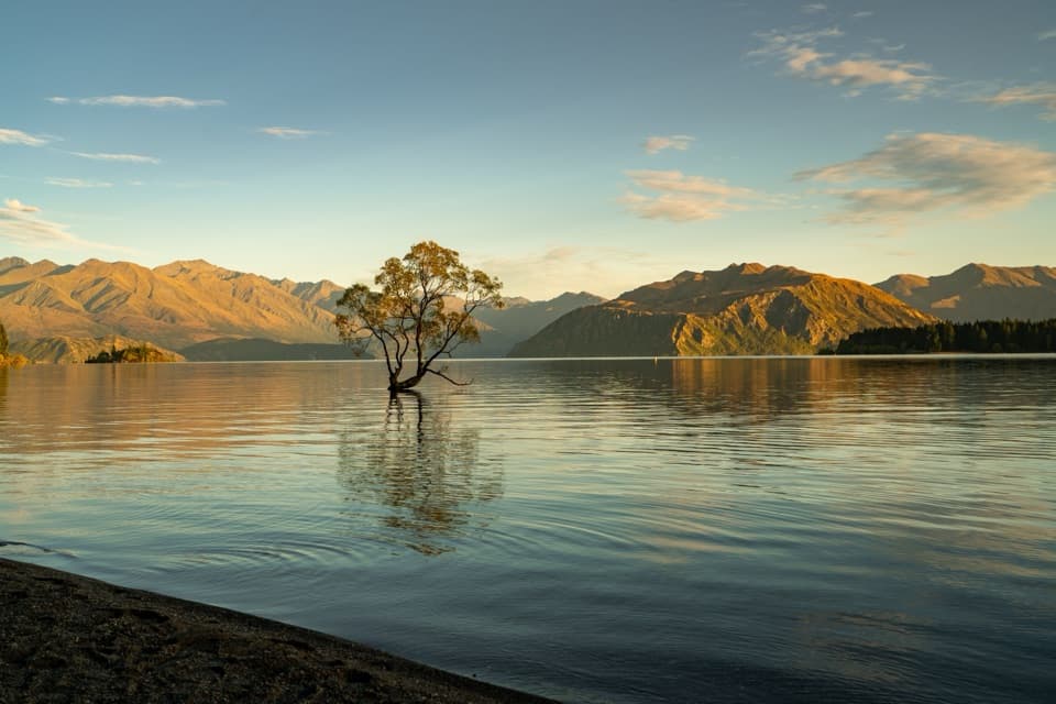
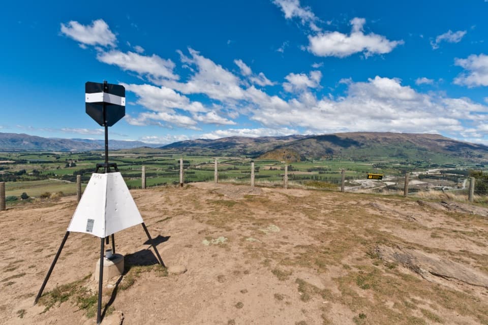
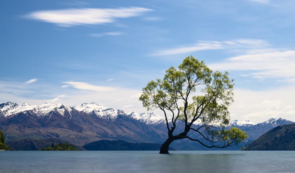
Photo: Bernard Spragg. NZ from Christchurch, New Zealand, CC0, via Wikimedia Commons

Length
12.5km
Time
3.5hr
Elev. change
73m
Difficulty
Moderate
  • High point 351 m
  • #49 of 155 in Queenstown-Lakes District

Hear the audio tour

Glendhu Bay Track from Ruby Island Road

Overview

About Glendhu Bay Track

Why go

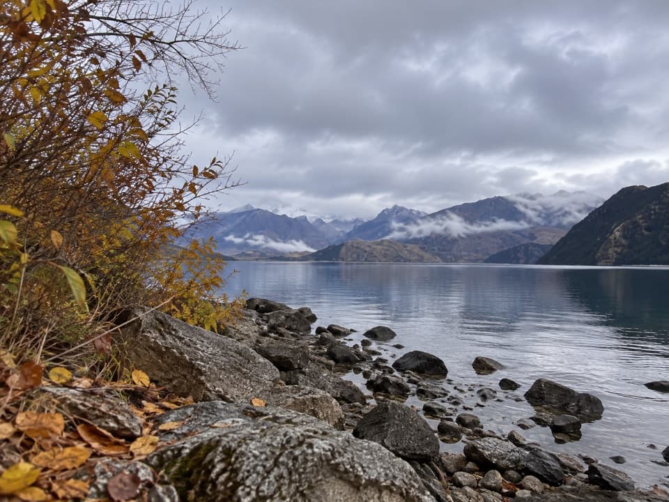
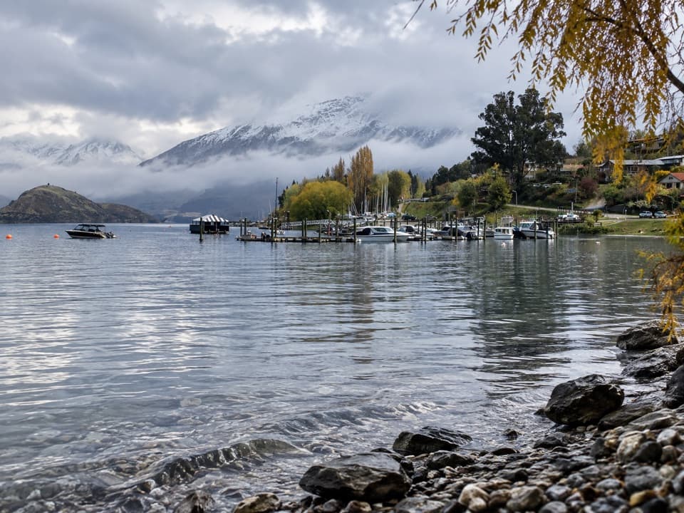
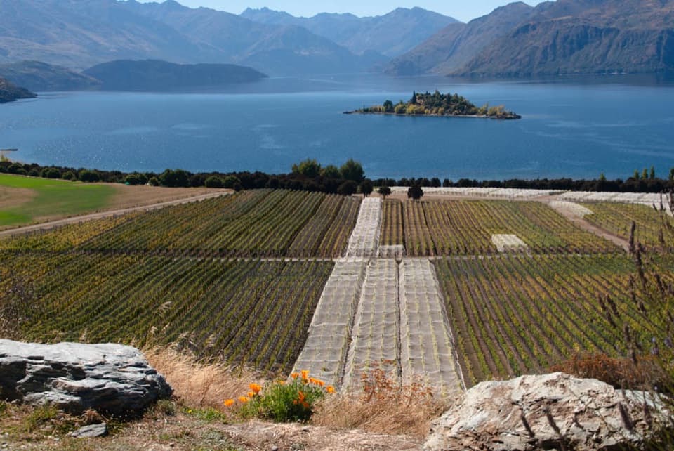
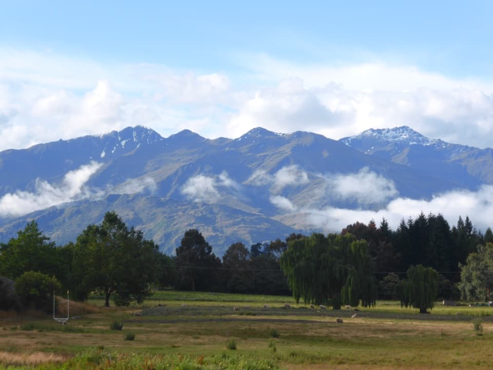
  • Lake and mountain views from the open terraces
  • Damper Bay adds a beach break to a long walk

Heads up

  • Short, steep gradients early on
  • Point-to-point logistics need planning

Map & elevation

The route

Loading the Queenstown-Lakes District map
Full map
Elevation278–351 m
TrailheadRuby Island Car Park, Ruby Island Road-44.68675, 169.09728
Keep this map with you offline in the Parkwolf app

Plan your hike

Before you go

Parking

Start at Ruby Island Car Park off Ruby Island Road at the Wānaka end. The far end is at Glendhu Bay, with access listed at Mount Aspiring Lookout Car Park and the Glendhu Bay campground. Arrange a pickup or plan your return before setting out.

Safety

The first section has a few short, steep gradients. Mountain bikes share the route, so keep alert for riders.

3 active Queenstown-Lakes District alerts

  • CautionRob Roy Track: stop at lower lookout during avalanche seasonFrom May to November, end your Rob Roy Track hike at the lower lookout: DOC strongly recommends this because the upper section crosses active avalanche paths.Official details
  • ClosureSkippers Bridge closed to all usersSkippers Bridge is closed to all vehicles, cyclists and pedestrians; stay off the bridge and obey closure signs and barriers.Official details
See all 3 alerts
A park ranger sits on a dash-mounted phone, talking, as Parkwolf’s Tour Guide plays “Army Cutworm Moths: A Grizzly Bear Buffet” on Grand Loop Road below Dunraven Pass in Yellowstone
Parkwolf Tour GuideThe highest, rockiest slopes around here are a summer buffet for grizzly bears.

Queenstown-Lakes District Tour Guide

Your drive to Glendhu Bay Track, narrated.

Parkwolf is a GPS audio tour guide for Queenstown-Lakes District, New Zealand. As you drive, it chimes in with what’s ahead: hidden gems, upcoming stops, history, geology, and wildlife, right through your car’s speakers.

See the Queenstown-Lakes District audio tour

Recorded for this trailhead

Glendhu Bay Track from Ruby Island Road
0:00 / 0:22
“Glendhu Bay Track is coming up at the Ruby Island Road car park. Choose it for a half-day along Lake Wānaka, with open terraces and a beach break at Damper Bay.”

Plays as you drive up to this trailhead in the Parkwolf Queenstown-Lakes District Tour Guide.

More stories near here in the app

  • Saturday Nights on Ruby Island
  • Rippon Vineyard
  • Eely Point Reserve
  • Bremner Bay and Beacon Point
  • 298 audio storiesacross Queenstown-Lakes District’s roads, triggered by GPS as you drive
  • Wildlife heatmapsfor Kea, Kākā, Kererū, and 13 more
  • Works offlinemaps, 155 trails, 129 places, and audio download before you lose signal
  • CarPlay readysimple controls built for the drive
★★★★★
“Fantastic app with many points of information… It’s great to just turn on while you’re driving and it gives you an audio tour of the national Park. We love it!!!!”
JMJamesApp Store review
Download Parkwolf on the App StoreGet Parkwolf on Google Play

4.7 from 8,600+ ratings

Trail guide

Hiking Glendhu Bay Track

A one-way walk to the bayGlendhu Bay Track is a point-to-point walk along Lake Wānaka, from Ruby Island Road Car Park to…

Glendhu Bay Track is a point-to-point walk along Lake Wānaka, from Ruby Island Road Car Park to the Glendhu Bay end. The route represented here is about 12.5 km one way; allow 3–4 hours. Some descriptions give 15 km for the Wānaka-to-bay outing, so check which start your directions include before setting out. This is a proper half-day walk, not a quick shore stroll, and you’ll need a plan for getting back.
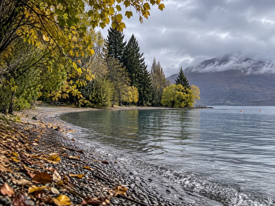
The terraces and the first climbFrom Waterfall Creek, the well-formed path follows re-vegetated terraces above the lake.

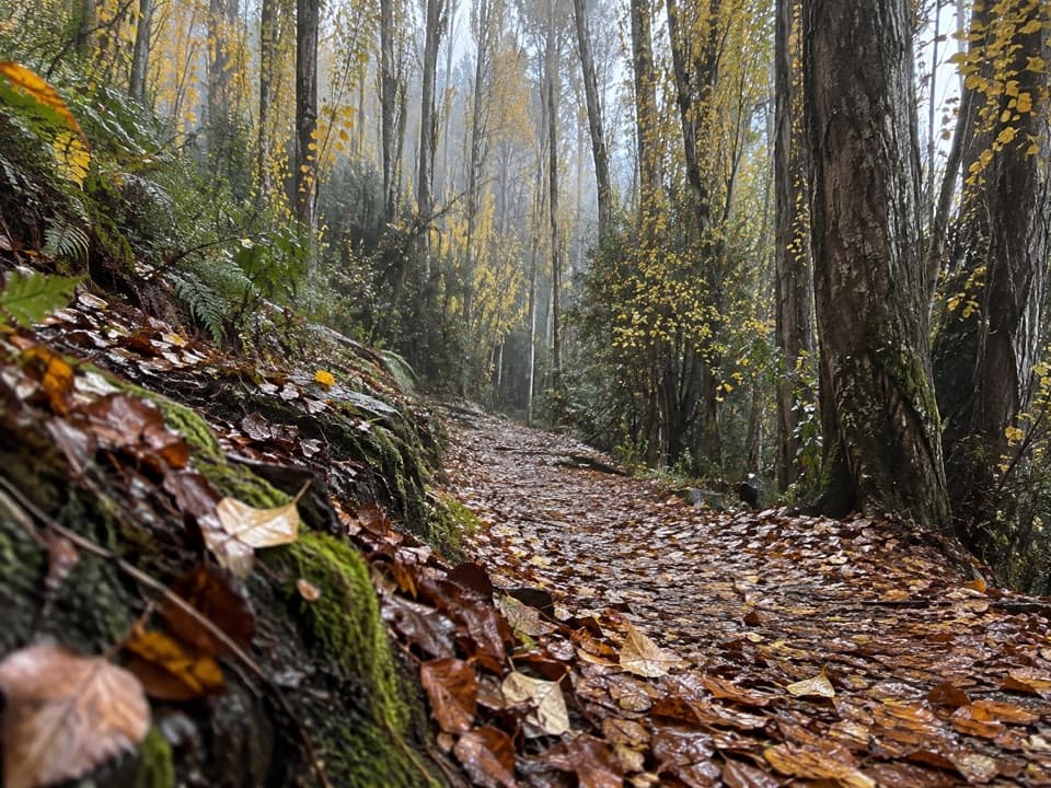
From Waterfall Creek, the well-formed path follows re-vegetated terraces above the lake. The first section is the hilliest, with a few short, steep gradients, then the walking eases. Open stretches give you lake and mountain views. This is a shared walking and biking track; riders are asked to give way to walkers.

Stop at Damper BayThe route drops to a small, north-facing beach at Damper Bay, a good pause and a possible…

The route drops to a small, north-facing beach at Damper Bay, a good pause and a possible summer swim. Beyond the beach, the track gets easier as it continues toward Glendhu Bay. At the far end, look back across the lake toward Mount Aspiring.

Wildlife

Wildlife in Queenstown-Lakes District

All Queenstown-Lakes District wildlife maps

Sighting maps show where each species has been reported across Queenstown-Lakes District. Wildlife moves, so no sighting is guaranteed.

Keep exploring

Near Glendhu Bay Track

See it all on the map

Trails that start nearby

Places near the trailhead

Parkwolf’s Queenstown-Lakes District ranking

Top-rated trails in Queenstown-Lakes District

All 155 trails
  1. 1Routeburn TrackChallenging · 33.1 km
  2. 2Roys Peak TrackChallenging · 16 km
  3. 3Ben Lomond TrackChallenging · 14 km
  4. 4Rob Roy TrackModerate · 10 km
  5. 5Isthmus Peak TrackChallenging · 16 km
  6. 6Routeburn Falls TrackChallenging · 19.6 km

Take Parkwolf to Queenstown-Lakes District.

The audio tour guide for the drive, plus offline maps, trails, and wildlife heatmaps for when the signal drops.

4.7 from 8,600+ ratings

Download Parkwolf on the App StoreGet Parkwolf on Google Play